Cedar Mountain East

Total Miles4
Technical Rating
3Easy
Best TimeSpring, Summer, Fall
Trail TypeFull-Width Road
Accessible By
Open Trail Map

Trail Overview

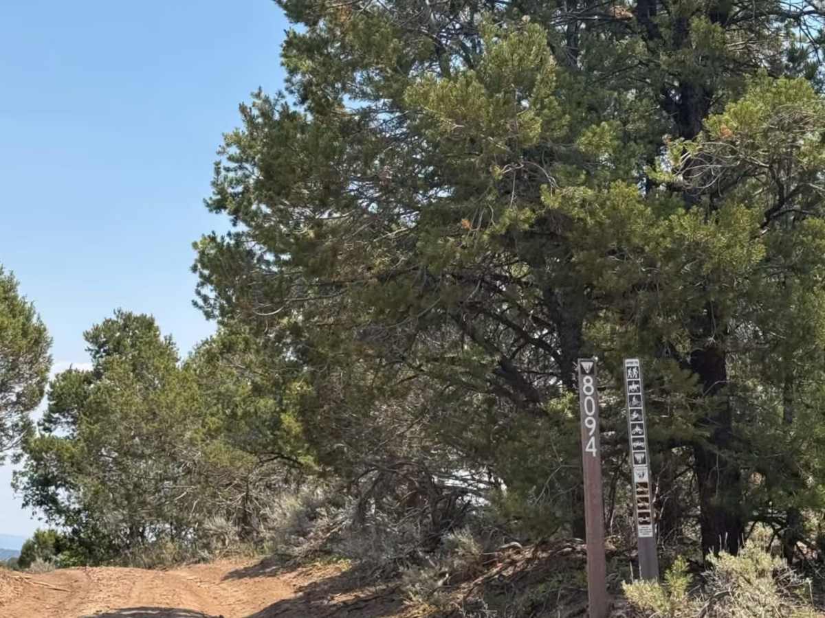
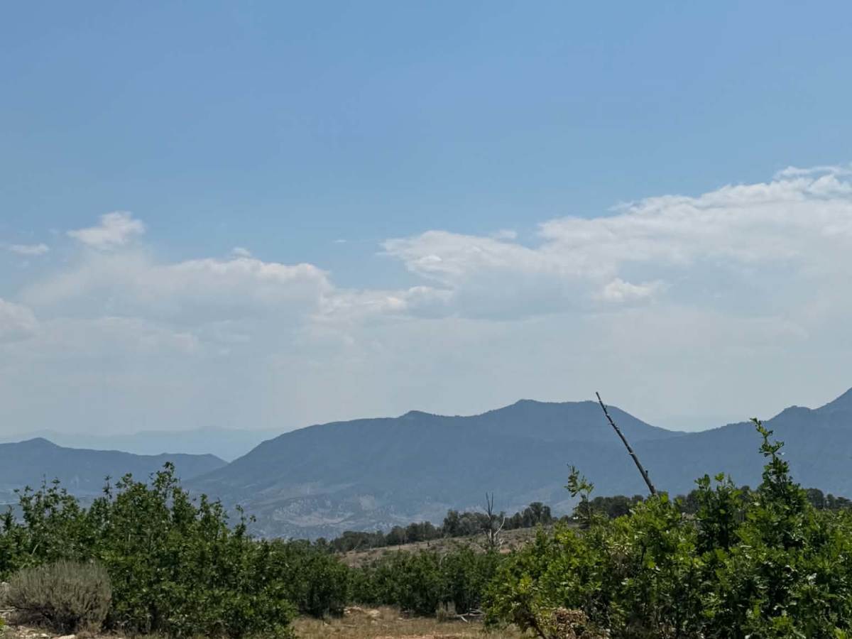
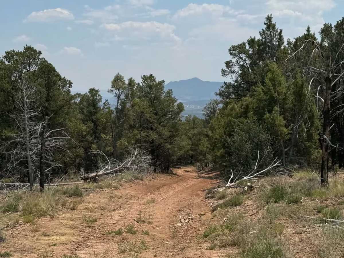
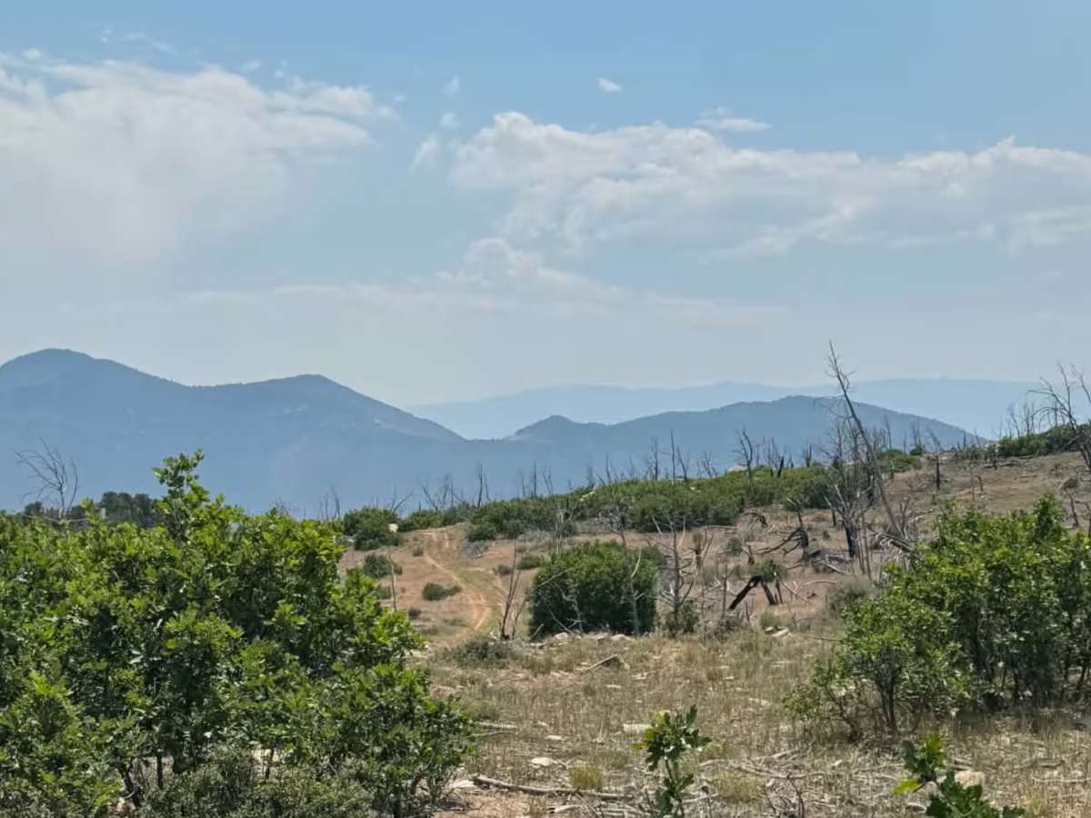
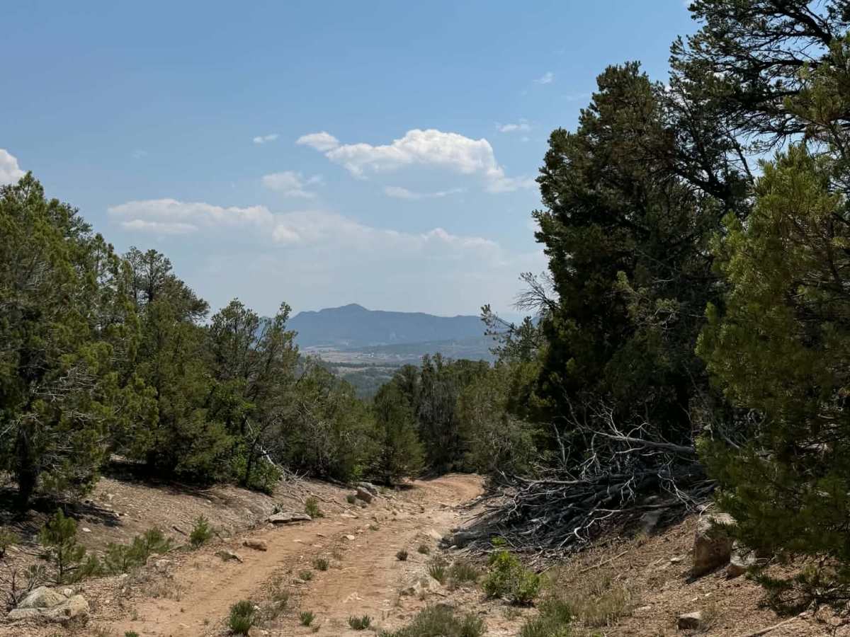
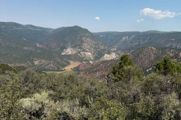
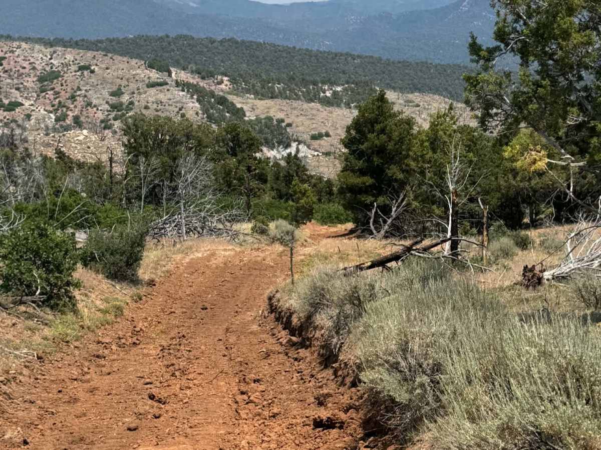
This is an out-and-back route that leads you to an overlook on the east side. It is a dirt road with rocky and rutted areas. On the east end of the route is a bigger turnaround area. Do not try to take the trails going left or right; there are dead ends with no place to turn around, and it can be very dangerous. From here, you'll be above the former Garfield Mine, which once produced uranium. This is on private land, so do not trespass.

Photos of Cedar Mountain East

Difficulty

Overall, an easy trail that most 4WD vehicles with clearance will not have any issues with. At the far east end, there is a turnaround area, since the last portion of the route is closed and on private property. Again, do not try to take trails to the left or right of the lookout area as they can be dangerous with no place to turn around.

Technical Rating

3

Cedar Mountain East Trail can be accessed by the following ride types:

  • Single Track
  • 50 Inch
  • 60 Inch
  • High Clearance
  • Full Width

Cedar Mountain East Map

The onX Offroad Difference

onX Offroad combines trail photos, descriptions, difficulty ratings, width restrictions, seasonality, and more in a user-friendly interface. Available on all devices, with offline access and full compatibility with CarPlay and Android Auto. Discover what you're missing today!

Open Trail Map