
Dirt Bike Trails
Near Rarity Bay, Tennessee
Explore All Dirt Bike Trails Near Rarity Bay, Tennessee
Dirt Bike Trails Near Rarity Bay, Tennessee
Discover the best dirt bike trails near you. Browse trail maps, check difficulty ratings, and find your next adventure — whether you're looking for a quick ride or an all-day expedition.
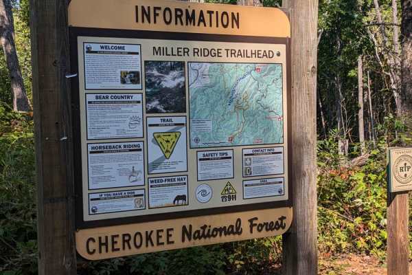
Bark Camp- Lost Cove- Miller's Ridge
This is a super easy two-track seasonal trail. This trail is only open from 10-1 to 12-18. Double-check the rules for this trail with Tellico Ranger District. It was open today with some off-shoots open as well. We didn't encounter any challenges really. The hunters run this trail both ways so be mi...
Learn more about Bark Camp- Lost Cove- Miller's Ridge
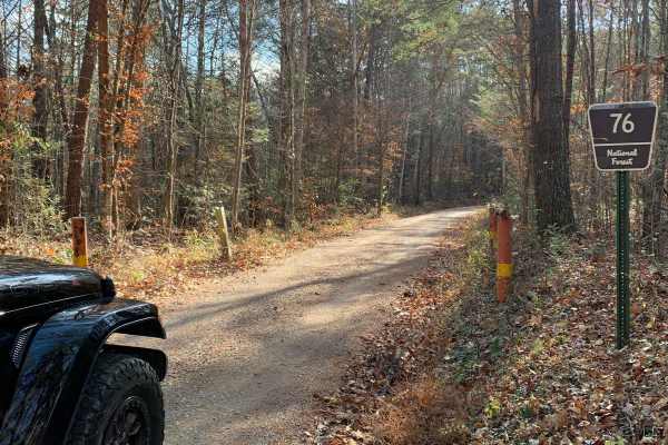
Old Furnace Road FSR 76
This road begins right across from Tellico Beach, which is a great place to eat if you're in the Tellico area. The road starts with an easy climb with great views of the surrounding mountains and valleys. There are several level pull-offs along the road where you can disperse camp. There's cell sign...
Learn more about Old Furnace Road FSR 76
FR126 Waucheesi Bald
The trail to Waucheesi Bald is a gravel trail. The trail has been recently re-graveled. It is a two-way road so make sure you watch for oncoming traffic. The road will take you along Bald River and at the top of Waucheesi Bald is spectacular views, where we had lunch and spent the afternoon. For th...
Learn more about FR126 Waucheesi Bald
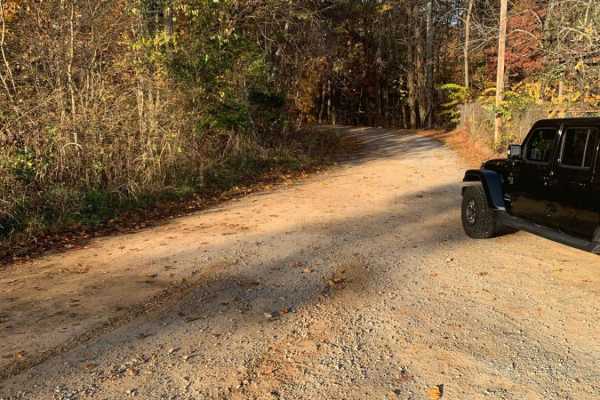
Starr Mountain Road 297
Starr Mountain Road 297 is an inviting, scenic route perfect for beginners, scenic cruisers, and those looking to access backcountry dispersed campsites within the Cherokee National Forest. Spanning approximately 6.4 miles, this winding gravel road climbs from an elevation of 1,085 feet up to 2,130 ...
Learn more about Starr Mountain Road 297

Mad Dog
This trail runs from North River Rd Shortcut - 216 to the Cherohala Skyway in the Cherokee National Forest. This trail is mainly dirt with some small rocks. It winds through clearings and forest. Beware that pinstriping is very likely in the spring-fall months. At around 2 miles in, you come across ...
Learn more about Mad Dog
North River Shortcut - 216
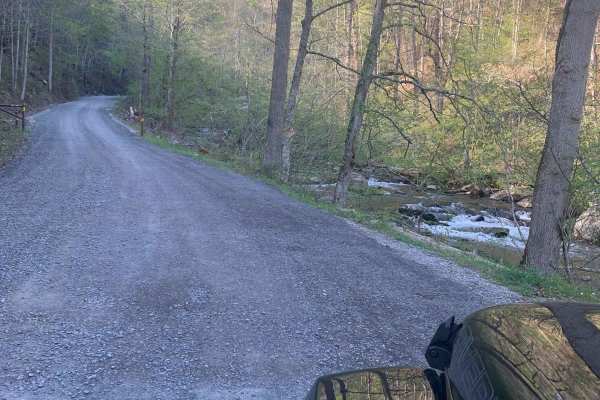
This is a very easy and recently maintained gravel road. Safe for most 4WD and high-clearance 2WD vehicles. Lots of places to camp but you are required to camp in designated areas. There is no cell service (Verizon). There is a designated burn in the area so the smoke could be an issue. There is an ...
Learn more about North River Shortcut - 216
Starr Mountain Road 220
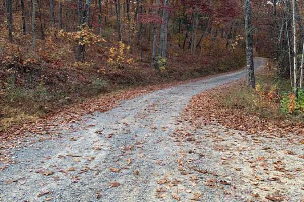
This is a well-maintained gravel Forest Service road. You do not need anything special to drive this road. You may see some deer. There is a bridge close to the end of the road that crosses a creek. There are a few spots where you can look out over the valleys and mountains, but you will need to vis...
Learn more about Starr Mountain Road 220
Slickrock Road
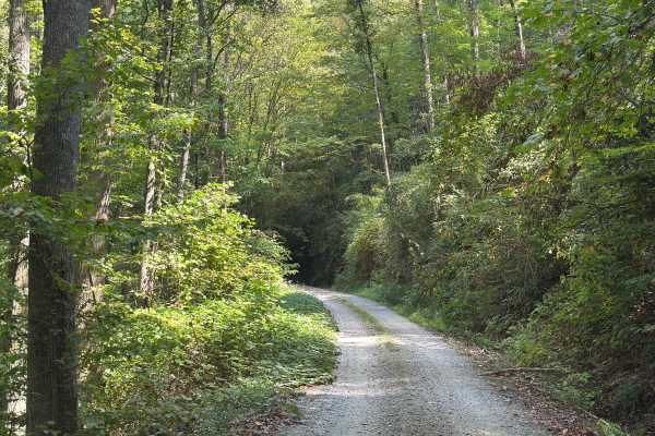
Slickrock Road is a gravel route that winds through the Nantahala National Forest. It is primarily one vehicle wide, though there are plenty of areas with room to pass. The road begins at Tapoco Road at an elevation of 1,277 feet and climbs to 3,062 feet over the course of seven miles. At the summit...
Learn more about Slickrock Road
North River Rd to Upper Santeetlah - 81
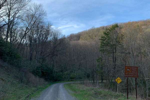
This trek starts at North River which is a well-maintained gravel road and then transitions to the Upper Santeetlah(81) trail which is less maintained. The Upper Santeetlah is not too bad and can be navigated by 2WD vehicles but you would need to go slow...make note that it is narrow in places. Lots...
Learn more about North River Rd to Upper Santeetlah - 81
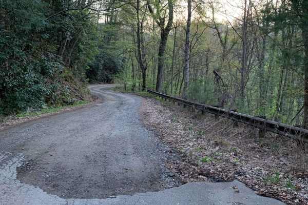
Upper Santeetlah - 81
This is a very easy and maintained gravel road. Safe for most 4WD and high-clearance 2WD vehicles. There are lots of places to camp but you are required to camp in designated areas...we saw some very large campers towards the end of the trail. The road runs next to Santeetlah Creek and there are lot...
Learn more about Upper Santeetlah - 81
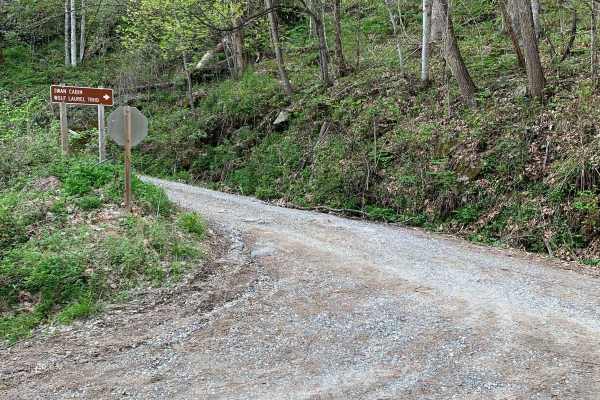
Wolf Laurel - 81F
This trail is not too bad but can be rutted in places and loose gravel on steep grades. The views from this trail are great, especially in the winter when the leaves are off the trees. There is a cabin along the trail called Swan Cabin that can be rented through the recreation.gov website. There are...
Learn more about Wolf Laurel - 81F
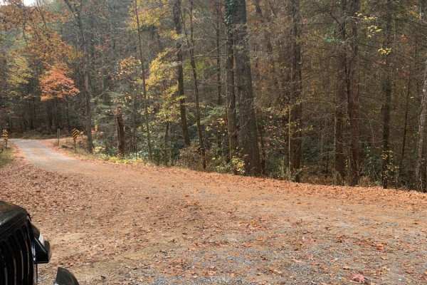
Bullet Creek Ellis Creek 44
This is an easy trail that can be driven by any vehicle. There are a few places on the road to see some great views. Very peaceful drive through the woods. There are several places to disperse camp on this road. There is a bridge across a fairly large creek about 3/4 way to the end of the trail.
Learn more about Bullet Creek Ellis Creek 44
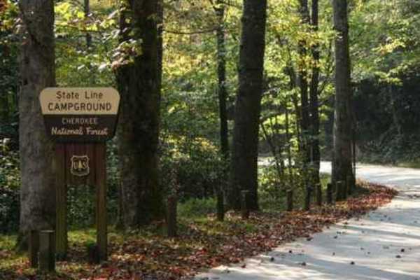
Trail 1 FR 420-1
Trail 1 FR 420-1 is a scenic, entry-level route perfect for beginners, overland enthusiasts, and high-clearance four-wheel-drive vehicles seeking sweeping ridge-line views of the Cherokee National Forest. Spanning approximately 8.6 miles, this trail begins at the State Line Campground at the end of ...
Learn more about Trail 1 FR 420-1
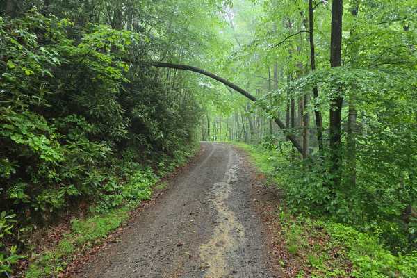
Shuler Creek - FS 50
Shuler Creek - FS 50 is an easy gravel Forest Service road off Highway 68 in Farner, within the Cherokee National Forest. It winds its way up the mountain, opening access to a few hiking trailheads along the way, which is a good option if you want to pair an easy backroad drive with time on foot.
Learn more about Shuler Creek - FS 50

Campground Connector
Campground Connector is a fun way of getting from Windrock Park's Campground to the general store on P1. Make the most of your time winding through the woods. This trail also requires a land use permit, so if you're just camping, then you would not be allowed to take this route. Be advised that it c...
Learn more about Campground Connector
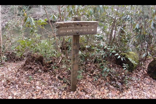
Duckett Ridge FSR #22B
The trail winds off the side of the mountain down to the historic Coker Creek River. This is known as the Lower Coker Creek trailhead. You will find a few very secluded camp spots along the river at the end of this trail. Many people use this as a base camp to hike the surrounding trails along the r...
Learn more about Duckett Ridge FSR #22B
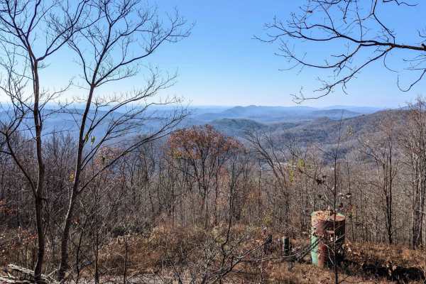
Trail 2
The trail is visibly marked and crosses paths with many other trails--a really nice slow climb winding up the small mountain. There are small to moderate mud holes, rocks 6-12 inches in size, and a couple of small rock ledges. There are harder and easier lines on the ledges. The views are amazing!
Learn more about Trail 2
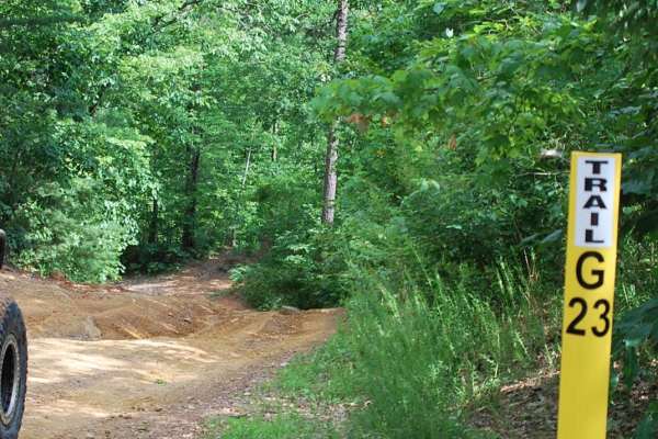
Trail G23 Windrock Park
Trail 23 will offer a pleasant and easy off-road experience for off-roaders of all skill levels. Nestled off of the long Trail 22 in Windrock Park, this trail provides a refreshing escape into nature without demanding advanced technical skills or equipment which takes you down to Indian Creek and Al...
Learn more about Trail G23 Windrock Park
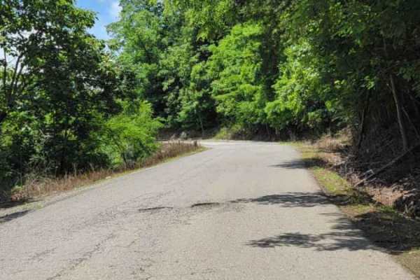
Trail P1
P1 is one of the main trail access roads from the General Store Parking lot. As you go up the mountain, be cautious of oncoming traffic. Several areas of the paved road have deteriorated over time. Most places coming down the mountain have no shoulder, or the roadway has given way. On the right side...
Learn more about Trail P1
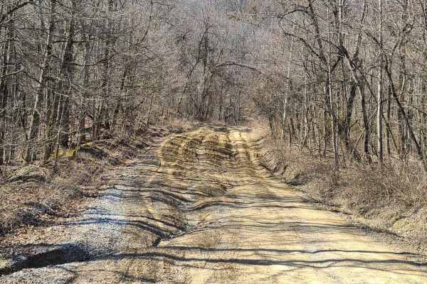
Windrock P1/G1
This is a great beginner's trail. It is about half gravel or pavement, with compacted dirt being the remaining bit. There are numerous large shallow puddles that pose no flood threat to any off-road vehicle. There are a few moderate obstacles that may require slow navigation, but the trail is wide e...
Learn more about Windrock P1/G1
ATV trails near Rarity Bay, Tennessee
Explore ATV-friendly trails near you. These trails are accessible for vehicles up to 50 inches wide, perfect for ATVs and smaller off-road machines.
Bark Camp- Lost Cove- Miller's Ridge
This is a super easy two-track seasonal trail. This trail is only open from 10-1 to 12-18. Double-check the rules for this trail with Tellico Ranger District. It was open today with some off-shoots open as well. We didn't encounter any challenges really. The hunters run this trail both ways so be mi...
Learn more about Bark Camp- Lost Cove- Miller's Ridge
Old Furnace Road FSR 76
This road begins right across from Tellico Beach, which is a great place to eat if you're in the Tellico area. The road starts with an easy climb with great views of the surrounding mountains and valleys. There are several level pull-offs along the road where you can disperse camp. There's cell sign...
Learn more about Old Furnace Road FSR 76
Starr Mountain Road 297
Starr Mountain Road 297 is an inviting, scenic route perfect for beginners, scenic cruisers, and those looking to access backcountry dispersed campsites within the Cherokee National Forest. Spanning approximately 6.4 miles, this winding gravel road climbs from an elevation of 1,085 feet up to 2,130 ...
Learn more about Starr Mountain Road 297
Mad Dog
This trail runs from North River Rd Shortcut - 216 to the Cherohala Skyway in the Cherokee National Forest. This trail is mainly dirt with some small rocks. It winds through clearings and forest. Beware that pinstriping is very likely in the spring-fall months. At around 2 miles in, you come across ...
Learn more about Mad Dog
UTV/side-by-side trails near Rarity Bay, Tennessee
Find UTV and side-by-side trails near you. These trails accommodate vehicles up to 60 inches wide, ideal for UTVs, side-by-sides, and wider off-road rigs.
Bark Camp- Lost Cove- Miller's Ridge
This is a super easy two-track seasonal trail. This trail is only open from 10-1 to 12-18. Double-check the rules for this trail with Tellico Ranger District. It was open today with some off-shoots open as well. We didn't encounter any challenges really. The hunters run this trail both ways so be mi...
Learn more about Bark Camp- Lost Cove- Miller's Ridge
Old Furnace Road FSR 76
This road begins right across from Tellico Beach, which is a great place to eat if you're in the Tellico area. The road starts with an easy climb with great views of the surrounding mountains and valleys. There are several level pull-offs along the road where you can disperse camp. There's cell sign...
Learn more about Old Furnace Road FSR 76
FR126 Waucheesi Bald
The trail to Waucheesi Bald is a gravel trail. The trail has been recently re-graveled. It is a two-way road so make sure you watch for oncoming traffic. The road will take you along Bald River and at the top of Waucheesi Bald is spectacular views, where we had lunch and spent the afternoon. For th...
Learn more about FR126 Waucheesi Bald
Starr Mountain Road 297
Starr Mountain Road 297 is an inviting, scenic route perfect for beginners, scenic cruisers, and those looking to access backcountry dispersed campsites within the Cherokee National Forest. Spanning approximately 6.4 miles, this winding gravel road climbs from an elevation of 1,085 feet up to 2,130 ...
Learn more about Starr Mountain Road 297
The onX Offroad Difference
onX Offroad combines trail photos, descriptions, difficulty ratings, width restrictions, seasonality, and more in a user-friendly interface. Available on all devices, with offline access and full compatibility with CarPlay and Android Auto. Discover what you're missing today!
Open Trail Map