
Dirt Bike Trails
Near Rafter J Ranch, Wyoming
Explore All Dirt Bike Trails Near Rafter J Ranch, Wyoming
Dirt Bike Trails Near Rafter J Ranch, Wyoming
Discover the best dirt bike trails near you. Browse trail maps, check difficulty ratings, and find your next adventure — whether you're looking for a quick ride or an all-day expedition.
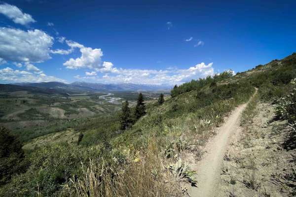
Big Munger
Big Munger is an 8.9-mile-long trail that begins on the north end at its intersection with Tusky Ridge and loops back to the main staging area. As the longest route in the Munger trail system, it offers a wide variety of terrain and consistently scenic riding, and is also popular with mountain biker...
Learn more about Big Munger
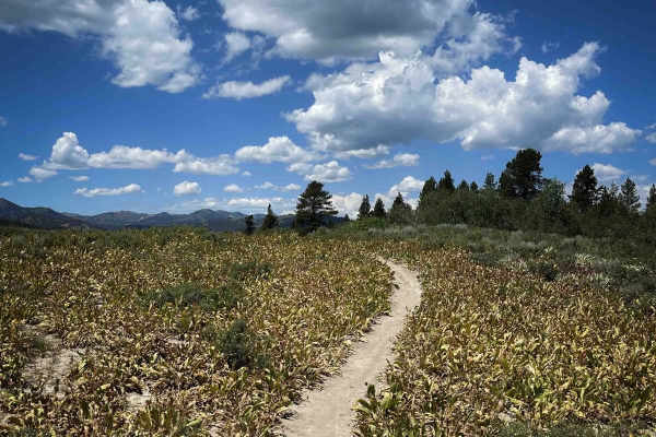
Wally World
Wally World is a 1.6-mile-long narrow singletrack trail located within the Munger trail system. The route passes through tall grasses, wildflowers, and groves of slender aspen trees, offering expansive views of the mountains and the valley below. The first 0.7 miles from the south end are flat and g...
Learn more about Wally World
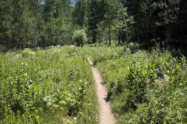
Poison Creek
Poison Creek is a 2-mile-long singletrack trail that climbs gradually from north to south, gaining approximately 600 feet in elevation. The north end of the trail begins at a small trailhead off Wilson Fall Creek Road and maintains an easy, flowy character throughout. Riders travel through scenic as...
Learn more about Poison Creek
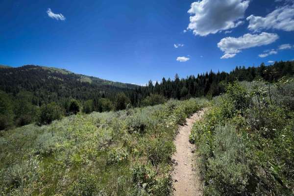
Squaw Creek
Squaw Creek is a 1.6-mile-long single-track trail that climbs gradually through a scenic forest dominated by aspens and tall grasses. Traveling from north to south, the trail gains approximately 600 feet in elevation, but the climb is mostly mild and consistently easy. The route features smooth, flo...
Learn more about Squaw Creek
Tusky Ridge
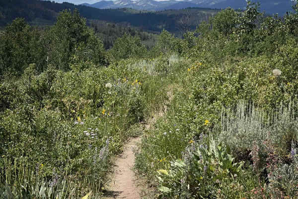
Tusky Ridge is a 2.3-mile-long singletrack trail that gradually descends from south to north, losing approximately 600 feet in elevation. The route flows smoothly through groves of aspens and fields of wildflowers, with a combination of straight, gradual stretches and tight, winding turns. The trail...
Learn more about Tusky Ridge
Upper Crankshaft
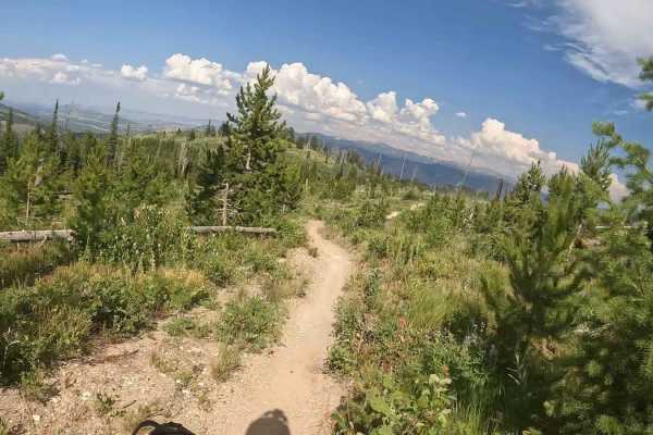
Upper Crankshaft is a maintained counter clock, single-track. Signs are posted for your safety. Do not ride it in the opposite direction. This trail can get super dusty in the summer months. Flows nicely through the woods and is wide open at the top. Mobile service is spotty.
Learn more about Upper Crankshaft
Crankshaft
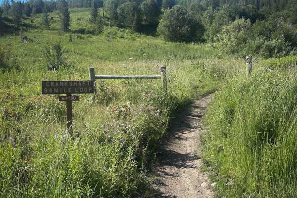
This is a 3.1-mile-long segment of the larger 9.4-mile Crankshaft Loop, which allows one-way travel and should be ridden in the clockwise direction. This section is characterized by smooth, fast-flowing singletrack that winds through open meadows and light tree cover. The trail features tight turns,...
Learn more about Crankshaft
Gear Down
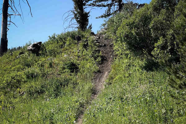
Gear Down is a 1.4-mile-long loop that offers an easy ride through forested areas and open meadows filled with tall grass and wildflowers. The trail has a few small climbs with embedded rocks and mildly steep descents, but overall the terrain remains manageable for less experienced riders. It's a bi...
Learn more about Gear Down
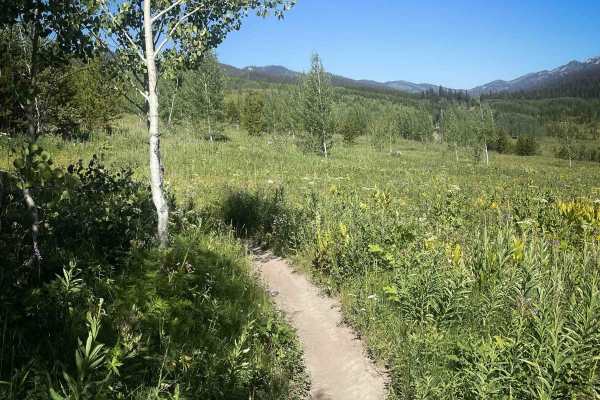
Kickstart (Kid's Loop)
Kickstart is a short 0.3-mile-long loop designed for beginner riders, particularly kids. The trail begins with smooth, fast-flowing single track and travels through flat open meadows. The dirt is hard-packed and easy to ride, and the path remains consistently narrow but unobstructed. Visibility is e...
Learn more about Kickstart (Kid's Loop)
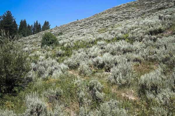
Rock Creek
Rock Creek is an almost two-mile-long narrow single-track trail that begins off of Big Munger Trail near the staging area. The route traverses sagebrush-covered hillsides and winds through scenic meadows and forested sections. The trail is mostly smooth with gradual grades and easy turns through tre...
Learn more about Rock Creek
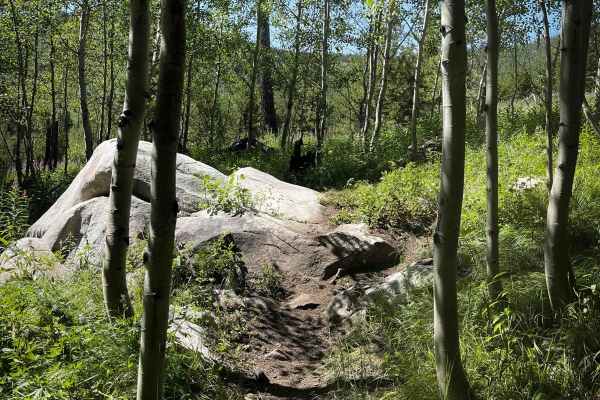
Arm Pump
Arm Pump is a 4.2-mile-long single-track trail that winds through scenic meadows and groves of slender aspen trees. The trail is narrow in places, bordered by tall grasses and wildflowers during the summer months. It features a combination of fast, flowy segments and tight, winding turns, with a few...
Learn more about Arm Pump
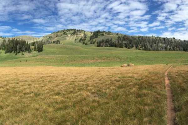
Palisades Indian Creek
This route has amazing views while you ride along two forks of a creek that enter Palisades after their confluence towards the trailhead. The route takes the rider from 5,800 to 9,400 feet while crossing and riding in the creek. On the southern side, the route is only 5 miles from the Hoback, a very...
Learn more about Palisades Indian Creek
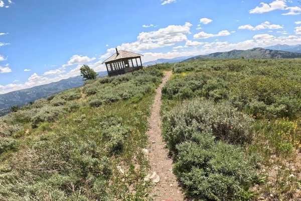
Elk Moutain Lookout
Located within the Bridger-Teton National Forest, Elk Mountain is a seasonal trail, so be sure to check current access dates. This challenging single-track is defined by a steep ascent, featuring a few super tight switchbacks throughout the first mile before transitioning into a rugged expanse of lo...
Learn more about Elk Moutain Lookout
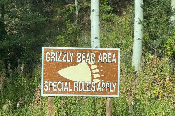
Ditch Creek Road
Ditch Creek is a road that ends in the National Forest, which means it offers camping in the Jackson Hole area! This road has some beautiful scenes throughout it, and some wildlife! There are a handful of dispersed campsites along this road as well. The trail itself has some pits that will fill with...
Learn more about Ditch Creek Road
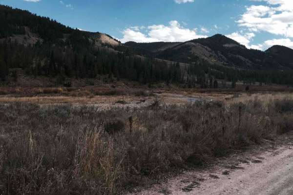
Cliff Creek - 30530
The trail has beautiful views and is an easy entrance to several hiking, mountain biking, and horse trails in the forest. The road is smooth dirt with mud possible during wet seasons. A few areas are steep or may have very minor water on the road after rain. The trail has a significant number of gre...
Learn more about Cliff Creek - 30530
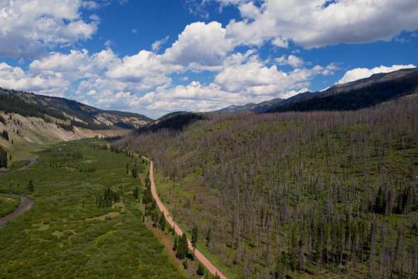
Greys River Road
This route takes you the whole length of the Wyoming Range following the Greys River. Along the way, you'll experience mountain vistas, the beautiful Greys River, wildlife, alpine lakes, and hundreds of places to camp. The trail is not aggressive at all, minus a few water crossings and the occasiona...
Learn more about Greys River Road
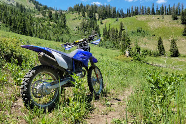
Mountain Single Track
Singletrack trail for dirt bikes only. It is not wide enough for anything with four wheels. This trail is on the advanced side with tight turns/corners, small creek crossings, brief loose sections, and occasional small obstacles. Good throttle control and bike maneuverability are a must. According t...
Learn more about Mountain Single Track
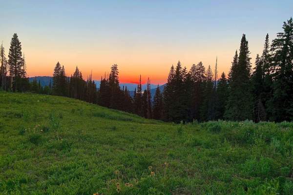
Squaw Creek
This trail has two important notes. First is that it is only open to 50" ATV's or smaller. Second is that it is seasonal : open July 1st through August 10th. This trail offers beautiful mountain landscapes with aspens, pines, fields of grassy wildflowers, and sweeping views of peaks and valleys. The...
Learn more about Squaw Creek
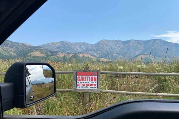
Alpine Scenic Beach Drive
NOTE THIS CAN ONLY BE DRIVEN DURING LOW RESERVOIR LEVELS! This is a gentle dirt road with two worn earth berms to cross. Closer to the reservoir along US Hwy 26, there are loose sandy areas. The low vantage point from the valley floor is breathtaking on a clear day with views of the surrounding moun...
Learn more about Alpine Scenic Beach Drive
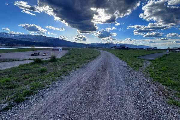
Old Palisades
Old Palisades can be taken from the Town of Alpine to the Palisades Reservoir instead of taking Old Alpine Road. Since this trail is adjacent to many homes, keep speed to 15 miles per hour or less. The trail is well traveled by dog walkers and hikers, be friendly in our small town, and stop and say ...
Learn more about Old Palisades
ATV trails near Rafter J Ranch, Wyoming
Explore ATV-friendly trails near you. These trails are accessible for vehicles up to 50 inches wide, perfect for ATVs and smaller off-road machines.
Ditch Creek Road
Ditch Creek is a road that ends in the National Forest, which means it offers camping in the Jackson Hole area! This road has some beautiful scenes throughout it, and some wildlife! There are a handful of dispersed campsites along this road as well. The trail itself has some pits that will fill with...
Learn more about Ditch Creek Road
Cliff Creek - 30530
The trail has beautiful views and is an easy entrance to several hiking, mountain biking, and horse trails in the forest. The road is smooth dirt with mud possible during wet seasons. A few areas are steep or may have very minor water on the road after rain. The trail has a significant number of gre...
Learn more about Cliff Creek - 30530
Greys River Road
This route takes you the whole length of the Wyoming Range following the Greys River. Along the way, you'll experience mountain vistas, the beautiful Greys River, wildlife, alpine lakes, and hundreds of places to camp. The trail is not aggressive at all, minus a few water crossings and the occasiona...
Learn more about Greys River Road
Squaw Creek
This trail has two important notes. First is that it is only open to 50" ATV's or smaller. Second is that it is seasonal : open July 1st through August 10th. This trail offers beautiful mountain landscapes with aspens, pines, fields of grassy wildflowers, and sweeping views of peaks and valleys. The...
Learn more about Squaw Creek
UTV/side-by-side trails near Rafter J Ranch, Wyoming
Find UTV and side-by-side trails near you. These trails accommodate vehicles up to 60 inches wide, ideal for UTVs, side-by-sides, and wider off-road rigs.
Ditch Creek Road
Ditch Creek is a road that ends in the National Forest, which means it offers camping in the Jackson Hole area! This road has some beautiful scenes throughout it, and some wildlife! There are a handful of dispersed campsites along this road as well. The trail itself has some pits that will fill with...
Learn more about Ditch Creek Road
Cliff Creek - 30530
The trail has beautiful views and is an easy entrance to several hiking, mountain biking, and horse trails in the forest. The road is smooth dirt with mud possible during wet seasons. A few areas are steep or may have very minor water on the road after rain. The trail has a significant number of gre...
Learn more about Cliff Creek - 30530
Greys River Road
This route takes you the whole length of the Wyoming Range following the Greys River. Along the way, you'll experience mountain vistas, the beautiful Greys River, wildlife, alpine lakes, and hundreds of places to camp. The trail is not aggressive at all, minus a few water crossings and the occasiona...
Learn more about Greys River Road
Alpine Scenic Beach Drive
NOTE THIS CAN ONLY BE DRIVEN DURING LOW RESERVOIR LEVELS! This is a gentle dirt road with two worn earth berms to cross. Closer to the reservoir along US Hwy 26, there are loose sandy areas. The low vantage point from the valley floor is breathtaking on a clear day with views of the surrounding moun...
Learn more about Alpine Scenic Beach Drive
The onX Offroad Difference
onX Offroad combines trail photos, descriptions, difficulty ratings, width restrictions, seasonality, and more in a user-friendly interface. Available on all devices, with offline access and full compatibility with CarPlay and Android Auto. Discover what you're missing today!
Open Trail Map