
Dirt Bike Trails
Near Pioche, Nevada
Explore All Dirt Bike Trails Near Pioche, Nevada
Dirt Bike Trails Near Pioche, Nevada
Discover the best dirt bike trails near you. Browse trail maps, check difficulty ratings, and find your next adventure — whether you're looking for a quick ride or an all-day expedition.
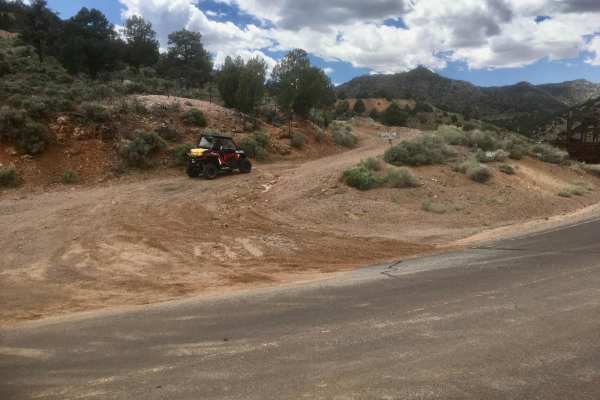
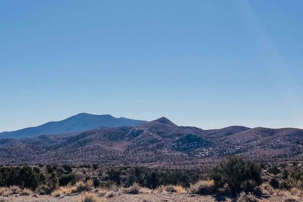
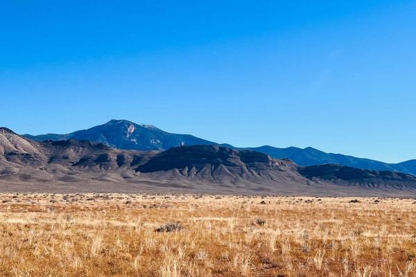
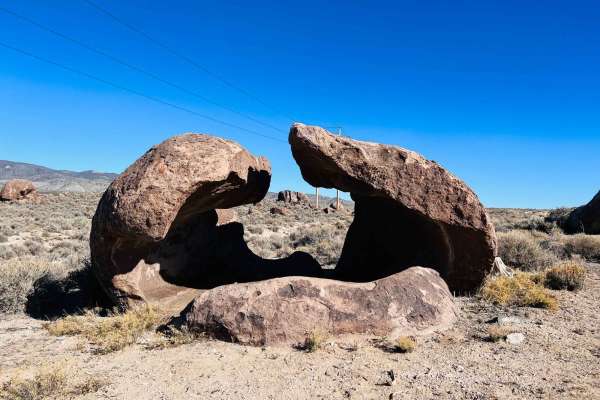
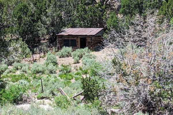
Caselton Access Road
This unmarked and unnamed BLM road provides the shortest and most direct connection between Pioche's quaint Nevada town and Caselton's mining district and village. The connection is made by traveling over the famed Treasure Hill just south of Pioche, Nevada. One can access a network of off-highway...
Learn more about Caselton Access Road
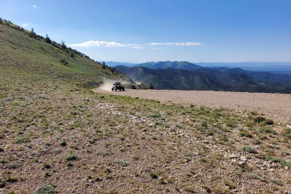
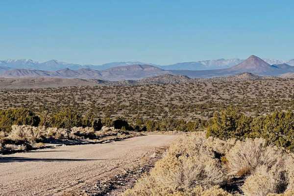
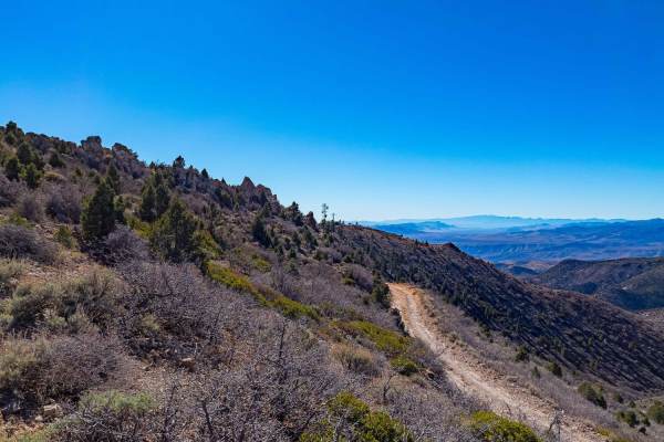
Mount Wilson Navigation Towers
This 26.2-mile trail takes you to the Mount Wilson Navigation Towers on top of Mount Wilson. Mount Wilson is the highest point in the Wilson Creek Mountains in Lincoln County, Nevada. The trail is maintained by the county road department for the ranchers, military, and communication companies from ...
Learn more about Mount Wilson Navigation Towers
Willow Springs Half Loop
This trail appears to be a loop when viewed on the map. It very well may be, but at the time of recording, the trail seemed to take a sharp left turn into a very narrow stream bed that would increase the difficulty and only allow access to a much smaller vehicle. Past the "turn," the trail appears t...
Learn more about Willow Springs Half Loop
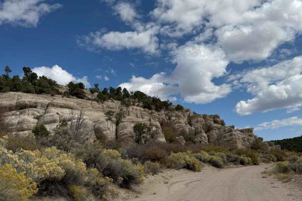
Comet Mine Road
Comet Mine Road is a scenic 10.5-mile mining road located in the Highland Range of Lincoln County, Nevada. The trail follows the eastern slopes of Highland Peak and provides access to some of the area's most significant historic mining sites, including the Pan American Mine and the Comet Mine. This ...
Learn more about Comet Mine Road
Comet
The name says it all. This well-maintained gravel road is smooth, with gradual turns and great views. It buzzes from the tarmac back into the valley and hills to provide easy access to this section of the Silver State trail. There is a lot of mining activity near the tarmac and plenty of offshoots t...
Learn more about Comet
Deer Lodge Road
This is a generally well-graded road, that can be washed out after storms. It's a great route between Nevada's Echo Canyon State Park and existing mapped trails on the Utah border side. Both the Nevada and Utah sides of the border are scattered with numerous mining sites easily accessible from trail...
Learn more about Deer Lodge Road
Bristol Pass
This broad dirt road heads from Highway 93 over the pass and into the valley on the other side. It's an excellent access point for the Silver State OHV trail to bring campers and trailers over for a base camp. There are offshoot trails all over the place and lots to see. Keep an eye out for large ea...
Learn more about Bristol Pass
Simpson Road
This fun, narrow road blasts across the desert and is generally smooth and well-graded. Until it isn't, be on the lookout for frequent deep washouts and ruts. When it's wet, entire sections of the road become flowing washes. In other sections, the water crosses the road and digs out further. Otherwi...
Learn more about Simpson Road
Hatch Road
With the right long travel vehicle, this road would be a blast! With the wrong one, a misjudgment could be catastrophic on the suspension. A better name for this route would be rollercoaster road, as it bobs and dives, twists and turns. There's lots of evidence of pretty recent heavy equipment use a...
Learn more about Hatch Road
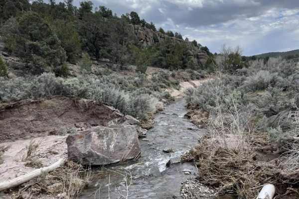
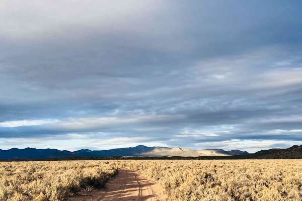
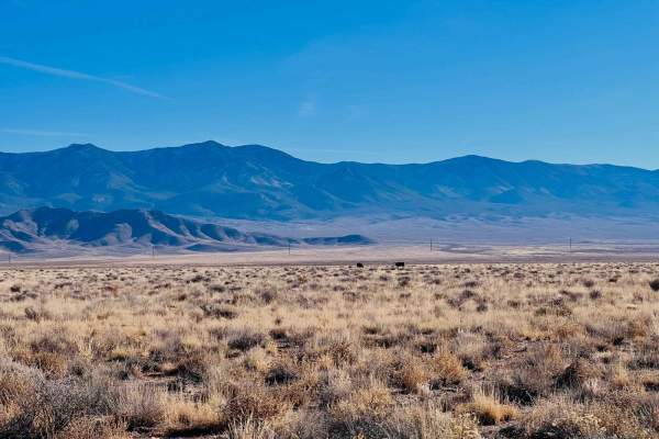
Spring Valley Loop
Camp Valley Loop is a scenic 46-mile lollipop route that starts and ends at Spring Valley State Park Campground. This trail delivers classic Great Basin riding with wide-open valleys, rolling sagebrush hills, long ridgelines, and a remote loop around Camp Valley that feels far removed from highways ...
Learn more about Spring Valley Loop
Bullfrog Reservoir
This fun little loop circles down to the very large Bullfrog Reservoir and then cuts to a much smaller one with some interesting artifacts of ranching days gone by. There's a newer corral near the smaller tank. In the winter, the smaller tank is frozen, contrasting with the barren desert around. Wat...
Learn more about Bullfrog Reservoir
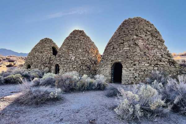
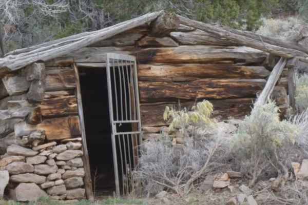
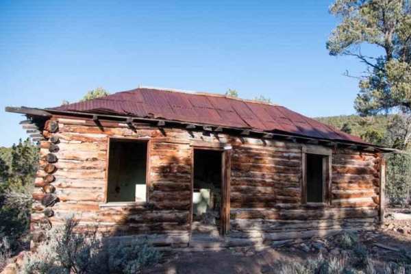
Dry Lake Road
The beginning of this trail is a fascinating old mining complex complete with what appears to be three remarkably intact old coke ovens. Some even seem to have fire pits in the center, which would be an excellent place for one in inclement weather. There are also two old stone structures to explore,...
Learn more about Dry Lake Road
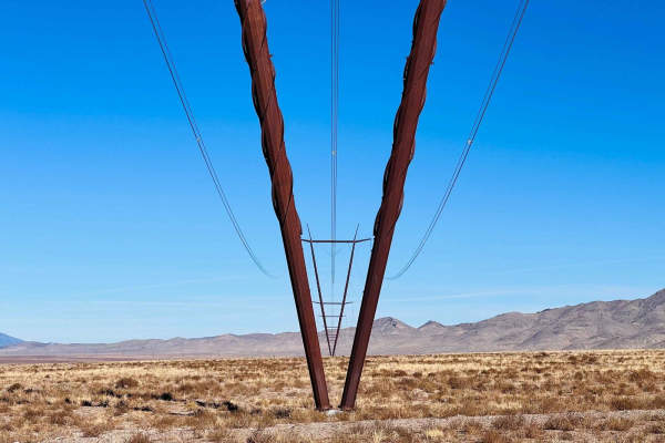
Black Canyon
This trail has a lot of elevation change and crosses over many washes that are sandy and rocky. During monsoon season, they could be very dug out. However, seeing as how this is an access road for the powerlines and buried fiber optic lines, it appears to be graded quite often. There are fantastic v...
Learn more about Black Canyon
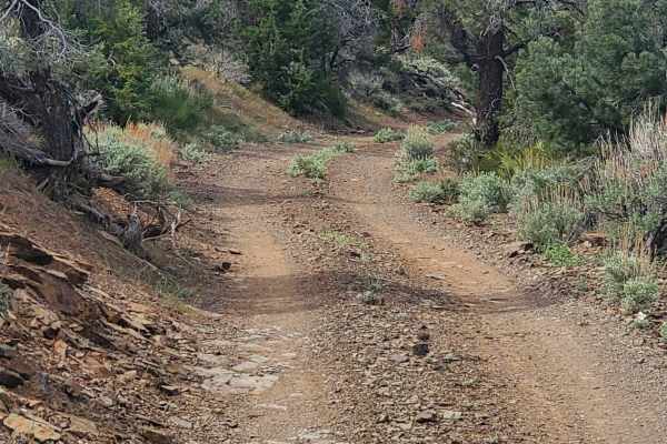
Homestrike Mine - Horseshoe Mine Trail
Homestrike Mine - Horseshoe Mine Trail is a 2.8-mile point-to-point trail rated 3 of 10 located in Lincoln County, Nevada. The trail runs north/south through the Fey Canyon and connects with Midnight Wash all part of the Paradise Mountains. The trail is a simple single-track, which at times may be o...
Learn more about Homestrike Mine - Horseshoe Mine Trail
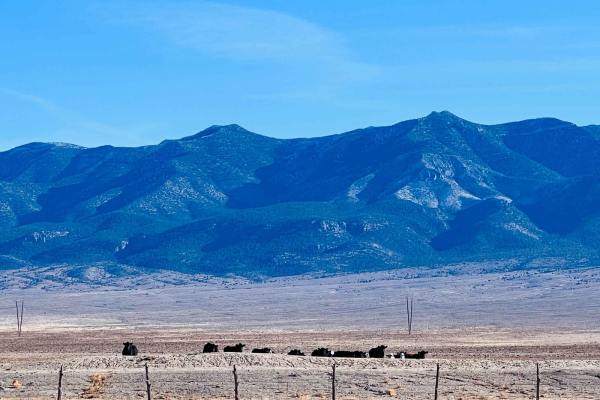
Lower Pond Road
This easy narrow road cuts across the higher side of the dry lake bed, making it a good option if wet. It's smooth and well-graded with long grasses to rather side. The open range leads to a good-sized watering tank for the many cattle grazing around this open valley. Pick a direction to look, and y...
Learn more about Lower Pond Road
Midnight Wash - Jenny Mine Road
Midnight Wash - Jenny Mine Road is a 2.4-mile point-to-point trail rated 3 of 10 located in Lincoln County, Nevada, and Iron County, Utah. The road crosses Buck Mountain and passes several of the major historic mines located in the area including the Little Buck Mine, Thor Mine, and Jennie Mines. Th...
Learn more about Midnight Wash - Jenny Mine Road

Moapa to Caliente Via Barclay
All of the maintained dirt roads can be done in a stock truck or SUV, with the exception of the short loop we took off of Sams Camp Road. That is narrow and would require a modified high clearance jeep or SUV. Graded roads through the desert ascending into trees and beautiful scenery. Many camping s...
Learn more about Moapa to Caliente Via Barclay

Barnes Canyon Road
This road runs from Clover Creek through Barnes Canyon providing access to several different roads: Fife, Stoker Flats, and East Pass. The road is maintained and easy enough for 2WD vehicles and wide enough for 2 vehicles to pass. Scenic low mountain landscape in every direction. Sage Brush flats, C...
Learn more about Barnes Canyon Road
Hacketts Ranch Road
Hacketts Ranch Road is a 3-mile point-to-point trail rated 3 of 10 located in Lincoln County, Nevada. The road runs from the Utah state line west to the Hackett Ranch. The trail from the state line down the mountain to Hacketts Ranch is little used and may be overgrown, pinstriping is a distinct pos...
Learn more about Hacketts Ranch Road
Ella Mtn. Fire Lookout
Some maintained dirt roads and some narrow tight turns with a couple of minor rock climbing sections. Beautiful scenery all along the way as you ascend up the lookout. Easily completed in a high clearance 4X4 or UTV. Look for wild horses along the way once in higher elevations.
Learn more about Ella Mtn. Fire Lookout
ATV trails near Pioche, Nevada
Explore ATV-friendly trails near you. These trails are accessible for vehicles up to 50 inches wide, perfect for ATVs and smaller off-road machines.
Caselton Access Road
This unmarked and unnamed BLM road provides the shortest and most direct connection between Pioche's quaint Nevada town and Caselton's mining district and village. The connection is made by traveling over the famed Treasure Hill just south of Pioche, Nevada. One can access a network of off-highway...
Learn more about Caselton Access Road
Mount Wilson Navigation Towers
This 26.2-mile trail takes you to the Mount Wilson Navigation Towers on top of Mount Wilson. Mount Wilson is the highest point in the Wilson Creek Mountains in Lincoln County, Nevada. The trail is maintained by the county road department for the ranchers, military, and communication companies from ...
Learn more about Mount Wilson Navigation Towers
Willow Springs Half Loop
This trail appears to be a loop when viewed on the map. It very well may be, but at the time of recording, the trail seemed to take a sharp left turn into a very narrow stream bed that would increase the difficulty and only allow access to a much smaller vehicle. Past the "turn," the trail appears t...
Learn more about Willow Springs Half Loop
Comet Mine Road
Comet Mine Road is a scenic 10.5-mile mining road located in the Highland Range of Lincoln County, Nevada. The trail follows the eastern slopes of Highland Peak and provides access to some of the area's most significant historic mining sites, including the Pan American Mine and the Comet Mine. This ...
Learn more about Comet Mine Road
UTV/side-by-side trails near Pioche, Nevada
Find UTV and side-by-side trails near you. These trails accommodate vehicles up to 60 inches wide, ideal for UTVs, side-by-sides, and wider off-road rigs.
Caselton Access Road
This unmarked and unnamed BLM road provides the shortest and most direct connection between Pioche's quaint Nevada town and Caselton's mining district and village. The connection is made by traveling over the famed Treasure Hill just south of Pioche, Nevada. One can access a network of off-highway...
Learn more about Caselton Access Road
Mount Wilson Navigation Towers
This 26.2-mile trail takes you to the Mount Wilson Navigation Towers on top of Mount Wilson. Mount Wilson is the highest point in the Wilson Creek Mountains in Lincoln County, Nevada. The trail is maintained by the county road department for the ranchers, military, and communication companies from ...
Learn more about Mount Wilson Navigation Towers
Willow Springs Half Loop
This trail appears to be a loop when viewed on the map. It very well may be, but at the time of recording, the trail seemed to take a sharp left turn into a very narrow stream bed that would increase the difficulty and only allow access to a much smaller vehicle. Past the "turn," the trail appears t...
Learn more about Willow Springs Half Loop
Comet Mine Road
Comet Mine Road is a scenic 10.5-mile mining road located in the Highland Range of Lincoln County, Nevada. The trail follows the eastern slopes of Highland Peak and provides access to some of the area's most significant historic mining sites, including the Pan American Mine and the Comet Mine. This ...
Learn more about Comet Mine Road
The onX Offroad Difference
onX Offroad combines trail photos, descriptions, difficulty ratings, width restrictions, seasonality, and more in a user-friendly interface. Available on all devices, with offline access and full compatibility with CarPlay and Android Auto. Discover what you're missing today!
Open Trail Map