Trail Overview
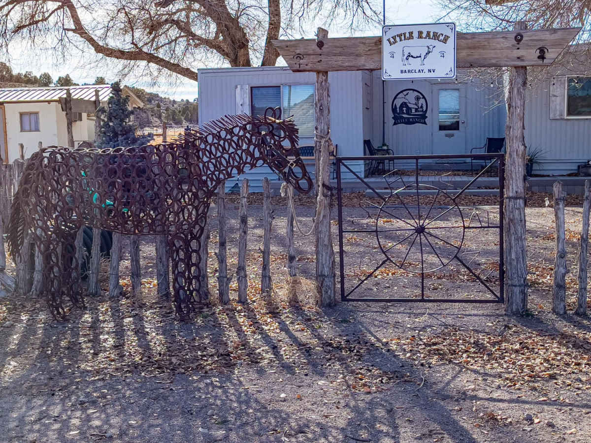
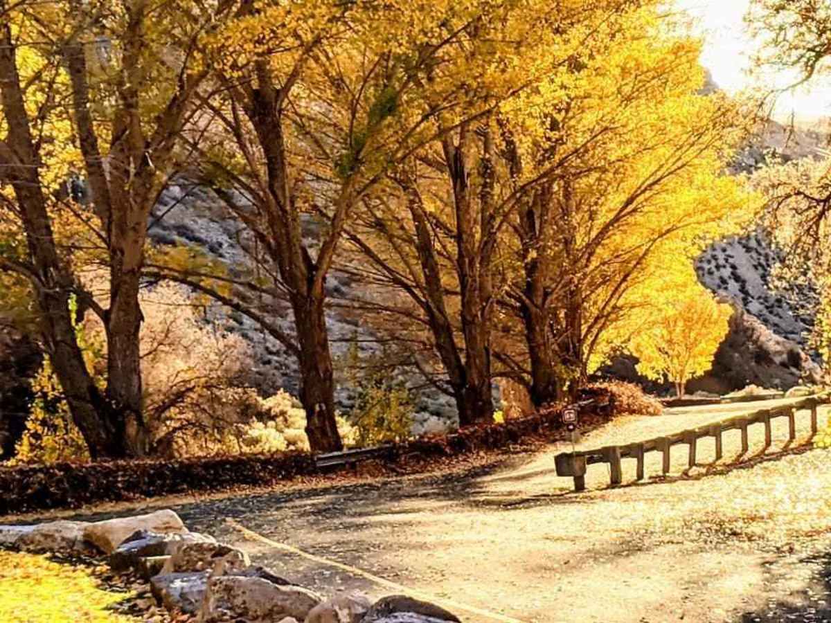
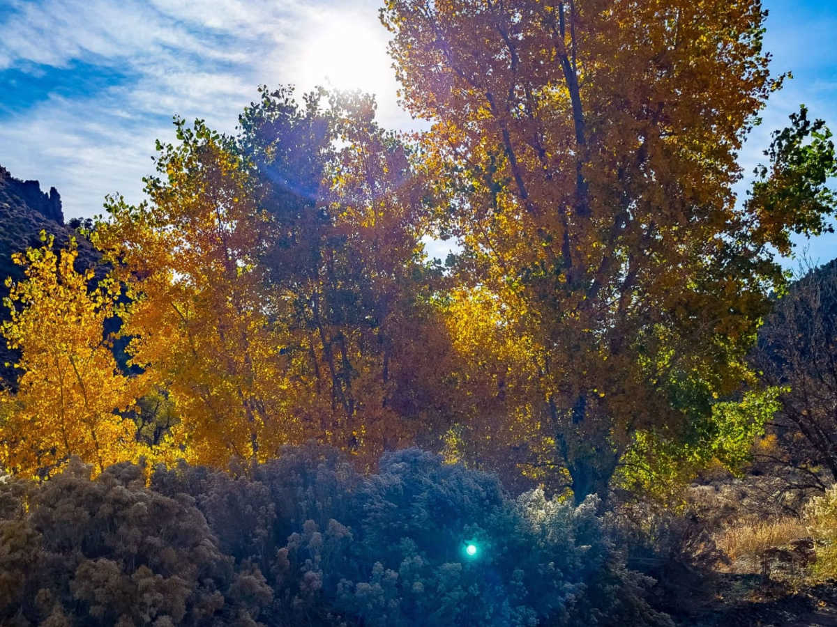
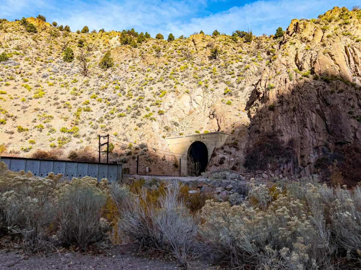
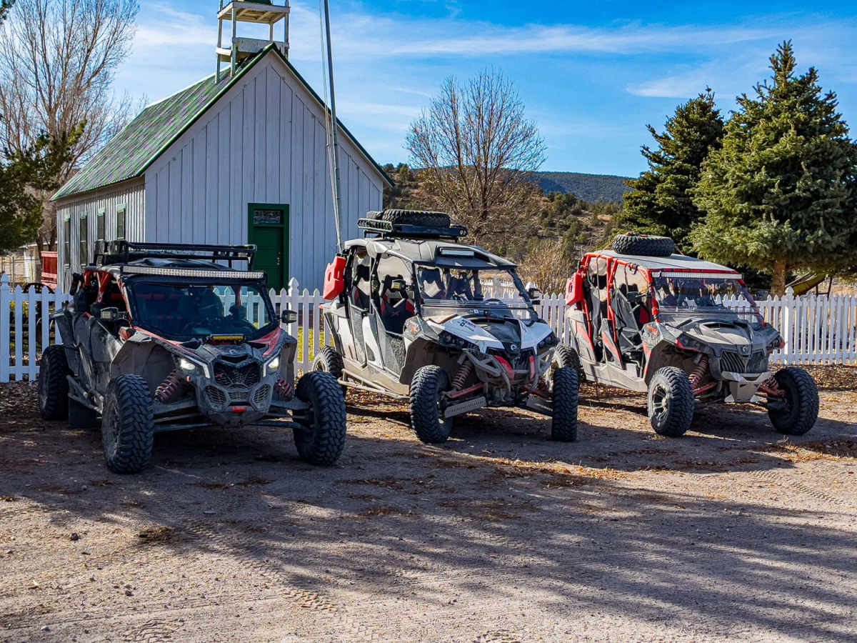
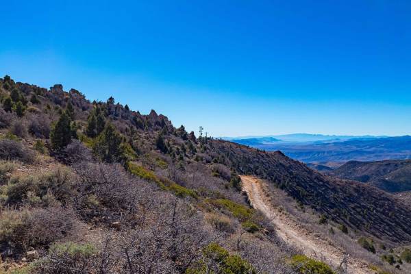
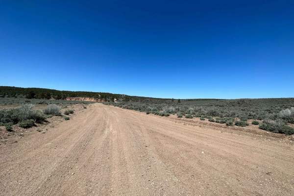
This scenic, point-to-point route from Moapa to Caliente via Barclay is ideal for offroaders seeking an expansive, low-difficulty journey through diverse desert landscapes, transitioning into forested high-country elevations. Spanning approximately 90.7 miles, the trail takes drivers from a starting elevation of 1,738 feet up to a peak of 6,603 feet, making it accessible to stock two-wheel-drive and four-wheel-drive vehicles alike, provided travelers stick to the main maintained dirt roads. The route winds through graded desert paths that ascend into beautiful high-elevation pine trees, offering numerous dispersed camping spots and views of nearby reservoirs. Along the way, the historic cattle and railroad town of Barclay, established in 1860, provides a fascinating historic stopping point where a preserved schoolhouse and church still stand.
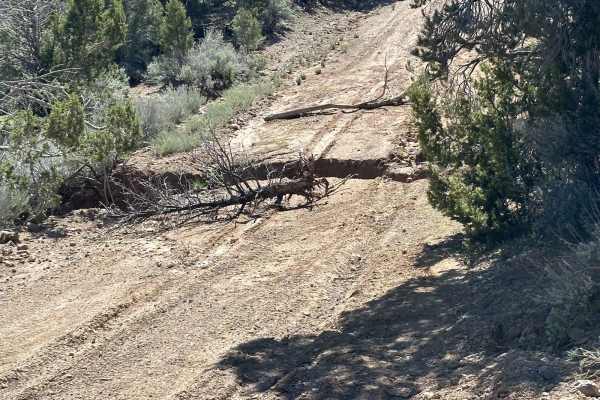
While the main thoroughfare remains an easy, graded dirt road suitable for stock SUVs and trucks, those seeking more challenging terrain can explore technical side spurs, such as the narrow loop off Sam's Camp Road, which demands a modified, high-clearance four-wheel-drive vehicle. As the trail approaches its northern terminus in the ATV-friendly town of Caliente, drivers will encounter shallow water crossings that add a fun, dynamic element to the drive. This long-distance adventure is highly suitable for dual-sport motorcycles, SxSs, and overland rigs looking for a multi-hour or overnight expedition. Caliente offers amenities including lodging at the Shady Motel and local dining options like the Knotty Pine, making it an excellent basecamp or ending point for the trip.