
Dirt Bike Trails
Near Pendergrass, Georgia
Explore All Dirt Bike Trails Near Pendergrass, Georgia
Dirt Bike Trails Near Pendergrass, Georgia
Discover the best dirt bike trails near you. Browse trail maps, check difficulty ratings, and find your next adventure — whether you're looking for a quick ride or an all-day expedition.
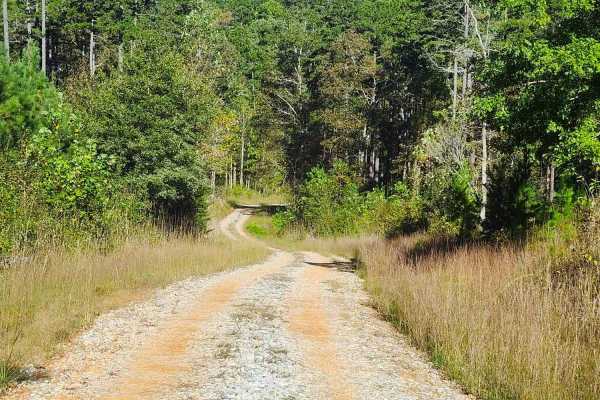
Beaver Swamp Trail
This scenic 2.6-mile, single-lane out-and-back trail winds through steep slopes, winding turns, and rolling dips, offering occasional passing areas, dispersed campsites, and short exploratory spurs. The route passes through private property boundaries and ends near a gated private property boundary ...
Learn more about Beaver Swamp Trail
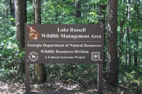
Georgia Mountain Orchard
Georgia Mountain Orchard Road is an easy route into the Lake Russel WMA. This route begins just outside of Cornelia, Georgia. This road can be driven in 2WD and is a relaxing trek overall. Driving south, you will encounter Austin Cemetery on the left. It is easy to pass if you are not looking for it...
Learn more about Georgia Mountain Orchard
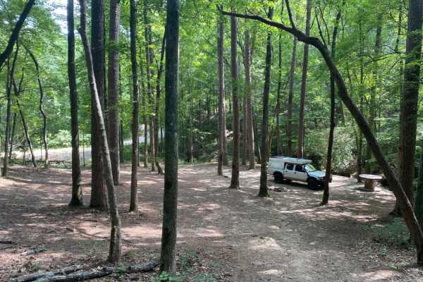
Brown Bottom Road
Brown Bottom Road is located in the center of a section of the Chattahoochee National Forest outside of Cornelia, GA. This road is wide, covered in large gravel and wide enough for two vehicles to pass in most sections. However, it's important to remember safe driving practices due to some steep cu...
Learn more about Brown Bottom Road
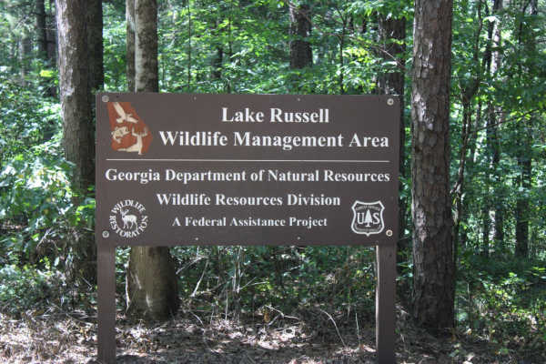
Red Root Road- FS 92
Red Root Road, also known as FSR 92, is a route that traverses the Lake Russel WMA from just outside Toccoa, GA to Mt. Airy, GA. This route can be used to access seasonal routes within the WMA area. Multiple areas can be found for camping, especially along the Middle Fork Broad River. If camping, p...
Learn more about Red Root Road- FS 92
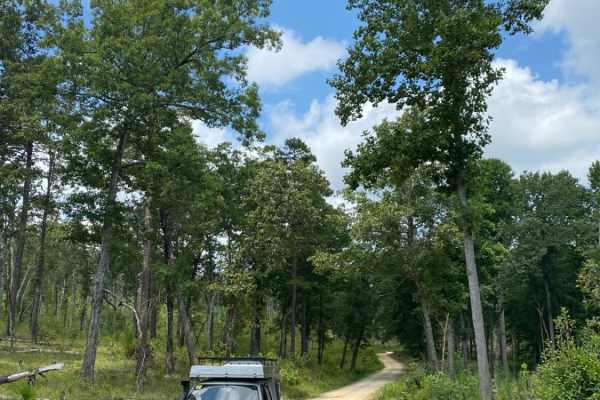
Guard Camp Road
Guard Camp Road is located in the Chattahoochee National Forest near Cornelia, GA. Nearby, you can visit Tallulah Gorge, view the waterfalls, explore downtown Clayton and fish in the numerous waterways. While camping is available throughout the region, this section of national forest seems less trav...
Learn more about Guard Camp Road
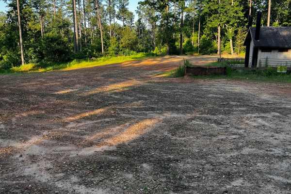
Locust Stake Moon Walk - 148F
Part of the Locust Stake OHV Trail system. This trail begins on the left side of the parking lot as you enter the trailhead. It loops around and back to itself, or near the end, you can turn and continue to the other trails here. This trail has a few moderately difficult rocky hills and one large ro...
Learn more about Locust Stake Moon Walk - 148F
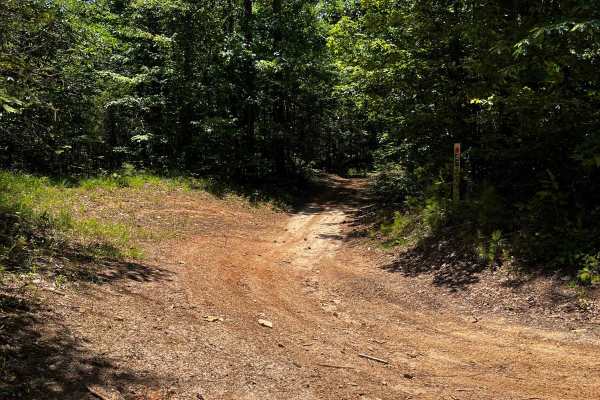
Locust Stake Ranger Run - 148
Part of the Locust Stake OHV system. The trail is for ATVs and Dirt Bikes. The trail is moderate to easy, clay hard base. The trail is 2-way, so be cautious and stay to the right. First trail to the right, leaving the trailhead staging area.
Learn more about Locust Stake Ranger Run - 148
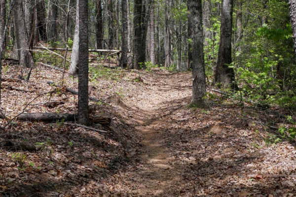
Peggy Creek Connector H
This short, directional connector trail runs north to south and closely mirrors the terrain and features of Trail J. It serves as a mileage-saving shortcut, bypassing a portion of the main J loop. The trail winds gently through the forest with lots of leaf cover, small roots, and easy curves, though...
Learn more about Peggy Creek Connector H
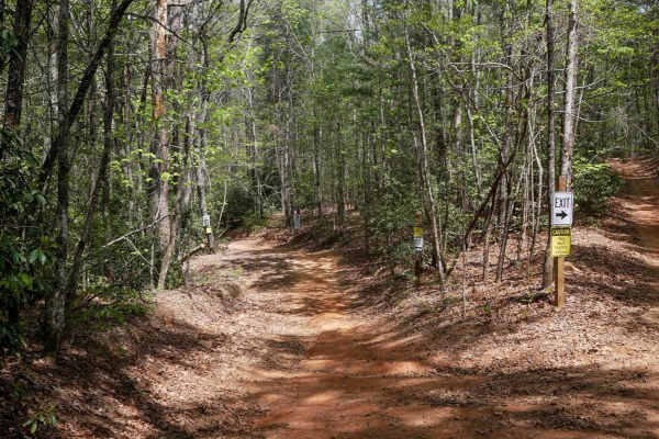
Hightower Loop Connector Trail D
Trail D is a 1.3-mile two-way access route that connects the main ATV Trail 192 to the more challenging trails C and E on the western side of the trail system. Beginning at its southern junction with 192, the trail is wide with gently curving sections--some of which are blind corners, but designed t...
Learn more about Hightower Loop Connector Trail D
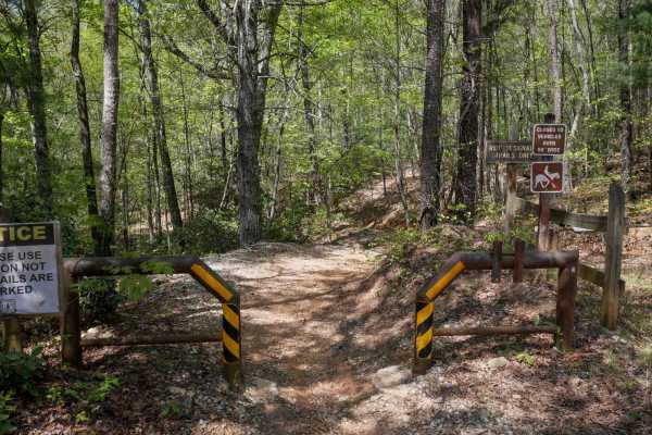
Parking Lot Trail 192
ATV Trail 192 serves as the main two-way corridor providing access from the parking area to the southern entry point of Trail D. It begins at a 50-inch pinch point and is designated for ATV/dirt bike use only--horses are not permitted. The trail is relatively wide to accommodate two-way traffic and ...
Learn more about Parking Lot Trail 192
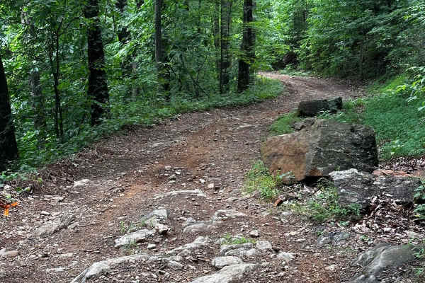
Horseshoe Ridge
This trail begins at the jackknife section at 34.64547, -84.03388, where Blue Ridge transitions onto Horseshoe Ridge. This trail welcomes more intermediate technical off-roaders. While it offers a fun adventure, you will encounter deeper ruts along the narrow road, larger rocks, and potentially down...
Learn more about Horseshoe Ridge
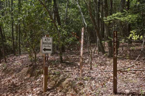
Sally Free Trail J
Trail J is a two-mile, directional ATV loop ridden clockwise, offering an easy and enjoyable ride through forested terrain. The trail features gentle rollers, minor ruts, roots, and rocks, with occasional springtime mud puddles. Riders will encounter a few tighter turns, including one notable switch...
Learn more about Sally Free Trail J
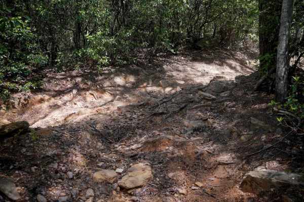
Ridge Top Trail C
Ridge Top is a short but technical half-mile segment running directionally south to north between Trails D and B. Considered one of the more challenging trails in the system, it features several embedded rock obstacles--ramped, foot-and-a-half-high boulders--that require riding up their faces. While...
Learn more about Ridge Top Trail C
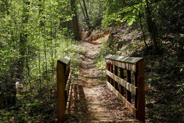
Double Bridges Trail F
This dirt bike-only trail starts at a pinch point off of the main ATV corridor 192, and is one-way directional north-to-south. It flows through mellow forested terrain, following the natural curvature of the mountain, featuring mild exposure and moderate technical elements such as small roots and ro...
Learn more about Double Bridges Trail F
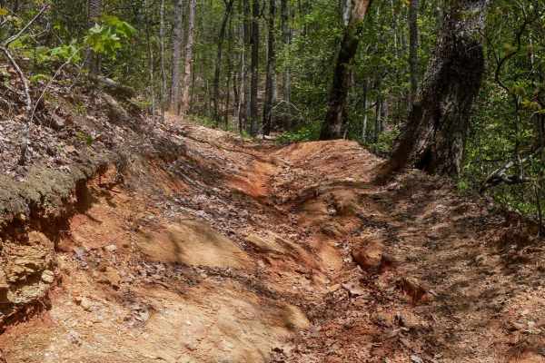
Whoop De Dos
This directional trail runs south to north in a clockwise loop and is one of the more challenging routes in the system. It opens with a sharp switchback featuring rocks and roots on the inside line, then continues climbing with additional embedded rock sections. After passing the intersection with t...
Learn more about Whoop De Dos
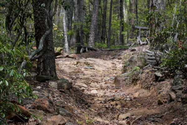
Copperhead Trail B
Trail B is a one-way, southwest-to-northeast ATV trail that provides an easier alternative to the more technical parallel trail Whoop De Dos. It features sharp corners and a shelf-like traverse along the edge of the hillside, with moderate width and a surface often obscured by heavy leaf cover, but ...
Learn more about Copperhead Trail B
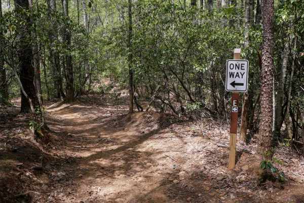
Hightower Loop Trail E
Trail E is a 1.6-mile clockwise ATV loop and one of the longer routes in the area, a great spot to do a couple laps to tack on mileage before your ride is over. Starting at the end of Trail D, it features more pronounced elevation changes, including a mix of steeper climbs and descents, sharper corn...
Learn more about Hightower Loop Trail E
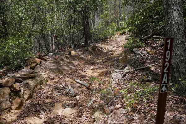
Rattlesnake Trail A
Trail A is a directional connector running south to north, known for its consistent and steep ascent. The southern entrance is the most technical section, featuring loose rocks, roots, and embedded rock that challenge traction early on. The narrow path climbs steeply, weaving through trees and remai...
Learn more about Rattlesnake Trail A
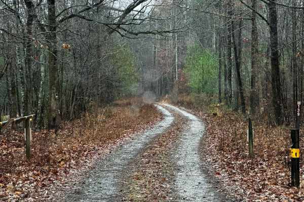
Black Mountain Road - FSR 139
Black Mountain Road is an out-and-back trail that gets you near the top of Black Mountain (1509ft). This route has a special designation and is only open from 8/30-1/9. This area is used for hunting, so be sure to be aware of your surroundings, and if you get out to hike to the top of the mountain, ...
Learn more about Black Mountain Road - FSR 139
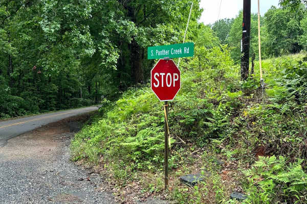
South Panther Creek Road (FSR 220)
FSR 220 is an out-and-back ride that starts at the junction of Black Mountain Road and South Panther Creek Road. You will turn left onto South Panther Creek Road. The end of the road is also accessible for a few houses, so pay close attention to the trail to avoid entering private property. The over...
Learn more about South Panther Creek Road (FSR 220)
ATV trails near Pendergrass, Georgia
Explore ATV-friendly trails near you. These trails are accessible for vehicles up to 50 inches wide, perfect for ATVs and smaller off-road machines.
Beaver Swamp Trail
This scenic 2.6-mile, single-lane out-and-back trail winds through steep slopes, winding turns, and rolling dips, offering occasional passing areas, dispersed campsites, and short exploratory spurs. The route passes through private property boundaries and ends near a gated private property boundary ...
Learn more about Beaver Swamp Trail
Georgia Mountain Orchard
Georgia Mountain Orchard Road is an easy route into the Lake Russel WMA. This route begins just outside of Cornelia, Georgia. This road can be driven in 2WD and is a relaxing trek overall. Driving south, you will encounter Austin Cemetery on the left. It is easy to pass if you are not looking for it...
Learn more about Georgia Mountain Orchard
Brown Bottom Road
Brown Bottom Road is located in the center of a section of the Chattahoochee National Forest outside of Cornelia, GA. This road is wide, covered in large gravel and wide enough for two vehicles to pass in most sections. However, it's important to remember safe driving practices due to some steep cu...
Learn more about Brown Bottom Road
Red Root Road- FS 92
Red Root Road, also known as FSR 92, is a route that traverses the Lake Russel WMA from just outside Toccoa, GA to Mt. Airy, GA. This route can be used to access seasonal routes within the WMA area. Multiple areas can be found for camping, especially along the Middle Fork Broad River. If camping, p...
Learn more about Red Root Road- FS 92
UTV/side-by-side trails near Pendergrass, Georgia
Find UTV and side-by-side trails near you. These trails accommodate vehicles up to 60 inches wide, ideal for UTVs, side-by-sides, and wider off-road rigs.
Beaver Swamp Trail
This scenic 2.6-mile, single-lane out-and-back trail winds through steep slopes, winding turns, and rolling dips, offering occasional passing areas, dispersed campsites, and short exploratory spurs. The route passes through private property boundaries and ends near a gated private property boundary ...
Learn more about Beaver Swamp Trail
Georgia Mountain Orchard
Georgia Mountain Orchard Road is an easy route into the Lake Russel WMA. This route begins just outside of Cornelia, Georgia. This road can be driven in 2WD and is a relaxing trek overall. Driving south, you will encounter Austin Cemetery on the left. It is easy to pass if you are not looking for it...
Learn more about Georgia Mountain Orchard
Brown Bottom Road
Brown Bottom Road is located in the center of a section of the Chattahoochee National Forest outside of Cornelia, GA. This road is wide, covered in large gravel and wide enough for two vehicles to pass in most sections. However, it's important to remember safe driving practices due to some steep cu...
Learn more about Brown Bottom Road
Red Root Road- FS 92
Red Root Road, also known as FSR 92, is a route that traverses the Lake Russel WMA from just outside Toccoa, GA to Mt. Airy, GA. This route can be used to access seasonal routes within the WMA area. Multiple areas can be found for camping, especially along the Middle Fork Broad River. If camping, p...
Learn more about Red Root Road- FS 92
The onX Offroad Difference
onX Offroad combines trail photos, descriptions, difficulty ratings, width restrictions, seasonality, and more in a user-friendly interface. Available on all devices, with offline access and full compatibility with CarPlay and Android Auto. Discover what you're missing today!
Open Trail Map