
Dirt Bike Trails
Near Pearcy, Arkansas
Explore All Dirt Bike Trails Near Pearcy, Arkansas
Dirt Bike Trails Near Pearcy, Arkansas
Discover the best dirt bike trails near you. Browse trail maps, check difficulty ratings, and find your next adventure — whether you're looking for a quick ride or an all-day expedition.
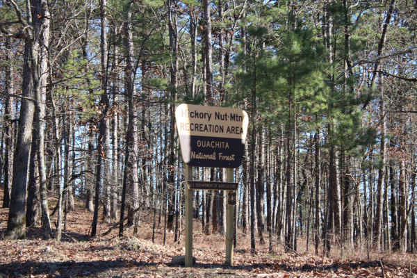
Hickory Nut Mountain
This maintained Gravel road goes up to Hickory Nut Vista Lookout. As you travel to the vista you will pass Hickory Nut Campground on the left side of the road. This is a dispersed campground with a pit toilet, picnic tables, and a fire ring. Awesome views of Lake Ouachita can be seen. This road does...
Learn more about Hickory Nut Mountain
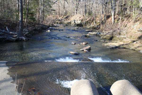
Pipe Spring
This road leaves Hickory Nut Road at the west end and the east end stops at Crystal Springs Resort entrance. Across the main road is a public boat ramp with restrooms and great views of Lake Ouachita. There are nice dispersed campsites along this road. Awesome creek-side camping and group-sized disp...
Learn more about Pipe Spring
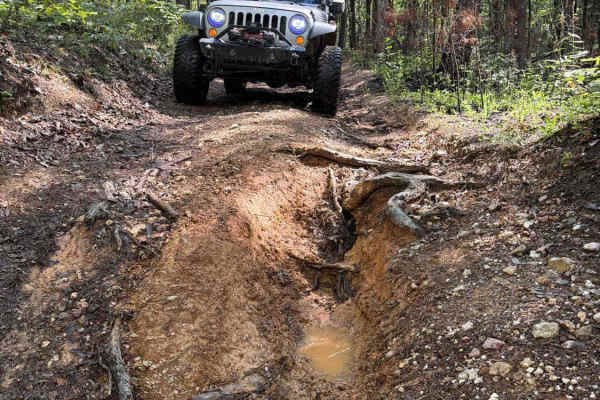
Lake Point Trail
This is a dirt 2-track that has it all. Deep mud holes, deep washes, slick clay hill climbs and descents, lake views, and an amazing lakeside campsite at the end. A high clearance 4x4 with 4 low is preferred, and pin strips are possible. The worst washout does have a bypass, but most of the deep mud...
Learn more about Lake Point Trail
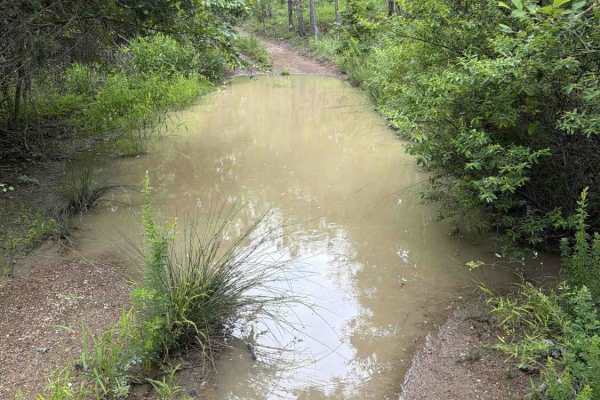
North Shore Road - FS 7492
The trail starts as a gravel road but turns to a dirt 2-track after about half a mile. It winds through the forest, showcasing the beauty of the Ouachita National Forest. You will have several mud holes to cross that can be easily navigated by any high-clearance 4x4. As you pass the tip of a cove, t...
Learn more about North Shore Road - FS 7492
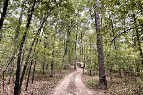
J18 Quartz Canyon
Quartz Canyon is a RETIRED Jeep Bage of Honor Trail. Embark on an action-packed and challenging nearly 2-mile loop trail, Quartz Canyon, starting and ending at Jim's Overlook in Hot Springs Off-Road Park. The trail, requiring tires of at least 32 inches and an aggressive tread, recommends a locking ...
Learn more about J18 Quartz Canyon
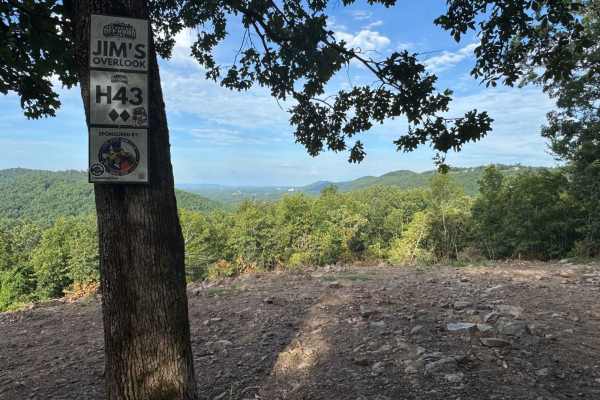
H43 Jim's Overlook
H43 Jim's Overlook is a 2-Diamond overlook trail located on the 400-Side of Hot Springs Off-Road Park. It's accessible via K6 Jaag'd Edge, H42, and Quartz Canyon, making it a popular destination for drivers exploring the upper trails of the Park. The overlook offers one of the most expansive panoram...
Learn more about H43 Jim's Overlook
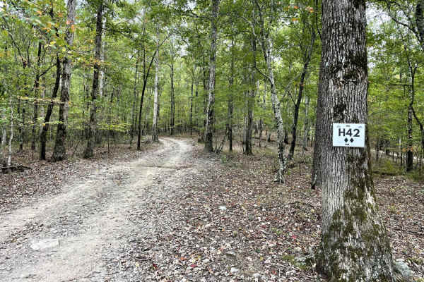
H42 Parker Lane
This is one of two main trails on the west side of the park. It is a great starting point to connect to more challenging trails. The trail is well maintained and consists of small to medium loose rock and hard-pack sections. Don't miss stopping at Papa's Pointe Overlook for a break with a great view...
Learn more about H42 Parker Lane
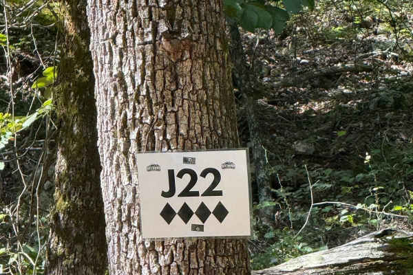
J22
J22 is a fun short trail that can be accessed from J14/J26 end points as well as H42 Parkers Lane. This trail is full of steep grades, Sharp rocks, both large and small. Some off-camber sections and walls could cause body damage to your vehicle. A Park Day-Use Trail Pass is required to access this s...
Learn more about J22
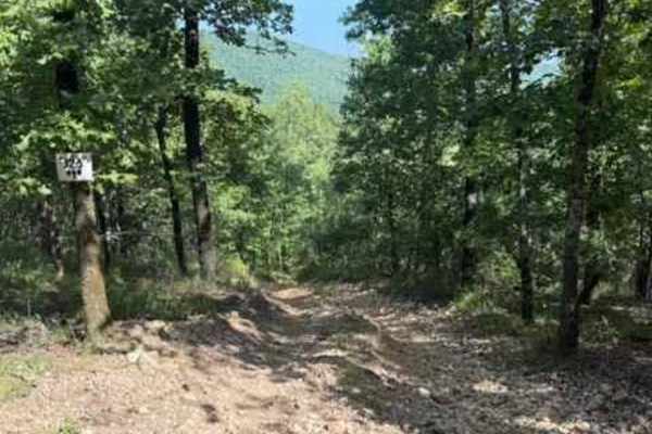
J26
J26 is a fun short trail that connects you to J14, J23, and J21. J26 is a short but fun trail, including a steep grade with loose rocks, both large and small, and some off-camber sections. This trail also has some walls that could cause some body damage if not careful. A Park Day-Use Trail Pass is r...
Learn more about J26
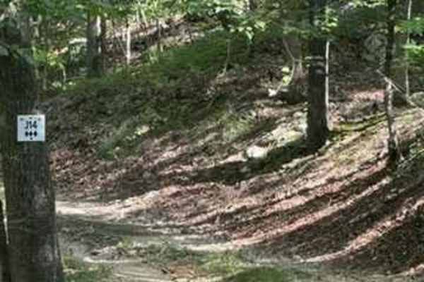
J14
J14 is a change of pace for the trails in this area. J14 is an easier "smooth like" trail that connects multiple trails. You can access J20, J21, J23, J26, J22, and J8 from J14. This trail has some small loose rocks but remains relatively flat. A Park Day-Use Trail Pass is required to access this sy...
Learn more about J14
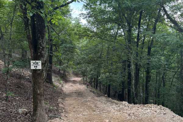
H28 Nate's Journey
H28 Nate’s Journey is a 2-Diamond, two-way connector trail on the 400-Side of Hot Springs Off-Road Park. Though short—just 0.1 miles—this trail plays an important role in connecting H5 to H1, H30, and H31, helping drivers link several key routes across the upper part of the Park. The trail is heavil...
Learn more about H28 Nate's Journey
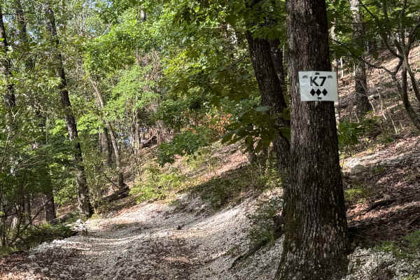
K7
K7 is a 3-Diamond, one-way connector trail on the 400-Side of Hot Springs Off-Road Park. It links H5 to K5, making it a convenient route for navigating the upper section of the Park's network. The trail is wooded and shaded, with a surface of loose gravel. While it’s straight across in layout, at th...
Learn more about K7
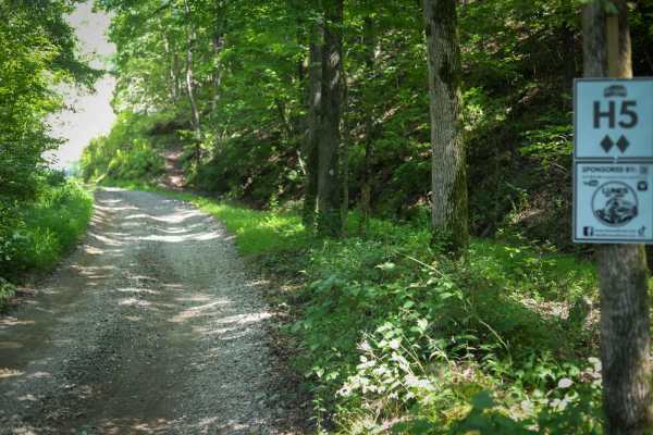
H5
This is pretty much a connector trail on the other side of Mill Creek. You run directly into it and it has many level off-shoots for the adventurer. You can run it to the top and hang right to run L4 (4 diamond) or turn left and follow it to the end to run J18 (Quartz Canyon).
Learn more about H5
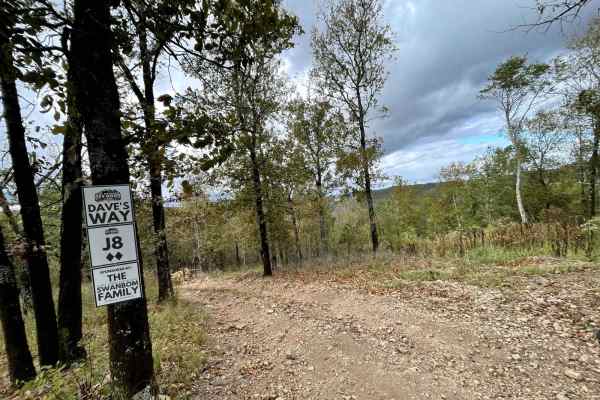
J8 Dave's Way
This is a short and easy trail that consists of small to medium loose gravel and hard-pack sections. This trail can be used to bypass or connect to more challenging trails J15 King Cobra and J24. This trail can be accessed by H42 Parker Lane. It also ends and begins on H42 Parker Lane.
Learn more about J8 Dave's Way
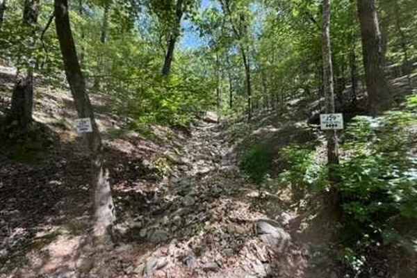
J29 Holtz Hill
J29 Holtz Hill is a steep grade trail full of large and small rocks. There are big drop-offs and ledges with loose rock. This trail connects to J15 King Cobra. This trail also has a bypass option that is still difficult. A Park Day-Use Trail Pass is required to access this system of trails. Cell ser...
Learn more about J29 Holtz Hill
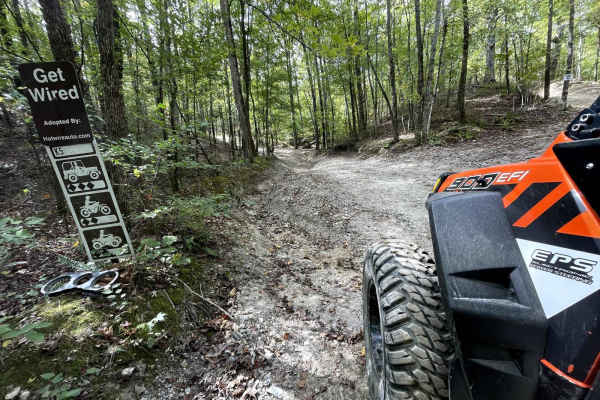
K5 Get Wired
Get Wired is a short and fun trail located in the Hot Springs Off-Road Park. It is one long hill climb. It is about a 500-yard-long with a 250 elevation gain. The first portion is hard-packed dirt with large ruts. Then turns into small loose rocks. There are bypass options around harder obstacles.
Learn more about K5 Get Wired
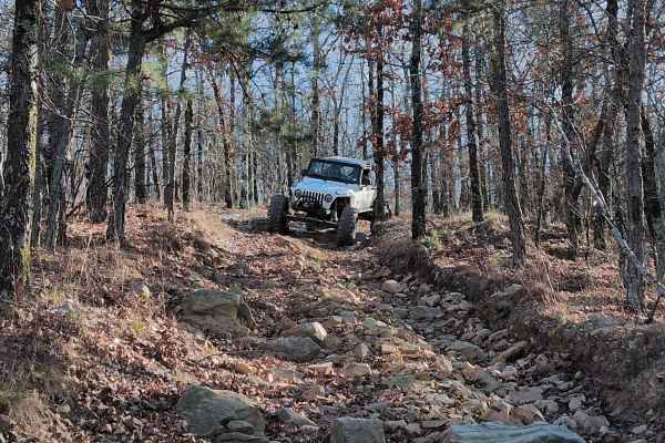
C16
C16 is a one-way steep descent with a few large ledges to drop off. One particular spot is very rough with jagged rocks that can cause issues with vehicle undercarriages. There is also an off-camber turn that will lean your vehicle into a large tree. Body & mechanical damage is a real possibility on...
Learn more about C16
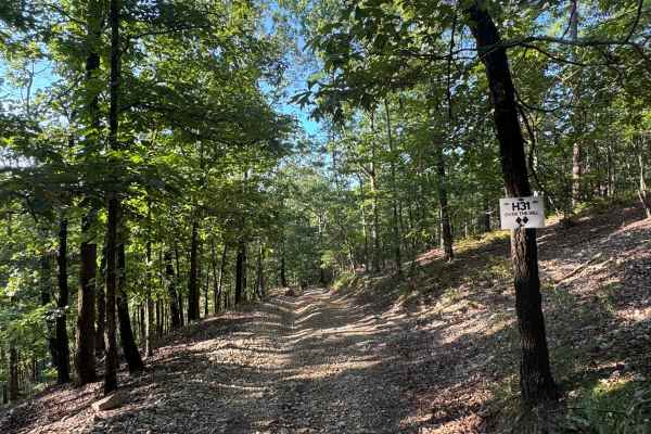
H31 Over the Hill
H31 Over the Hill is a 2-Diamond, two-way connector trail that links the 400-Side’s H-section with L3. It’s rated moderate by the Park and serves as a practical route for navigating between trail networks.
The trail offers beautiful views of the powerline corridor, especially near the crest, where ...
Learn more about H31 Over the Hill

B28
B28 is a dirt trail that runs along the powerlines at the back of the park. There are a couple of hill climbs, one with a small rock ledge, but any vehicle should be able to navigate that very easily. Take Road 2 to Road 3, and B28 will be at the very end on the right. The trail will take you back t...
Learn more about B28
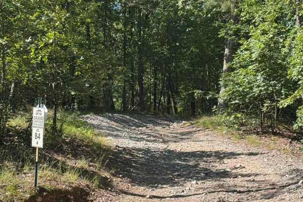
B4 Grand Cherokee Challenge
This is an easy trail that links B28, which is a higher rating, but B28 is also a two-way, so you can also head to AR Highway 2. It has some off-camber sections that can be used to test your suspension. Gravel rocks with small inclines but can easily be done in 4WD.
Learn more about B4 Grand Cherokee Challenge
ATV trails near Pearcy, Arkansas
Explore ATV-friendly trails near you. These trails are accessible for vehicles up to 50 inches wide, perfect for ATVs and smaller off-road machines.
Hickory Nut Mountain
This maintained Gravel road goes up to Hickory Nut Vista Lookout. As you travel to the vista you will pass Hickory Nut Campground on the left side of the road. This is a dispersed campground with a pit toilet, picnic tables, and a fire ring. Awesome views of Lake Ouachita can be seen. This road does...
Learn more about Hickory Nut Mountain
Pipe Spring
This road leaves Hickory Nut Road at the west end and the east end stops at Crystal Springs Resort entrance. Across the main road is a public boat ramp with restrooms and great views of Lake Ouachita. There are nice dispersed campsites along this road. Awesome creek-side camping and group-sized disp...
Learn more about Pipe Spring
Lake Point Trail
This is a dirt 2-track that has it all. Deep mud holes, deep washes, slick clay hill climbs and descents, lake views, and an amazing lakeside campsite at the end. A high clearance 4x4 with 4 low is preferred, and pin strips are possible. The worst washout does have a bypass, but most of the deep mud...
Learn more about Lake Point Trail
North Shore Road - FS 7492
The trail starts as a gravel road but turns to a dirt 2-track after about half a mile. It winds through the forest, showcasing the beauty of the Ouachita National Forest. You will have several mud holes to cross that can be easily navigated by any high-clearance 4x4. As you pass the tip of a cove, t...
Learn more about North Shore Road - FS 7492
UTV/side-by-side trails near Pearcy, Arkansas
Find UTV and side-by-side trails near you. These trails accommodate vehicles up to 60 inches wide, ideal for UTVs, side-by-sides, and wider off-road rigs.
Hickory Nut Mountain
This maintained Gravel road goes up to Hickory Nut Vista Lookout. As you travel to the vista you will pass Hickory Nut Campground on the left side of the road. This is a dispersed campground with a pit toilet, picnic tables, and a fire ring. Awesome views of Lake Ouachita can be seen. This road does...
Learn more about Hickory Nut Mountain
Pipe Spring
This road leaves Hickory Nut Road at the west end and the east end stops at Crystal Springs Resort entrance. Across the main road is a public boat ramp with restrooms and great views of Lake Ouachita. There are nice dispersed campsites along this road. Awesome creek-side camping and group-sized disp...
Learn more about Pipe Spring
Lake Point Trail
This is a dirt 2-track that has it all. Deep mud holes, deep washes, slick clay hill climbs and descents, lake views, and an amazing lakeside campsite at the end. A high clearance 4x4 with 4 low is preferred, and pin strips are possible. The worst washout does have a bypass, but most of the deep mud...
Learn more about Lake Point Trail
North Shore Road - FS 7492
The trail starts as a gravel road but turns to a dirt 2-track after about half a mile. It winds through the forest, showcasing the beauty of the Ouachita National Forest. You will have several mud holes to cross that can be easily navigated by any high-clearance 4x4. As you pass the tip of a cove, t...
Learn more about North Shore Road - FS 7492
The onX Offroad Difference
onX Offroad combines trail photos, descriptions, difficulty ratings, width restrictions, seasonality, and more in a user-friendly interface. Available on all devices, with offline access and full compatibility with CarPlay and Android Auto. Discover what you're missing today!
Open Trail Map