
Dirt Bike Trails
Near Oakley, Wyoming
Explore All Dirt Bike Trails Near Oakley, Wyoming
Dirt Bike Trails Near Oakley, Wyoming
Discover the best dirt bike trails near you. Browse trail maps, check difficulty ratings, and find your next adventure — whether you're looking for a quick ride or an all-day expedition.
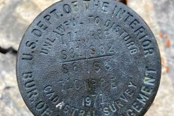
Cross Border Excursion
This trail is a mixture of trail types and views. Start at the top of the Crawford Mountains east of Randolph, and descend from Utah, into Wyoming then follow the border before completing the loop near the starting point of the trail. The trail starts off as a graded dirt trail which evolves into a ...
Learn more about Cross Border Excursion
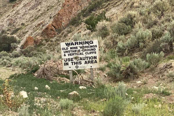
Rex Peak
The route is mapped as an out-and-back trail yet offers numerous side trails for those seeking adventure. It represents the pinnacle of the Crawford Mountains near Randolph, UT, beginning in a deep canyon and culminating at the mountain chain's summit, Rex Peak. There are several closed mines along ...
Learn more about Rex Peak
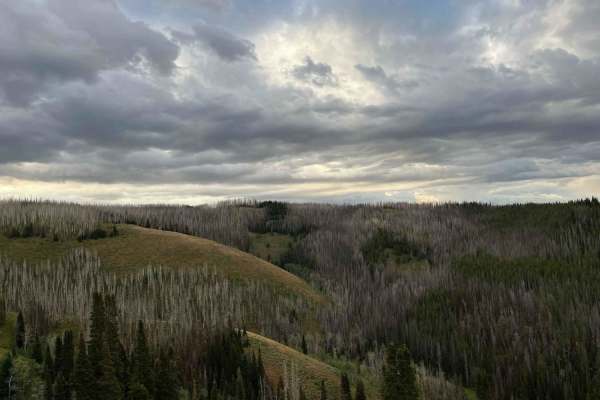
East Fork Ridge
Starting out on a flat dirt road, the route snakes its way up East Fork Ridge. The higher the trail goes, the more narrow and technical it becomes. Near the summit, it enters a burn section where all that stands are the charred statues of a former forest. Taking advantage of the open canopy, a crop ...
Learn more about East Fork Ridge
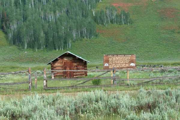
Big Spring Scenic Backway
The Big Spring Scenic Backway offers a splendid tour of western Wyoming's Tunp Range. From west to east, this drive takes you through a scenic valley of ranchland, up and over Commissary Ridge, and through the popular Hams Fork River drainage where there is a historic ranger cabin built in 1914. Fro...
Learn more about Big Spring Scenic Backway
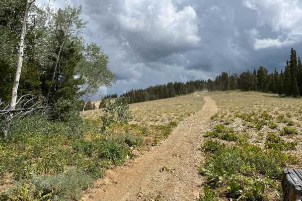
Cheek Clapper
What starts out as a gradual, winding ascent into the trees, finishes off as a rambunctions scramble up a rock field that will have you, as the name implies, clapping your cheeks on your seat as you bounce up the trail. This trail is like a smorgasbord. It has something for everyone. Some parts are ...
Learn more about Cheek Clapper
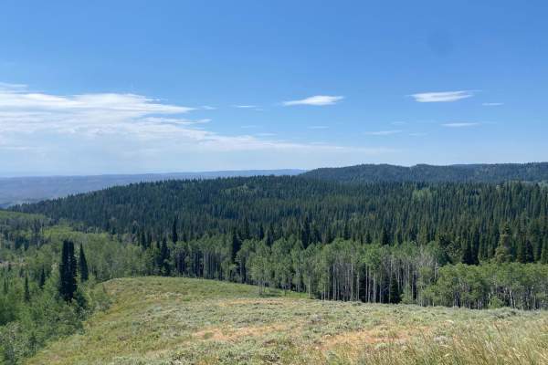
Old Canyon Trail
This trial offers scenic vistas from both the canyon and the summit. There is alternative access to/from Randolph and Little Creek Campground up to the Shoshone trail system and Garden City/Bear Lake areas via connecting trails. The trail ranges from smooth fast graded dirt to rocky/cobble with no r...
Learn more about Old Canyon Trail
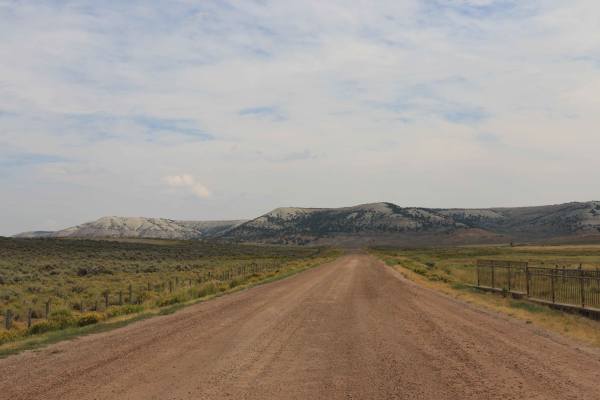
Piedmont Road - CR 173
This graded road is wide enough for two vehicles to pass and smooth enough for passenger cars. It leads to the old townsite of Piedmont, Wyoming, where a few historic buildings remain. Structures on one side of the road are private and closed to the public, while those on the other side are open to ...
Learn more about Piedmont Road - CR 173

East Bear Lake Overlook
This trail offers a fantastic and efficient way to experience the breathtaking vistas of the Utah and Idaho mountain ranges. Beginning at the First Point Boat Ramp parking lot, the trail offers a rugged adventure right from the start. Be aware that during peak seasons, the lot can get crowded with t...
Learn more about East Bear Lake Overlook
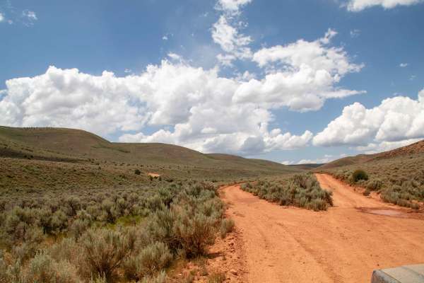
Cutoff Ridge Road (BLM AR13)
This is an out and back trail that splits off of Cutoff Canyon and heads up the hill where it then flattens out and travels across the ridge with views all around. This trail is nice and smooth despite being a little overgrown. The trail dead ends at a gate leading onto private property where you'll...
Learn more about Cutoff Ridge Road (BLM AR13)
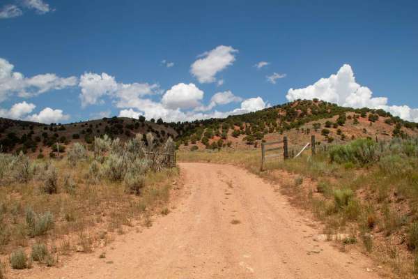
Cutoff Canyon - BLM AR11
This is an easy well well-maintained trail that heads up the canyon from Highway 39 through Cutoff Canyon until it reaches a gate to private Property. This trail is highly scenic with the canyon being wide and open with steeper walls with red rock outcroppings. This road stays 2 vehicles wide as it ...
Learn more about Cutoff Canyon - BLM AR11
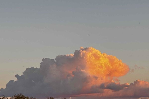
57 Route - Willow Creek
This is a Wyoming dirt trail that winds through BLM land and National Forest. Beginning with smooth dirt roads, the trail gradually transitions into challenging sections with deep ruts and rocky paths, making for a rough ride. The trail can become impassable when muddy and wet. Along the way, you mi...
Learn more about 57 Route - Willow Creek
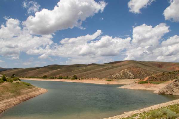
Birch Creek Reservoirs
This trail is a short well well-maintained road that travels off of Highway 39 for about a mile, where it ends in a parking lot at the base of Birch Creek Reservoir Dam. The gravel road is 2 vehicles wide and well-maintained, so most vehicles will be able to travel this road without any issues. As y...
Learn more about Birch Creek Reservoirs
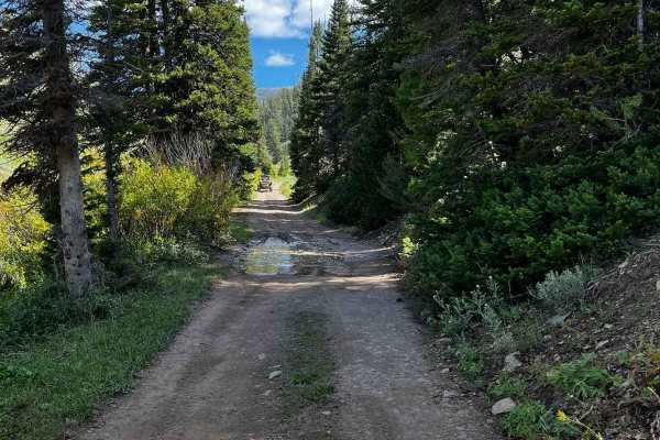
Big Fall Creek
This is a relatively short trail but it makes up for its brevity with a stunning shift in scenery the entire length of the route. From where it begins in grassy, sage terrain, it pops up next to Fall Creek and transitions to willows and aspens. There are several locations to pull off and enjoy lunch...
Learn more about Big Fall Creek
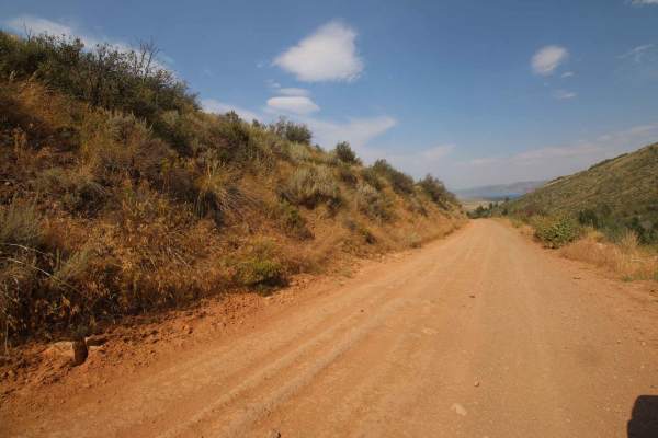
Temple Canyon
Depending on the direction of travel, this trail travels from the town of Meadowville, near Bear Lake, into Cache National Forest, or it travels from Cache National Forest to Meadowville. It is an easy drive to get from the forest down to the south end of Bear Lake and back again. Nothing technical ...
Learn more about Temple Canyon
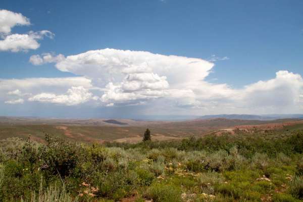
Lewis Ridge Road
This trail runs between Highway 39 and the end of Millie Springs Road by following Lewis Ridge. As the trail follows the ridge, it has sweeping views of the surrounding landscape, and in some sections, you can see down into Randolph and Woodruff. This trail is well maintained but can have muddy cond...
Learn more about Lewis Ridge Road
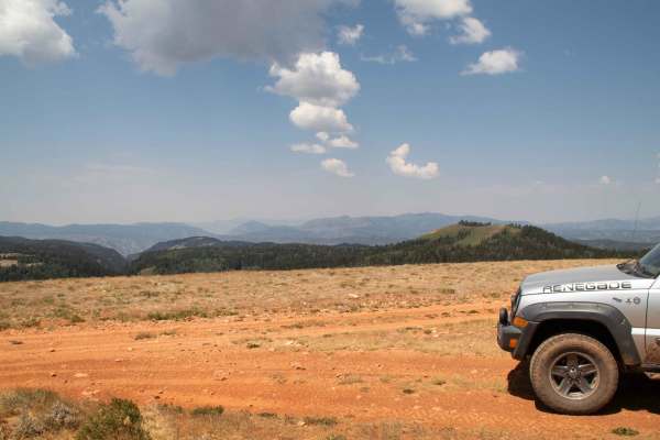
Red Spur
This forest service road takes you up a short road to the top of Red Spur Mountain and has signs at the turnoff from Old Canyon Trail. The road starts off with some small rocks and ruts that any vehicle with decent ground clearance can handle without needing a 4x4. After that initial rough part, you...
Learn more about Red Spur
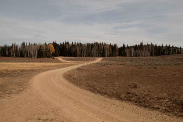
Curtis Creek Road (FR059)
This well-maintained graded road runs from Highway 39 to Old Canyon and Curtis Creek Guard Station. From the end of the road, you can either go back the way you came or go down the mountain differently. There is tons of dispersed camping throughout the road as it winds through the forest and clearin...
Learn more about Curtis Creek Road (FR059)
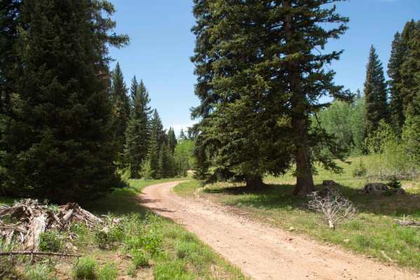
Running Water Spring Road
This is a scenic road that travels between Curtis Creek Road and 6 Bit Springs Road. There are no major obstacles on this road other than some small ruts and rocks. The trail starts by winding through some small hills before changing scenery and traveling through forests and small meadows. The trail...
Learn more about Running Water Spring Road
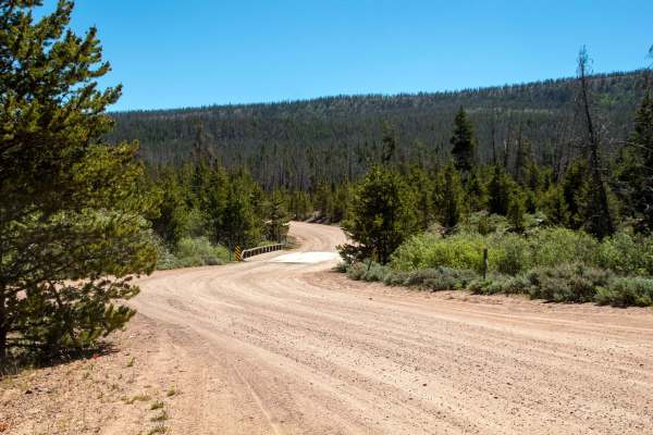
China Meadows
China Meadows (FS 80072) is a scenic, easy-rated off-road route deep in Utah’s Wasatch National Forest, ideal for overlanders, families, and beginners looking for a peaceful high-country escape. This mellow trail leads into the heart of the Evanston-Mountain View Ranger District, ending at the China...
Learn more about China Meadows

Smiths Fork
This trail follows the Smiths Fork River. There are locations for camping and fishing along the way. There is also private property along the way, so be aware of your location. The trail is fairly well maintained. There are spots of washboards and other hazards. The roads can be fairly dusty due to ...
Learn more about Smiths Fork
ATV trails near Oakley, Wyoming
Explore ATV-friendly trails near you. These trails are accessible for vehicles up to 50 inches wide, perfect for ATVs and smaller off-road machines.
Cross Border Excursion
This trail is a mixture of trail types and views. Start at the top of the Crawford Mountains east of Randolph, and descend from Utah, into Wyoming then follow the border before completing the loop near the starting point of the trail. The trail starts off as a graded dirt trail which evolves into a ...
Learn more about Cross Border Excursion
Rex Peak
The route is mapped as an out-and-back trail yet offers numerous side trails for those seeking adventure. It represents the pinnacle of the Crawford Mountains near Randolph, UT, beginning in a deep canyon and culminating at the mountain chain's summit, Rex Peak. There are several closed mines along ...
Learn more about Rex Peak
East Fork Ridge
Starting out on a flat dirt road, the route snakes its way up East Fork Ridge. The higher the trail goes, the more narrow and technical it becomes. Near the summit, it enters a burn section where all that stands are the charred statues of a former forest. Taking advantage of the open canopy, a crop ...
Learn more about East Fork Ridge
Big Spring Scenic Backway
The Big Spring Scenic Backway offers a splendid tour of western Wyoming's Tunp Range. From west to east, this drive takes you through a scenic valley of ranchland, up and over Commissary Ridge, and through the popular Hams Fork River drainage where there is a historic ranger cabin built in 1914. Fro...
Learn more about Big Spring Scenic Backway
UTV/side-by-side trails near Oakley, Wyoming
Find UTV and side-by-side trails near you. These trails accommodate vehicles up to 60 inches wide, ideal for UTVs, side-by-sides, and wider off-road rigs.
Cross Border Excursion
This trail is a mixture of trail types and views. Start at the top of the Crawford Mountains east of Randolph, and descend from Utah, into Wyoming then follow the border before completing the loop near the starting point of the trail. The trail starts off as a graded dirt trail which evolves into a ...
Learn more about Cross Border Excursion
Rex Peak
The route is mapped as an out-and-back trail yet offers numerous side trails for those seeking adventure. It represents the pinnacle of the Crawford Mountains near Randolph, UT, beginning in a deep canyon and culminating at the mountain chain's summit, Rex Peak. There are several closed mines along ...
Learn more about Rex Peak
East Fork Ridge
Starting out on a flat dirt road, the route snakes its way up East Fork Ridge. The higher the trail goes, the more narrow and technical it becomes. Near the summit, it enters a burn section where all that stands are the charred statues of a former forest. Taking advantage of the open canopy, a crop ...
Learn more about East Fork Ridge
Big Spring Scenic Backway
The Big Spring Scenic Backway offers a splendid tour of western Wyoming's Tunp Range. From west to east, this drive takes you through a scenic valley of ranchland, up and over Commissary Ridge, and through the popular Hams Fork River drainage where there is a historic ranger cabin built in 1914. Fro...
Learn more about Big Spring Scenic Backway
The onX Offroad Difference
onX Offroad combines trail photos, descriptions, difficulty ratings, width restrictions, seasonality, and more in a user-friendly interface. Available on all devices, with offline access and full compatibility with CarPlay and Android Auto. Discover what you're missing today!
Open Trail Map