
Dirt Bike Trails
Near Norfork, Arkansas
Explore All Dirt Bike Trails Near Norfork, Arkansas
Dirt Bike Trails Near Norfork, Arkansas
Discover the best dirt bike trails near you. Browse trail maps, check difficulty ratings, and find your next adventure — whether you're looking for a quick ride or an all-day expedition.
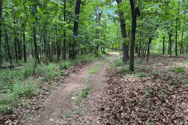
91017B
This route begins with direct access off Highway 341 and quickly transitions into a lightly maintained forest trail winding through dense pine and hardwood forest. Along the route, drivers will pass through open grassy meadows before re-entering tighter wooded sections with narrow corridors and over...
Learn more about 91017B
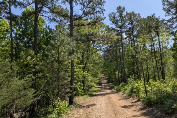
Merrill Ridge
This narrow trail features a grassy center and winds gently through a beautiful forest landscape. While mostly smooth, it does have some bumpy sections that require attention. Numerous offshoots and smaller trails invite further exploration, and the area appears to be a popular spot for local hunter...
Learn more about Merrill Ridge
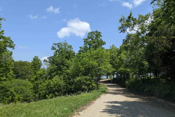
County Road 74
This trail offers both scenic beauty and a sense of historical significance as it climbs to the top of the mountain, where expansive views of the valley below reward the effort. Once an important route for the local community, it still passes numerous private properties, with old homesteads, derelic...
Learn more about County Road 74
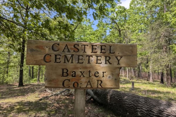
Casteel Road
This off-road trail is ideal for adventurers seeking dispersed camping opportunities, featuring a tight, winding route that remains accessible even as it branches into numerous side trails best explored by compact vehicles or side-by-sides. The trail follows along a scenic ridge and offers a predomi...
Learn more about Casteel Road
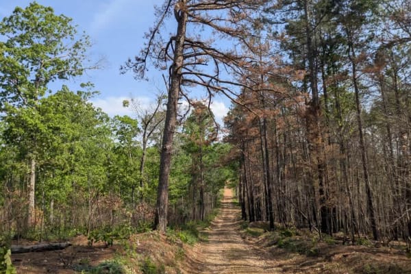
Barkshed Road
This trail offers a rewarding experience for those seeking both adventure and some of the best dispersed camping in this part of the Ozarks. It begins as a wide, smooth, and well-maintained road, but once past the trailhead, the terrain quickly becomes more challenging and engaging. Drivers will enc...
Learn more about Barkshed Road
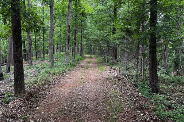
Cap Fork
This route is one of the easier and more maintained trails in the area, making it a good option for stock high-clearance 4WD vehicles or newer off-roaders looking for a relaxed forest drive. The route winds through dense hardwood and pine forest with a mix of gravel, packed dirt, and light rock scat...
Learn more about Cap Fork

91079B
This route travels through a dense forest filled with tall hardwoods and pines, creating a quiet and enclosed feel for most of the drive. The trail itself is narrow with a gravel base and only wide enough for a single vehicle in many sections. While there are very few technical obstacles, there are ...
Learn more about 91079B
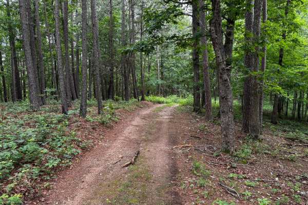
Ashley
This route quickly separates itself from the easier forest roads in the area by introducing more technical terrain, tighter conditions, and multiple off-camber obstacles. The route narrows down to essentially one vehicle width as it winds through dense hardwood and pine forest, leaving very few oppo...
Learn more about Ashley
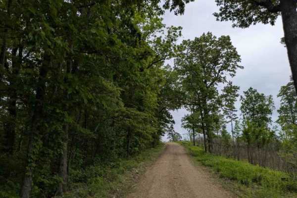
1119
Trail 1119 is a narrow, winding route that is well maintained but features frequent bumps, rocky sections, and visible storm damage in some areas. The trail includes several steep ascents and descents and appears to be a popular area for hunters. Dispersed campsites are available along the way, with...
Learn more about 1119
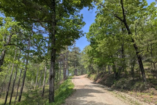
1101 Road
This long and winding trail travels through scenic forests and passes by private lands, including several well-kept homesteads situated near the midpoint. Although the route consists primarily of maintained gravel, drivers should expect some rougher areas featuring bumps, rocks, muddy sections, and ...
Learn more about 1101 Road
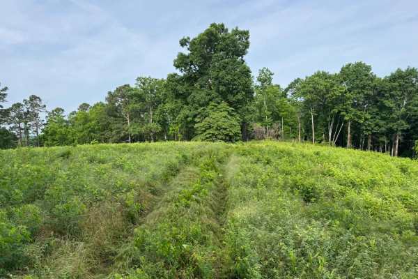
91033C
This is an easy out-and-back forest route that can also be used to access sections of the Ozark Highlands Hiking Trail. The trail winds through dense hardwood forest, narrow tree-lined corridors, and a few open grassy clearings that provide brief views before the route disappears back into the timbe...
Learn more about 91033C

FSR 91033C
This trail is fairly simple overall and makes for an easy scenic drive through the forest. The route winds through a mix of dense woods and open grassy clearings, with stretches of narrow two-track cutting between tall trees and thick green undergrowth. In several areas, the trail becomes tighter wi...
Learn more about FSR 91033C
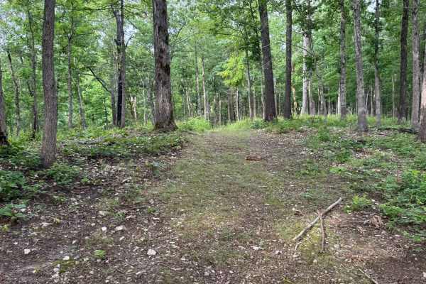
91033E
This trail is fairly simple overall and makes for an easy scenic drive through the forest. The route winds through a mix of dense woods and open grassy clearings, with stretches of narrow two-track cutting between tall trees and thick green undergrowth. In several areas, the trail becomes tighter wi...
Learn more about 91033E
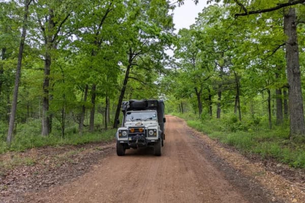
1112
This narrow, shaded trail offers a scenic drive past a beautiful homestead, creating a peaceful and picturesque atmosphere. The trail surface is bumpy, rocky, and corrugated in sections, with visible signs of recent storm damage. Despite the rough conditions, it is a rewarding and worthwhile route t...
Learn more about 1112
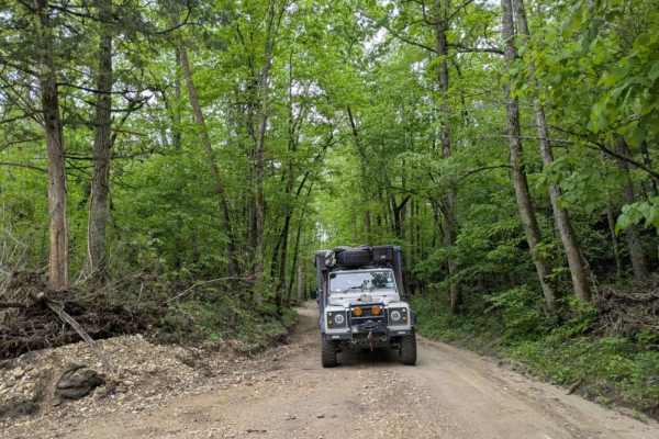
Tie Ridge Road
The Barkshed Recreation Area along this trail appears best suited for day use, with opportunities for swimming and hiking, although overnight camping may be possible despite the uneven ground. Storm damage has heavily impacted the trail leading away from the recreation area, with deep ruts carved in...
Learn more about Tie Ridge Road
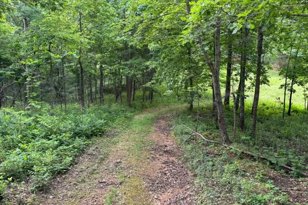
Wallis
This out-and-back trail is narrow and only wide enough for a single vehicle in most areas, making passing difficult if another group is encountered. The route winds through a quiet forest filled with tall hardwoods, scattered pines, and thick green undergrowth, with several sections opening briefly ...
Learn more about Wallis
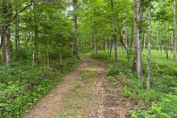
Wallis
This out-and-back trail is narrow and only wide enough for a single vehicle in most areas, making passing difficult if another group is encountered. The route winds through a quiet forest filled with tall hardwoods, scattered pines, and thick green undergrowth, with several sections opening briefly ...
Learn more about Wallis
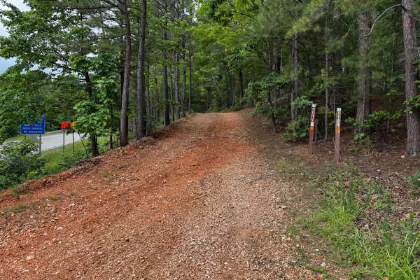
Gibbs
This route offers a more engaging drive than the surrounding maintained county roads, with several features that add a moderate level of technical challenge. The route begins as a fairly smooth gravel path winding through dense hardwood and pine forest, but quickly narrows with heavy vegetation pres...
Learn more about Gibbs
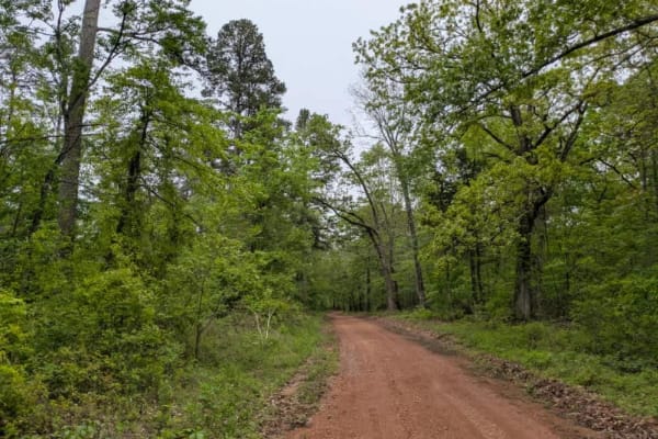
1129a
This maintained trail is bumpy and rocky, descending steeply from the paved road into a valley where a beautiful river flows. Unfortunately, the area has suffered significant storm damage, including a tornado that passed through in late April 2025. The trail passes near several private properties, r...
Learn more about 1129a
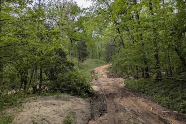
Sandy Flats
Sandy Flats is a maintained trail that shows clear signs of storm damage and features several steep ascents and descents, particularly as the route drops down into a creek. The creek crossing has a muddy bottom and no concrete bridge, which could make it challenging to navigate during or after heavy...
Learn more about Sandy Flats
ATV trails near Norfork, Arkansas
Explore ATV-friendly trails near you. These trails are accessible for vehicles up to 50 inches wide, perfect for ATVs and smaller off-road machines.
91017B
This route begins with direct access off Highway 341 and quickly transitions into a lightly maintained forest trail winding through dense pine and hardwood forest. Along the route, drivers will pass through open grassy meadows before re-entering tighter wooded sections with narrow corridors and over...
Learn more about 91017B
Merrill Ridge
This narrow trail features a grassy center and winds gently through a beautiful forest landscape. While mostly smooth, it does have some bumpy sections that require attention. Numerous offshoots and smaller trails invite further exploration, and the area appears to be a popular spot for local hunter...
Learn more about Merrill Ridge
County Road 74
This trail offers both scenic beauty and a sense of historical significance as it climbs to the top of the mountain, where expansive views of the valley below reward the effort. Once an important route for the local community, it still passes numerous private properties, with old homesteads, derelic...
Learn more about County Road 74
Casteel Road
This off-road trail is ideal for adventurers seeking dispersed camping opportunities, featuring a tight, winding route that remains accessible even as it branches into numerous side trails best explored by compact vehicles or side-by-sides. The trail follows along a scenic ridge and offers a predomi...
Learn more about Casteel Road
UTV/side-by-side trails near Norfork, Arkansas
Find UTV and side-by-side trails near you. These trails accommodate vehicles up to 60 inches wide, ideal for UTVs, side-by-sides, and wider off-road rigs.
91017B
This route begins with direct access off Highway 341 and quickly transitions into a lightly maintained forest trail winding through dense pine and hardwood forest. Along the route, drivers will pass through open grassy meadows before re-entering tighter wooded sections with narrow corridors and over...
Learn more about 91017B
Merrill Ridge
This narrow trail features a grassy center and winds gently through a beautiful forest landscape. While mostly smooth, it does have some bumpy sections that require attention. Numerous offshoots and smaller trails invite further exploration, and the area appears to be a popular spot for local hunter...
Learn more about Merrill Ridge
County Road 74
This trail offers both scenic beauty and a sense of historical significance as it climbs to the top of the mountain, where expansive views of the valley below reward the effort. Once an important route for the local community, it still passes numerous private properties, with old homesteads, derelic...
Learn more about County Road 74
Casteel Road
This off-road trail is ideal for adventurers seeking dispersed camping opportunities, featuring a tight, winding route that remains accessible even as it branches into numerous side trails best explored by compact vehicles or side-by-sides. The trail follows along a scenic ridge and offers a predomi...
Learn more about Casteel Road
The onX Offroad Difference
onX Offroad combines trail photos, descriptions, difficulty ratings, width restrictions, seasonality, and more in a user-friendly interface. Available on all devices, with offline access and full compatibility with CarPlay and Android Auto. Discover what you're missing today!
Open Trail Map