
Dirt Bike Trails
Near Newberg, Oregon
Explore All Dirt Bike Trails Near Newberg, Oregon
Dirt Bike Trails Near Newberg, Oregon
Discover the best dirt bike trails near you. Browse trail maps, check difficulty ratings, and find your next adventure — whether you're looking for a quick ride or an all-day expedition.

Bell Mountain Loop
Right before you head up this loop you will go through an unnamed road. You will go through a big puddle and up a steep, loose hill with water running down one of the rutted sides, up and over a few water bars that you may think twice if you are in a car. But you never know. May also give it a shot ...
Learn more about Bell Mountain Loop
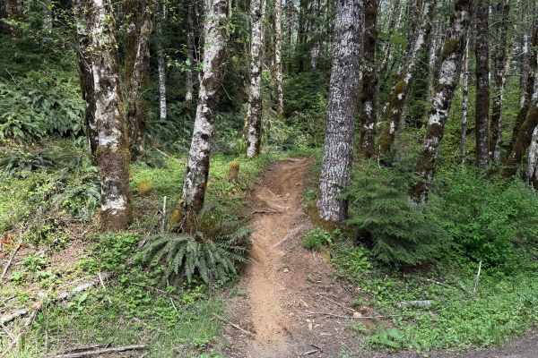
Beaver
Beaver is a 1.3-mile unmarked single-track trail that begins from a light staging area off Ginger Creek. The start features a tight single track with pristine dirt. The trail remains mostly narrow, with a few splits along the way, and conditions can vary over time, including deep ruts and exposed ro...
Learn more about Beaver
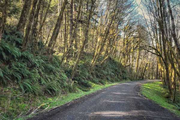
Hoag Pass Road
This gentle, winding gravel road travels through the BLM’s Nestucca River Recreation Area, connecting Bald Mountain Road to Nestucca River Rd. It provides access to numerous ATV trails, so be aware of trail crossings and oncoming traffic. The canopy is predominantly old-growth Douglas Fir, Western ...
Learn more about Hoag Pass Road
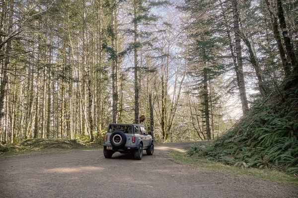
Boundary Road
This gravel route runs through the BLM Nestucca River Recreation Area, connecting Elk Creek Road to Ginger Creek Road, with access to spur roads and pullouts for day-use. The road is generally well-maintained and graded, with compacted gravel, though potholes and seasonal overgrowth, and downed tre...
Learn more about Boundary Road
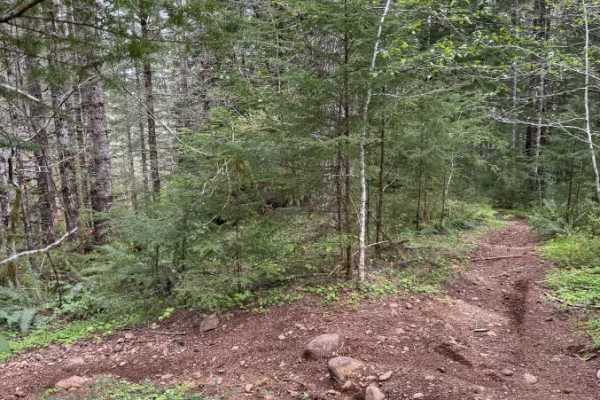
Ginger Creek Access Loop
Ginger Creek Access Loop is a moderately difficult yet rewarding trail packed with tight twists and flowing turns. Beginning off Ginger Creek Road, it winds through towering old-growth forest along narrow single track with excellent traction. Along the route, riders encounter a rocky, technical sect...
Learn more about Ginger Creek Access Loop
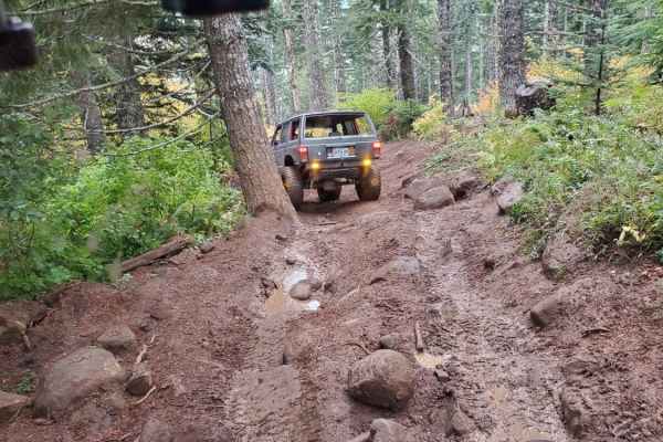
Saddle Up
Most of this trail has been smoothed out to just a dirt road, making it very easy except for a couple of obstacles. One is a pretty tough drop or climb, depending on which direction you choose to run the trail. It is around 10 feet and about a 60-degree angle. It has tree roots, mud, and large rocks...
Learn more about Saddle Up
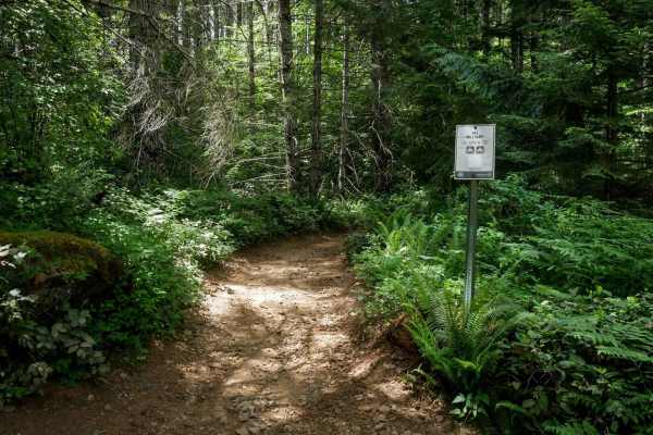
Military #43
Military is a 2-mile graded and maintained trail featuring sections lined with cement pavers and a wide two-track surface through dense forest. Although mostly wide, there are occasional narrow tree pinches where trees closely line the trail. The route is fast and flowy with gentle curves, a few lar...
Learn more about Military #43
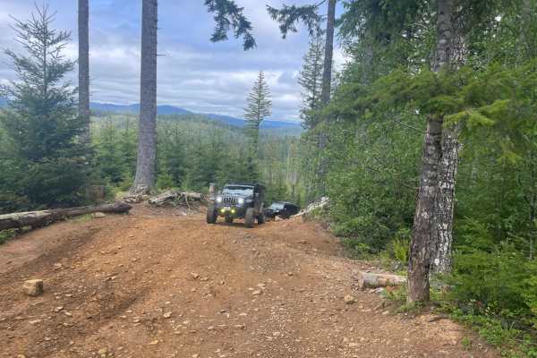
Firebreak 5 Jeep Badge of Honor Trail
The trail is one of 2 Jeep Badge of Honor trails in the Tillamook State Forest (Brown's Camp Area), and is among the most popular routes for off-roaders. The trail is open most of the year, weather and fire permitting. During high fire danger, the park has off hours (morning/evening) or may be close...
Learn more about Firebreak 5 Jeep Badge of Honor Trail
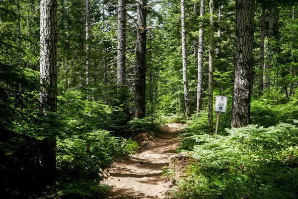
Julies #8
This 2-mile moderate two-track winds through a scenic mossy forest filled with western white pines and dense ferns. The trail surface features small loose rocks and uneven terrain. Riders will encounter a wooden bridge with tall railings crossing a creek, along with wide sweeping curves and pretty e...
Learn more about Julies #8
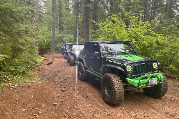
Cedar Tree - Jeep Badge of Honor Trail
Cedar Tree is one of two Jeep Badge of Honor Trails in Tillamook State Forest and in all of Oregon state. The trail is about 4.5 miles long and you should plan to spend about 4 to 4.5 hours to complete it. This trail winds through the incredibly lush Tillamook Forest (some say rainforest). Being a c...
Learn more about Cedar Tree - Jeep Badge of Honor Trail
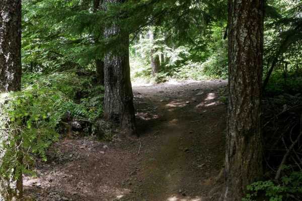
Clydes #7
Clydes is a 2-mile trail featuring an easy two-track route with frequent curves, small loose rocks, and occasional rutted or dug-out sections. The trail winds through a mossy, scenic forest of western white pines, with minor roots, water bars, and gentle, uneven terrain. There are a few straightaway...
Learn more about Clydes #7
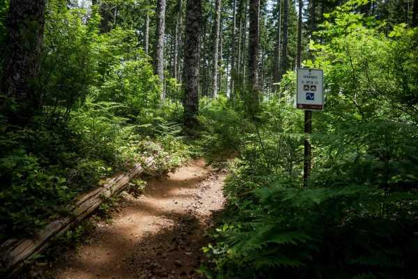
#9 Connector
This connector features a moderate climb from the north end through a fern-covered forest lined with western white pines. The trail surface consists of small loose rocks and occasional shallow ruts. After the initial climb, the trail descends gently along a hillside in a logged area with young pine ...
Learn more about #9 Connector
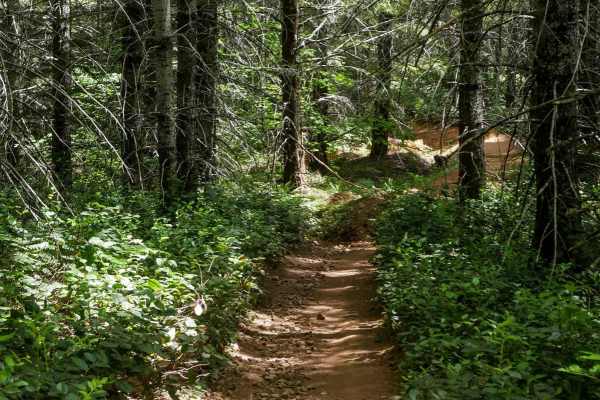
One-Way #98
This is a .8-mile directional loop trail that travels counterclockwise along a scenic forested corridor. This easy two-track is decently wide for ATVs and carved into the mossy Pacific Northwest landscape, with small loose rocks, shallow climbs, and naturally banked corners. Dense bushes and trees l...
Learn more about One-Way #98
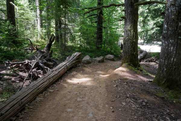
Kids Loop #86
Kids Loop is a short half-mile loop specifically designed for young or beginner riders. The trail is a decently wide ATV track that curves gently between the trees and is sometimes lined with logs as boundaries on the edge of the trail. It's located right next to the staging area, making it convenie...
Learn more about Kids Loop #86
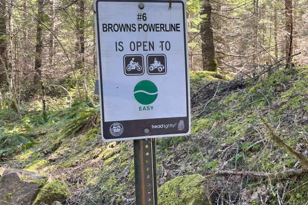
Brown's Powerline Connector
This trail just down from Brown's camp parking area. This is a dirt trail for 50-inch and smaller. It is marked easy level. A 50-inch side by side can get through if you don't have anything sticking out on the sides of vehicle, otherwise 4 wheeler and motorcycle best. It is narrow in some areas and ...
Learn more about Brown's Powerline Connector
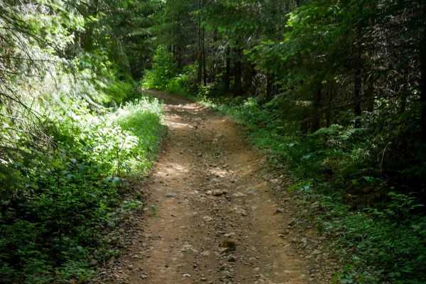
#43 Connector
#43 Connector is a short, less-than-half-mile segment that links Quarry to the main portion of the Military Trail. This easy two-track path features small loose rocks, a fairly flat and gradual grade, and a decently wide corridor suitable for most riders. About halfway through, there's a fun EnduroC...
Learn more about #43 Connector
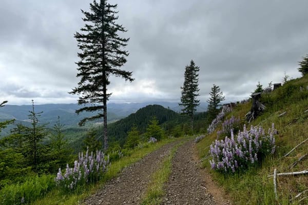
Murphy Guard Station Loop
The route consists of basic logging roads similar to much of the Tillamook State Forest area. There is a modest climb to the viewpoint at approximately 2,500 feet. The viewpoint overlooks the valley of the East Fork/South Fork Trask River area. From the west, the upper route consists of Steamboat Ro...
Learn more about Murphy Guard Station Loop
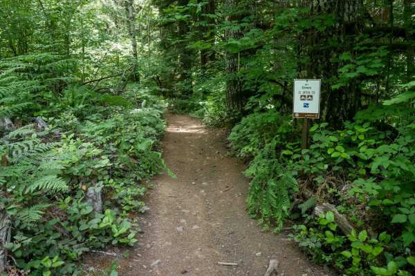
Elmers #11
This 0.8-mile trail is a moderate two-track with more elevation changes and narrow sections. It's an uneven dirt path through dense forest. The route follows the curvature of the hillside with frequent curves and shelfy sections, making it more technical than other nearby ATV trails. Small loose roc...
Learn more about Elmers #11
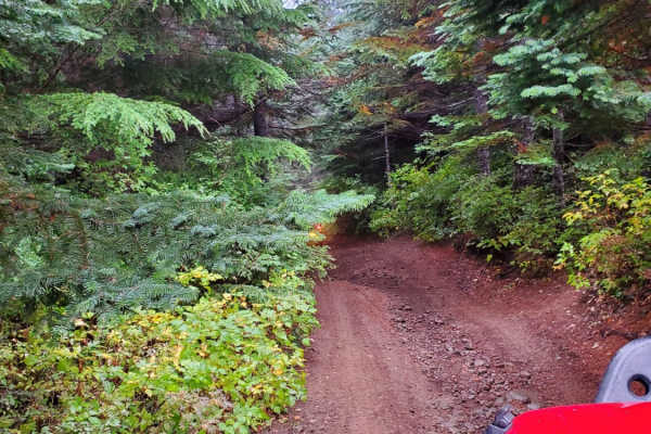
7 Up Ez
This is the easy side of 7 Up. It is fun and not as extreme as the hard side of 7 Up. Winding through the forest, there is a little bit of rutted-out dirt trial, some mud, rock sections, and lots of switchback turns. Lockers are not needed; just about any high clearance 4wd vehicle should be able to...
Learn more about 7 Up Ez
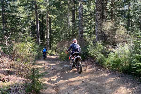
Trail 20 - Hoodraiser
Trail 20 - Hoodraiser is an engaging 2.4-mile point-to-point descent in Oregon's Tillamook State Forest, designed for intermediate offroaders seeking a mix of dense forest scenery and moderate technical challenges. While dirt bikes might find the line relatively straightforward, drivers of full-size...
Learn more about Trail 20 - Hoodraiser
ATV trails near Newberg, Oregon
Explore ATV-friendly trails near you. These trails are accessible for vehicles up to 50 inches wide, perfect for ATVs and smaller off-road machines.
Bell Mountain Loop
Right before you head up this loop you will go through an unnamed road. You will go through a big puddle and up a steep, loose hill with water running down one of the rutted sides, up and over a few water bars that you may think twice if you are in a car. But you never know. May also give it a shot ...
Learn more about Bell Mountain Loop
Hoag Pass Road
This gentle, winding gravel road travels through the BLM’s Nestucca River Recreation Area, connecting Bald Mountain Road to Nestucca River Rd. It provides access to numerous ATV trails, so be aware of trail crossings and oncoming traffic. The canopy is predominantly old-growth Douglas Fir, Western ...
Learn more about Hoag Pass Road
Boundary Road
This gravel route runs through the BLM Nestucca River Recreation Area, connecting Elk Creek Road to Ginger Creek Road, with access to spur roads and pullouts for day-use. The road is generally well-maintained and graded, with compacted gravel, though potholes and seasonal overgrowth, and downed tre...
Learn more about Boundary Road
Saddle Up
Most of this trail has been smoothed out to just a dirt road, making it very easy except for a couple of obstacles. One is a pretty tough drop or climb, depending on which direction you choose to run the trail. It is around 10 feet and about a 60-degree angle. It has tree roots, mud, and large rocks...
Learn more about Saddle Up
UTV/side-by-side trails near Newberg, Oregon
Find UTV and side-by-side trails near you. These trails accommodate vehicles up to 60 inches wide, ideal for UTVs, side-by-sides, and wider off-road rigs.
Hoag Pass Road
This gentle, winding gravel road travels through the BLM’s Nestucca River Recreation Area, connecting Bald Mountain Road to Nestucca River Rd. It provides access to numerous ATV trails, so be aware of trail crossings and oncoming traffic. The canopy is predominantly old-growth Douglas Fir, Western ...
Learn more about Hoag Pass Road
Boundary Road
This gravel route runs through the BLM Nestucca River Recreation Area, connecting Elk Creek Road to Ginger Creek Road, with access to spur roads and pullouts for day-use. The road is generally well-maintained and graded, with compacted gravel, though potholes and seasonal overgrowth, and downed tre...
Learn more about Boundary Road
Saddle Up
Most of this trail has been smoothed out to just a dirt road, making it very easy except for a couple of obstacles. One is a pretty tough drop or climb, depending on which direction you choose to run the trail. It is around 10 feet and about a 60-degree angle. It has tree roots, mud, and large rocks...
Learn more about Saddle Up
Firebreak 5 Jeep Badge of Honor Trail
The trail is one of 2 Jeep Badge of Honor trails in the Tillamook State Forest (Brown's Camp Area), and is among the most popular routes for off-roaders. The trail is open most of the year, weather and fire permitting. During high fire danger, the park has off hours (morning/evening) or may be close...
Learn more about Firebreak 5 Jeep Badge of Honor Trail
The onX Offroad Difference
onX Offroad combines trail photos, descriptions, difficulty ratings, width restrictions, seasonality, and more in a user-friendly interface. Available on all devices, with offline access and full compatibility with CarPlay and Android Auto. Discover what you're missing today!
Open Trail Map