
Dirt Bike Trails
Near Navajo Mountain, Utah
Explore All Dirt Bike Trails Near Navajo Mountain, Utah
Dirt Bike Trails Near Navajo Mountain, Utah
Discover the best dirt bike trails near you. Browse trail maps, check difficulty ratings, and find your next adventure — whether you're looking for a quick ride or an all-day expedition.
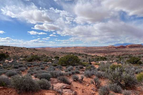
Lookout Point
This trail was most likely a route to get water to livestock. There is a solar-powered pump at the end of the road. It starts with a steep climb that is very off-camber--that is the reason for a higher rating. It follows the plateau with nice views of the surrounding area. If you look carefully, you...
Learn more about Lookout Point
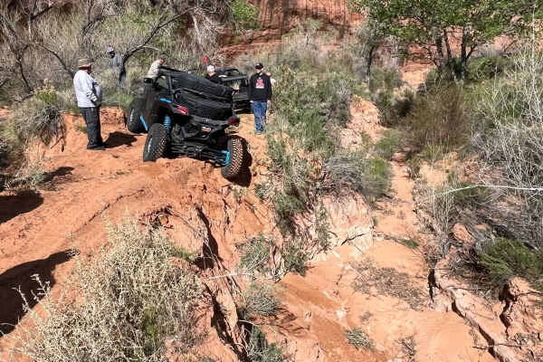
Hole in the Rock
This was part of the original route to the hole in the rock. It was washed out and a new route was created. Fun route to go to where the washout is, with some nice red rock climbs and decent. some sand to deal with and lots of erosion at the end. We were not aware of the washout till we came upon it...
Learn more about Hole in the Rock
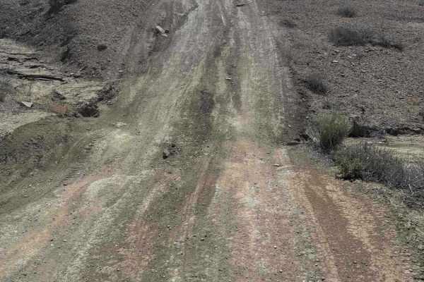
Alstrom Point Trail
Nice Shortcut from the main road with some quick short hills. Expect sharp dips where water has run through and eroded, creating deep, steep ascents and descents. Some are heavily rutted and off-camber in the runoff areas. The trail is short, quick, and fun. Be aware of your speed, as the ditches ca...
Learn more about Alstrom Point Trail
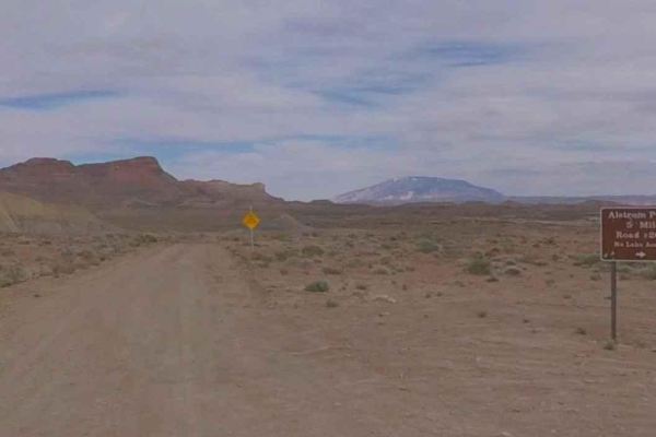
Sit Down Bench Trail BLM 320
Sit Down Bench Trail BLM 320 is a 17.7-mile point-to-point connector trail within the Glen Canyon National Recreation Area. Sit Down Bench connects the Smoky Mountain Road with the south end of Croton Road, creating a loop within the Grand Staircase-Escalante National Monument. Sit Down Bench is a s...
Learn more about Sit Down Bench Trail BLM 320
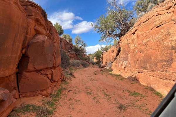
Mule Shoe
Mule Shoe is a sand wash that leads to a narrow canyon. It has a few gates to open and close due to it being in an open range. It's very interesting to see what ranchers use to hold up their solar panels for the water wells throughout the area. This is a fun little in-and-out trail; it probably goes...
Learn more about Mule Shoe
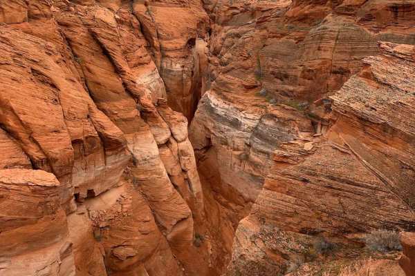
Antelope Slots Overlook
This short trail will take you to an unobstructed cliffside viewpoint of the slots in Antelope Canyon. A view with no other access road and would typically require a guided hiking tour to see from below, it is unrivaled. Just off of another trail, "Lake Powell View Loop", the trail to and from is ju...
Learn more about Antelope Slots Overlook
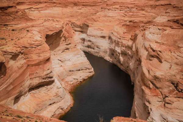
Lake Powell View Loop
This is a fun desert loop in Page, Arizona, that takes you out to a view of Lake Powell. It goes north from the dirt parking lot on Coppermine Road for 2 miles. Going counterclockwise from the south end, go past the RV park, and it's a red sandy track. Part of it is through a sandy wash between two ...
Learn more about Lake Powell View Loop
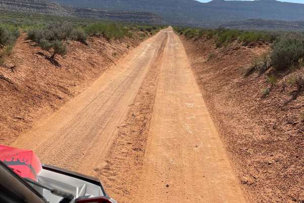
Batty Pass Caves
Batty Pass Caves trail leads to caves carved out of the rock by two brothers, Bill and Cliff Lichtenhahn in the 1950s and 1960s. The trail starts on an old double track through a flat desert and then converts to a single track as it enters the hills. The brothers created table tops checkerboards, an...
Learn more about Batty Pass Caves
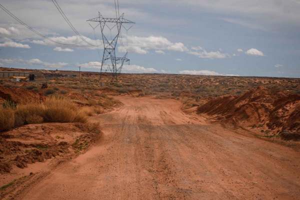
Powerline Perimeter
This is a 4-mile powerline road going along the north and west perimeter of this OHV area on City of Page land. The east end starts from Border Road at the end of the industrial park. The west end is off of Highway 89. It's a fast, straight, and flat powerline road, made of sand with lots of whoops....
Learn more about Powerline Perimeter
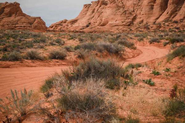
Page Trail
This 1.3-mile-long sand trail goes through City of Page land south of the town of Page, Arizona. It starts and ends off of the powerline road that starts at the entrance to the OHV area, at the end of the industrial complex. It goes through a red sandy desert with red cliffs in the distance. Most of...
Learn more about Page Trail
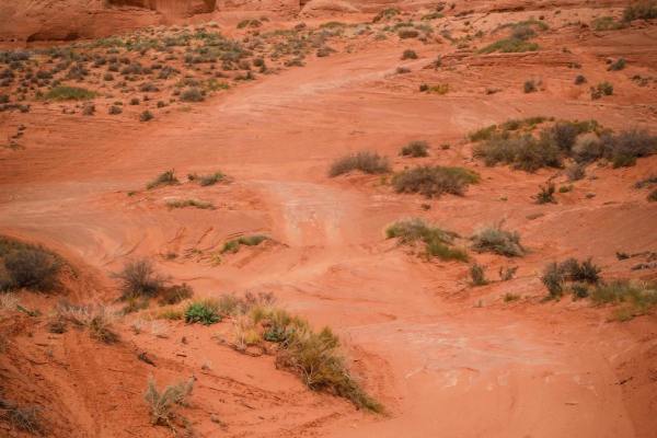
Cave View
This short sandy trail goes through City of Page land in a red sandy desert, right next to huge sandstone mesas and pink cliffs with cool views. The north end starts on a powerline road, and it goes south for 1.2 miles to the border with the Navajo Reservation. The track is elevated above a ravine b...
Learn more about Cave View
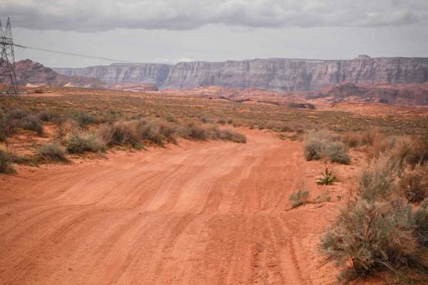
Diagonal Powerline
This is a 1.8-mile-long powerline road that diagonals through this red sandy desert and OHV area. The northwest end starts off of the perimeter powerline road and ends at the border of City of Page land, although the track keeps going into the Navajo Reservation. It's made of a mix of dirt and sand,...
Learn more about Diagonal Powerline
North Powerline
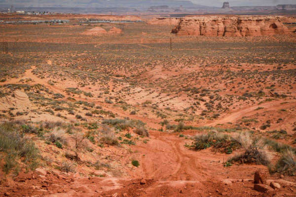
This is a 2-mile powerline trail in the desert south of the City of Page. The south end starts on top of one of the red sandstone mesas, at the intersection with Red Rim. On top of the mesa, it has a pretty cool view out over the whole valley. It has a slightly harder downhill to get off the mesa, w...
Learn more about North Powerline
Red Rim
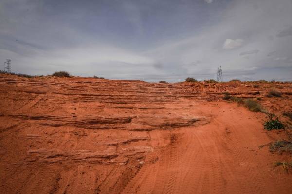
Red Rim is a 3-mile loop on top of one of the mesas in this red sandy desert by Page, Arizona. It has awesome views out towards Glen Canyon and toward the town of Page. The trail starts as easy sand under the powerlines and climbs up the mesa. The climb is not hard, but it is deep sand. Once you are...
Learn more about Red Rim
Powerline to Red Rim
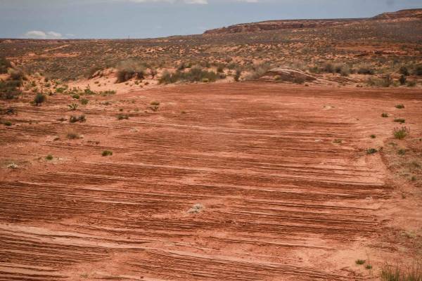
This trail of just over a mile long goes through the red sandy desert on City of Page land. It cuts through the desert from northwest to southeast starting from the perimeter powerline road. It's sandy, whooped, and easy. Then it turns south towards the red sandstone mesa. It crosses lots of other t...
Learn more about Powerline to Red Rim
West Powerline
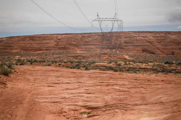
This 1.4-mile track is similar to the perimeter powerline trail, being mostly sand with lots of whoops. It has embedded rock slab sections, but the rock is all flat with no ledges, so it's still easy and it's very wide. This one has more sections of hardpacked dirt and isn't all completely sand, so ...
Learn more about West Powerline
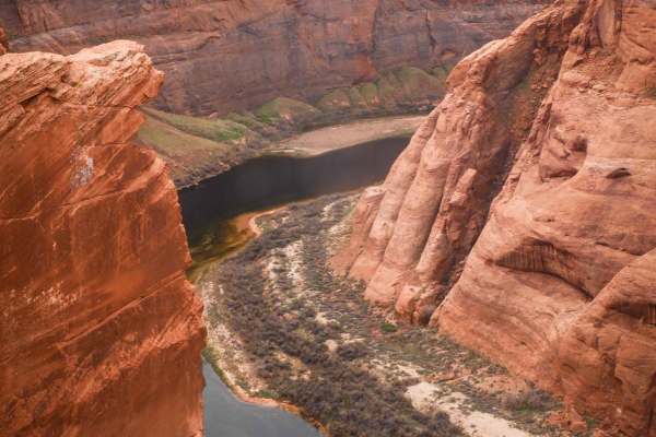
Colorado River View
This 1.8-mile track takes you from Highway 89 out to the canyon overlooking the Colorado River via a rocky powerline road. It starts out with slab rock on hardpacked sand and dirt underneath powerlines. It's flat and straight in the beginning, going over bumpy layers of slick rock. The slick rock cr...
Learn more about Colorado River View
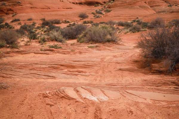
South Powerline
This trail starts as a powerline road on the southern border of the City of Page land bordering the Navajo Reservation, then turns north and goes along the red sandstone mesas. The powerline portion is red sand with lots of whoops. After the sharp turn north, it's still a sandy track with lots of wh...
Learn more about South Powerline
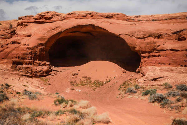
1099
1099 is a 6-mile-long trail that is mostly in the Vermillion Cliffs National Monument, with a half-mile portion that enters the Glen Canyon National Recreation Area on the east end. This last half mile in the National Recreation Area is only open to conventional vehicles, OHVs, and street-legal ATVs...
Learn more about 1099
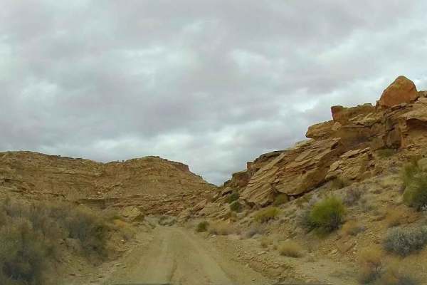
Smoky Hollow Road
Smoky Hollow Road is a scenic but fairly easy drive up a long wash that ascends to the top of the mesa. The road is one vehicle wide in most places, but there are many places where passing can be done safely. The wash was mostly dry, but that may change rapidly in case of rain or runoff.
Learn more about Smoky Hollow Road
ATV trails near Navajo Mountain, Utah
Explore ATV-friendly trails near you. These trails are accessible for vehicles up to 50 inches wide, perfect for ATVs and smaller off-road machines.
Lookout Point
This trail was most likely a route to get water to livestock. There is a solar-powered pump at the end of the road. It starts with a steep climb that is very off-camber--that is the reason for a higher rating. It follows the plateau with nice views of the surrounding area. If you look carefully, you...
Learn more about Lookout Point
Hole in the Rock
This was part of the original route to the hole in the rock. It was washed out and a new route was created. Fun route to go to where the washout is, with some nice red rock climbs and decent. some sand to deal with and lots of erosion at the end. We were not aware of the washout till we came upon it...
Learn more about Hole in the Rock
Alstrom Point Trail
Nice Shortcut from the main road with some quick short hills. Expect sharp dips where water has run through and eroded, creating deep, steep ascents and descents. Some are heavily rutted and off-camber in the runoff areas. The trail is short, quick, and fun. Be aware of your speed, as the ditches ca...
Learn more about Alstrom Point Trail
Sit Down Bench Trail BLM 320
Sit Down Bench Trail BLM 320 is a 17.7-mile point-to-point connector trail within the Glen Canyon National Recreation Area. Sit Down Bench connects the Smoky Mountain Road with the south end of Croton Road, creating a loop within the Grand Staircase-Escalante National Monument. Sit Down Bench is a s...
Learn more about Sit Down Bench Trail BLM 320
UTV/side-by-side trails near Navajo Mountain, Utah
Find UTV and side-by-side trails near you. These trails accommodate vehicles up to 60 inches wide, ideal for UTVs, side-by-sides, and wider off-road rigs.
Lookout Point
This trail was most likely a route to get water to livestock. There is a solar-powered pump at the end of the road. It starts with a steep climb that is very off-camber--that is the reason for a higher rating. It follows the plateau with nice views of the surrounding area. If you look carefully, you...
Learn more about Lookout Point
Hole in the Rock
This was part of the original route to the hole in the rock. It was washed out and a new route was created. Fun route to go to where the washout is, with some nice red rock climbs and decent. some sand to deal with and lots of erosion at the end. We were not aware of the washout till we came upon it...
Learn more about Hole in the Rock
Alstrom Point Trail
Nice Shortcut from the main road with some quick short hills. Expect sharp dips where water has run through and eroded, creating deep, steep ascents and descents. Some are heavily rutted and off-camber in the runoff areas. The trail is short, quick, and fun. Be aware of your speed, as the ditches ca...
Learn more about Alstrom Point Trail
Sit Down Bench Trail BLM 320
Sit Down Bench Trail BLM 320 is a 17.7-mile point-to-point connector trail within the Glen Canyon National Recreation Area. Sit Down Bench connects the Smoky Mountain Road with the south end of Croton Road, creating a loop within the Grand Staircase-Escalante National Monument. Sit Down Bench is a s...
Learn more about Sit Down Bench Trail BLM 320
The onX Offroad Difference
onX Offroad combines trail photos, descriptions, difficulty ratings, width restrictions, seasonality, and more in a user-friendly interface. Available on all devices, with offline access and full compatibility with CarPlay and Android Auto. Discover what you're missing today!
Open Trail Map