
Dirt Bike Trails
Near Midway, Kentucky
Explore All Dirt Bike Trails Near Midway, Kentucky
Dirt Bike Trails Near Midway, Kentucky
Discover the best dirt bike trails near you. Browse trail maps, check difficulty ratings, and find your next adventure — whether you're looking for a quick ride or an all-day expedition.
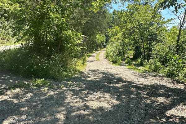
Silver Creek - Playground Area
This is a part of the unmaintained county road, Maple Grove Road. This trail travels along Silver Creek and has many offshoots and playground areas. Large mud holes, hill climbs, the wall, and other fun places to flex your ride or take your rig. Going too far off the trails, you can find No Trespass...
Learn more about Silver Creek - Playground Area
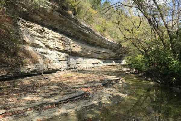
Jackson Branch - Power Lines
From the mouth of Jackson Branch at Silver Creek, you will ascend a narrow rock trail to the power line clearing and travel down Woodland Heights Road, or you can travel in the opposite direction as well. This route has a scenic overhanging rock cliff or cascade. Along the route are several old barn...
Learn more about Jackson Branch - Power Lines
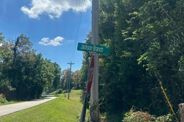
Jackson Branch Road
This county road is an unmaintained route that connects the community of Baldwin to Newby. It has one small creek crossing and has a rock and gravel surface. Taking this route will easily connect you with other trails in the area. Each side of this road is private property. You can find shade and pl...
Learn more about Jackson Branch Road
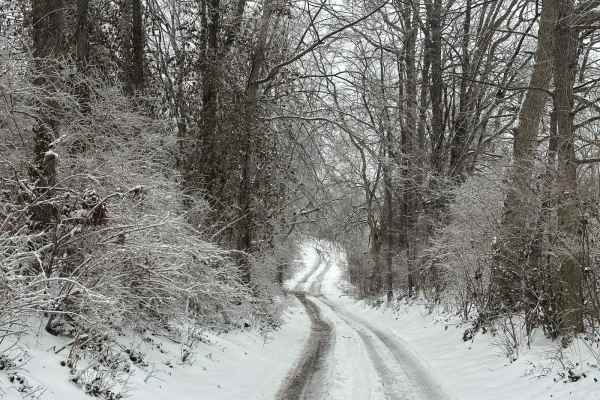
Bogie Mill - Eddington
This trail runs between Newby and Bogie Mill. It is known locally as Eddington Lane or Newby Road. This trail will take you right into Silver Creek, with beautiful farmland and a covered bridge nearby down Bogie Mill Road. There are several other trails in the area, and this one will be one of the e...
Learn more about Bogie Mill - Eddington
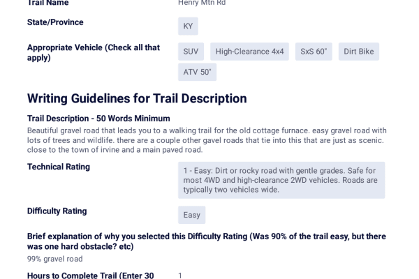
Henry Mountain Road
This is a beautiful gravel road that leads to a walking trail for the old cottage furnace. It is an easy gravel road with beautiful trees and wildlife. There are a few other side roads that are just as scenic.
Learn more about Henry Mountain Road
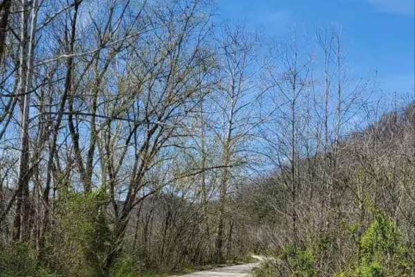
Bowen Service Road
Gravel service road for Bowen, Kentucky, that runs along the Mountain Parkway. This trail is out-and-back only, no thruway traffic. Ends at a farmer's field, which is closed off by a gate. It provides views of farmland and the Mountain Parkway along the way, with only a couple of shallow mudholes.
Learn more about Bowen Service Road
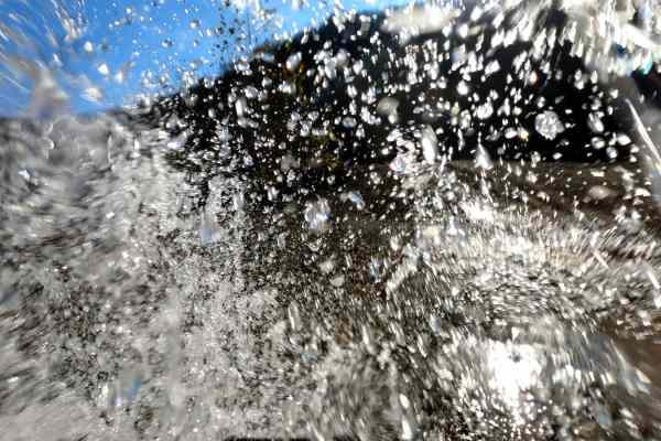
Rock Lick / Pipeline Exit
This is a very scenic trail that runs along and through Rock Lick Creek. There are multiple creek crossings, as well a few deep and off-camber mud holes. Most of the deep mud holes have a bypass. The creek has a bluish green tint and flows year round. Rumor has it that there is good smallmouth fishi...
Learn more about Rock Lick / Pipeline Exit
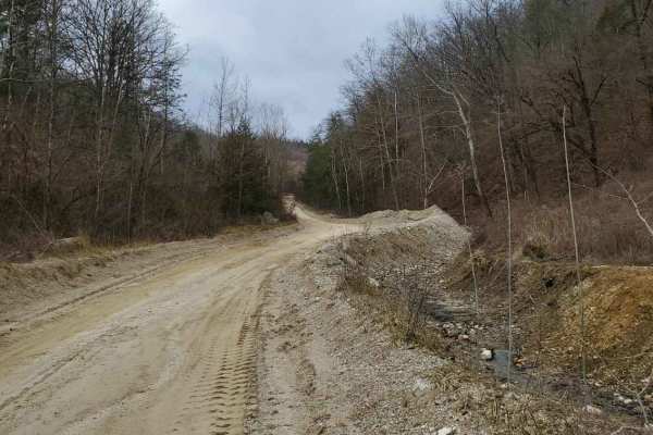
Chop Chesnut
You will start out on gravel until you reach the summit. As you follow the course, you will come to a closed yellow gate, at which point you continue on the trail to the left. Once you reach the top, it offers a view for miles. As you continue on, the trail becomes dirt and sand. You will traverse s...
Learn more about Chop Chesnut
June Bug
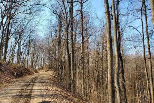
Easy gravel drive on a semi-maintained Forest Service road. No destination, just out and back. Offers views of the valley below and geological formations to explore. seen two cave entrances. There is an abandoned cabin that sits off down in the valley below. Great trail for someone looking for a saf...
Learn more about June Bug
Mountain Springs Road
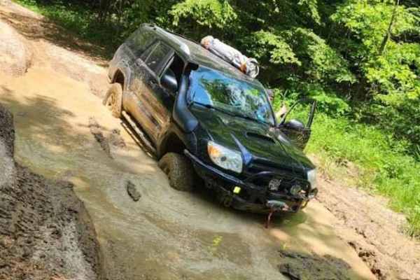
Mountain Springs Road is a challenging track through a thick forest with lots of mud and ledges. There is a small rock garden towards the southern end of the trail. This route starts at the actual trail with no pavement.
Learn more about Mountain Springs Road
Spaas Creek
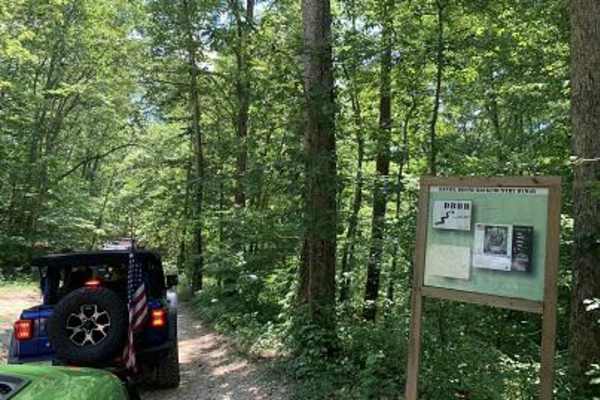
Spaas Creek is a wonderful 6-mile creek ride east of Winchester. It is located inside the Daniel Boone National Forest and is a short distance from many other rides in the area. The northern trailhead is the most difficult part of the trail. There are several water crossings and boulder obstacles on...
Learn more about Spaas Creek
Cold Iron Fork Road
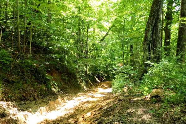
Cold Iron Fork Road is a challenging 2.7-mile point-to-point trail in the Daniel Boone National Forest, ideal for experienced drivers seeking steep muddy climbs and technical rock obstacles. Connecting US-460 near Rothwell to Indian Creek Road (KY-713) in the south, this route winds through a dense ...
Learn more about Cold Iron Fork Road
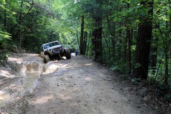
Sand Lick Road
Sand Lick Road begins in the heart of Powell County, Kentucky, and offers an off-road route that weaves through a mix of dirt and gravel surfaces. The road starts with a relatively easy drive, featuring a few uneven sections and occasional rocky spots that require a high-clearance 4WD vehicle. As th...
Learn more about Sand Lick Road
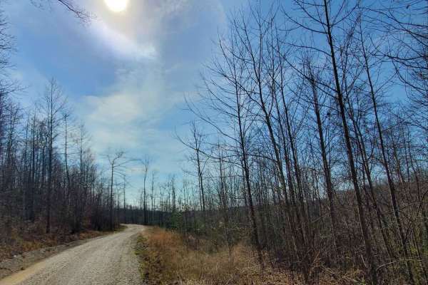
Amos Cut
Nice, easy gravel road, following an abandoned railroad. It offers views of the valley below and an operational rock quarry across the way. This road is an abandoned rail bed from the days when the Red River Gorge was being logged. There are no obstacles along this route in typical conditions, but o...
Learn more about Amos Cut
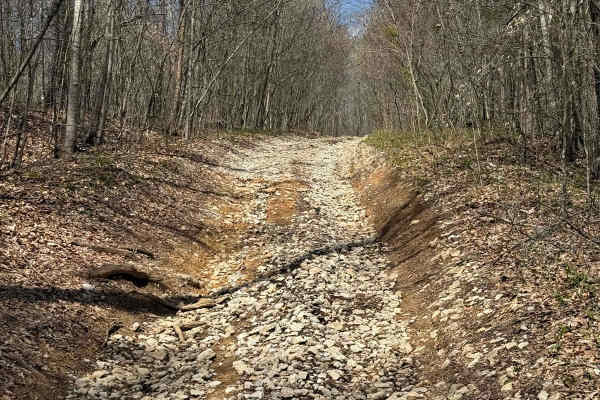
Billey Fork Road
Billey Fork road is on the west side of the park and runs with Red's Hollow and is between trails 15 and 16. This is a maintained gravel road and will have other trails that will be coming off of this area in the future of the park.
Learn more about Billey Fork Road
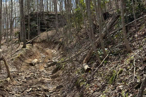
Lookout Loop
Lookout Loop is a short climb into a couple of high and elevated points around some knobs that have some great overlook spots to stop and also do a small hike to enjoy the views. This is a very tight trail that is narrow between the trees; the trail winds around and through.
Learn more about Lookout Loop
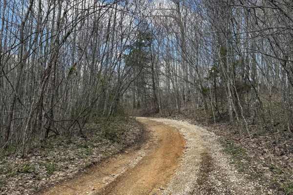
Trail 29
Trail 29 is a short gravel road trail that will allow the connection of Trail 15, 31, and Billey Fork Road. Additionally, Red Hollow Road is off of this trail as well, which will lead into the park as Billey Fork travels all along this southwestern side of the park.
Learn more about Trail 29
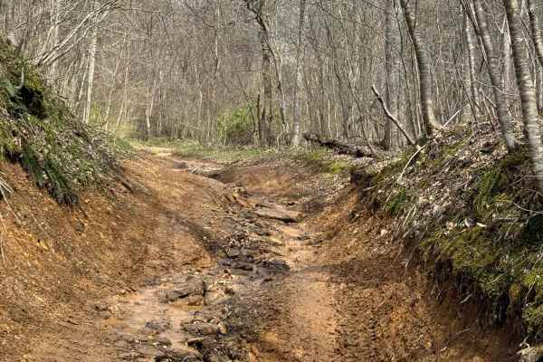
Trail 25
Trail 25 is a connector trail for trails 11 and 15. This trail has some good climbs and ledges to traverse. A short trail that is somewhat narrow with a couple of sharp hairpin turns, which is a fun trail on the west side of the park to check out.
Learn more about Trail 25
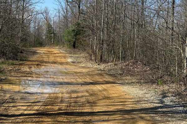
Trail 12
Trail 12 is a lengthy trail that runs through the west side of the park, which has many trails coming off of it. This could be considered one of the main thoroughfares through this side of the park. You will find several places to stop and take in the views of the surrounding areas of the park.
Learn more about Trail 12
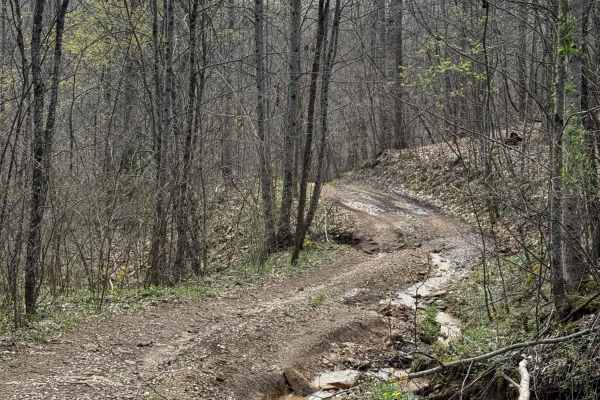
Trail 21
This is a short and steep trail that runs through an intermingled area with some other old logging trails that run in the area. This trail is surrounded by others, such as 23/23A, 22, and 24. Find these in the center of the west side of the park and check out the views.
Learn more about Trail 21
ATV trails near Midway, Kentucky
Explore ATV-friendly trails near you. These trails are accessible for vehicles up to 50 inches wide, perfect for ATVs and smaller off-road machines.
Silver Creek - Playground Area
This is a part of the unmaintained county road, Maple Grove Road. This trail travels along Silver Creek and has many offshoots and playground areas. Large mud holes, hill climbs, the wall, and other fun places to flex your ride or take your rig. Going too far off the trails, you can find No Trespass...
Learn more about Silver Creek - Playground Area
Jackson Branch - Power Lines
From the mouth of Jackson Branch at Silver Creek, you will ascend a narrow rock trail to the power line clearing and travel down Woodland Heights Road, or you can travel in the opposite direction as well. This route has a scenic overhanging rock cliff or cascade. Along the route are several old barn...
Learn more about Jackson Branch - Power Lines
Jackson Branch Road
This county road is an unmaintained route that connects the community of Baldwin to Newby. It has one small creek crossing and has a rock and gravel surface. Taking this route will easily connect you with other trails in the area. Each side of this road is private property. You can find shade and pl...
Learn more about Jackson Branch Road
Bogie Mill - Eddington
This trail runs between Newby and Bogie Mill. It is known locally as Eddington Lane or Newby Road. This trail will take you right into Silver Creek, with beautiful farmland and a covered bridge nearby down Bogie Mill Road. There are several other trails in the area, and this one will be one of the e...
Learn more about Bogie Mill - Eddington
UTV/side-by-side trails near Midway, Kentucky
Find UTV and side-by-side trails near you. These trails accommodate vehicles up to 60 inches wide, ideal for UTVs, side-by-sides, and wider off-road rigs.
Silver Creek - Playground Area
This is a part of the unmaintained county road, Maple Grove Road. This trail travels along Silver Creek and has many offshoots and playground areas. Large mud holes, hill climbs, the wall, and other fun places to flex your ride or take your rig. Going too far off the trails, you can find No Trespass...
Learn more about Silver Creek - Playground Area
Jackson Branch - Power Lines
From the mouth of Jackson Branch at Silver Creek, you will ascend a narrow rock trail to the power line clearing and travel down Woodland Heights Road, or you can travel in the opposite direction as well. This route has a scenic overhanging rock cliff or cascade. Along the route are several old barn...
Learn more about Jackson Branch - Power Lines
Jackson Branch Road
This county road is an unmaintained route that connects the community of Baldwin to Newby. It has one small creek crossing and has a rock and gravel surface. Taking this route will easily connect you with other trails in the area. Each side of this road is private property. You can find shade and pl...
Learn more about Jackson Branch Road
Bogie Mill - Eddington
This trail runs between Newby and Bogie Mill. It is known locally as Eddington Lane or Newby Road. This trail will take you right into Silver Creek, with beautiful farmland and a covered bridge nearby down Bogie Mill Road. There are several other trails in the area, and this one will be one of the e...
Learn more about Bogie Mill - Eddington
The onX Offroad Difference
onX Offroad combines trail photos, descriptions, difficulty ratings, width restrictions, seasonality, and more in a user-friendly interface. Available on all devices, with offline access and full compatibility with CarPlay and Android Auto. Discover what you're missing today!
Open Trail Map