Cold Iron Fork Road

Total Miles2.7
Technical Rating
7Difficult
Best TimeSpring, Summer, Fall
Trail TypeHigh-Clearance 4x4 Trail
Accessible By
Open Trail Map

Trail Overview

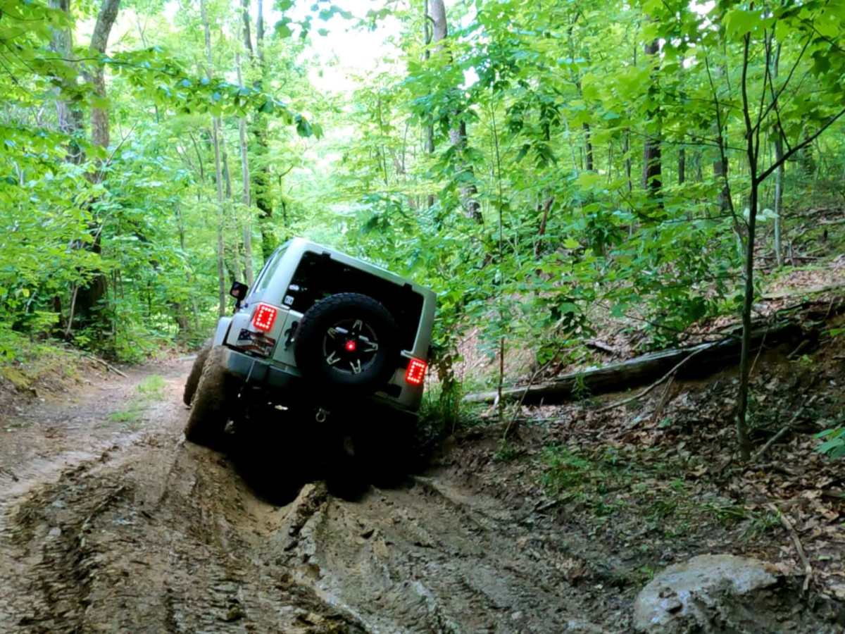
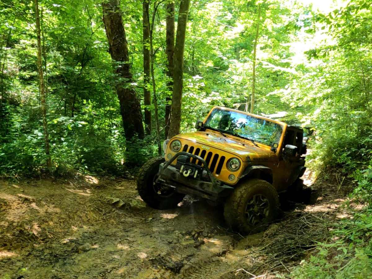
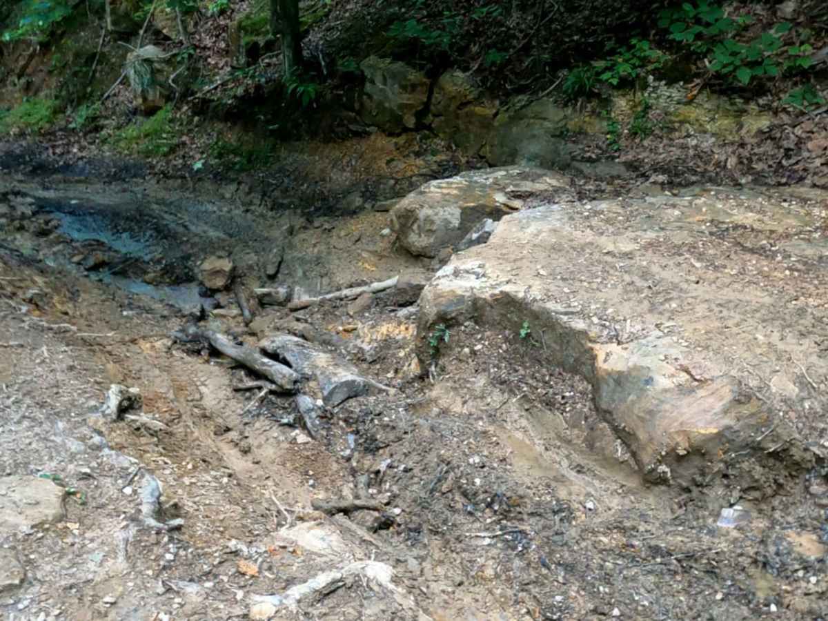
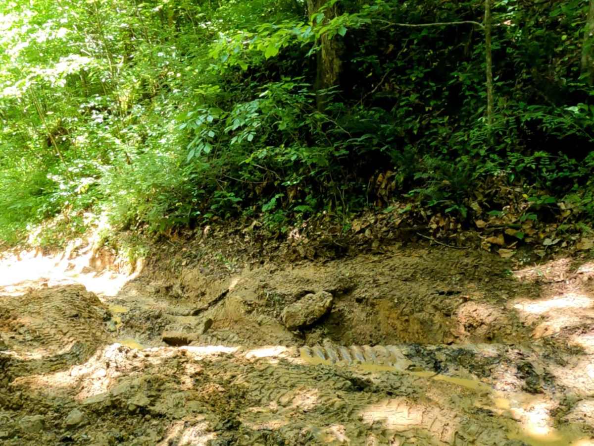
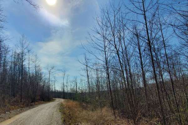
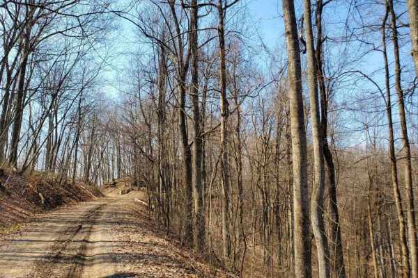
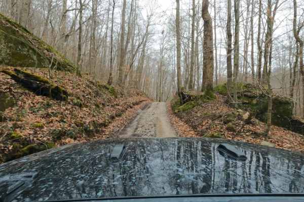
Cold Iron Fork Road is a challenging 2.7-mile point-to-point trail in the Daniel Boone National Forest, ideal for experienced drivers seeking steep muddy climbs and technical rock obstacles. Connecting US-460 near Rothwell to Indian Creek Road (KY-713) in the south, this route winds through a dense forest with elevations ranging from 850 to over 1,320 feet. While the trail features easier scenic stretches lined with wild roses and a thick tree canopy, it demands a capable four-wheel-drive vehicle with high clearance and a rear locker to navigate the steep, deeply rutted hills. A technical rating of 7 reflects the difficulty of these climbs and a prominent, large rock obstacle that requires careful tire placement and solid driving technique. Because of the clay-heavy soil in this part of Kentucky, wet conditions quickly turn the dirt trail into an extremely slick, muddy slide, making recovery gear and a winch highly recommended. The route has a cumulative elevation gain of about 460 feet, with steep pitches reaching maximum gradients of nearly 20 degrees. Offroaders in SxSs, built Jeeps, and other high-clearance four-wheel-drive rigs will find this short connector a thrilling test of their vehicle's articulation and traction, especially during the spring, summer, and fall seasons. For those looking to extend their adventure, the surrounding area offers several adjacent dirt roads and trail networks within the national forest.

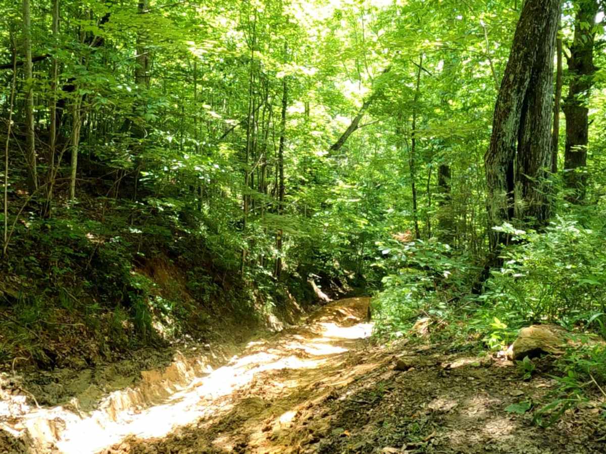
Photos of Cold Iron Fork Road

Difficulty

steep muddy rutted hills as well a large rock obstacle.

Technical Rating

7

Status Reports

Add Status Report
Bart Welte
Nov 01, 2025
Open
Came in from the South, and trail was overgrown-Expect pin stripes. Very tame at first. Got to an uphill section v-notch with large rock at the top. Was too rutted and muddy to try. May be fine from the north to go down.
Karl Bruns
Mar 22, 2025
2024 Jeep Wrangler
Open
bring a friend and a winch, came close to needing one or the other a couple times
Tim Taylor
Mar 15, 2025
2019 Jeep Wrangler
Open
Muddy/Wet
We get the trail in reverse starting at 713. Had to use the winch twice.
Jonathan Hensley
Feb 22, 2025
2012 Jeep Wrangler
Obstructed
Near the beginning of the trail coming from of 713, there is a large tree down across the trail.
Brandon Ward
Oct 17, 2024
2019 Toyota Tacoma
Open
Normal
In the very beginning we cut through some peoples driveway, the wife came out and said we were more than welcome to in order to avoid some giant rocks on the first hill…be aware of Bigfoot!
WS SS
Apr 28, 2024
Open
DustyMuddy/WetRough/DeterioratedWashboard
Near north end washed out sections very deep - need at least 35” tires to get past
Eric Taylor
Sep 15, 2023
Open
Normal
Justin Rorrer
May 28, 2023
Open
Rough/Deteriorated
James Johnson
Mar 05, 2023
Open

Cold Iron Fork Road Trail can be accessed by the following ride types:

  • Single Track
  • High Clearance

Cold Iron Fork Road Map

The onX Offroad Difference

onX Offroad combines trail photos, descriptions, difficulty ratings, width restrictions, seasonality, and more in a user-friendly interface. Available on all devices, with offline access and full compatibility with CarPlay and Android Auto. Discover what you're missing today!

Open Trail Map