Trail Overview
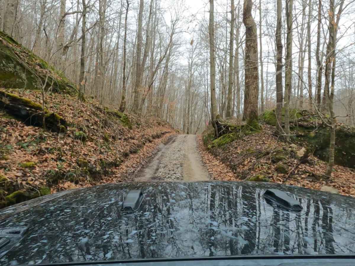
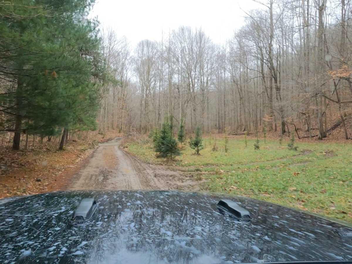
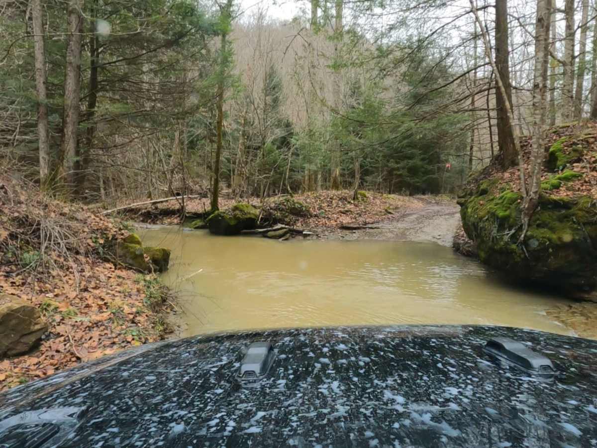
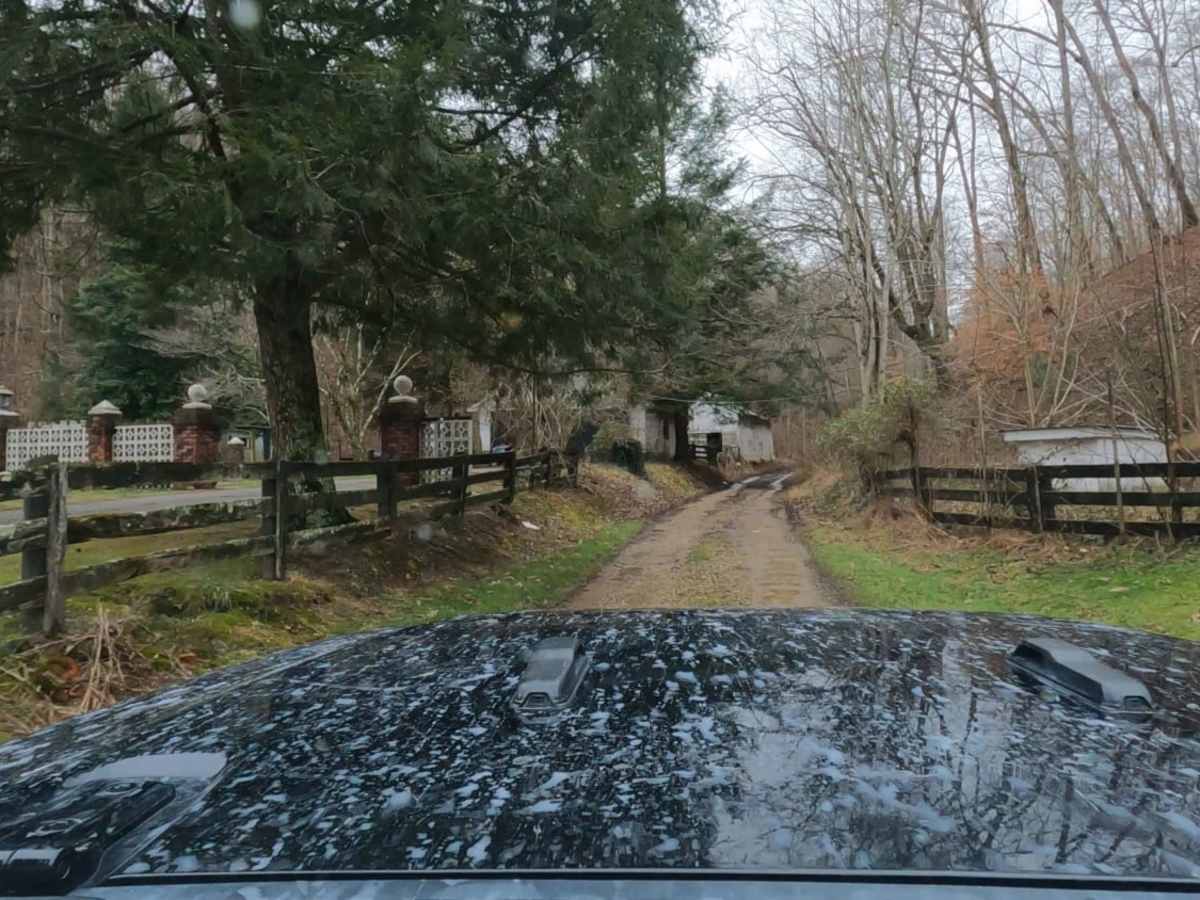
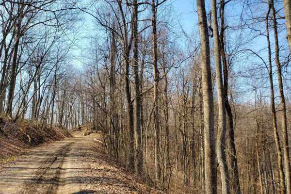
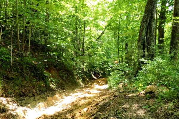
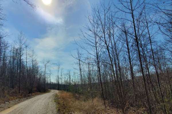
Pumpkin Hollow Road offers an exciting 3.5-mile off-road adventure through the lush, dense canopy of the Daniel Boone National Forest. This unpaved trail features a steady elevation shift, climbing from a low of 733 feet up to 1,152 feet above sea level, and showcases a vibrant, almost tropical environment during the late spring and summer months. The route is highly favored by regional offroaders for its active water features and dense greenery, starting near Route 713 (Indian Creek Road) at its northern end and winding south toward Hedger Hollow.
Navigating this trail requires a capable 4WD vehicle prepared for a technical rating of 4, primarily due to deep mud ruts, a slick, wet hill climb, and several large rocks scattered along the path. The creek flows year-round, meaning drivers should expect consistent water crossings and muddy terrain. Located just north of Slade, Kentucky—a convenient hub providing fuel, supplies, and dining—this trail serves as an excellent starting point or connector for a full day of exploring the rugged dirt roads of the Red River Gorge area.
Access Description
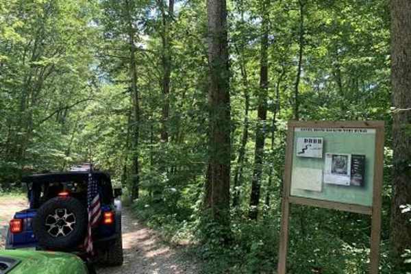
The trail is located within the Daniel Boone National Forest and is subject to federal forest service regulations. High-clearance 4WD vehicles are highly recommended due to the potential for deep mud ruts and active creek crossings. No permits or fees are required to drive the road, but users should check the local Motor Vehicle Use Map (MVUM) for any seasonal closures or travel restrictions.