
Dirt Bike Trails
Near Maryhill, Washington
Explore All Dirt Bike Trails Near Maryhill, Washington
Dirt Bike Trails Near Maryhill, Washington
Discover the best dirt bike trails near you. Browse trail maps, check difficulty ratings, and find your next adventure — whether you're looking for a quick ride or an all-day expedition.
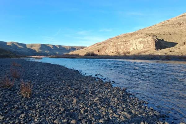
Starvation Lane River Access
The Starvation Lane River Access road to the John Day River is a gravel road that winds through wheat fields and sagebrush. The upper section of the gravel road can be anything from smooth to rough, or washboard to puddle-laden, depending on the time of the season. The lower section is a "primitive"...
Learn more about Starvation Lane River Access
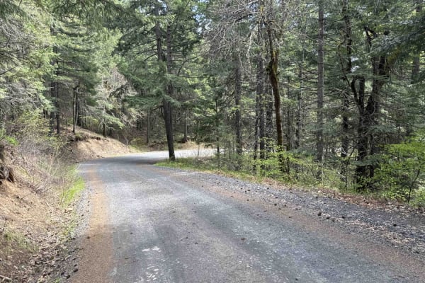
Buck Creek N-1000 to Little Baldy Peak
The journey begins with an opportunity to observe whitewater kayakers on the White Salmon River at Northwestern Park, providing a perfect spot to relax and enjoy the surroundings. Continuing west a short distance and turning left onto Nestor Peak Road/N-1000, the road ascends the ridge, passing thro...
Learn more about Buck Creek N-1000 to Little Baldy Peak
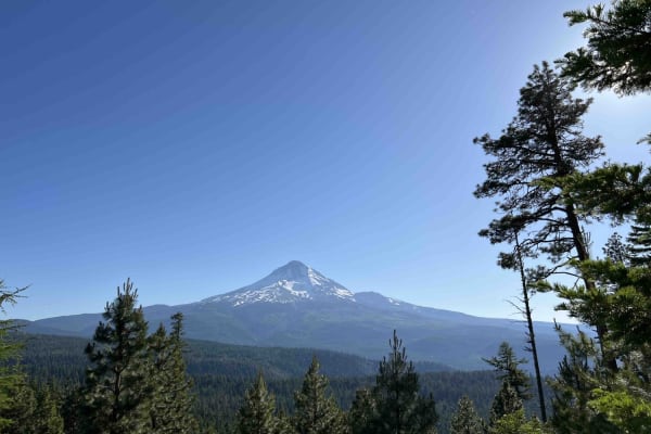
Long Prairie 17
Long Prairie 17 is a byway located in the 1.1-million-acre Mount Hood National Forest. Once you turn onto Long Prairie 17 it begins as pavement and then starts up the hill into gravel which is very bumpy with potholes. This route rides the ridge and parallels a popular hiking trail called Surveyors ...
Learn more about Long Prairie 17
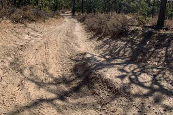
Little Badger Creek South Road
This is an adventurous dirt road that is not recommended for passenger cars. It would be fun for a Subaru or all-wheel drive vehicle with good tire placement. If conditions are wet, it would require true low-range four-wheel drive. There are several campsites off the main trail, Marywood Drive. The ...
Learn more about Little Badger Creek South Road
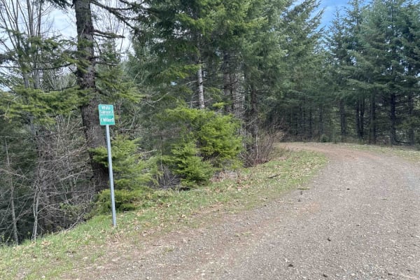
DNR N-4000 Road
Embark on an off-road journey through a conifer forest, where the towering trees guide your path. This route promises a blend of rugged terrain, panoramic vistas, and hidden gems waiting to be discovered. Your journey commences with a gentle ascent, leading you along the edge of a clear-cut. Here, t...
Learn more about DNR N-4000 Road
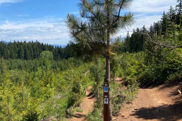
Hood River OHV 160 to 140 to 133
This is a loop of connecting trails in the Hood River OHV Park. There are lots more trails to come from this park. The system has some quad trails and a lot of single track. You will find a lot of Mountain bikers riding these trails as well. Some of the trails in the system are for non-motorized bik...
Learn more about Hood River OHV 160 to 140 to 133
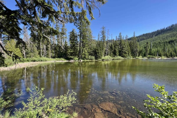
Green Point - 2810
Green Point - 2810 is a beautiful scenic drive through the Mount Hood National Forest in Northwest Oregon. This road is mainly gravel however there are areas where large boulders and rocks have come on the road and you have to swerve to avoid them as well as large trees lying over the road. Going up...
Learn more about Green Point - 2810
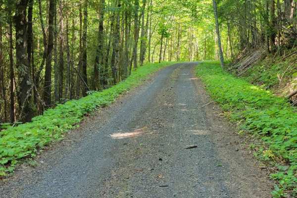
FR 1840 - N Holmes Creek
Forest Road 1840 could have easily been a candidate for the WABDR. It's an immensely fun, windy, two-track trail through the forest. With how dense the woods are in some places, it gives the feeling of driving through a tunnel almost. There are a couple of challenging spots that'll be encountered, i...
Learn more about FR 1840 - N Holmes Creek
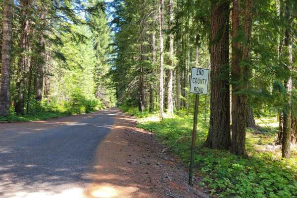
The Monte's (NF 18)
This trail begins at the Oklahoma Campground and leads past Monte Carlo Lower Trailhead and Monte Cristo Lower Trailhead. This is a very narrow two-track that has large, deep potholes and erosion diversions to navigate. Lower clearance vehicles are not recommended. The further up the trail, the more...
Learn more about The Monte's (NF 18)
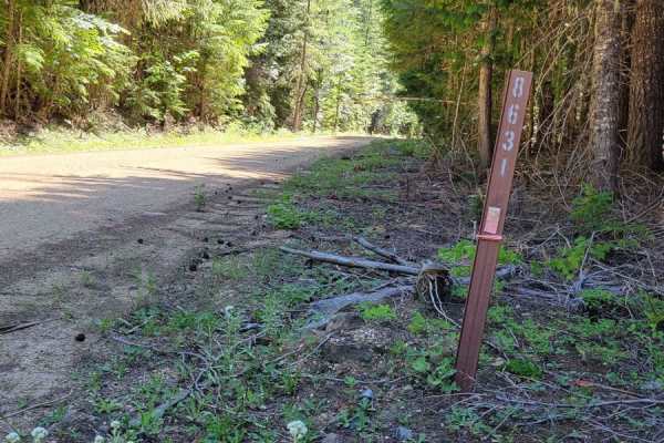
FR 8631
Forest Road 8631 connects from FR 86 to the WABDR (Section 1) trail. There are several offshoot trails that can be explored, as well as a handful of primitive camp spots that were noted along the way. The road is an easy dirt road with a few potholes that will be encountered. Safe enough for 2WD veh...
Learn more about FR 8631
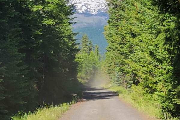
Lookout Mountain Road - FR 4410000
An easy dirt road that takes you through the Mt. Hood National Forest. It connects to several other trails in the area, and leads to a few trailheads for hiking and biking. The trail can get dusty behind other vehicles. Unmaintained in the winter months. Keep an eye open, and you'll catch glimpses o...
Learn more about Lookout Mountain Road - FR 4410000
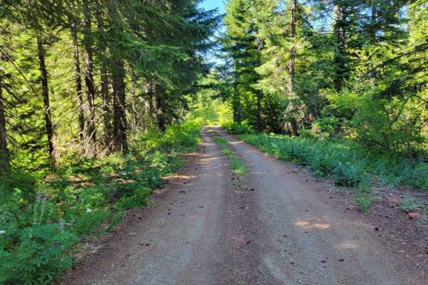
FR 86 - Cave Creek
Forest Road 86 is a wide and easy connector to several other trails in the area. The road conditions are that of a typical mountain road, complete with some washboard sections and large potholes to navigate. Safe and capable for 2WD vehicles. There is an awesome overlook point of the surrounding for...
Learn more about FR 86 - Cave Creek
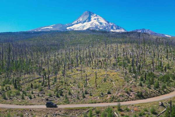
Cloud Cap Road
This trail is an irregular gravel road marked by large rocks, numerous potholes, and segments of profound dust which create the potential to get stuck. Its accessibility varies with the seasons and may be gated due to snowfall or fallen trees during winter. This route allows you to approach the Nort...
Learn more about Cloud Cap Road
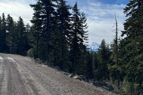
Dead Point - FS 2820
This forest road is mostly gravel and smooth surfaced. The road travels through dense forest, but in sections it opens up and you get amazing views of Mt. Hood. As you go further up the trail you will get views of Mount Defiance, which is the tallest peak on the Columbia River Gorge. The road dead e...
Learn more about Dead Point - FS 2820
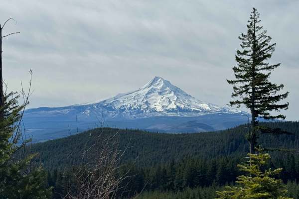
Larch Mountain Road
This trail leads you into the Mount Hood National Forest near Upper Green Point Reservoir. This area has many ATV and dirt bike trails, which cross the road in some places, so drive with care. The trail is a wide and smooth gravel road with little to no wash and ruts. There is a gradual incline and ...
Learn more about Larch Mountain Road
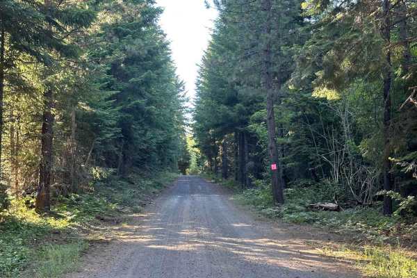
Lower Buck Creek N713
Lower Buck Creek trail is used as a connector from Mount Adams South Trailhead up to Randle Washington. This hard-packed dirt trail is well-traveled but in nice condition. The road is wide enough for passing vehicles safely, there was active logging on both sides of the road so there may be logging ...
Learn more about Lower Buck Creek N713
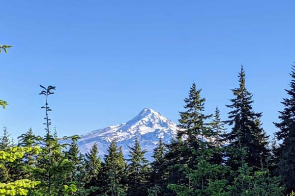
Mount Defiance - NF 2821000
Mount Defiance road scrambles 1600'+ out of the hills West of Hood River, Oregon to the summit of Mount Defiance and the edge of the Mark O Hatfield Wilderness. The summit tops out at just under 5,000'. Once the gravel forest service road passes 4,000', the road bed quickly turns to a loose shale an...
Learn more about Mount Defiance - NF 2821000
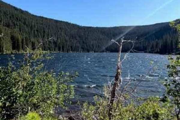
Badger Lake Via Bennett Pass
This route will lead you from Bennett Pass down into Badger Lake. After leaving Bennett Pass Road, you will be heading down a fairly steep grade on Forest Road 140. The road is a single track with some tight spaces that could pin stripe full-size rigs. Most high clearance vehicles will be able to ta...
Learn more about Badger Lake Via Bennett Pass
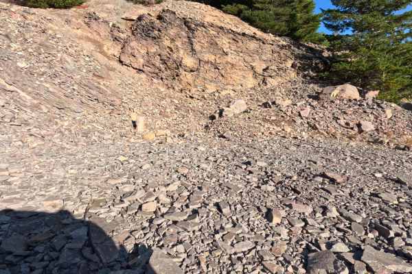
Dollar Quarry
Serving as a rugged continuation near the terminus of FS 1631, the Dollar Quarry trail operates as a brief, highly unique out-and-back backcountry spur. The surrounding environment provides a dramatic visual transition, shifting from a lush, heavily shaded evergreen forest into a wide-open, starkly ...
Learn more about Dollar Quarry
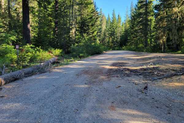
FR - 6020
Forest Road 6020 connects from Big Lava Bed Trail to Forest Road 24 (Berryfields). There are several offshoot trails from off of this road. Scattered primitive camp spots were noted along the way. The trail is a typical mountain road, complete with washboards, potholes, and minimal erosion sections....
Learn more about FR - 6020
ATV trails near Maryhill, Washington
Explore ATV-friendly trails near you. These trails are accessible for vehicles up to 50 inches wide, perfect for ATVs and smaller off-road machines.
Buck Creek N-1000 to Little Baldy Peak
The journey begins with an opportunity to observe whitewater kayakers on the White Salmon River at Northwestern Park, providing a perfect spot to relax and enjoy the surroundings. Continuing west a short distance and turning left onto Nestor Peak Road/N-1000, the road ascends the ridge, passing thro...
Learn more about Buck Creek N-1000 to Little Baldy Peak
Long Prairie 17
Long Prairie 17 is a byway located in the 1.1-million-acre Mount Hood National Forest. Once you turn onto Long Prairie 17 it begins as pavement and then starts up the hill into gravel which is very bumpy with potholes. This route rides the ridge and parallels a popular hiking trail called Surveyors ...
Learn more about Long Prairie 17
Little Badger Creek South Road
This is an adventurous dirt road that is not recommended for passenger cars. It would be fun for a Subaru or all-wheel drive vehicle with good tire placement. If conditions are wet, it would require true low-range four-wheel drive. There are several campsites off the main trail, Marywood Drive. The ...
Learn more about Little Badger Creek South Road
DNR N-4000 Road
Embark on an off-road journey through a conifer forest, where the towering trees guide your path. This route promises a blend of rugged terrain, panoramic vistas, and hidden gems waiting to be discovered. Your journey commences with a gentle ascent, leading you along the edge of a clear-cut. Here, t...
Learn more about DNR N-4000 Road
UTV/side-by-side trails near Maryhill, Washington
Find UTV and side-by-side trails near you. These trails accommodate vehicles up to 60 inches wide, ideal for UTVs, side-by-sides, and wider off-road rigs.
Buck Creek N-1000 to Little Baldy Peak
The journey begins with an opportunity to observe whitewater kayakers on the White Salmon River at Northwestern Park, providing a perfect spot to relax and enjoy the surroundings. Continuing west a short distance and turning left onto Nestor Peak Road/N-1000, the road ascends the ridge, passing thro...
Learn more about Buck Creek N-1000 to Little Baldy Peak
Long Prairie 17
Long Prairie 17 is a byway located in the 1.1-million-acre Mount Hood National Forest. Once you turn onto Long Prairie 17 it begins as pavement and then starts up the hill into gravel which is very bumpy with potholes. This route rides the ridge and parallels a popular hiking trail called Surveyors ...
Learn more about Long Prairie 17
Little Badger Creek South Road
This is an adventurous dirt road that is not recommended for passenger cars. It would be fun for a Subaru or all-wheel drive vehicle with good tire placement. If conditions are wet, it would require true low-range four-wheel drive. There are several campsites off the main trail, Marywood Drive. The ...
Learn more about Little Badger Creek South Road
DNR N-4000 Road
Embark on an off-road journey through a conifer forest, where the towering trees guide your path. This route promises a blend of rugged terrain, panoramic vistas, and hidden gems waiting to be discovered. Your journey commences with a gentle ascent, leading you along the edge of a clear-cut. Here, t...
Learn more about DNR N-4000 Road
The onX Offroad Difference
onX Offroad combines trail photos, descriptions, difficulty ratings, width restrictions, seasonality, and more in a user-friendly interface. Available on all devices, with offline access and full compatibility with CarPlay and Android Auto. Discover what you're missing today!
Open Trail Map