Lower Buck Creek N713

Total Miles7.1
Technical Rating
1Easy
Best TimeSpring, Summer, Fall
Trail TypeFull-Width Road
Accessible By
Open Trail Map

Trail Overview

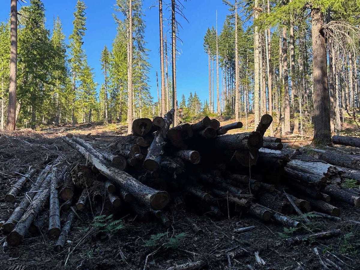
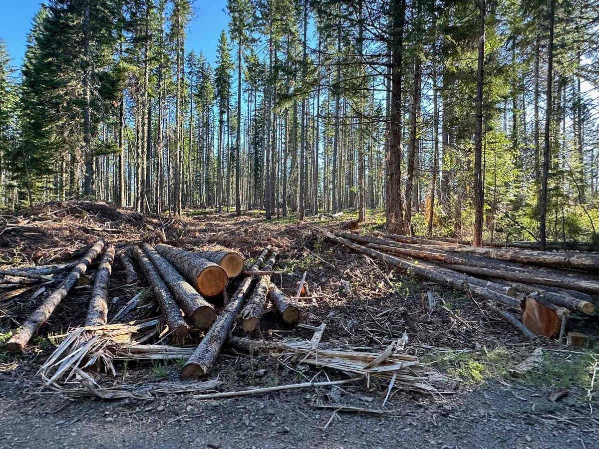
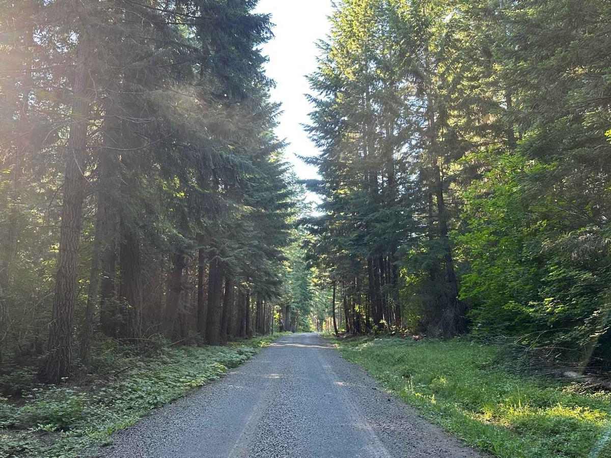
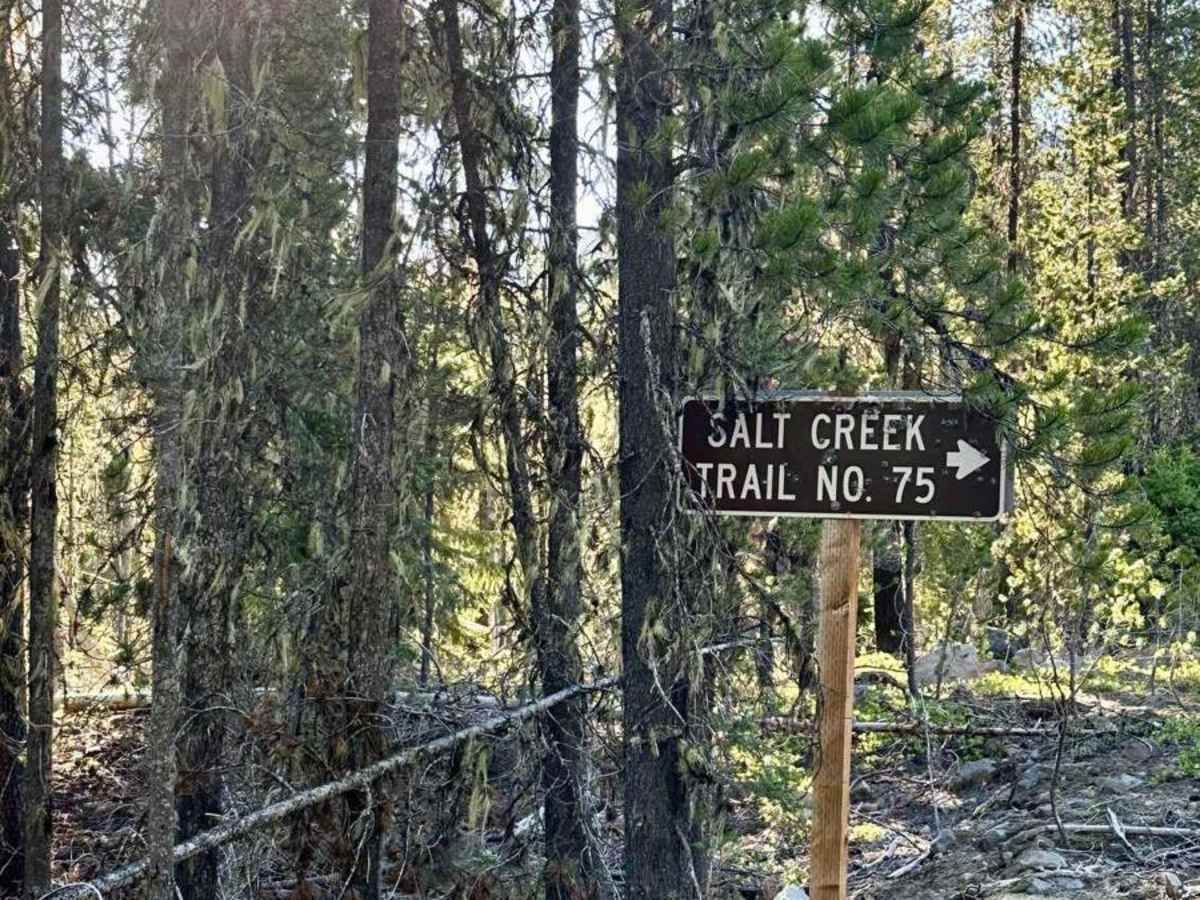
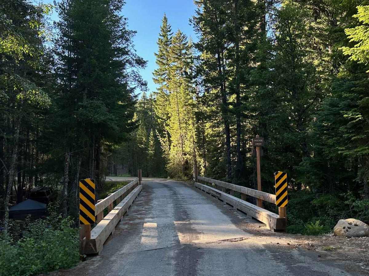
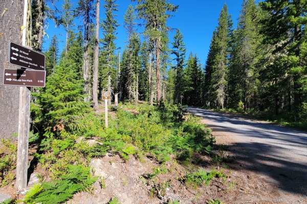
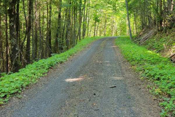
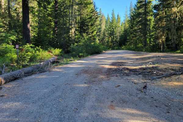
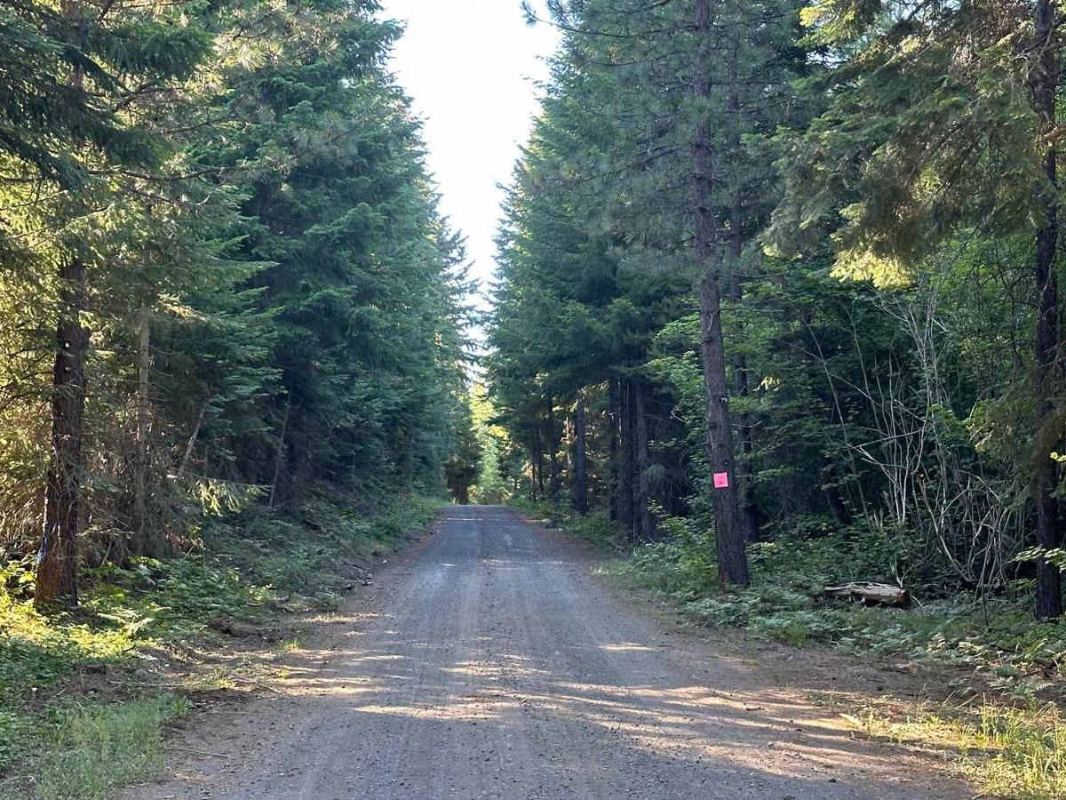
Lower Buck Creek trail is used as a connector from Mount Adams South Trailhead up to Randle Washington. This hard-packed dirt trail is well-traveled but in nice condition. The road is wide enough for passing vehicles safely, there was active logging on both sides of the road so there may be logging trucks at times. At 6.3 miles you'll reach the Salt Creek Trail head for hiking and just past at 6.4 miles you come to Cascade Creek where there are nice collection of camp spots along the creek.

Photos of Lower Buck Creek N713

Difficulty

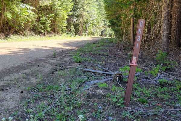
This is a well-traveled road with a hard dirt pack and crushed rock.

Technical Rating

1

Lower Buck Creek N713 Trail can be accessed by the following ride types:

  • Single Track
  • 50 Inch
  • 60 Inch
  • High Clearance
  • Full Width

Lower Buck Creek N713 Map

The onX Offroad Difference

onX Offroad combines trail photos, descriptions, difficulty ratings, width restrictions, seasonality, and more in a user-friendly interface. Available on all devices, with offline access and full compatibility with CarPlay and Android Auto. Discover what you're missing today!

Open Trail Map