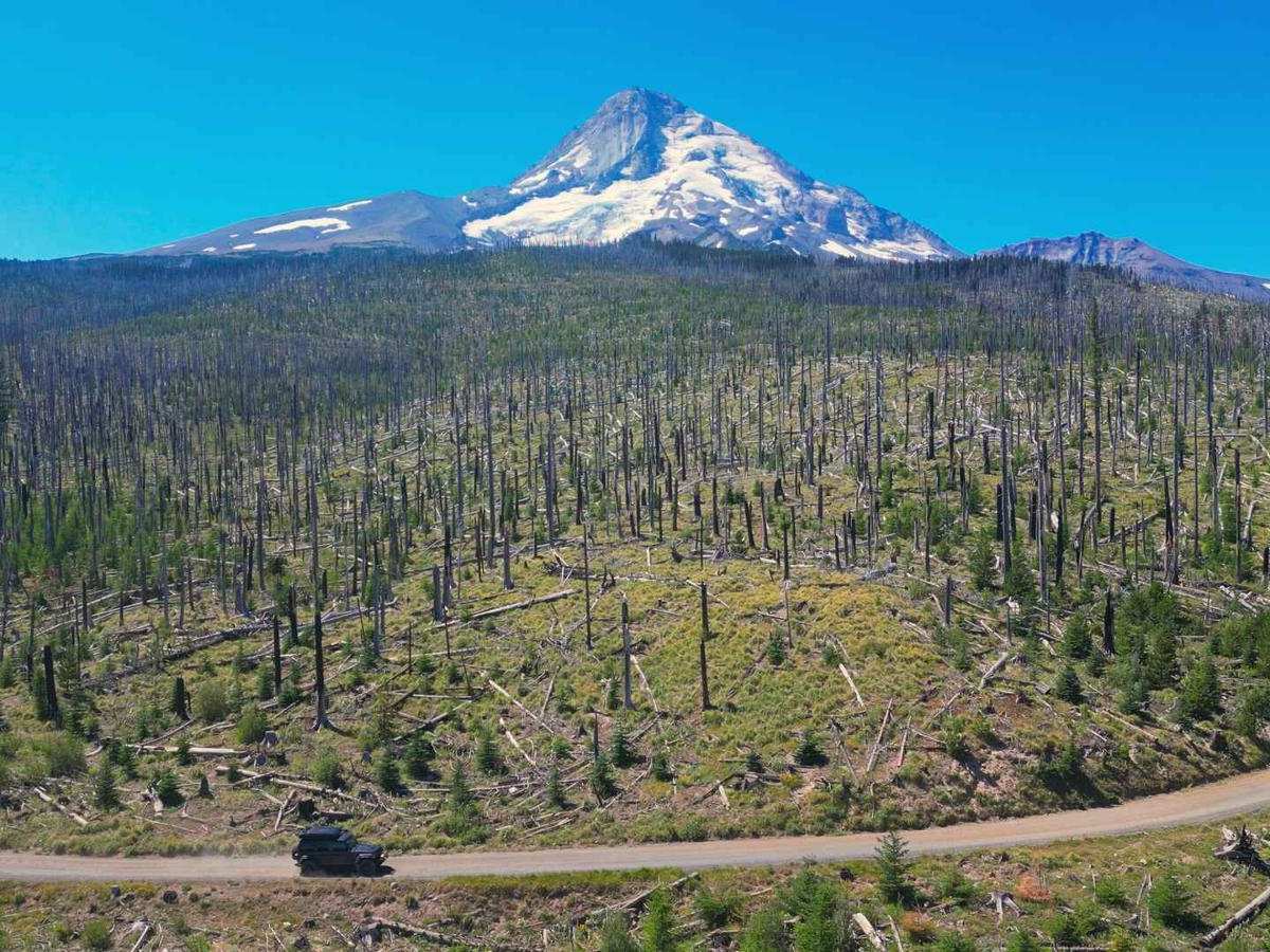
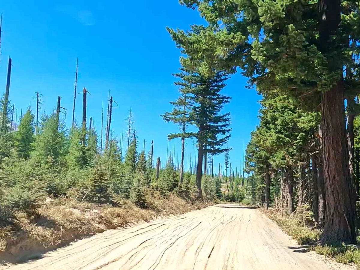
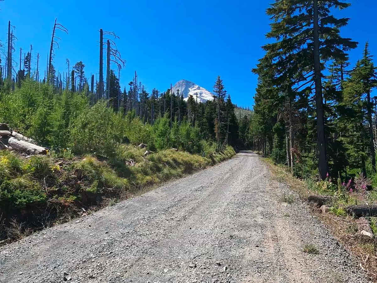
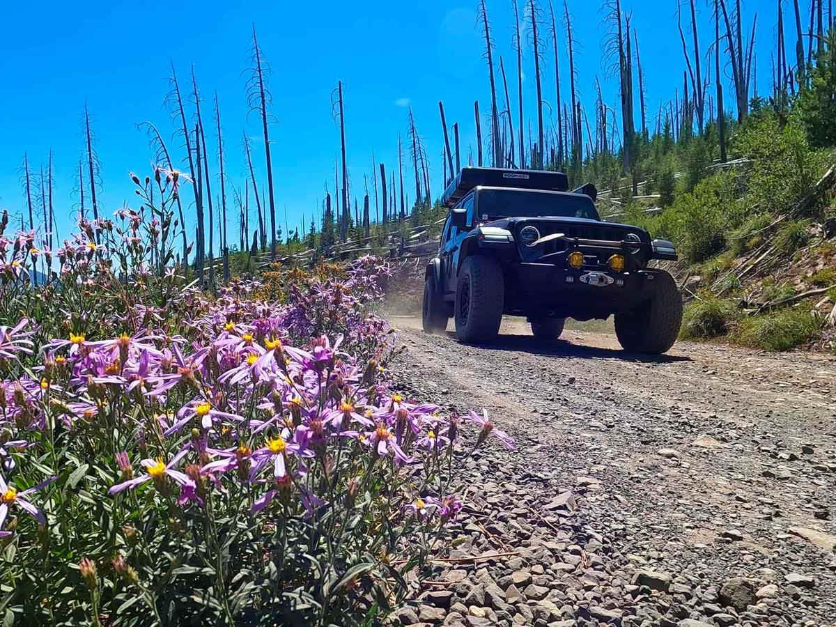
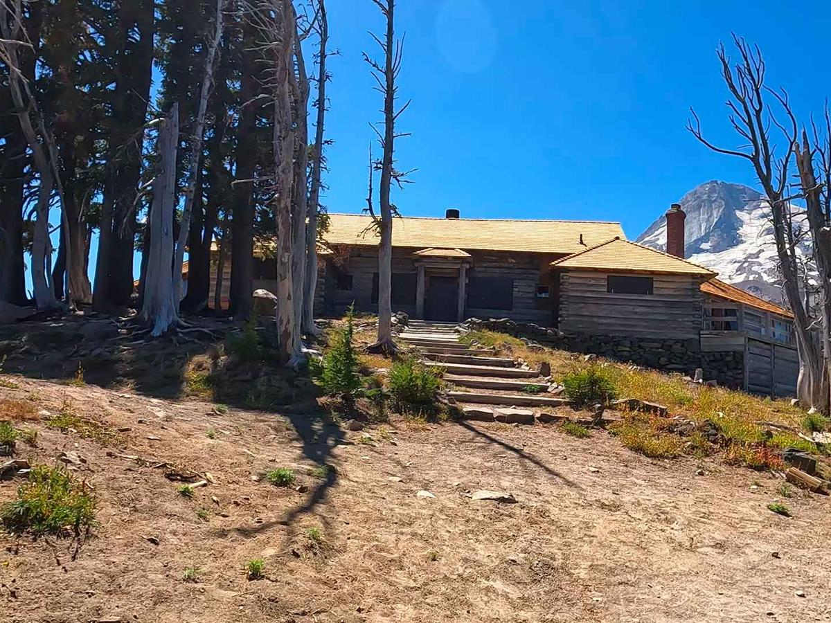
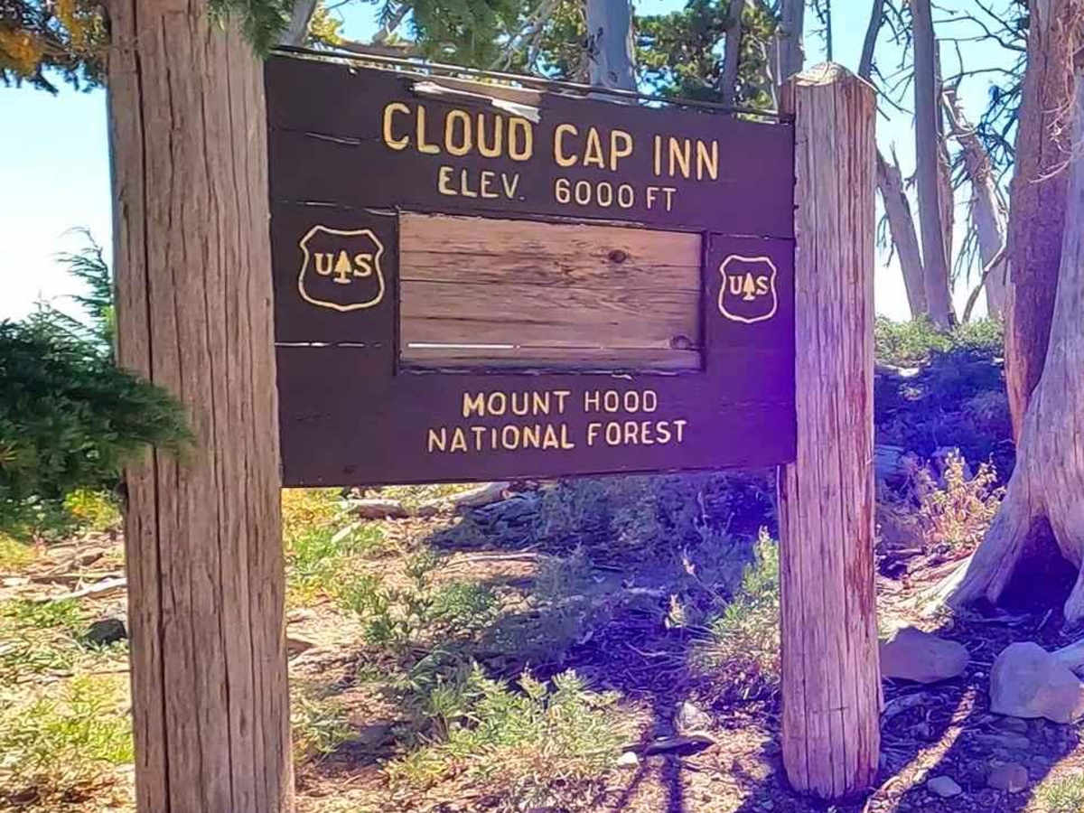
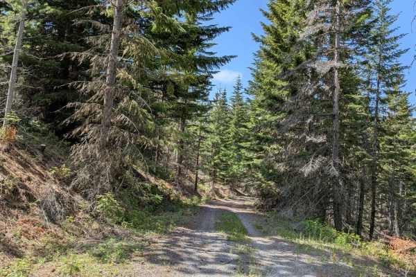
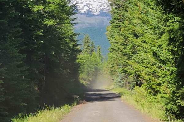
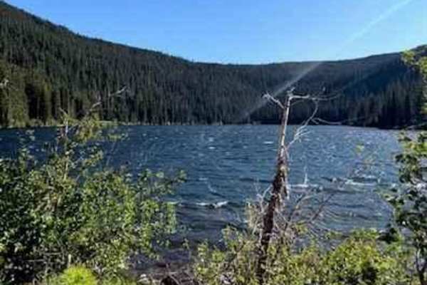
Trail Overview
This trail is an irregular gravel road marked by large rocks, numerous potholes, and segments of profound dust which create the potential to get stuck. Its accessibility varies with the seasons and may be gated due to snowfall or fallen trees during winter. This route allows you to approach the North Face of Mount Hood to enjoy spectacular views from the nearest possible driving point. The road leads up to the old Cloud Cap Inn. This area burned in the 2008 Gnarl Ridge Fire, started by lightning. The landscape is fascinating to see and makes a great day trip to high alpine nature views at 6,000 feet.
History
"Portlanders William M. Ladd, a banker, and Charles Erskine Scott Wood, an attorney and writer, enlisted architect William Whidden to design the approximately 3,500-square-foot inn. They hired Chinese laborers to improve a wagon road up the mountain and started a stagecoach company to transport guests. Hood River men cut the lumber and built the inn, named by Wood's wife, Nanny. In its heyday, Cloud Cap featured fine dining, flush toilets, room to sleep thirty guests, and a gasp-worthy view of the 11,239-foot summit. In 1891, Ladd and Wood turned the inn's operation over to James L. and Sarah Langille, who gave it a homier feel and added telephone service. They ran Cloud Cap for sixteen years, until their nephew, Horace Mecklem, took over. Homer Rogers, a Parkdale innkeeper, bought Cloud Cap in 1919. He sold it to Cascade Development Corporation. With a loop highway planned for Mount Hood, the developers envisioned a lavish, enlarged hotel and a tram to the summit. The Great Depression dashed that dream, and once Timberline Lodge was built in 1935, Cloud Cap could not compete. The U.S. Forest Service paid $2,000 for the inn in 1940, but it fell into disrepair and closed in 1946. The agency planned to raze Cloud Cap, but in the 1950s, the Crag Rats mountain rescue group negotiated to maintain it if they could use Cloud Cap for snow surveys, rescue operations, and outings, as they do still. Since 1999, the Crag Rats have coordinated extensive renovations in an effort to preserve Cloud Cap. The inn is closed to the public, although periodically the Crag Rats or U.S. Forest Service offer tours." (Copied from https://www.oregonencyclopedia.org/articles/cloud_cap_inn/)