
Dirt Bike Trails
Near Many Farms, Arizona
Explore All Dirt Bike Trails Near Many Farms, Arizona
Dirt Bike Trails Near Many Farms, Arizona
Discover the best dirt bike trails near you. Browse trail maps, check difficulty ratings, and find your next adventure — whether you're looking for a quick ride or an all-day expedition.

Mexican Hat Ranch Road
This is an interesting drive past the local landfill. A high-clearance 4x4 is highly recommended. The road is a mix of dirt, gravel, and rocks, and some of the terrain is uneven. The parking areas are at the end of the road--the farthest one is about 1 mile out. There are low points and great vistas...
Learn more about Mexican Hat Ranch Road
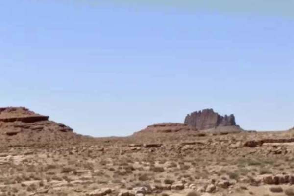
CR 244 Johns Canyon Road
This is a graded dirt road, maintained sometimes. There are several side roads you can take. You'll see open desert terrain but have views of the rims and cliffs as you drive down the road. This road starts from CR 316 heading west. CR 244 continues beyond this track, heading farther west and north....
Learn more about CR 244 Johns Canyon Road
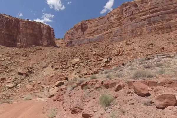
Johns Canyon Road - West
Johns Canyon Road - West is a 12.4-mile out-and-back (33.6-mile round trip from pavement) trail rated 2 of 10 located within the Glen Canyon National Recreational Area. The Johns Canyon Road is located near Mexican Hat, Utah. The road skirts the base of Cedar Mesa between Cedar Point and the Slickho...
Learn more about Johns Canyon Road - West
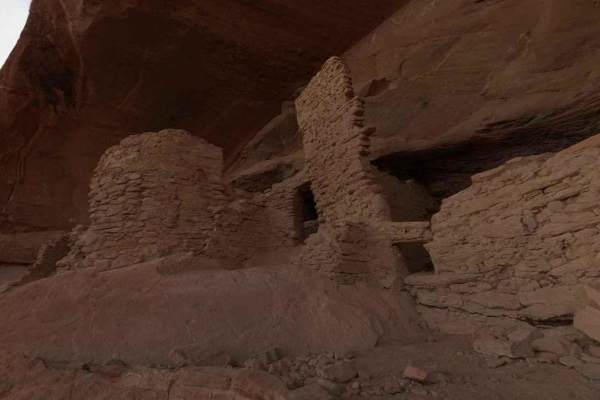
Comb Ridge
Comb Ridge is a 5.6-mile (11.2-mile round trip) out-and-back trail rated 3 of 10 located on the southern end of the Bear Ears National Monument. This trail is also known as the road to River House. This trail is rich in history both in Pre-Puebloan as well as the early Mormon settlers. This mostly h...
Learn more about Comb Ridge
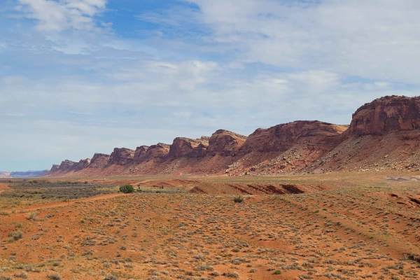
Comb Wash Road
Comb Wash Road follows the iconic Comb Ridge. The road itself is on BLM land and is suitable for most all-terrain vehicles. There are some water crossings in the Spring or when storms are nearby, so be careful to pay attention to weather reports. There are many side trails that lead to petroglyphs a...
Learn more about Comb Wash Road
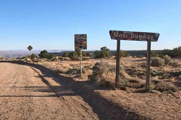
Moki Dugway
Moki Dugway (UT Highway 261) is one of the most memorable drives in southeast Utah, climbing the face of Cedar Mesa on a steep, winding stretch of unpaved road. This 2.7-mile section of Utah State Route 261 was carved directly into the cliffside in the 1950s and still feels raw today, with gravel su...
Learn more about Moki Dugway
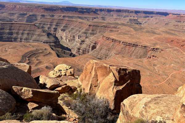
Muley Point
This route follows a gravel road that is easy to navigate when dry, but a high-clearance vehicle with 4WD is preferred. It offers great viewpoints of the San Juan River Canyon. Starting from Highway 261 on Cedar Mesa at the top of Moki Dugway, it is best traveled in dry conditions, as the road will ...
Learn more about Muley Point
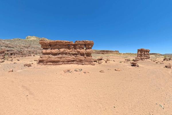
Recapture Pocket
This trail leads to Recapture Pocket, a scenic collection of hoodoos and cliffs. The trail north of Recapture Pocket is a very lightly used oil field access network, with rocky and sandy sections. Some of the more remote sections include rock ledges, sand dunes, and other challenges. A stock 4x4 or ...
Learn more about Recapture Pocket
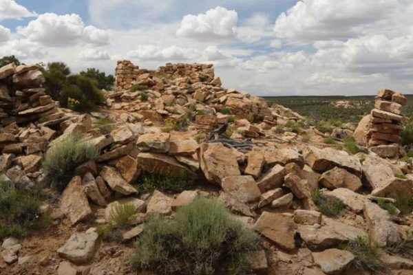
BLM B0057 - Lime Butte Ruins
BLM B0057 is a 1.3-mile out-and-back (2.6-mile round trip) trail rated 3 of 10 located in San Juan County. This is a destination trail to the Lime Butte Ruins located on Cedar Mesa and within the Bear Ears National Monument. The trail is a single-width sand track that leads to the boundary of the Ro...
Learn more about BLM B0057 - Lime Butte Ruins
ATV trails near Many Farms, Arizona
Explore ATV-friendly trails near you. These trails are accessible for vehicles up to 50 inches wide, perfect for ATVs and smaller off-road machines.
Mexican Hat Ranch Road
This is an interesting drive past the local landfill. A high-clearance 4x4 is highly recommended. The road is a mix of dirt, gravel, and rocks, and some of the terrain is uneven. The parking areas are at the end of the road--the farthest one is about 1 mile out. There are low points and great vistas...
Learn more about Mexican Hat Ranch Road
CR 244 Johns Canyon Road
This is a graded dirt road, maintained sometimes. There are several side roads you can take. You'll see open desert terrain but have views of the rims and cliffs as you drive down the road. This road starts from CR 316 heading west. CR 244 continues beyond this track, heading farther west and north....
Learn more about CR 244 Johns Canyon Road
Johns Canyon Road - West
Johns Canyon Road - West is a 12.4-mile out-and-back (33.6-mile round trip from pavement) trail rated 2 of 10 located within the Glen Canyon National Recreational Area. The Johns Canyon Road is located near Mexican Hat, Utah. The road skirts the base of Cedar Mesa between Cedar Point and the Slickho...
Learn more about Johns Canyon Road - West
Comb Ridge
Comb Ridge is a 5.6-mile (11.2-mile round trip) out-and-back trail rated 3 of 10 located on the southern end of the Bear Ears National Monument. This trail is also known as the road to River House. This trail is rich in history both in Pre-Puebloan as well as the early Mormon settlers. This mostly h...
Learn more about Comb Ridge
UTV/side-by-side trails near Many Farms, Arizona
Find UTV and side-by-side trails near you. These trails accommodate vehicles up to 60 inches wide, ideal for UTVs, side-by-sides, and wider off-road rigs.
Mexican Hat Ranch Road
This is an interesting drive past the local landfill. A high-clearance 4x4 is highly recommended. The road is a mix of dirt, gravel, and rocks, and some of the terrain is uneven. The parking areas are at the end of the road--the farthest one is about 1 mile out. There are low points and great vistas...
Learn more about Mexican Hat Ranch Road
CR 244 Johns Canyon Road
This is a graded dirt road, maintained sometimes. There are several side roads you can take. You'll see open desert terrain but have views of the rims and cliffs as you drive down the road. This road starts from CR 316 heading west. CR 244 continues beyond this track, heading farther west and north....
Learn more about CR 244 Johns Canyon Road
Johns Canyon Road - West
Johns Canyon Road - West is a 12.4-mile out-and-back (33.6-mile round trip from pavement) trail rated 2 of 10 located within the Glen Canyon National Recreational Area. The Johns Canyon Road is located near Mexican Hat, Utah. The road skirts the base of Cedar Mesa between Cedar Point and the Slickho...
Learn more about Johns Canyon Road - West
Comb Ridge
Comb Ridge is a 5.6-mile (11.2-mile round trip) out-and-back trail rated 3 of 10 located on the southern end of the Bear Ears National Monument. This trail is also known as the road to River House. This trail is rich in history both in Pre-Puebloan as well as the early Mormon settlers. This mostly h...
Learn more about Comb Ridge
The onX Offroad Difference
onX Offroad combines trail photos, descriptions, difficulty ratings, width restrictions, seasonality, and more in a user-friendly interface. Available on all devices, with offline access and full compatibility with CarPlay and Android Auto. Discover what you're missing today!
Open Trail Map