
Dirt Bike Trails
Near Lakeview, Arkansas
Explore All Dirt Bike Trails Near Lakeview, Arkansas
Dirt Bike Trails Near Lakeview, Arkansas
Discover the best dirt bike trails near you. Browse trail maps, check difficulty ratings, and find your next adventure — whether you're looking for a quick ride or an all-day expedition.
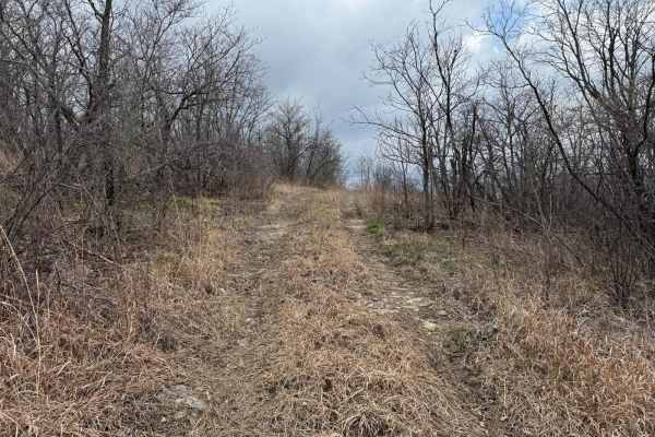
Washington Bald - FSR 148A
Washington Bald Forest Service Road (FSR) 148A is an offshoot trail from Bald Tower - FSR148. This trail will run you along a small rock shelf to an opening where you will have scenic views of the rolling hill and radio towers. There is a nice opening on the ridge where you can turn around.
Learn more about Washington Bald - FSR 148A
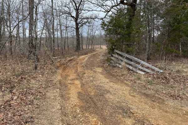
Bald Tower - FSR 148
Bald Tower - Forest Service Road (FSR) 148 is an out and back trail that leads you to an open area where you can see 2 radio towers. Due to the lack of travel in some spots the trail is hard to see, pay close attention to the tire tracks as best as you can. At the end you will have a scenic view of ...
Learn more about Bald Tower - FSR 148
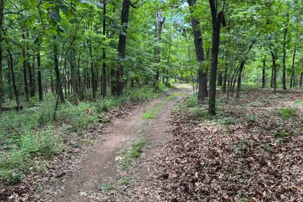
91017B
This route begins with direct access off Highway 341 and quickly transitions into a lightly maintained forest trail winding through dense pine and hardwood forest. Along the route, drivers will pass through open grassy meadows before re-entering tighter wooded sections with narrow corridors and over...
Learn more about 91017B
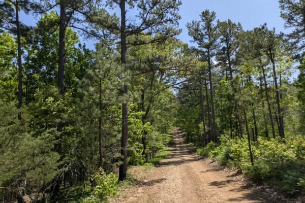
Merrill Ridge
This narrow trail features a grassy center and winds gently through a beautiful forest landscape. While mostly smooth, it does have some bumpy sections that require attention. Numerous offshoots and smaller trails invite further exploration, and the area appears to be a popular spot for local hunter...
Learn more about Merrill Ridge
FSR 147A
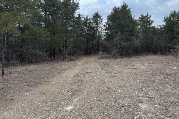
Forest Service Road (FSR) 147A is an out and back trail that shoots off of Glade Top South - FS 147. You will be taken through the woods to a larger clearing so that you can turn around. As of 2024 MVUMs this is where the legal motorized use ends.
Learn more about FSR 147A
Pet Hollow - FS 507A
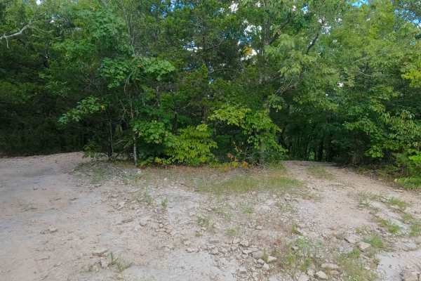
Pet Hollow FS 507A is a natural terrain forest service road within the Mark Twain National Forest Ava Unit, branching off the FS 507, as a part of the greater Glade Top National Forest Scenic Byway area. Pet Hollow FS 507A, leaves the Tennyson Hollow FS 507, heading east and slightly downhill toward...
Learn more about Pet Hollow - FS 507A
Barkshed Road
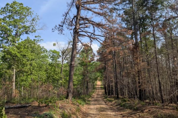
This trail offers a rewarding experience for those seeking both adventure and some of the best dispersed camping in this part of the Ozarks. It begins as a wide, smooth, and well-maintained road, but once past the trailhead, the terrain quickly becomes more challenging and engaging. Drivers will enc...
Learn more about Barkshed Road
County Road 74
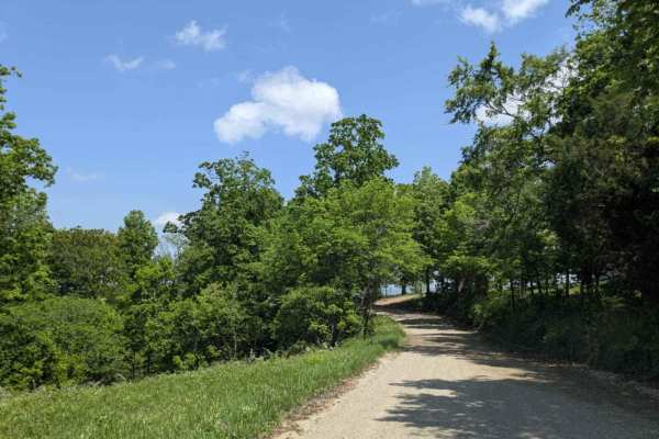
This trail offers both scenic beauty and a sense of historical significance as it climbs to the top of the mountain, where expansive views of the valley below reward the effort. Once an important route for the local community, it still passes numerous private properties, with old homesteads, derelic...
Learn more about County Road 74
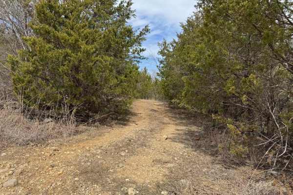
Jones Ridge - FSR 175
Jones Ridge - Forest Service Road (FSR) 175 is an out-and-back trail that shoots off of County Road 919. This trail is just under 1.5 miles long and has some interesting relics along the way. You will come across some very old car parts lying on one side of the trail. As well as a few game cameras, ...
Learn more about Jones Ridge - FSR 175
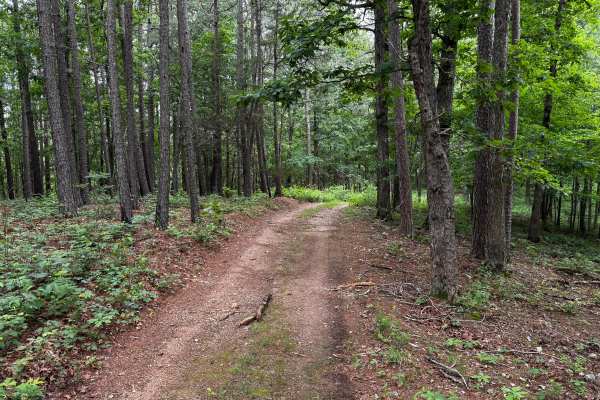
Ashley
This route quickly separates itself from the easier forest roads in the area by introducing more technical terrain, tighter conditions, and multiple off-camber obstacles. The route narrows down to essentially one vehicle width as it winds through dense hardwood and pine forest, leaving very few oppo...
Learn more about Ashley
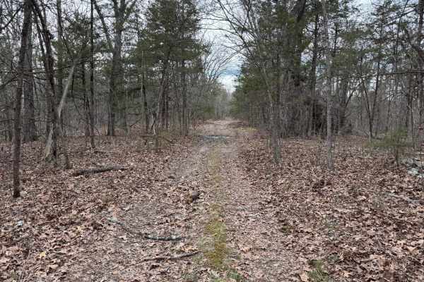
Fairview Church - FSR 170
Fairview Church Forest Service Road (FSR) 170 is a short 1-mile-long trail that ends just before you reach private property. The trail has been blocked with large trees in the area to prevent people from driving into the private property. You can travel southeast on the trail, but be cautious as the...
Learn more about Fairview Church - FSR 170
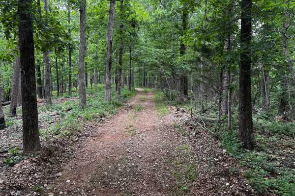
Cap Fork
This route is one of the easier and more maintained trails in the area, making it a good option for stock high-clearance 4WD vehicles or newer off-roaders looking for a relaxed forest drive. The route winds through dense hardwood and pine forest with a mix of gravel, packed dirt, and light rock scat...
Learn more about Cap Fork
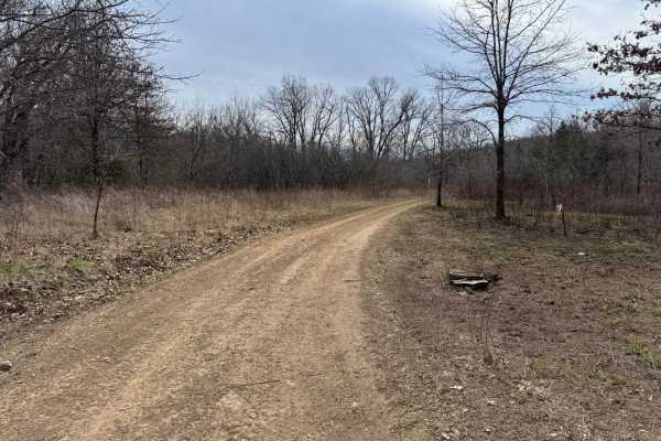
Gary Hollow - FSR 510A
Gary Hollow Forest Service Road (FSR) 510A is an off shoot trail of Short Hollow - FS 510. It offers a variety of terrain and obstacles, ranging from rocky sections, mud holes, and a water crossing. The most notable spot along this trail is the swimming hole that is located along the creek.
Learn more about Gary Hollow - FSR 510A
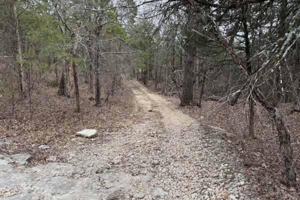
Fairview Connection - FSR 170A
Fairview Connection Forest Service Road (FSR) 170A is an offshoot trail of West Fork West - FS 509. This trail will connect you to Fairview Church - FSR 170 at the other end. Due to the number of trees that have fallen onto the path, this trail has become tight as you zigzag your way in between the ...
Learn more about Fairview Connection - FSR 170A

91079B
This route travels through a dense forest filled with tall hardwoods and pines, creating a quiet and enclosed feel for most of the drive. The trail itself is narrow with a gravel base and only wide enough for a single vehicle in many sections. While there are very few technical obstacles, there are ...
Learn more about 91079B
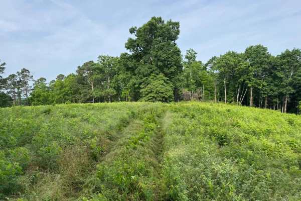
91033C
This is an easy out-and-back forest route that can also be used to access sections of the Ozark Highlands Hiking Trail. The trail winds through dense hardwood forest, narrow tree-lined corridors, and a few open grassy clearings that provide brief views before the route disappears back into the timbe...
Learn more about 91033C
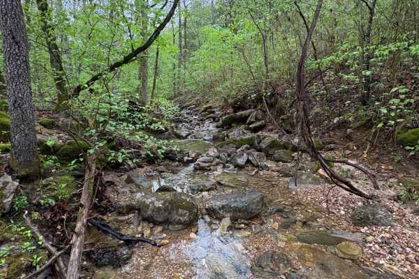
Spring Creek Falls
This trail is located on the eastern side of the Ozark National Forrest. This trail shares the side of the Ozark National Forrest and one side with the Leatherwood Wilderness Management area. Use caution, as well as always double-check MVUM to be sure you are on the correct trail, as Leatherwood Wil...
Learn more about Spring Creek Falls
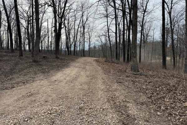
FSR 912
Forest Service Road (FSR) 912 is connected at both ends to Glade Top Southwest - FS 149. It is located on the northern side of the Glade Top Trail. FSR 912 offers a variety of obstacles from rocky sections, to tight squeezes between trees, to smaller creek crossings. If you are looking for something...
Learn more about FSR 912
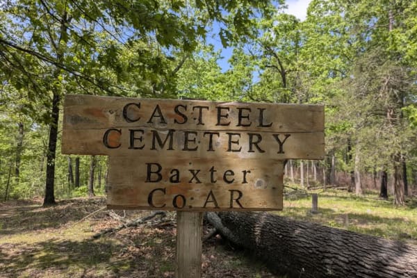
Casteel Road
This off-road trail is ideal for adventurers seeking dispersed camping opportunities, featuring a tight, winding route that remains accessible even as it branches into numerous side trails best explored by compact vehicles or side-by-sides. The trail follows along a scenic ridge and offers a predomi...
Learn more about Casteel Road

FSR 91033C
This trail is fairly simple overall and makes for an easy scenic drive through the forest. The route winds through a mix of dense woods and open grassy clearings, with stretches of narrow two-track cutting between tall trees and thick green undergrowth. In several areas, the trail becomes tighter wi...
Learn more about FSR 91033C
ATV trails near Lakeview, Arkansas
Explore ATV-friendly trails near you. These trails are accessible for vehicles up to 50 inches wide, perfect for ATVs and smaller off-road machines.
Washington Bald - FSR 148A
Washington Bald Forest Service Road (FSR) 148A is an offshoot trail from Bald Tower - FSR148. This trail will run you along a small rock shelf to an opening where you will have scenic views of the rolling hill and radio towers. There is a nice opening on the ridge where you can turn around.
Learn more about Washington Bald - FSR 148A
Bald Tower - FSR 148
Bald Tower - Forest Service Road (FSR) 148 is an out and back trail that leads you to an open area where you can see 2 radio towers. Due to the lack of travel in some spots the trail is hard to see, pay close attention to the tire tracks as best as you can. At the end you will have a scenic view of ...
Learn more about Bald Tower - FSR 148
91017B
This route begins with direct access off Highway 341 and quickly transitions into a lightly maintained forest trail winding through dense pine and hardwood forest. Along the route, drivers will pass through open grassy meadows before re-entering tighter wooded sections with narrow corridors and over...
Learn more about 91017B
Merrill Ridge
This narrow trail features a grassy center and winds gently through a beautiful forest landscape. While mostly smooth, it does have some bumpy sections that require attention. Numerous offshoots and smaller trails invite further exploration, and the area appears to be a popular spot for local hunter...
Learn more about Merrill Ridge
UTV/side-by-side trails near Lakeview, Arkansas
Find UTV and side-by-side trails near you. These trails accommodate vehicles up to 60 inches wide, ideal for UTVs, side-by-sides, and wider off-road rigs.
Washington Bald - FSR 148A
Washington Bald Forest Service Road (FSR) 148A is an offshoot trail from Bald Tower - FSR148. This trail will run you along a small rock shelf to an opening where you will have scenic views of the rolling hill and radio towers. There is a nice opening on the ridge where you can turn around.
Learn more about Washington Bald - FSR 148A
Bald Tower - FSR 148
Bald Tower - Forest Service Road (FSR) 148 is an out and back trail that leads you to an open area where you can see 2 radio towers. Due to the lack of travel in some spots the trail is hard to see, pay close attention to the tire tracks as best as you can. At the end you will have a scenic view of ...
Learn more about Bald Tower - FSR 148
91017B
This route begins with direct access off Highway 341 and quickly transitions into a lightly maintained forest trail winding through dense pine and hardwood forest. Along the route, drivers will pass through open grassy meadows before re-entering tighter wooded sections with narrow corridors and over...
Learn more about 91017B
Merrill Ridge
This narrow trail features a grassy center and winds gently through a beautiful forest landscape. While mostly smooth, it does have some bumpy sections that require attention. Numerous offshoots and smaller trails invite further exploration, and the area appears to be a popular spot for local hunter...
Learn more about Merrill Ridge
The onX Offroad Difference
onX Offroad combines trail photos, descriptions, difficulty ratings, width restrictions, seasonality, and more in a user-friendly interface. Available on all devices, with offline access and full compatibility with CarPlay and Android Auto. Discover what you're missing today!
Open Trail Map