
Dirt Bike Trails
Near La Pine, Oregon
Explore All Dirt Bike Trails Near La Pine, Oregon
Dirt Bike Trails Near La Pine, Oregon
Discover the best dirt bike trails near you. Browse trail maps, check difficulty ratings, and find your next adventure — whether you're looking for a quick ride or an all-day expedition.
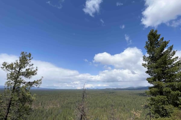
Finley Butte
Finley Butte sits at an elevation of 4,747 feet and is a 2-mile bumpy washboard road that leads to the top of an old Lava Butte. Here there is a large camping area with plenty of space for parking several rigs. The views face west so you get these beautiful sunsets that fall over the Cascade Mountai...
Learn more about Finley Butte
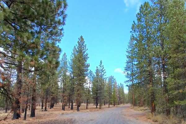
Pipeline #2215
Pipeline Road #2215 runs through the Deschutes National Forest, it is an easy gravel road with some sections being a little washboard, other than that this road is very smooth and flat. The road offers access to multiple OHV trails and camping spots. It is a part of the East Fork Rock OHV trail syst...
Learn more about Pipeline #2215
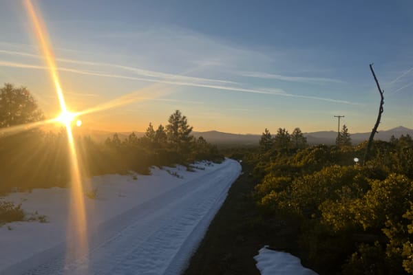
Paulina Falls
This can be an easy trail depending on the amount of snowfall over the winter. Double-check with the Forest Service for open dates; the last time I checked, it was September 16th to April 30th. Once you turn right off McKay BU Road and onto Forest Service Road 9736500 (Newberry Trail), you will begi...
Learn more about Paulina Falls
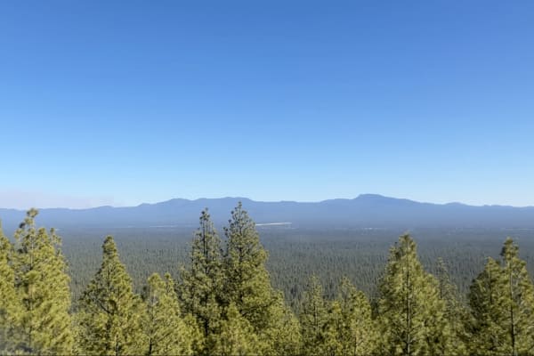
Pringle Butte Trail
Pringle Butte is a pretty level drive with a few bumps here and there until you reach the summit. The summit seems intimidating at first. You might want to use 4-low. You can bring rear-axle lockers, but you probably won't need them. There will be dips and loose rocks, but don't slow down until you ...
Learn more about Pringle Butte Trail
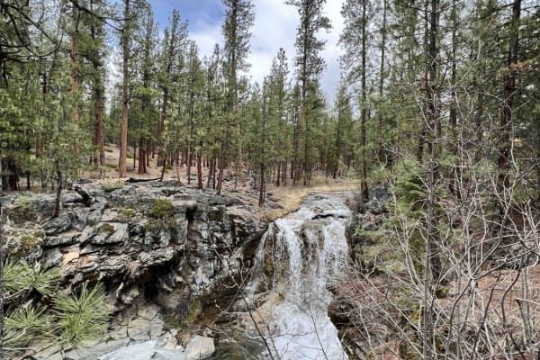
McKay Crossing 2120
McKay Crossing 2120 which is located in the Deschutes National Forest is the gateway to a very large area for recreation. It starts with the trailhead for the Peter Skene Ogden trail which is a 16.8-mile trail system that leads you up to Pauline Lake. This trail in particular has several waterfalls ...
Learn more about McKay Crossing 2120
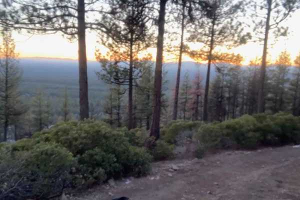
McKay Butte
All things considered, McKay Butte is an easy climb. A standard four-wheel drive or a determined Subaru can make it without any issues (be aware of Murphy's Law). The climb is somewhat steep at the end, and you may begin to doubt that you will make it, however, it is short-lived. Then you're at the ...
Learn more about McKay Butte
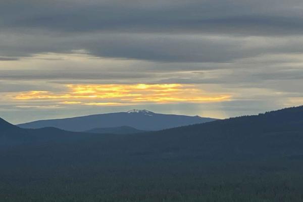
Pistol Butte Summit
The trailhead to Pistol Butte has a gate (it was open upon my arrival on 10/14/23). It will take about an hour to summit and an hour to return. Add a couple of hours for those things that might happen. The beginning of the trail is not timid, as you can feel the incline and loose rocks slipping unde...
Learn more about Pistol Butte Summit
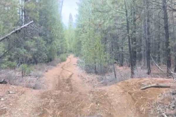
Sitkum Butte
Sitkum Butte, this forest road trail begins with a set of moguls, they are pretty steep but spread far enough apart that just about any four wheel drive can conquer them. The majority of the trail after that is relatively timid, although tight, with brush and small obstacles. As you reach just over ...
Learn more about Sitkum Butte
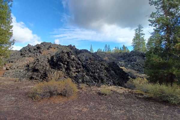
Jones Well #2121
Jones Well Road #2121 is an easy road with some sections having washboards, there is one small spot that is becoming rutted from a small stream that runs through it during the wet seasons. The road drives through the Deschutes National Forest and is a part of the East Fork Rock OHV trail system so i...
Learn more about Jones Well #2121
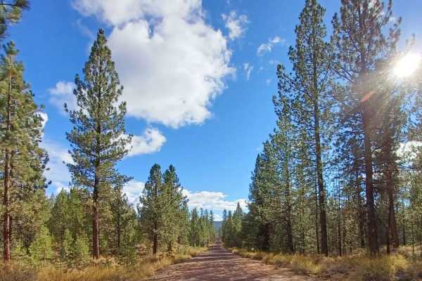
Green BU #2222
Green BU Road #2222 is an easy gravel road that is smooth and flat, however, some sections have washboards on them. The road runs through the Deschutes National Forest and is inside the East Fork Rock OHV trail system so it can get busy with activities. If you are looking for camp this road has a co...
Learn more about Green BU #2222
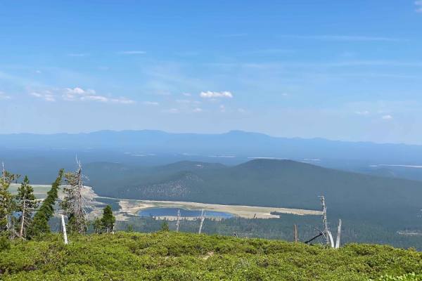
Sparkys Top
This trail starts on a cinder double-track road that runs the south perimeter of Wickiup Lake. From there, you start traveling upward on a trail named FIR which also is a double track that starts the climb up Davis Mountain. Continuing on this trail, you will be surrounded by forestry with a cinder ...
Learn more about Sparkys Top
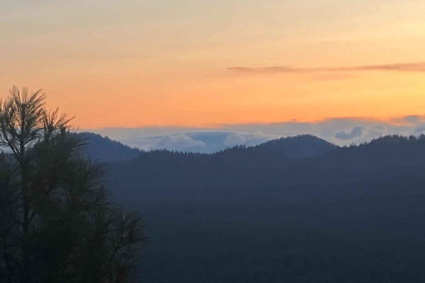
Green Butte Summit
The Green Butte summit isn't for a passenger scared of heights or a driver who will buy new tires next week. It's not a technical drive at all. There is only one switchback (if you want to call it that), but the entire trail is pretty vertical and on what could be termed a shelf road. You do not wan...
Learn more about Green Butte Summit
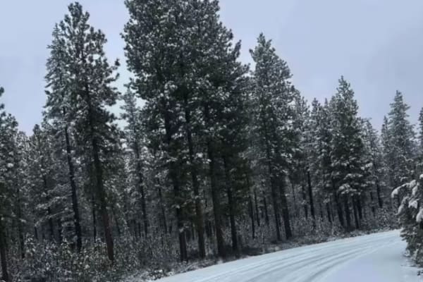
Forest Road 4100-000
This is a very wide Forest Service Road that is accessible to all vehicle types. The surface is gravel during spring, summer, and fall, with the potential for snow cover at times in winter. It offers an easy forest drive with access to many connecting trails of varying difficulty, and downed trees a...
Learn more about Forest Road 4100-000
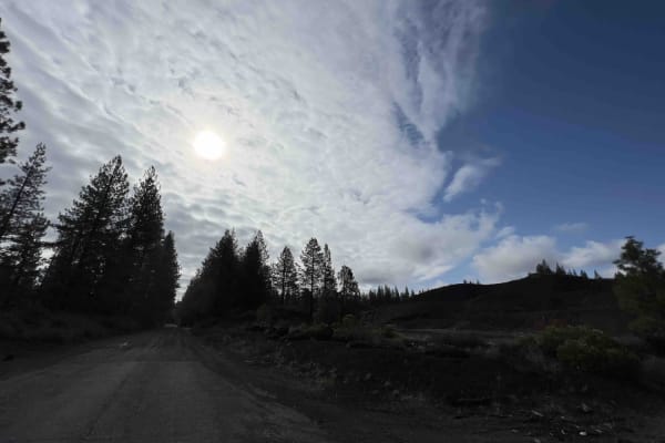
Lava Cast Forest 9720
Lava Cast forest road 9720 is a 8.5 mile gravel road that winds through the Deschutes National Forest eventually bringing you to the Lava Cast Forest loop trail. This trail is a one-mile loop that leads you through the 6,000-year-old lava flows that once took over this area. The facilities here are ...
Learn more about Lava Cast Forest 9720
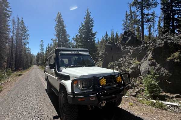
Siah Butte Road
Siah Butte Road is a predominantly gravel road that starts on 45 and connects to Deschutes Bridge Campground. The eastern portion is surrounded by burnt trees, and the western portion turns to deep central Oregon woods. This trail is accessible by any vehicle type and is open year-round.
Learn more about Siah Butte Road
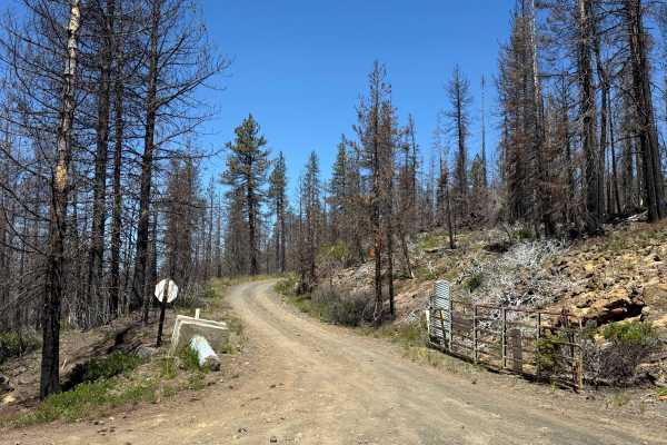
FS 4528
FS 4528 leads from Siah Butte Road up towards the western half of the Edison Trail, as well as some of the other difficult trails below it. The trail itself has some rocky sections on the southern end, but any high-clearance vehicle can make it without issue at all. There are also some nice views of...
Learn more about FS 4528
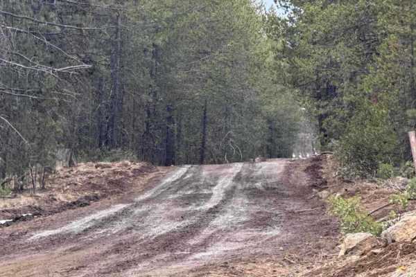
FS 4140-000
This is a pretty fun Forest Service road. Mostly dirt with some small, fairly easy rock gardens, but they are very passable for all ages and experience levels. Will encounter mud after heavy rains and some snow in the winter months. Roads are rutted at times, and as always, be cautious and prepared ...
Learn more about FS 4140-000
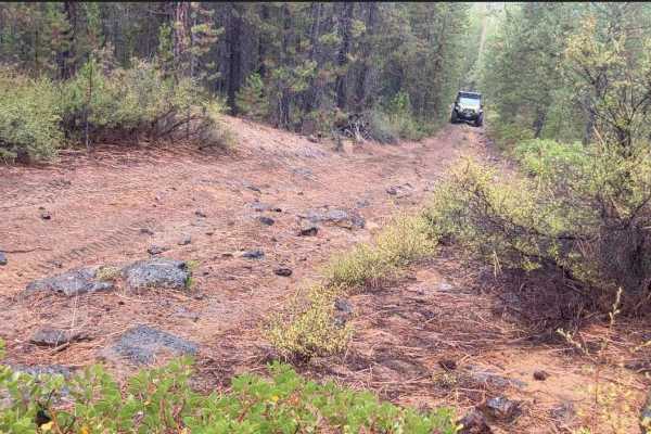
Fuzztail Butte Trail
Coming in off of 97 North on either Lava Cast Road (the long way) or North Paulina Road (easier) you'll be met with washboard roads--you might as well air down. Once you're off the roads and on the trail, things will get narrow but not too rough. Some ups and downs may have you wondering if it will ...
Learn more about Fuzztail Butte Trail
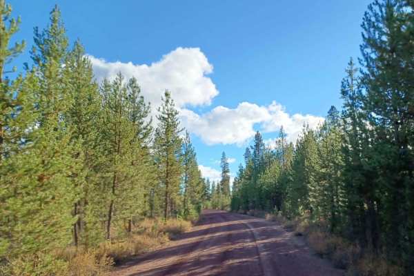
Stage Station #2400
Stage Station Road #2400 is an easy gravel road with some washboarding and a couple of small potholes. The road goes from Highway 31 to Developed Road 22 and drives through the Deschutes National Forest. It offers access to many roads that have camping spots. The road also drives through the East Fo...
Learn more about Stage Station #2400
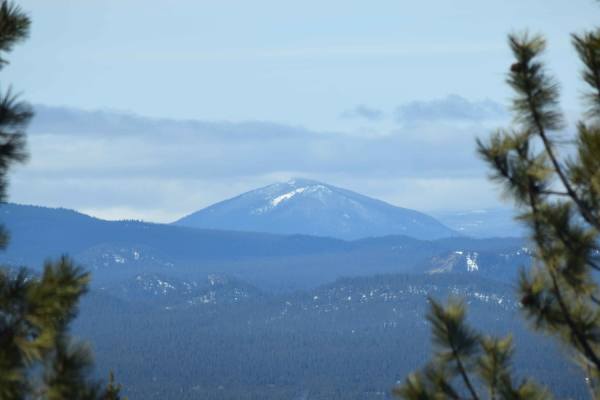
Lava Cast Forest Trail
Just off highway 97 turn onto Sugar Pine Butte Road. Down this trail you will find beautiful lava roads freckled with juniper trees and forests. Gravel washboard roads with mild hill climbs and descents are easy for stock rigs and passable by high clearance 2WD during dry months when snow has passed...
Learn more about Lava Cast Forest Trail
ATV trails near La Pine, Oregon
Explore ATV-friendly trails near you. These trails are accessible for vehicles up to 50 inches wide, perfect for ATVs and smaller off-road machines.
Finley Butte
Finley Butte sits at an elevation of 4,747 feet and is a 2-mile bumpy washboard road that leads to the top of an old Lava Butte. Here there is a large camping area with plenty of space for parking several rigs. The views face west so you get these beautiful sunsets that fall over the Cascade Mountai...
Learn more about Finley Butte
Pipeline #2215
Pipeline Road #2215 runs through the Deschutes National Forest, it is an easy gravel road with some sections being a little washboard, other than that this road is very smooth and flat. The road offers access to multiple OHV trails and camping spots. It is a part of the East Fork Rock OHV trail syst...
Learn more about Pipeline #2215
Paulina Falls
This can be an easy trail depending on the amount of snowfall over the winter. Double-check with the Forest Service for open dates; the last time I checked, it was September 16th to April 30th. Once you turn right off McKay BU Road and onto Forest Service Road 9736500 (Newberry Trail), you will begi...
Learn more about Paulina Falls
Pringle Butte Trail
Pringle Butte is a pretty level drive with a few bumps here and there until you reach the summit. The summit seems intimidating at first. You might want to use 4-low. You can bring rear-axle lockers, but you probably won't need them. There will be dips and loose rocks, but don't slow down until you ...
Learn more about Pringle Butte Trail
UTV/side-by-side trails near La Pine, Oregon
Find UTV and side-by-side trails near you. These trails accommodate vehicles up to 60 inches wide, ideal for UTVs, side-by-sides, and wider off-road rigs.
Finley Butte
Finley Butte sits at an elevation of 4,747 feet and is a 2-mile bumpy washboard road that leads to the top of an old Lava Butte. Here there is a large camping area with plenty of space for parking several rigs. The views face west so you get these beautiful sunsets that fall over the Cascade Mountai...
Learn more about Finley Butte
Pipeline #2215
Pipeline Road #2215 runs through the Deschutes National Forest, it is an easy gravel road with some sections being a little washboard, other than that this road is very smooth and flat. The road offers access to multiple OHV trails and camping spots. It is a part of the East Fork Rock OHV trail syst...
Learn more about Pipeline #2215
Paulina Falls
This can be an easy trail depending on the amount of snowfall over the winter. Double-check with the Forest Service for open dates; the last time I checked, it was September 16th to April 30th. Once you turn right off McKay BU Road and onto Forest Service Road 9736500 (Newberry Trail), you will begi...
Learn more about Paulina Falls
Pringle Butte Trail
Pringle Butte is a pretty level drive with a few bumps here and there until you reach the summit. The summit seems intimidating at first. You might want to use 4-low. You can bring rear-axle lockers, but you probably won't need them. There will be dips and loose rocks, but don't slow down until you ...
Learn more about Pringle Butte Trail
The onX Offroad Difference
onX Offroad combines trail photos, descriptions, difficulty ratings, width restrictions, seasonality, and more in a user-friendly interface. Available on all devices, with offline access and full compatibility with CarPlay and Android Auto. Discover what you're missing today!
Open Trail Map