
Dirt Bike Trails
Near Hyder, Alaska
Explore All Dirt Bike Trails Near Hyder, Alaska
Dirt Bike Trails Near Hyder, Alaska
Discover the best dirt bike trails near you. Browse trail maps, check difficulty ratings, and find your next adventure — whether you're looking for a quick ride or an all-day expedition.
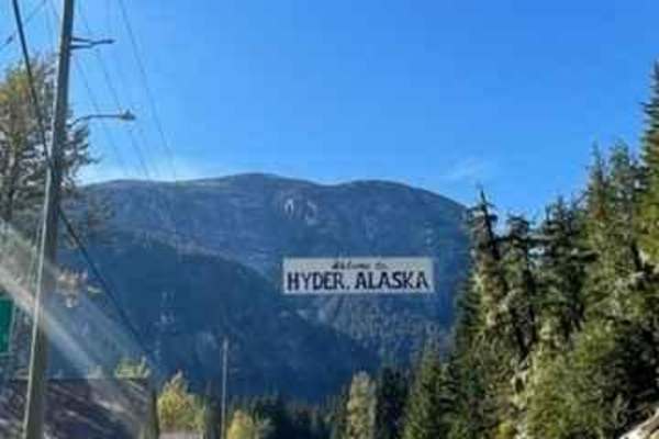
Salmon Glacier Road
This is the gem of trails and a must-see spot in British Columbia. The Salmon Glacier Road takes you up to one of the largest Glaciers in Canada that you can physically drive to. There are a number of pullouts to take in the views of the glacier from a distance as well as nice and close. You have to...
Learn more about Salmon Glacier Road
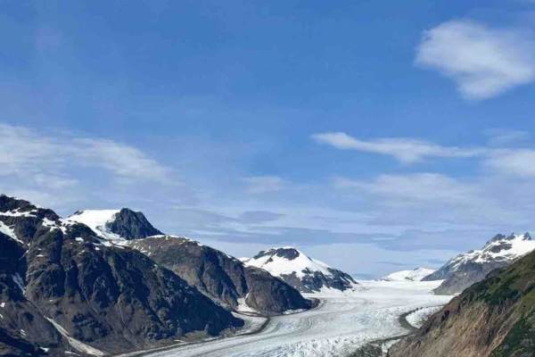
Granduc Road
This segment of Granduc Road runs from the Salmon Glacier lookout east through a glaciated mountain valley to the waypoint at 56.23597, -130.07452. The route follows a wide industrial gravel road with consistent alignment and gentle elevation changes. Under typical summer conditions, the surface is ...
Learn more about Granduc Road

Cassy Road
Cassy Road offers an accessible yet scenic wilderness trek for those seeking to explore the rugged backcountry of British Columbia's Stewart-Cassiar Highway corridor. Spanning approximately 9.8 miles, this route climbs gradually from an elevation of 1,304 feet to a maximum height of 1,710 feet, accu...
Learn more about Cassy Road
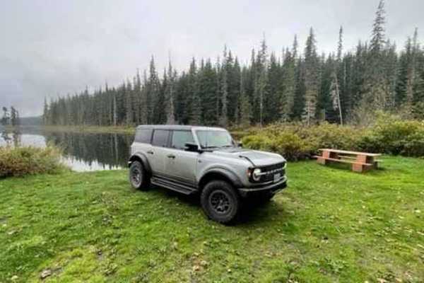
Jigsaw Lake Recreational Site
The road to Jigsaw Lake is well-maintained and has a few bumpy sections. It has some narrow sections with a grown-in brush that could cause pinstripes for a bigger rig. The road does have active logging on it so you should have a radio while traveling down it. There are a number of destinations yo...
Learn more about Jigsaw Lake Recreational Site
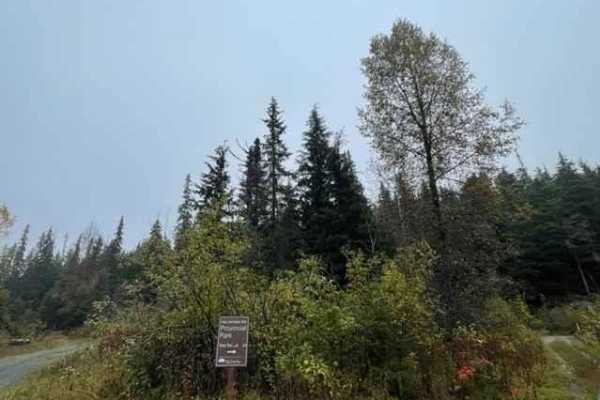
Brown Bear Road
Brown Bear Road is the main line that will take you to a number of recreational/lake sites. From this road, you can explore many different routes. the road gets worse the deeper into the bush you go but overall, it's fully accessible with rough and tight bush locations. I don't believe the road i...
Learn more about Brown Bear Road

Shelter Cove 8340000
Shelter Cove 8340000 is a tree-lined gravel road off of Shelter Cove Road (section 2) that winds along the shoreline, following almost half of Shelter Cove. This road is a one-lane gravel and dirt road with Potholes. There are pull-out areas along the road for passing vehicles. You can find Water...
Learn more about Shelter Cove 8340000

8337000 Road
This is a steep, narrow, winding one-lane rock with a grass centerline trail that is lined with trees, tall grass, shrubs, and ferns. There are a couple of areas where you can pull over to let approaching vehicles pass. This trail has Scenic views overlooking the hills and valleys. You can also s...
Learn more about 8337000 Road
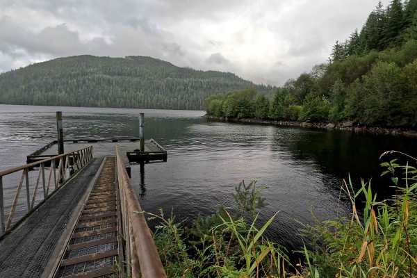
Shelter Cove Road (Section 2)
Shelter Cove section 2 connects to Shelter Cove section 1 with Shelter Cove (Spur road). Shelter Cove Road 2 is a one-lane, hilly, tree-lined, windy, gravel road with potholes and some pull-out areas for passing. There is a nice new wooden bridge at the start, and the road winds around lakes wit...
Learn more about Shelter Cove Road (Section 2)
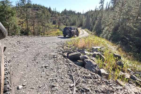
Shelter Cove 8300000
Shelter Cove 8300000 starts where Shelter Cove Road section 1 turns into a Spur road. Shelter Cove is a one-lane gravel with a grass centerline with some smaller potholes and a tree at the start. There is a very short spur road to the left that has a view overlooking the hillside at an old landing...
Learn more about Shelter Cove 8300000

Cranberry Forest Service Road
This is an easy Forest Service Road with several great spots to stop, enjoy river views, or set up camp. It’s a popular route among locals, so expect some traffic and consider using a radio for communication. The surface can be rough in places with washboards and potholes, but it provides a convenie...
Learn more about Cranberry Forest Service Road
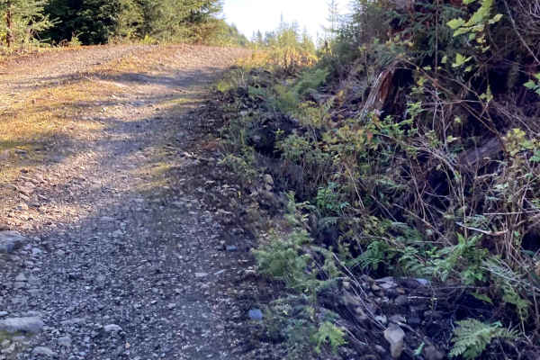
Tripp III
This Road is off of Shelter Cove (Section 1) at the Rock Pit. There is a road between the Rock Pit and the turn to continue on Shelter Cove Road (Section 1). Take the road to the right of the Rock Pitt. This is a hilly, winding, gravel and dirt one-lane road with areas where the road has steep incl...
Learn more about Tripp III
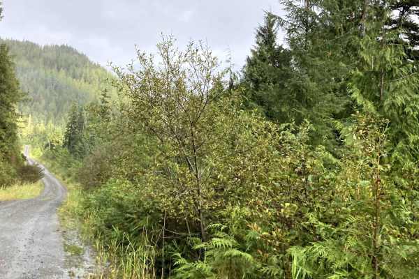
Shelter Cove Road (section 1)
Shelter Cove Road (section 1) starts where Revilla Road ends at the turn-off to Harriet Hunter Road. This section of Shelter Cove Road is mostly Gravel with very large potholes; airing down for comfort is suggested. The road turns into a smaller one-lane that requires pulling over for passing vehic...
Learn more about Shelter Cove Road (section 1)

Revilla Road
Revilla Road Starts at the end of Paved Revilla Road right after Connell Lake Picnic Road and ends at the Harriet Hunt Road turn and Revilla Road becomes where the road turns into Shelter Cove Road. This road is mostly Gravel with very large Potholes. Airing down for comfort is suggested. This roa...
Learn more about Revilla Road
ATV trails near Hyder, Alaska
Explore ATV-friendly trails near you. These trails are accessible for vehicles up to 50 inches wide, perfect for ATVs and smaller off-road machines.
Salmon Glacier Road
This is the gem of trails and a must-see spot in British Columbia. The Salmon Glacier Road takes you up to one of the largest Glaciers in Canada that you can physically drive to. There are a number of pullouts to take in the views of the glacier from a distance as well as nice and close. You have to...
Learn more about Salmon Glacier Road
Granduc Road
This segment of Granduc Road runs from the Salmon Glacier lookout east through a glaciated mountain valley to the waypoint at 56.23597, -130.07452. The route follows a wide industrial gravel road with consistent alignment and gentle elevation changes. Under typical summer conditions, the surface is ...
Learn more about Granduc Road
Cassy Road
Cassy Road offers an accessible yet scenic wilderness trek for those seeking to explore the rugged backcountry of British Columbia's Stewart-Cassiar Highway corridor. Spanning approximately 9.8 miles, this route climbs gradually from an elevation of 1,304 feet to a maximum height of 1,710 feet, accu...
Learn more about Cassy Road
Jigsaw Lake Recreational Site
The road to Jigsaw Lake is well-maintained and has a few bumpy sections. It has some narrow sections with a grown-in brush that could cause pinstripes for a bigger rig. The road does have active logging on it so you should have a radio while traveling down it. There are a number of destinations yo...
Learn more about Jigsaw Lake Recreational Site
UTV/side-by-side trails near Hyder, Alaska
Find UTV and side-by-side trails near you. These trails accommodate vehicles up to 60 inches wide, ideal for UTVs, side-by-sides, and wider off-road rigs.
Salmon Glacier Road
This is the gem of trails and a must-see spot in British Columbia. The Salmon Glacier Road takes you up to one of the largest Glaciers in Canada that you can physically drive to. There are a number of pullouts to take in the views of the glacier from a distance as well as nice and close. You have to...
Learn more about Salmon Glacier Road
Granduc Road
This segment of Granduc Road runs from the Salmon Glacier lookout east through a glaciated mountain valley to the waypoint at 56.23597, -130.07452. The route follows a wide industrial gravel road with consistent alignment and gentle elevation changes. Under typical summer conditions, the surface is ...
Learn more about Granduc Road
Cassy Road
Cassy Road offers an accessible yet scenic wilderness trek for those seeking to explore the rugged backcountry of British Columbia's Stewart-Cassiar Highway corridor. Spanning approximately 9.8 miles, this route climbs gradually from an elevation of 1,304 feet to a maximum height of 1,710 feet, accu...
Learn more about Cassy Road
Jigsaw Lake Recreational Site
The road to Jigsaw Lake is well-maintained and has a few bumpy sections. It has some narrow sections with a grown-in brush that could cause pinstripes for a bigger rig. The road does have active logging on it so you should have a radio while traveling down it. There are a number of destinations yo...
Learn more about Jigsaw Lake Recreational Site
The onX Offroad Difference
onX Offroad combines trail photos, descriptions, difficulty ratings, width restrictions, seasonality, and more in a user-friendly interface. Available on all devices, with offline access and full compatibility with CarPlay and Android Auto. Discover what you're missing today!
Open Trail Map