Trail Overview
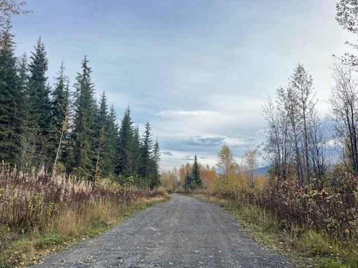
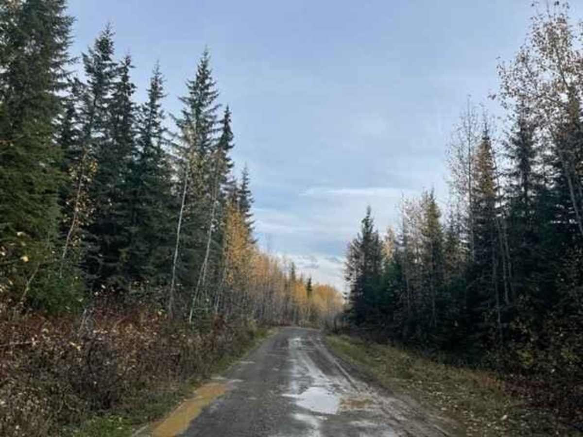
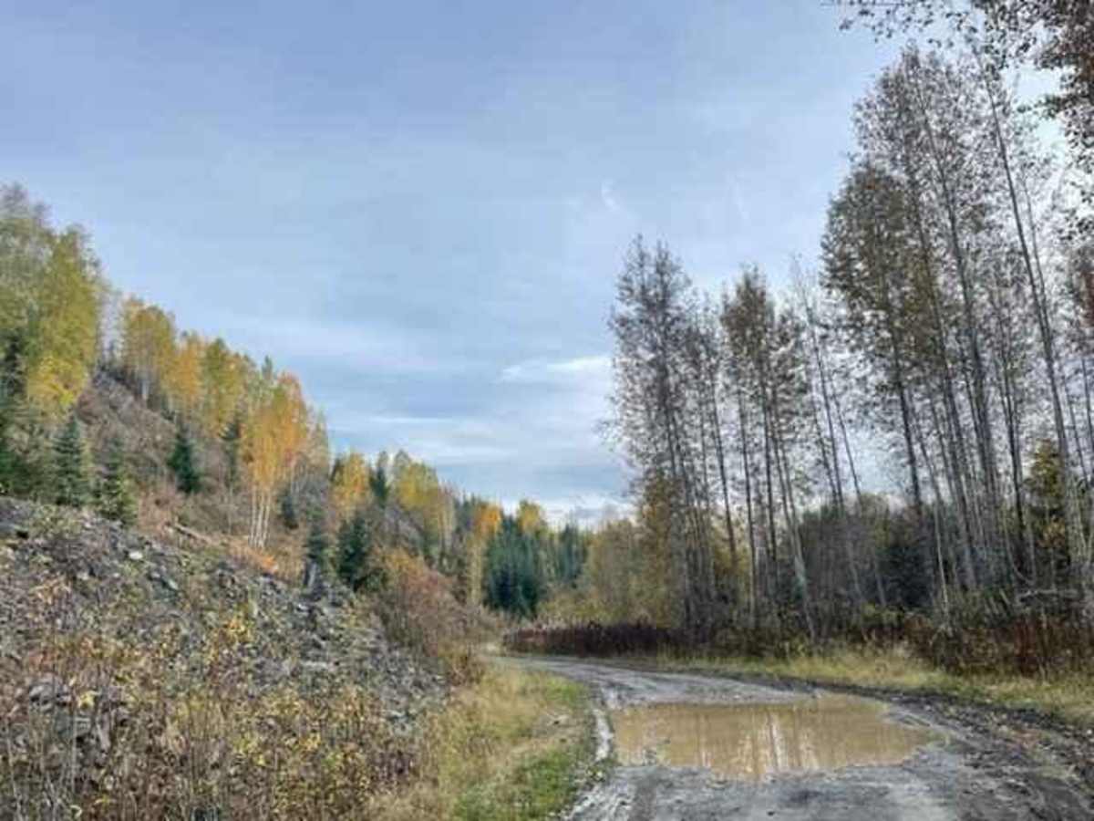
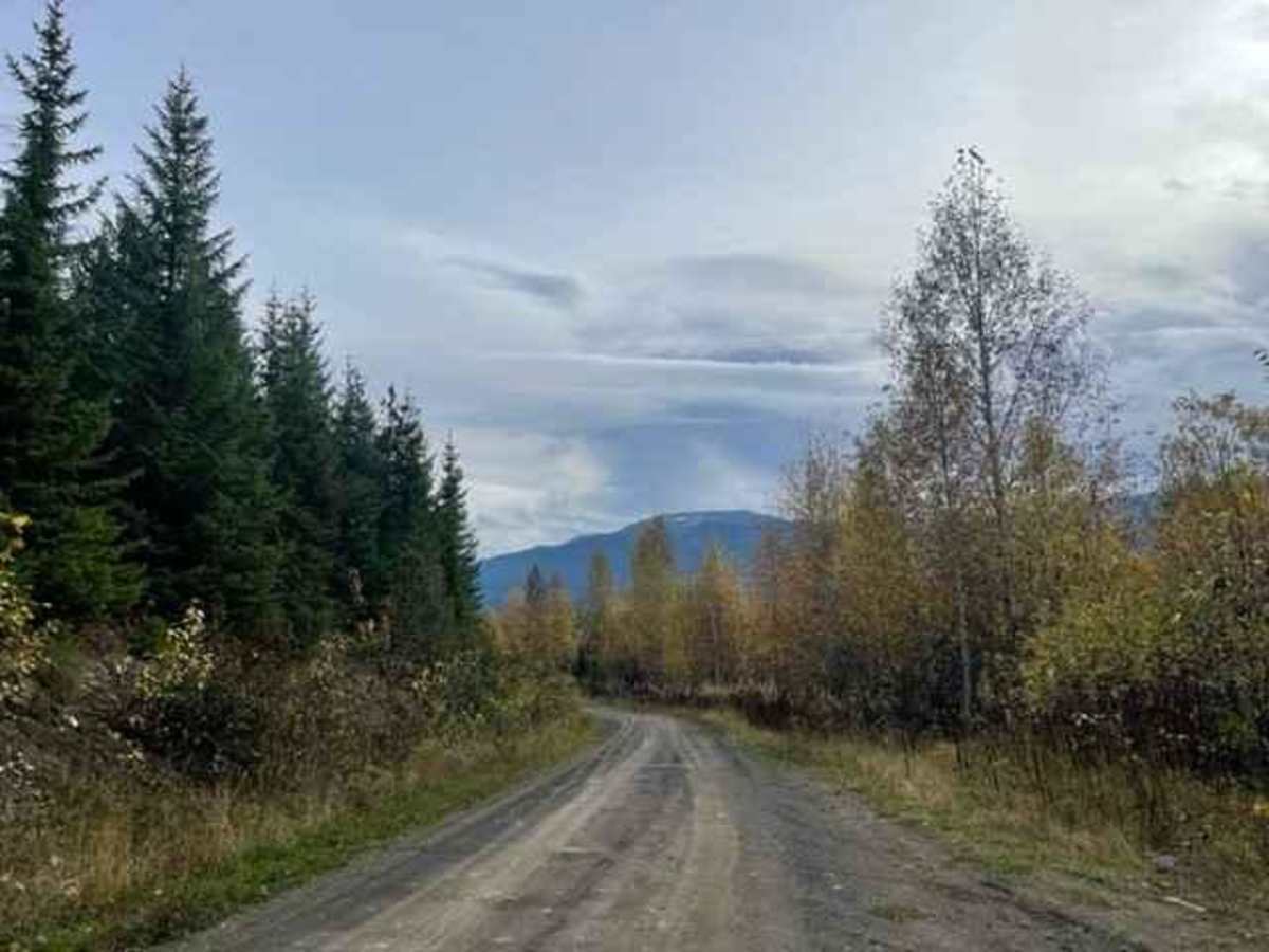
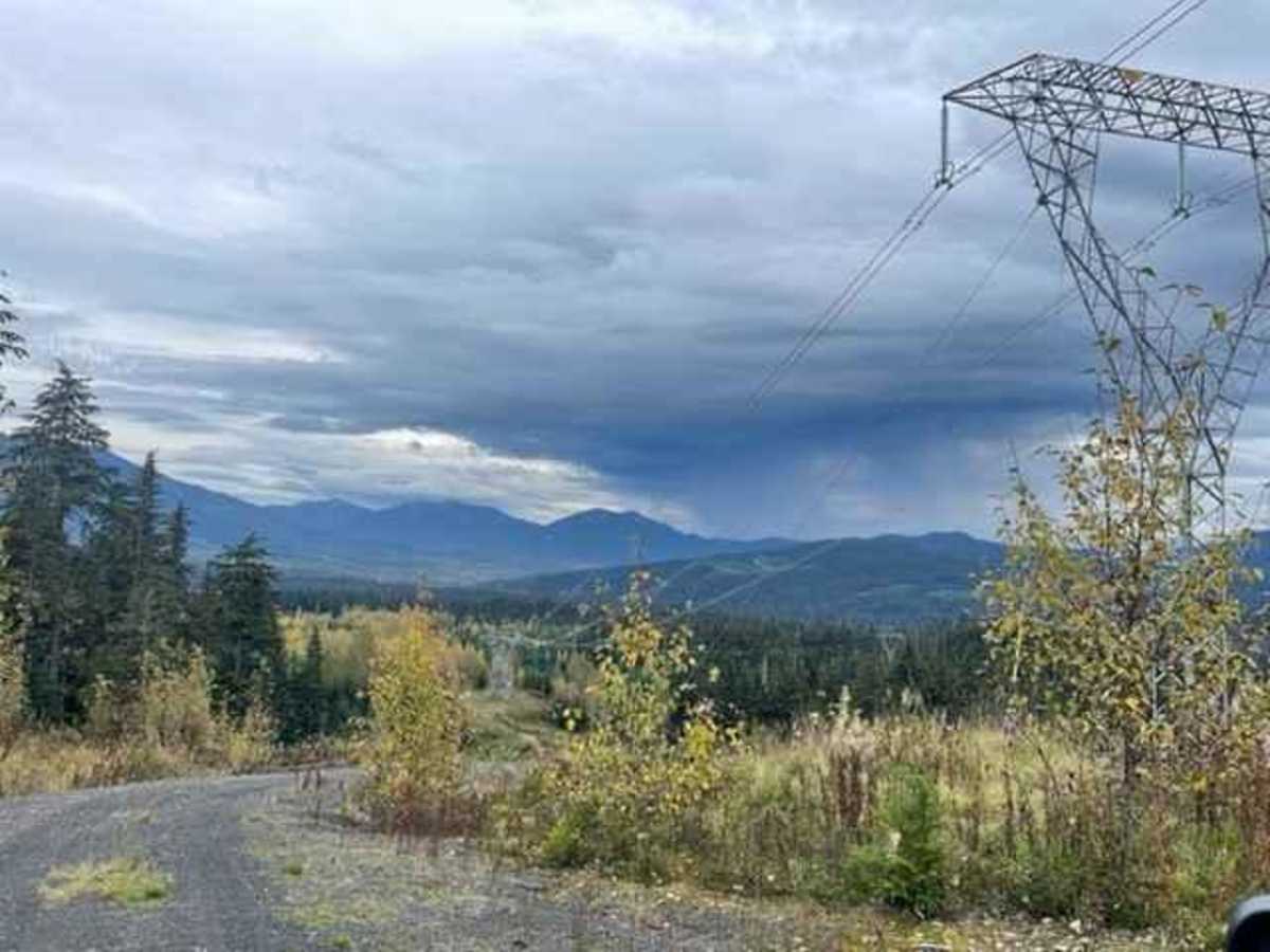
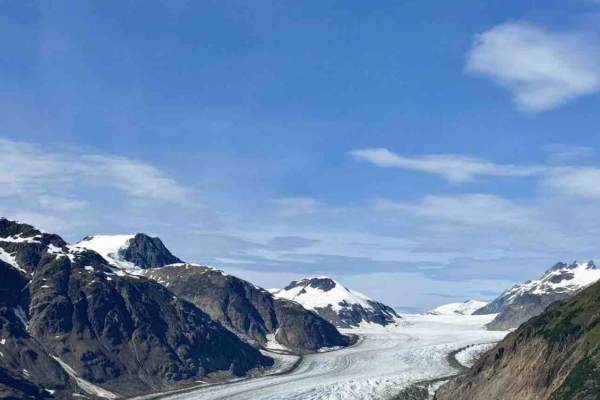
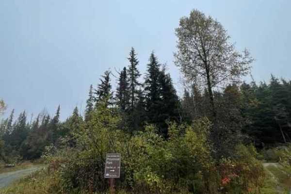
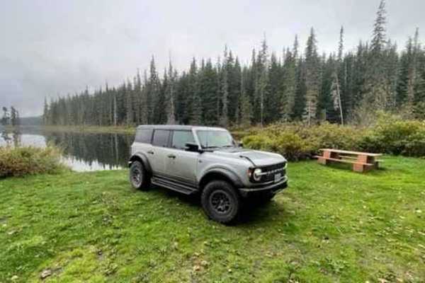
Cassy Road offers an accessible yet scenic wilderness trek for those seeking to explore the rugged backcountry of British Columbia's Stewart-Cassiar Highway corridor. Spanning approximately 9.8 miles, this route climbs gradually from an elevation of 1,304 feet to a maximum height of 1,710 feet, accumulating roughly 1,137 feet of total elevation gain along the way. Navigating through a major high-voltage transmission line corridor, the dirt and gravel road winds past scenic rivers, rushing creeks, and dense forest, making it an excellent option for high-clearance four-wheel-drive vehicles and SxSs. The trail holds a technical rating of 3, meaning the surface is generally in good condition, though drivers should remain alert for minor rough patches, occasional deep rutting, and small mud holes that can form after rain.
While the main road remains highly passable during the spring, summer, and fall, winter conditions bring deep snowpack that restricts travel to snowmobiles or specialized winter-equipped SxSs. Numerous unmarked spur roads branch off the main route, inviting further exploration for those with extra time and a GPS-enabled map. High-clearance vehicles will easily manage the terrain, though low-hanging branches and brush may cause minor pin-striping on larger trucks. Because the surrounding wilderness is a popular destination for seasonal hunting, many active camps may be established near the trailside, requiring visitors to drive with caution and respect local users. There are no services along this remote stretch of Highway 37, so carrying self-recovery gear, extra fuel, and plenty of water is essential before heading out.