Trail Overview
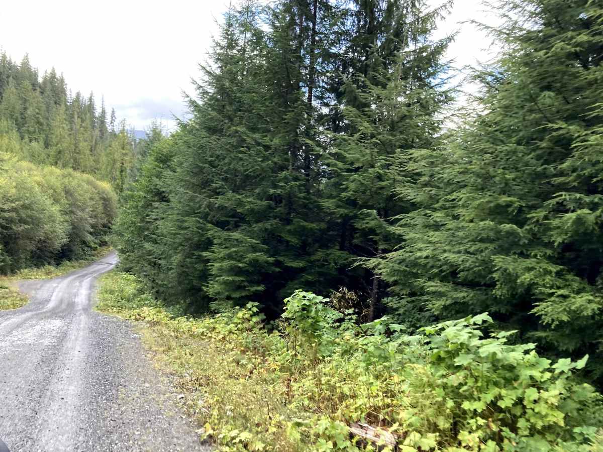
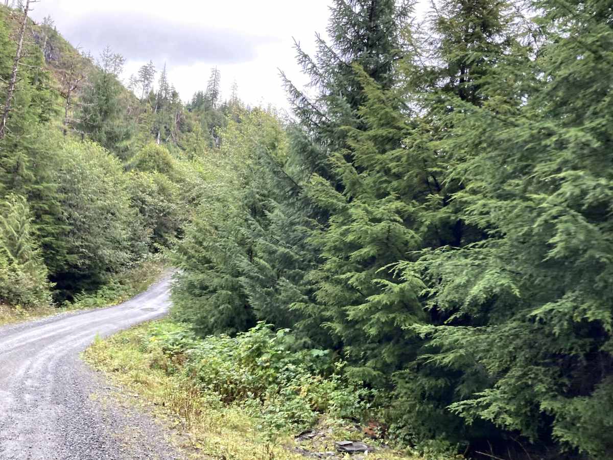
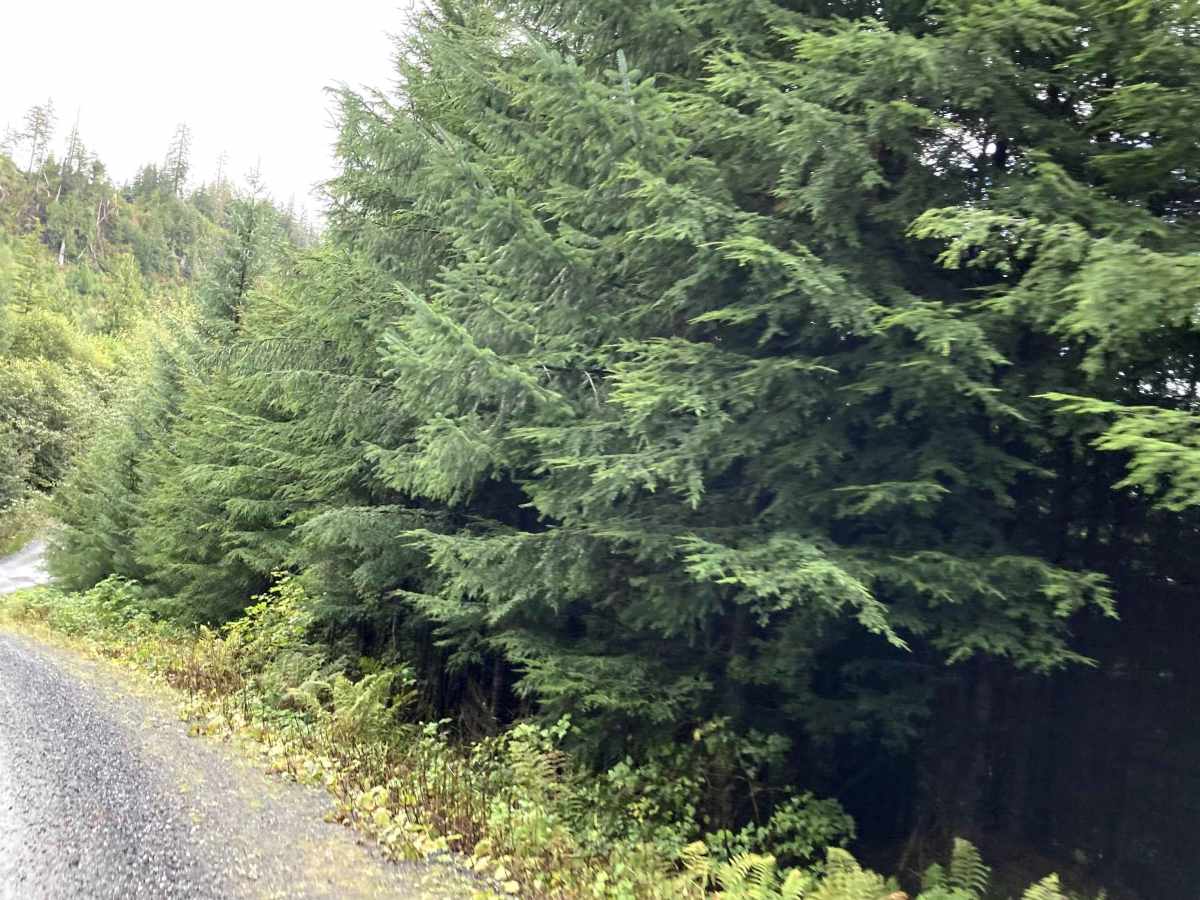
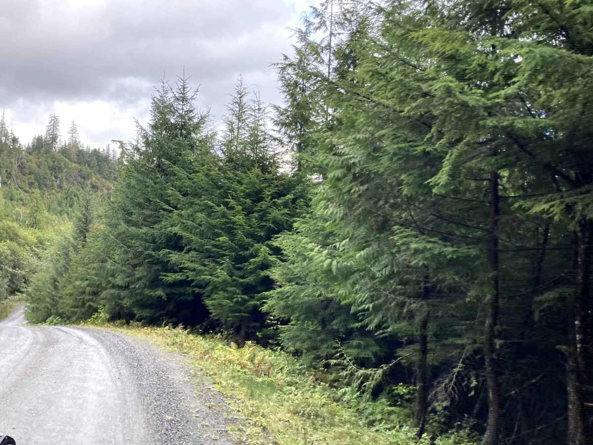
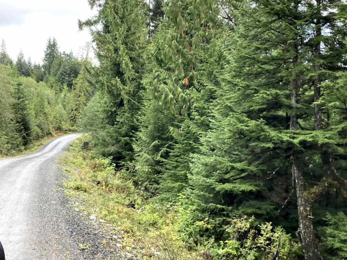
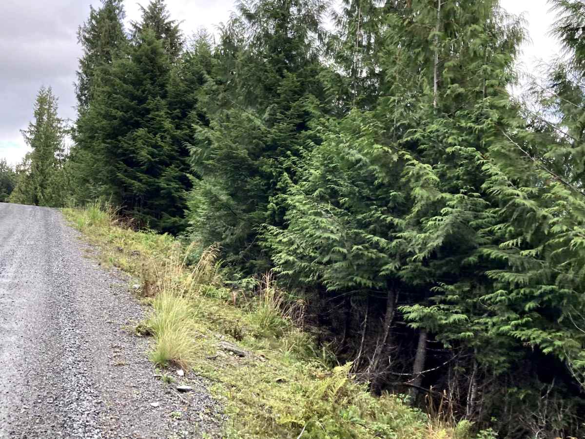
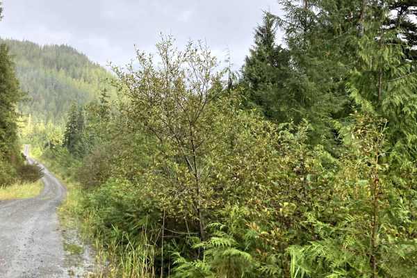
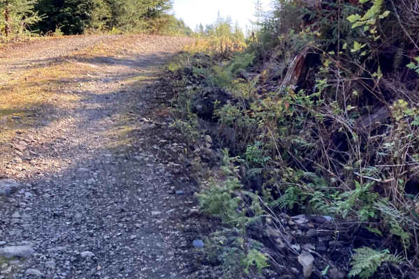
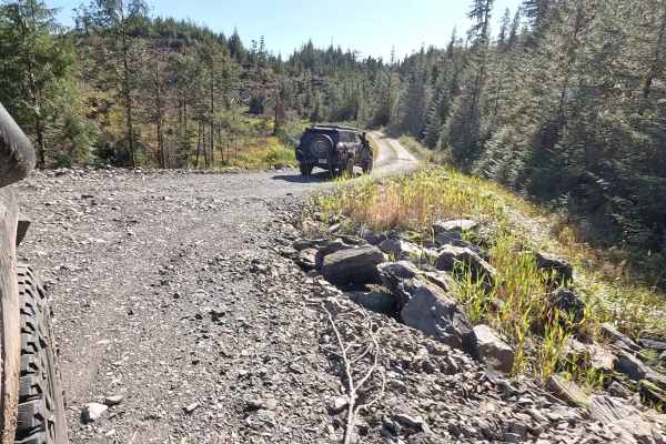
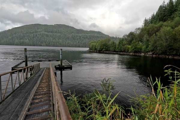
Revilla Road Starts at the end of Paved Revilla Road right after Connell Lake Picnic Road and ends at the Harriet Hunt Road turn and Revilla Road becomes where the road turns into Shelter Cove Road. This road is mostly Gravel with very large Potholes. Airing down for comfort is suggested. This road has many pull-out spots available and connects to multiple private roads on Alaska Native Land. Before crossing back into Tongass National Forest, where it turns into Shelter Cove Road to reach the other side of the Island. Trails on this stretch are considered private Native land, and permission is advised before going on Private trails. Check weather conditions and be prepared for rain, fog with low visibility, and lower temperatures. It is a rainforest. This road is lined with trees and passes through areas of Muskeg. This Island has black bears, so be safety-minded when outside your vehicle.