
Dirt Bike Trails
Near Huntington, Arkansas
Explore All Dirt Bike Trails Near Huntington, Arkansas
Dirt Bike Trails Near Huntington, Arkansas
Discover the best dirt bike trails near you. Browse trail maps, check difficulty ratings, and find your next adventure — whether you're looking for a quick ride or an all-day expedition.
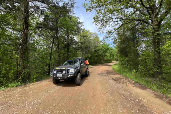
FR289
This is a nice 4 mile drive on a beautiful forest road. It's mostly a nice somewhat smooth gravel road till you get further down and it gets pretty rough so watch your speed. There's a low water crossing along the way and a beautiful emerald green river off to the right.
Learn more about FR289
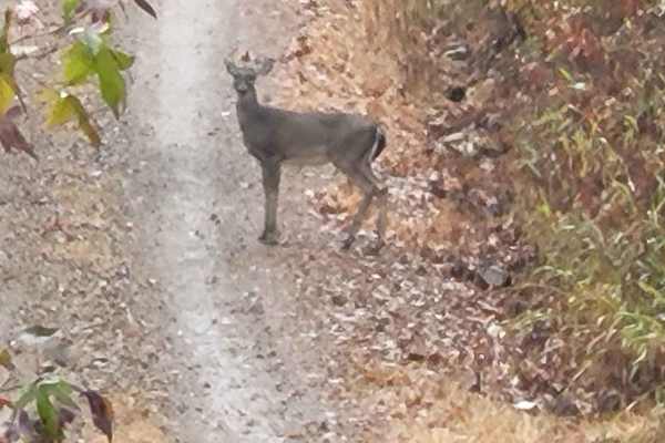
White Oak
This trail starts at a very nice dispersed campsite and ends at another dispersed campsite. The end campsite has a rock fire ring and huge oak trees. This campsite has room for several vehicles and it is very nice. The road is white oak 178 on the south side of Round mountain. You will pass a left t...
Learn more about White Oak
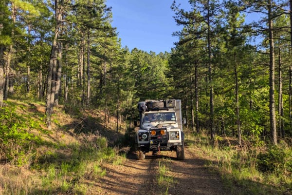
Unity Road
This trail offers a scenic but narrow and uneven drive along a ridgeline that skirts the mountainside. The surface is wet and potholed in places, making for a bumpy ride that may require slower speeds. It does not appear to be heavily traveled, likely due to the fact that it does not connect with Br...
Learn more about Unity Road
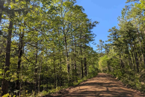
Jones Creek Road
This trail offers a scenic but rugged drive through a rural area where it passes small holdings and stretches of private land with grazing livestock on green pastures. The road is wet, potholed, and uneven in many areas, and drivers should proceed cautiously, especially near homes and through active...
Learn more about Jones Creek Road
Denton Creek Road
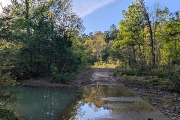
This trail offers a scenic and winding route through a lush, green forest, particularly vibrant after seasonal rains. It crosses several streams and features numerous offshoots that may lead to potential dispersed camping areas. The road surface is generally smooth and well-maintained, but the trail...
Learn more about Denton Creek Road
Haw Creek
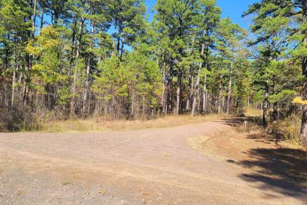
This trail starts off Walker Mountain Road and ends at Champ Road. There are areas for dispersed camping in this area. Beautiful views and wildlife can be seen. Some sections of this gravel forest road can be rough and have mud when wet. This trail takes you further south into the Ouachita National ...
Learn more about Haw Creek
Dispersed on Boles
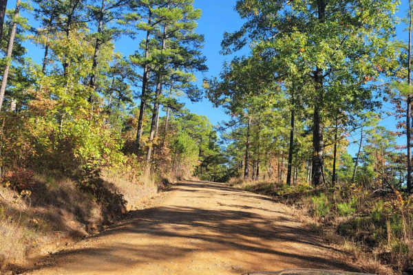
This gravel forest road passes several dispersed campsites. Some dispersed campsites are large with room for several vehicles. The gravel road is well-driven and can have rough spots along the way. If the road is wet it can be messy. Beautiful views of streams and nature are present. Wildlife could...
Learn more about Dispersed on Boles
Henry Mountain Road
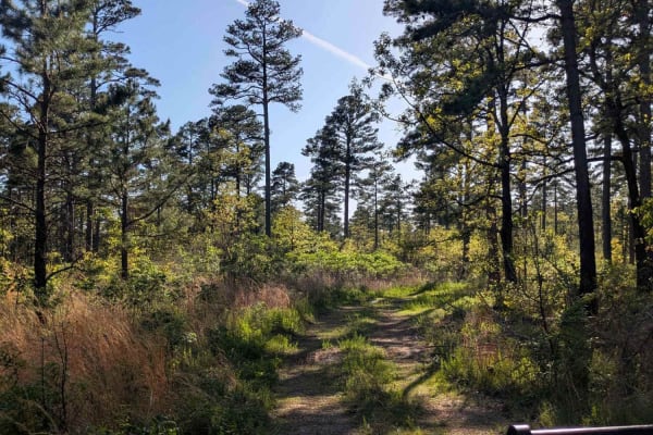
This trail is divided into two contrasting sections. The first half is a smooth and well-maintained gravel road with numerous side tracks that may lead to dispersed campsites, making for an easy and enjoyable drive. Around the midpoint, travelers will notice a tall tree set back from the trail with ...
Learn more about Henry Mountain Road
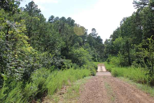
Girard Road to White Oak Road
This maintained gravel road has the west trailhead of Sugar Creek multi-use trails area at one end and White Oak Forest road at the other. This gravel road can be dusty when dry and messy when wet. There are a few creek crossings that will be dry unless there has been rain. The Sugar Creek Multi-Use...
Learn more about Girard Road to White Oak Road
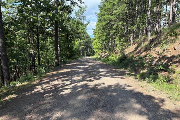
Blue Bird Lane
This road is a forest service road, which is a hard-packed rock base covered with gravel. The gravel can be very loose at times. During heavy rains, the road can become muddy. The West End of this road has several switchbacks rising to a higher elevation. There is lots of wildlife in this area to se...
Learn more about Blue Bird Lane
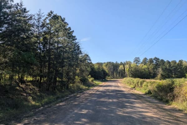
Eagle Gap Road
This trail is a relatively wide gravel route that can be rough in sections due to potholes and exposed rocks, the result of frequent rainfall and regular use by local landowners. It crosses several shallow streams and offers a scenic drive through forested terrain, eventually connecting to or from t...
Learn more about Eagle Gap Road
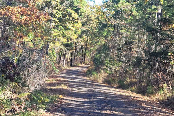
Champ Road to Nella Road
This trial leaves an awesome dispersed campsite and ends at Nella Road. Several dispersed campsites are along this trail. This gravel forest road can be messy when wet but is well-driven. Water crossing and rough spots are present on this forest road. Beautiful views and wildlife can be seen on this...
Learn more about Champ Road to Nella Road
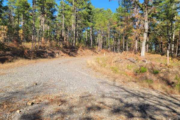
Buffalo Leaves the Forest
This gravel forest road starts at a fork at Buffalo Road and ends at Highway 71. The views in this part of the Ouachita National Forest are awesome. There are dispersed campsites along this trail. Mountain and valley views make for a beautiful drive. Some small stream crossings are present. This for...
Learn more about Buffalo Leaves the Forest
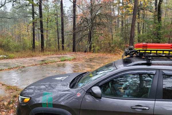
Hunt for Old Foundation
This trail is a nice gravel road that can be messy when wet. This trail starts at a very nice dispersed campsite and heads east. The trail ends at a fork in the road. You will pass an old foundation on the right-hand side that is used for a dispersed campsite. The history of this site would be inter...
Learn more about Hunt for Old Foundation
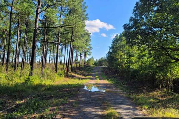
Fox Pen West
This track starts on the west side of the Ouachita National Forest off Highway 71. It will take you east into the forest and to a pond and dispersed campsite. This section of forest is not traveled as much as some of the more popular sections. Undergrowth is heavy in places and vehicle scratches are...
Learn more about Fox Pen West
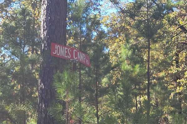
Jones Camp
This trail starts at Champ Road and ends on a narrow single-track dead end. There is an awesome dispersed campsite at the point you turn right on the single track. Champ Road is a gravel forest road that can be messy when wet. The single track has mud holes and undergrowth on it. Pinstripes can be p...
Learn more about Jones Camp
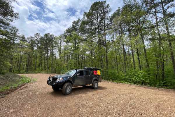
Radio Tower Road (178A)
Radio Tower Road is all uphill and pretty smooth as far as gravel roads come. It's not a long trail as it's only 2.7 miles to the top. Once you reach the top you'll understand why I call it Radio Tower Road, there are 3 fenced-in antenna towers at the top. The views from the top are nothing short of...
Learn more about Radio Tower Road (178A)
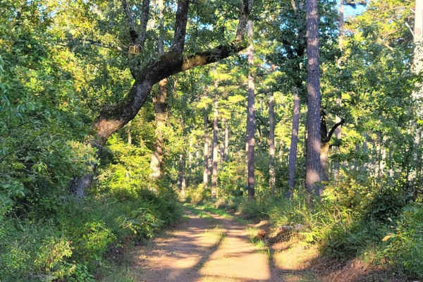
Dutch Mountain
This track continues east into the Ouachita National Forest from Highway 71. It will take you further east into the forest. This section of forest is not traveled as much as some of the more popular sections. Undergrowth is heavy in places and vehicle scratches are possible. This gravel road is two...
Learn more about Dutch Mountain
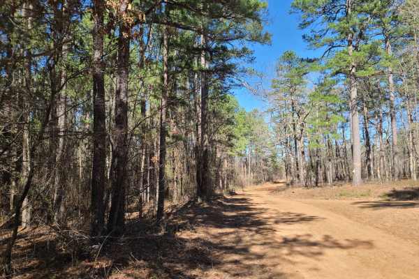
Ritz Road
This route combines a rugged, scenic section near Tarapin Creek Road with an easier stretch of Ritz Road leading toward the historic community of Ritz. The western portion follows a rocky path near the river, with wet areas, a bridge crossing, striking aquamarine water, and a small dispersed campsit...
Learn more about Ritz Road
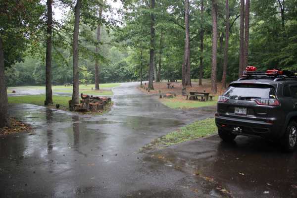
Knoppers Ford
Knopper's Ford, situated along Sugar Creek is a day-use facility built by the CCC. It is accessible by passenger cars or low-clearance vehicles. Knopper's Ford is popular with Off-Highway Vehicle (OHV) and Equestrian enthusiasts, as it is a very short distance from the fabulous Sugar Creek Multi-Us...
Learn more about Knoppers Ford
ATV trails near Huntington, Arkansas
Explore ATV-friendly trails near you. These trails are accessible for vehicles up to 50 inches wide, perfect for ATVs and smaller off-road machines.
FR289
This is a nice 4 mile drive on a beautiful forest road. It's mostly a nice somewhat smooth gravel road till you get further down and it gets pretty rough so watch your speed. There's a low water crossing along the way and a beautiful emerald green river off to the right.
Learn more about FR289
Unity Road
This trail offers a scenic but narrow and uneven drive along a ridgeline that skirts the mountainside. The surface is wet and potholed in places, making for a bumpy ride that may require slower speeds. It does not appear to be heavily traveled, likely due to the fact that it does not connect with Br...
Learn more about Unity Road
Jones Creek Road
This trail offers a scenic but rugged drive through a rural area where it passes small holdings and stretches of private land with grazing livestock on green pastures. The road is wet, potholed, and uneven in many areas, and drivers should proceed cautiously, especially near homes and through active...
Learn more about Jones Creek Road
Denton Creek Road
This trail offers a scenic and winding route through a lush, green forest, particularly vibrant after seasonal rains. It crosses several streams and features numerous offshoots that may lead to potential dispersed camping areas. The road surface is generally smooth and well-maintained, but the trail...
Learn more about Denton Creek Road
UTV/side-by-side trails near Huntington, Arkansas
Find UTV and side-by-side trails near you. These trails accommodate vehicles up to 60 inches wide, ideal for UTVs, side-by-sides, and wider off-road rigs.
FR289
This is a nice 4 mile drive on a beautiful forest road. It's mostly a nice somewhat smooth gravel road till you get further down and it gets pretty rough so watch your speed. There's a low water crossing along the way and a beautiful emerald green river off to the right.
Learn more about FR289
White Oak
This trail starts at a very nice dispersed campsite and ends at another dispersed campsite. The end campsite has a rock fire ring and huge oak trees. This campsite has room for several vehicles and it is very nice. The road is white oak 178 on the south side of Round mountain. You will pass a left t...
Learn more about White Oak
Unity Road
This trail offers a scenic but narrow and uneven drive along a ridgeline that skirts the mountainside. The surface is wet and potholed in places, making for a bumpy ride that may require slower speeds. It does not appear to be heavily traveled, likely due to the fact that it does not connect with Br...
Learn more about Unity Road
Jones Creek Road
This trail offers a scenic but rugged drive through a rural area where it passes small holdings and stretches of private land with grazing livestock on green pastures. The road is wet, potholed, and uneven in many areas, and drivers should proceed cautiously, especially near homes and through active...
Learn more about Jones Creek Road
The onX Offroad Difference
onX Offroad combines trail photos, descriptions, difficulty ratings, width restrictions, seasonality, and more in a user-friendly interface. Available on all devices, with offline access and full compatibility with CarPlay and Android Auto. Discover what you're missing today!
Open Trail Map