
Dirt Bike Trails
Near Hard Rock, Arizona
Explore All Dirt Bike Trails Near Hard Rock, Arizona
Dirt Bike Trails Near Hard Rock, Arizona
Discover the best dirt bike trails near you. Browse trail maps, check difficulty ratings, and find your next adventure — whether you're looking for a quick ride or an all-day expedition.
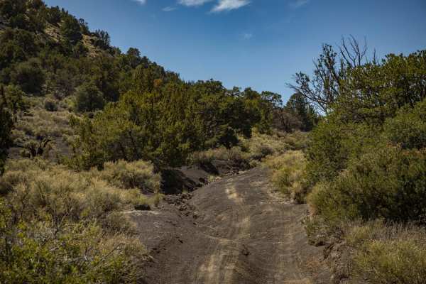
150 Actual
This trail sports varying terrain including, loose deep sand, gravel, erosion, water damage, rocks, and off-camber situations. This trail was run from East to West, and gets rougher the further West you go, specifically around Deadman Wash. There are off-camber wash crossings, as well as steep entra...
Learn more about 150 Actual
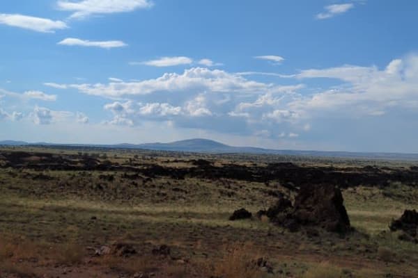
Tub Ranch Road to FS 417
This wide, well-maintained, gravel road winds through the spectacular CO Bar Ranch/Arizona Land Trust co-managed area. Along the way, you'll drive past SP Mountain and through the lava field that can be seen on the satellite map. You'll need a free ranch access permit which can be obtained online or...
Learn more about Tub Ranch Road to FS 417
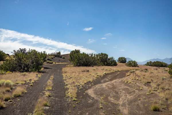
150 Pits
The 150 Pits Trail serves as an access and camping trail in the area that is adjacent to the Wupatki National Monument. There are many campsites along this trail, with the Southern end around the pits having numerous flat spots available to be camped in. The cinder pit area looks like it serves as a...
Learn more about 150 Pits
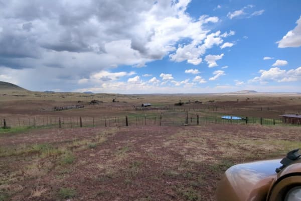
SP Mountain Road to Aso Ranch
This easy, graded gravel road takes you on a beeline through a checkerboard of Arizona Trust Land and Babbitt Ranch lands on your way to the historic and amazingly preserved Aso Ranch. Along the way, you'll have your head on a swivel taking in the sweeping views of the San Francisco Mountains to you...
Learn more about SP Mountain Road to Aso Ranch
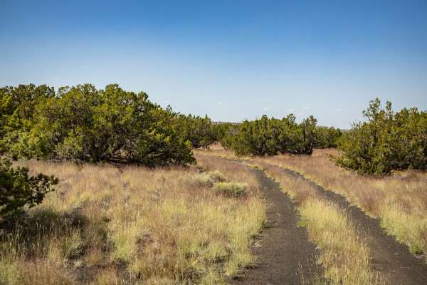
9157Y
9157Y is a connector trail that cuts through the Juniper and Mixed pine of this area, South of the Wupatki National Monument. This trail is a typical one in the area and is a two-track that is predominately rock, sand, and cinder crush. Along this trail, you'll encounter campsites, some with primiti...
Learn more about 9157Y
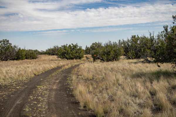
782
The 782 Trail is an interesting one. On its journey through the entire area South of the Wupatki National Monument, it sports varying terrain. Spots of deep, soft, sand may become problematic if you're unprepared. Sporadic rock gardens spring up and make the trail bumpy at times, with sneaky rocks i...
Learn more about 782
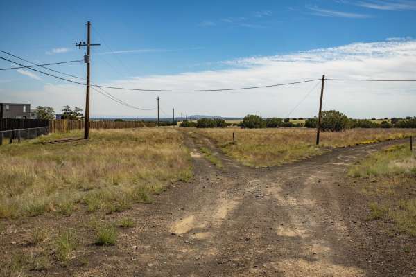
9172X
The 9172X trail is a black sand and crushed cinder trail that is indicative of this area's terrain. The surrounding area of the Wupatki National Monument and the Cinder Hills further to the South's terrain is mostly made up of this material. This trail goes through varying terrain of hard-pack, sand...
Learn more about 9172X
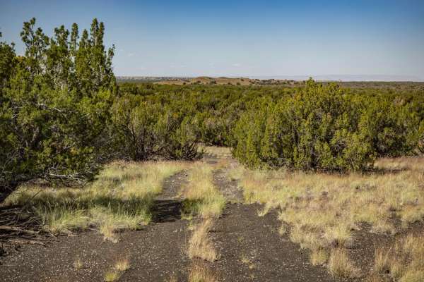
9155M
9155M serves as a bisector trail that cuts through this National Forest area South of Wupatki National Monument. As is typical of most trails in the area, this trail is a two-track that is predominately rock, sand, and cinder crush. Along this trail, you might see dispersed campsites, some with prim...
Learn more about 9155M
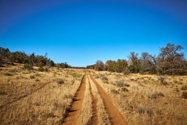
Old 312 Bucklar Road
Old 312 Bucklar Road is a scenic and moderately challenging 8.5-mile route ideal for intermediate drivers in four-wheel-drive vehicles, high-clearance SUVs, and SxSs looking to experience the transition from open prairie to pine-studded national forest. Traversing the boundary of the Kaibab National...
Learn more about Old 312 Bucklar Road
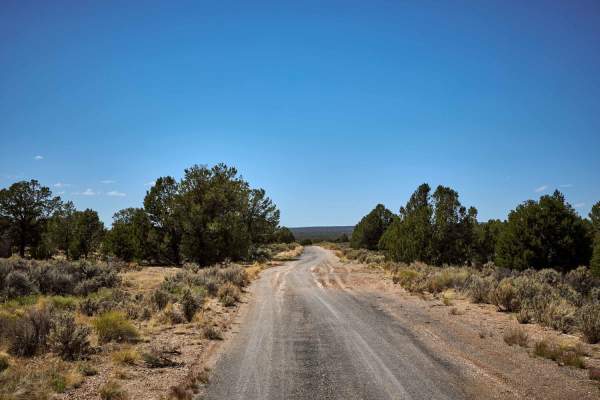
Old 64 / Tusayan Road
Old 64 Road is exactly that - the former highway that used to be the main entrance to Grand Canyon National Park from the East. While some of this trail is paved, don't be lulled into a false sense of security, as this is unmaintained, and hazards abound! After a short while on pavement, this trail ...
Learn more about Old 64 / Tusayan Road
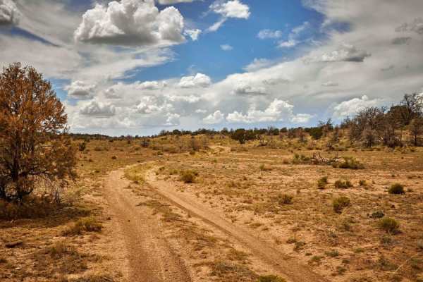
FR 2763
This one-lane forest road is sometimes rocky, sometimes off-camber, and all times challenging. The northern end traces a water runoff path that is carved out and rutted, leading to some off-camber driving. The southern portion of this road is rocky and, at times, challenging. That being said, there ...
Learn more about FR 2763
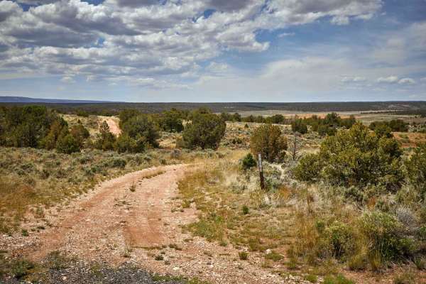
Rim Ruins
The Rim Ruins Trail is an interesting trail to say the least. Named for the ruins and its adjacent proximity to the Coconino Rim, this trail leads through what looks like an old homestead, with out buildings and a corral. The trail itself goes through the underbrush and scrubbrush of the Kaibab Nati...
Learn more about Rim Ruins
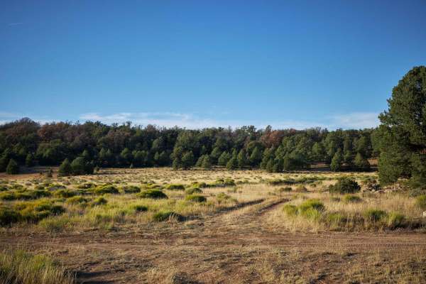
FR 313D
FR 313D is a beautiful single track that goes across the prairie of Peterson Flat and into the mixed pine and juniper trees of the Kaibab National Forest. Near the Peterson Flat, you'll find the ruins of an old homestead, along with a corral and pen for cattle. While there are no obstacles over 12" ...
Learn more about FR 313D
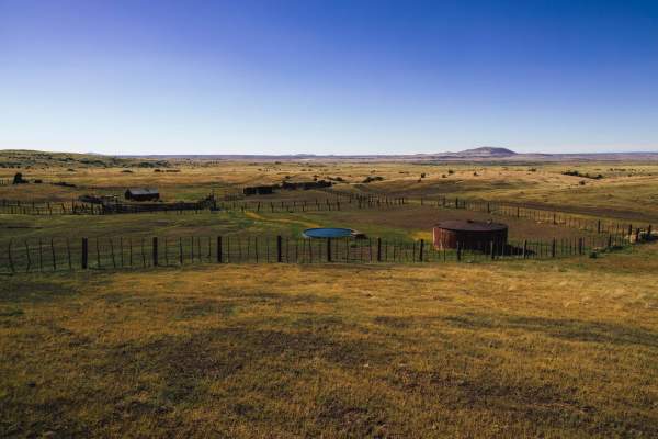
Tub Ranch Teardrop
The Tub Ranch Teardrop is an absolutely gorgeous trail. It leads near and around the grounds of the beautiful Tub Ranch. The surrounding hills and prairies are nothing short of spectacular! There are no obstacles along this trail, but also no cell service, so you'll want to have offline maps downloa...
Learn more about Tub Ranch Teardrop
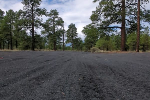
Cinder Hills OHV Area 777
This full-width, gently rolling, whoops-filled, cinder track winds between cinder cones and through the heart of Cinder Hills OHV. Aside from a sign at either end with mileage to Cinder Lake and the 776 intersections, there is no signage designating the official 777 route. Because this is an open ri...
Learn more about Cinder Hills OHV Area 777
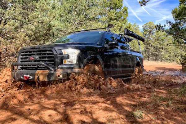
The Great Western Trail 150
The Great Western Trail is a 3,100-mile north-south long-distance multiple-use route that runs from Canada to Mexico through the five western states of Arizona, Utah, Idaho, Wyoming, and Montana. In Arizona, the trail consists of 800 miles of mixed-use trail that parallels the existing Arizona Trail...
Learn more about The Great Western Trail 150
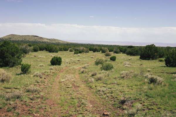
FS417b
FS417b is a one-lane two-track that cuts through the grasslands of the Coconino National Forest. This trail is primarily dirt, with some erosion and water damage, but have no fear, there are no major obstacles along this trail. This trail becomes rocky at times, with ruts that may become problematic...
Learn more about FS417b
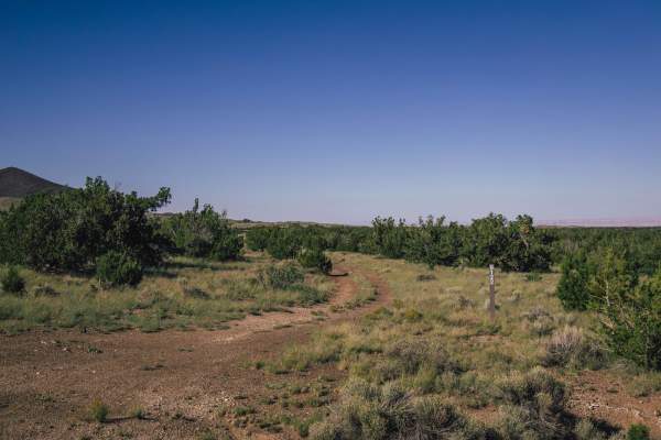
9150 Soup
The 9150 Soup Trail is a mashup of a series of variations of the 9150 Trail system. This system accesses a remote part of the Coconino National Forest and is primarily used by hunters and campers throughout the year. There are no major obstacles on this trail, though there is some erosion and water ...
Learn more about 9150 Soup
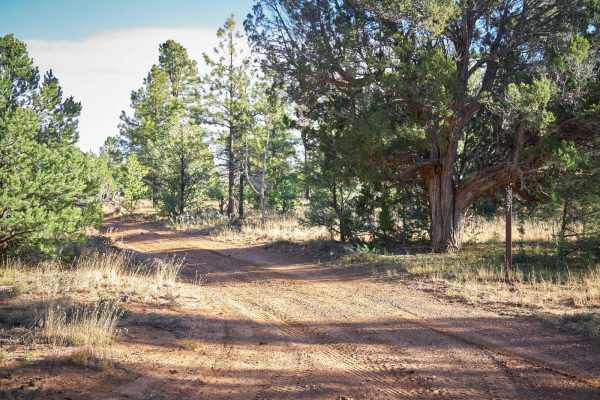
FR 337
FR 337 is a single dirt track that weaves and winds through the Kaibab Forest on the Coconino Plateau. There are no obstacles on this rough track, though some mud off-camber and slick rock sections may prove this trail to be challenging after rain or snow. On your way, you'll see elk, Mule deer, and...
Learn more about FR 337
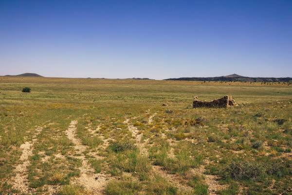
Canyon Ruins Tour
The Canyon Ruins Tour trail is a 14-mile one-lane dirt and rock trail that tours the hidden canyons and rocky hills nestled in the prairie lands of this area of Northern Arizona. Sections of this trial demonstrate erosion and water damage that so commonly shapes the landscape in this area. Up on the...
Learn more about Canyon Ruins Tour
ATV trails near Hard Rock, Arizona
Explore ATV-friendly trails near you. These trails are accessible for vehicles up to 50 inches wide, perfect for ATVs and smaller off-road machines.
150 Actual
This trail sports varying terrain including, loose deep sand, gravel, erosion, water damage, rocks, and off-camber situations. This trail was run from East to West, and gets rougher the further West you go, specifically around Deadman Wash. There are off-camber wash crossings, as well as steep entra...
Learn more about 150 Actual
Tub Ranch Road to FS 417
This wide, well-maintained, gravel road winds through the spectacular CO Bar Ranch/Arizona Land Trust co-managed area. Along the way, you'll drive past SP Mountain and through the lava field that can be seen on the satellite map. You'll need a free ranch access permit which can be obtained online or...
Learn more about Tub Ranch Road to FS 417
150 Pits
The 150 Pits Trail serves as an access and camping trail in the area that is adjacent to the Wupatki National Monument. There are many campsites along this trail, with the Southern end around the pits having numerous flat spots available to be camped in. The cinder pit area looks like it serves as a...
Learn more about 150 Pits
SP Mountain Road to Aso Ranch
This easy, graded gravel road takes you on a beeline through a checkerboard of Arizona Trust Land and Babbitt Ranch lands on your way to the historic and amazingly preserved Aso Ranch. Along the way, you'll have your head on a swivel taking in the sweeping views of the San Francisco Mountains to you...
Learn more about SP Mountain Road to Aso Ranch
UTV/side-by-side trails near Hard Rock, Arizona
Find UTV and side-by-side trails near you. These trails accommodate vehicles up to 60 inches wide, ideal for UTVs, side-by-sides, and wider off-road rigs.
150 Actual
This trail sports varying terrain including, loose deep sand, gravel, erosion, water damage, rocks, and off-camber situations. This trail was run from East to West, and gets rougher the further West you go, specifically around Deadman Wash. There are off-camber wash crossings, as well as steep entra...
Learn more about 150 Actual
Tub Ranch Road to FS 417
This wide, well-maintained, gravel road winds through the spectacular CO Bar Ranch/Arizona Land Trust co-managed area. Along the way, you'll drive past SP Mountain and through the lava field that can be seen on the satellite map. You'll need a free ranch access permit which can be obtained online or...
Learn more about Tub Ranch Road to FS 417
150 Pits
The 150 Pits Trail serves as an access and camping trail in the area that is adjacent to the Wupatki National Monument. There are many campsites along this trail, with the Southern end around the pits having numerous flat spots available to be camped in. The cinder pit area looks like it serves as a...
Learn more about 150 Pits
SP Mountain Road to Aso Ranch
This easy, graded gravel road takes you on a beeline through a checkerboard of Arizona Trust Land and Babbitt Ranch lands on your way to the historic and amazingly preserved Aso Ranch. Along the way, you'll have your head on a swivel taking in the sweeping views of the San Francisco Mountains to you...
Learn more about SP Mountain Road to Aso Ranch
The onX Offroad Difference
onX Offroad combines trail photos, descriptions, difficulty ratings, width restrictions, seasonality, and more in a user-friendly interface. Available on all devices, with offline access and full compatibility with CarPlay and Android Auto. Discover what you're missing today!
Open Trail Map