
Dirt Bike Trails
Near Hanksville, Utah
Explore All Dirt Bike Trails Near Hanksville, Utah
Dirt Bike Trails Near Hanksville, Utah
Discover the best dirt bike trails near you. Browse trail maps, check difficulty ratings, and find your next adventure — whether you're looking for a quick ride or an all-day expedition.
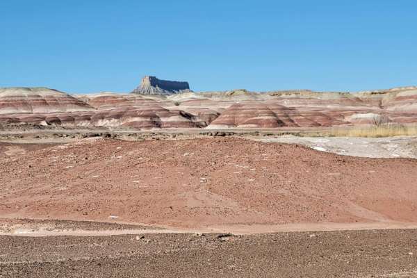
Cow Dung Road
A well-maintained dirt road that offers some incredible views of the very unique desert landscape. Just over 2 miles in, is a neat boulder field and canyon to navigate through. Just North of this, you'll briefly cross from BLM to State land then back to BLM. In the state section, you'll pass the Mar...
Learn more about Cow Dung Road
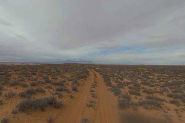
Blackburn Wash Road
Blackburn Wash Road is a 29.9-mile point-to-point trail rated 2 of 10 located in Wayne County. Blackburn Wash Road runs just north of the Dirty Devil Wilderness Study Area. The road is a semi-maintained hardpacked dirt road that extends from Highway 24 (west end) to Emery County 1010 at the county l...
Learn more about Blackburn Wash Road
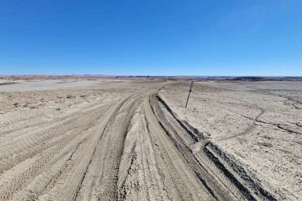
Blue Valley Road
This short little side trail doesn't lead to much, but it does offer some pretty incredible desert views. There was an attempt to connect to the Sand Wash Road, but that road is no longer obvious or does not seem to be in existence from the North side. The Blue Valley road trail did appear to contin...
Learn more about Blue Valley Road
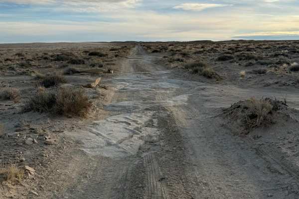
Moonscape Overlook
This trail provides access to the popular Moonscape Overlook viewpoint. It is very frequently visited for photos and camping. Please be extremely cautious at the overlook, one teen tragically fell to their death here. Remember to be respectful to others and share this popular space, if people are al...
Learn more about Moonscape Overlook
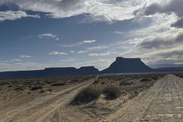
Skyline View Road
This trail leads to the Moonscape overlook. It is the better of the two tracks leading to the overlook. This track is graded and wide, with some sections featuring a washboard texture. This trail is easy enough for a small SUV or even a minivan to handle with no problem. And the overlook is amazing.
Learn more about Skyline View Road
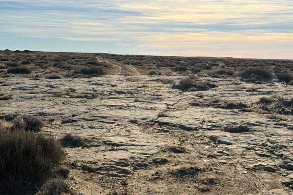
Coal Mine Road
This is an easy trail that leads from the main Moonscape Overlook trail to an alternate overlook. It's not difficult; medium clearance vehicles will be fine. There are sections of rock and some very slight ruts that would give lower vehicles issues. Generally level, there is a slight incline that's ...
Learn more about Coal Mine Road
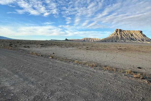
Coal Mine Road
This trail is a well-maintained gravel road, that provides access to the Swing Arm City OHV Open Area and Factory Butte OHV Open Area. It also is frequently used to access to a popular viewpoint - Moonscape Overlook. At the North end, it connects to the Muddy Creek Wilderness area. Please be sure to...
Learn more about Coal Mine Road
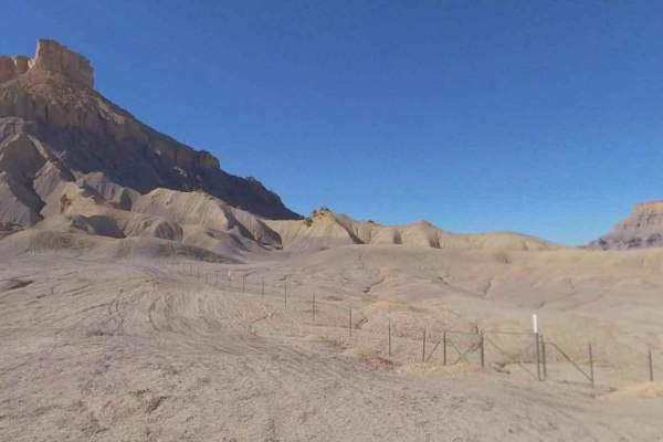
Swing Arm City
Swing Arm City is a 7.8-mile point-to-point trail rated 3 of 10 located in the Caineville Free Ride Area of Wayne County. Swingarm City OHV area in Caineville, UT, is an open OHV playground unique in the United States. Although the Caineville recreational area is a free-riding area, this is a well-d...
Learn more about Swing Arm City
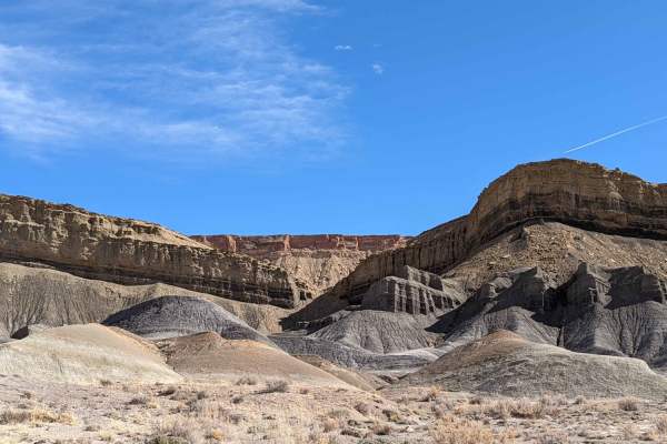
North Caineville Reef Road
This trail is a great trail to view the west side of Factory Butte. It is incredible to see red rock, brown rock, and gray rock (and sand and silt in all of these colors). It is not traveled as often as the East side of Factory Butte, and it leads you to Cathedral Valley Road. I enjoyed this trail a...
Learn more about North Caineville Reef Road
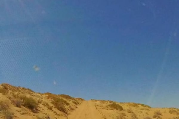
BLM 1010 to Blackburn Wash
This is a sandy shortcut between BLM 1010 and the Blackburn Wash road to the south. Most of the trail is soft but not challenging. There is a sandy slope near the northern end that requires decent clearance and a bit of driving finesse to avoid problems. Watch for the pink sand dunes common in the s...
Learn more about BLM 1010 to Blackburn Wash
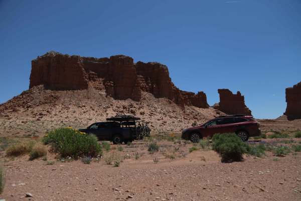
Goblin Valley Cutoff Rd
This trail is a cut-off a few miles from Hanksville to Goblin Valley and Wild Horse or vice versa with this fun short dirt road. You can enter from Goblin Valley Road or State Route 24. The trail has cattle gates on both sides that you are responsible for opening and closing. On the east side of the...
Learn more about Goblin Valley Cutoff Rd
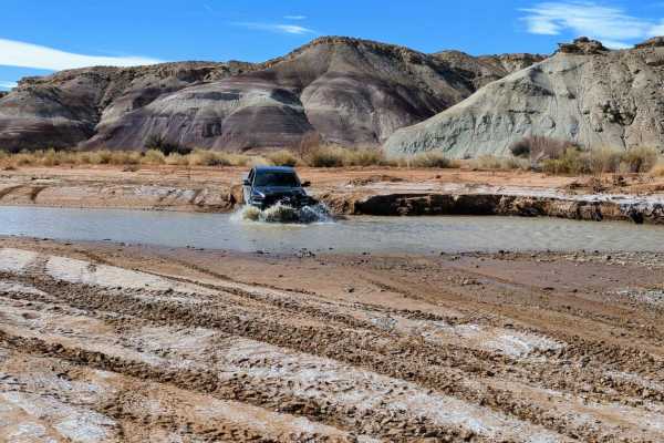
Wild Horse Road
Wild Horse Road starts at Goblin Valley Utah State Park and makes its way towards Factory Butte. You can stop along the way to visit many hiking trails and slot canyons. Most of this trail is fairly easy as it is mainly packed dirt. There are some sand washes and loose rocks you will be crossing (or...
Learn more about Wild Horse Road
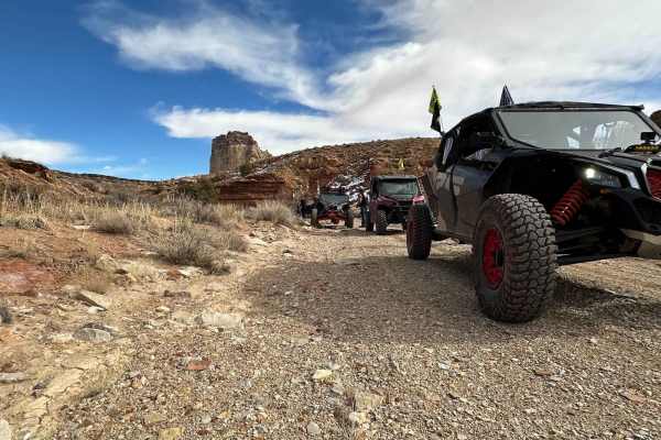
Little Wild Horse Canyon
The trail starts off in a sandy wash and works its way through several narrow sections of canyon. It eventually turns into a rocky trail that climbs its way out of the canyons and runs across plateaus. Here, the trail is mixed between sandy and rocky sections. The trail ends by descending off of the...
Learn more about Little Wild Horse Canyon
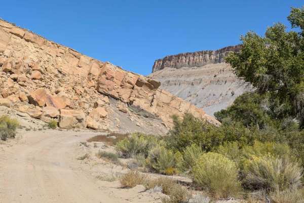
Rattlesnake Ranch Road - 0088
This nicely graded dirt road follows the Fremont River. The trail offers spectacular views of the mountains. There are a few private small ranches along the route. Please respect private property. There is a gate at the South entrance that should be closed. The trail comes out at Caineville.
Learn more about Rattlesnake Ranch Road - 0088
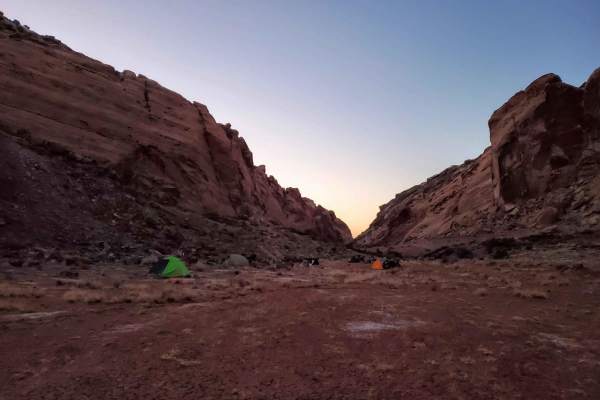
Behind the Reef 50-Inch Trail
Connecting to the wider Behind The Reef Trail in the East and Hidden Splendor Road in the West, this 50-inch trail is full of amazing views and hiking opportunities. There is a very tight ramp climbing from the lowest point of this trail with some rock outcroppings to watch out for as well as floodi...
Learn more about Behind the Reef 50-Inch Trail
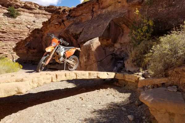
Waterfall Trail
The Waterfall Trail is a great trail on the West side of Utah's "Colored" trails. The trail has multiple terrains, from fast and flowy to a few rocky, technical spots. There are a couple of notable stops along the way to see the cool rock bridge and the sign that someone put up about having to helic...
Learn more about Waterfall Trail
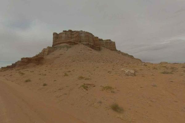
Emery County Road 1010
Emery County Road 1010 is a 24-mile point-to-point trail rated 2 of 10 located in Emery and Wayne Counties. ECR1010 is also the western end of the 69-mile Lower San Rafael Road which ends at County Road 1007 just south of Green River, Utah, and within 5 miles of Interstate 70 access. It is also know...
Learn more about Emery County Road 1010
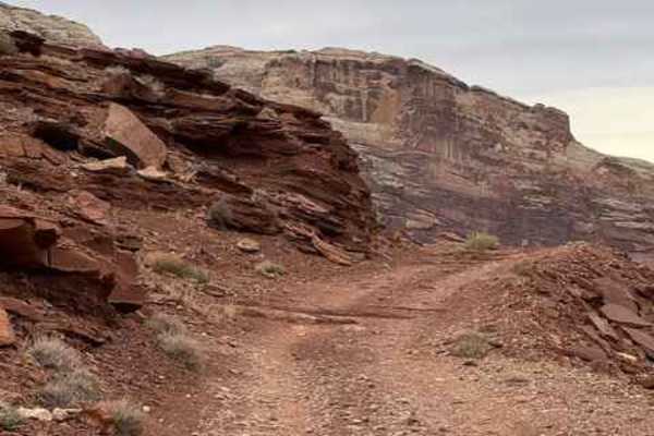
Hidden Splendor Airstrip
This trail begins at the fork off of Temple Junction. The trail crosses an airstrip that is still maintained and, rarely, used today so keep an eye out for airplanes. The trail passes the airstrips and continues down some technical switchbacks to access the San Rafael River and a large campsite. The...
Learn more about Hidden Splendor Airstrip
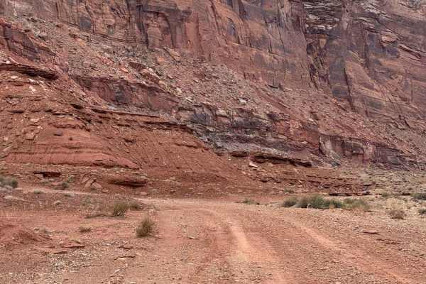
Muddy Thru Reef
This is another trail that branches off from the end of Temple Junction. It's an easier trail that travels through some cool canyons and rock formations. There are camping spots available along this route as well. It ends at a turnaround that could be used as a campsite as well. There are a lot of o...
Learn more about Muddy Thru Reef
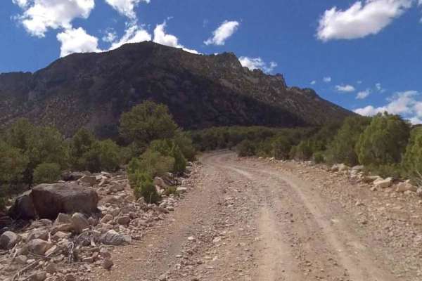
Fairview Ranch - Lonesome Beaver Rd
Fairview Ranch-Lonesome Beaver Road is a 22.5-mile point-to-point county road rated 2 of 10 located in Wayne and Garfield Counties. The road name is Fairview Ranch while in Wayne County and changes to Lonesome Beaver when it crosses over into Garfield County. Starting in the community of Hanksville ...
Learn more about Fairview Ranch - Lonesome Beaver Rd
ATV trails near Hanksville, Utah
Explore ATV-friendly trails near you. These trails are accessible for vehicles up to 50 inches wide, perfect for ATVs and smaller off-road machines.
Cow Dung Road
A well-maintained dirt road that offers some incredible views of the very unique desert landscape. Just over 2 miles in, is a neat boulder field and canyon to navigate through. Just North of this, you'll briefly cross from BLM to State land then back to BLM. In the state section, you'll pass the Mar...
Learn more about Cow Dung Road
Blackburn Wash Road
Blackburn Wash Road is a 29.9-mile point-to-point trail rated 2 of 10 located in Wayne County. Blackburn Wash Road runs just north of the Dirty Devil Wilderness Study Area. The road is a semi-maintained hardpacked dirt road that extends from Highway 24 (west end) to Emery County 1010 at the county l...
Learn more about Blackburn Wash Road
Blue Valley Road
This short little side trail doesn't lead to much, but it does offer some pretty incredible desert views. There was an attempt to connect to the Sand Wash Road, but that road is no longer obvious or does not seem to be in existence from the North side. The Blue Valley road trail did appear to contin...
Learn more about Blue Valley Road
Moonscape Overlook
This trail provides access to the popular Moonscape Overlook viewpoint. It is very frequently visited for photos and camping. Please be extremely cautious at the overlook, one teen tragically fell to their death here. Remember to be respectful to others and share this popular space, if people are al...
Learn more about Moonscape Overlook
UTV/side-by-side trails near Hanksville, Utah
Find UTV and side-by-side trails near you. These trails accommodate vehicles up to 60 inches wide, ideal for UTVs, side-by-sides, and wider off-road rigs.
Cow Dung Road
A well-maintained dirt road that offers some incredible views of the very unique desert landscape. Just over 2 miles in, is a neat boulder field and canyon to navigate through. Just North of this, you'll briefly cross from BLM to State land then back to BLM. In the state section, you'll pass the Mar...
Learn more about Cow Dung Road
Blackburn Wash Road
Blackburn Wash Road is a 29.9-mile point-to-point trail rated 2 of 10 located in Wayne County. Blackburn Wash Road runs just north of the Dirty Devil Wilderness Study Area. The road is a semi-maintained hardpacked dirt road that extends from Highway 24 (west end) to Emery County 1010 at the county l...
Learn more about Blackburn Wash Road
Blue Valley Road
This short little side trail doesn't lead to much, but it does offer some pretty incredible desert views. There was an attempt to connect to the Sand Wash Road, but that road is no longer obvious or does not seem to be in existence from the North side. The Blue Valley road trail did appear to contin...
Learn more about Blue Valley Road
Moonscape Overlook
This trail provides access to the popular Moonscape Overlook viewpoint. It is very frequently visited for photos and camping. Please be extremely cautious at the overlook, one teen tragically fell to their death here. Remember to be respectful to others and share this popular space, if people are al...
Learn more about Moonscape Overlook
The onX Offroad Difference
onX Offroad combines trail photos, descriptions, difficulty ratings, width restrictions, seasonality, and more in a user-friendly interface. Available on all devices, with offline access and full compatibility with CarPlay and Android Auto. Discover what you're missing today!
Open Trail Map