Trail Overview
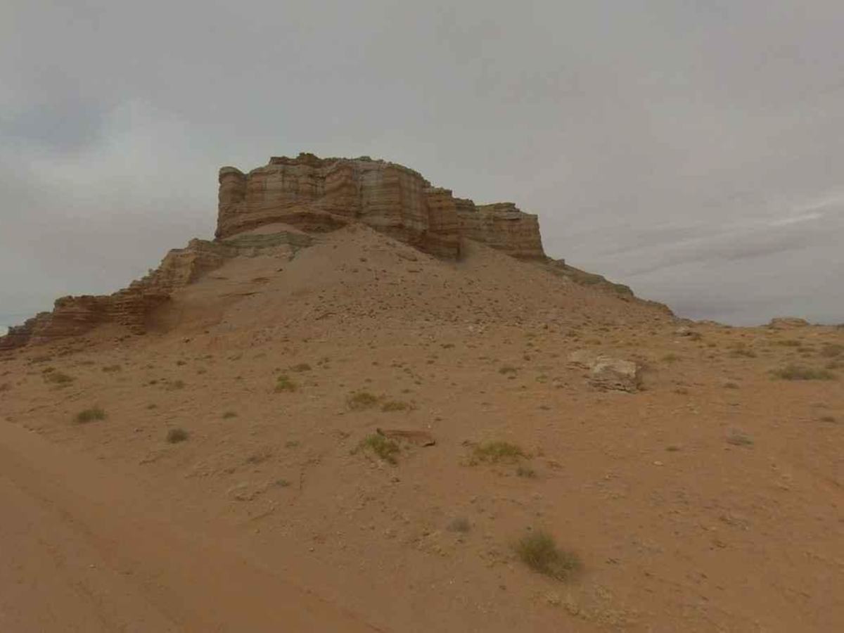
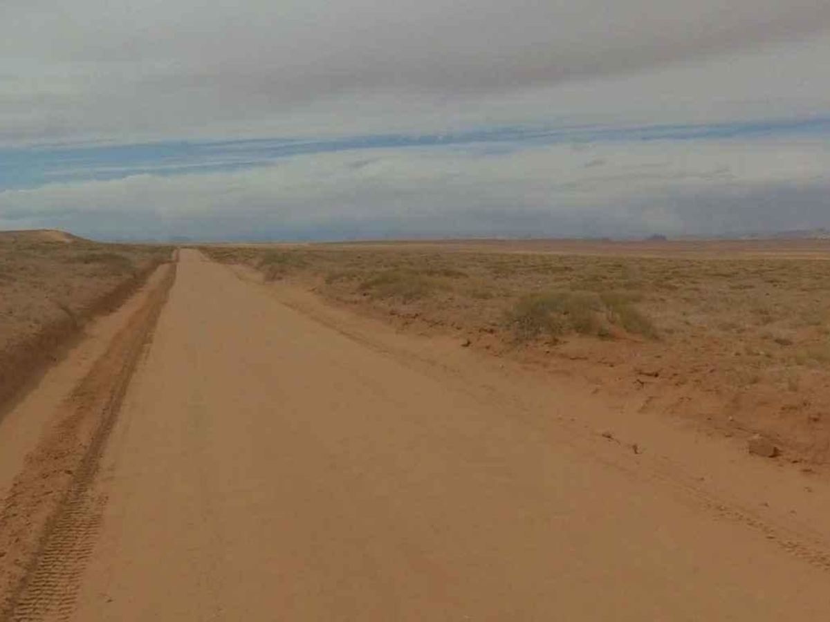
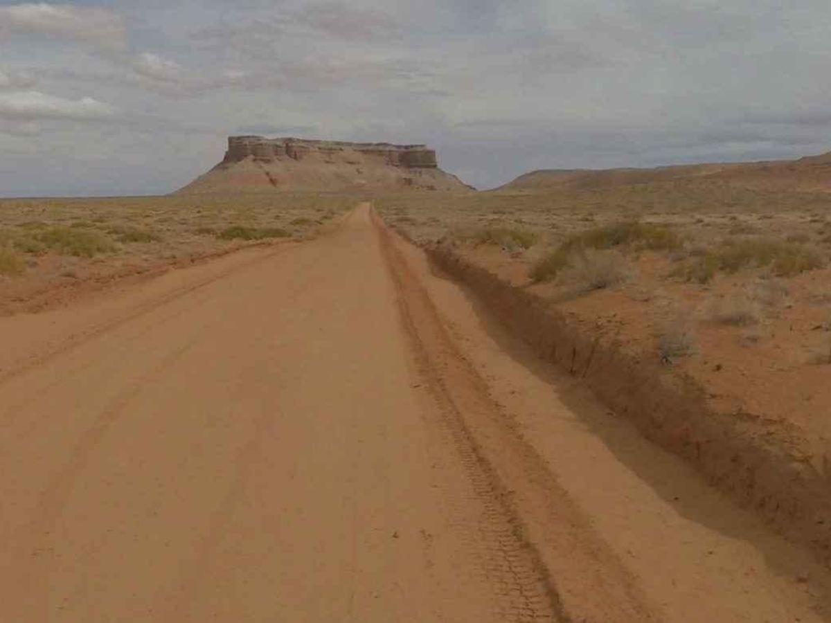
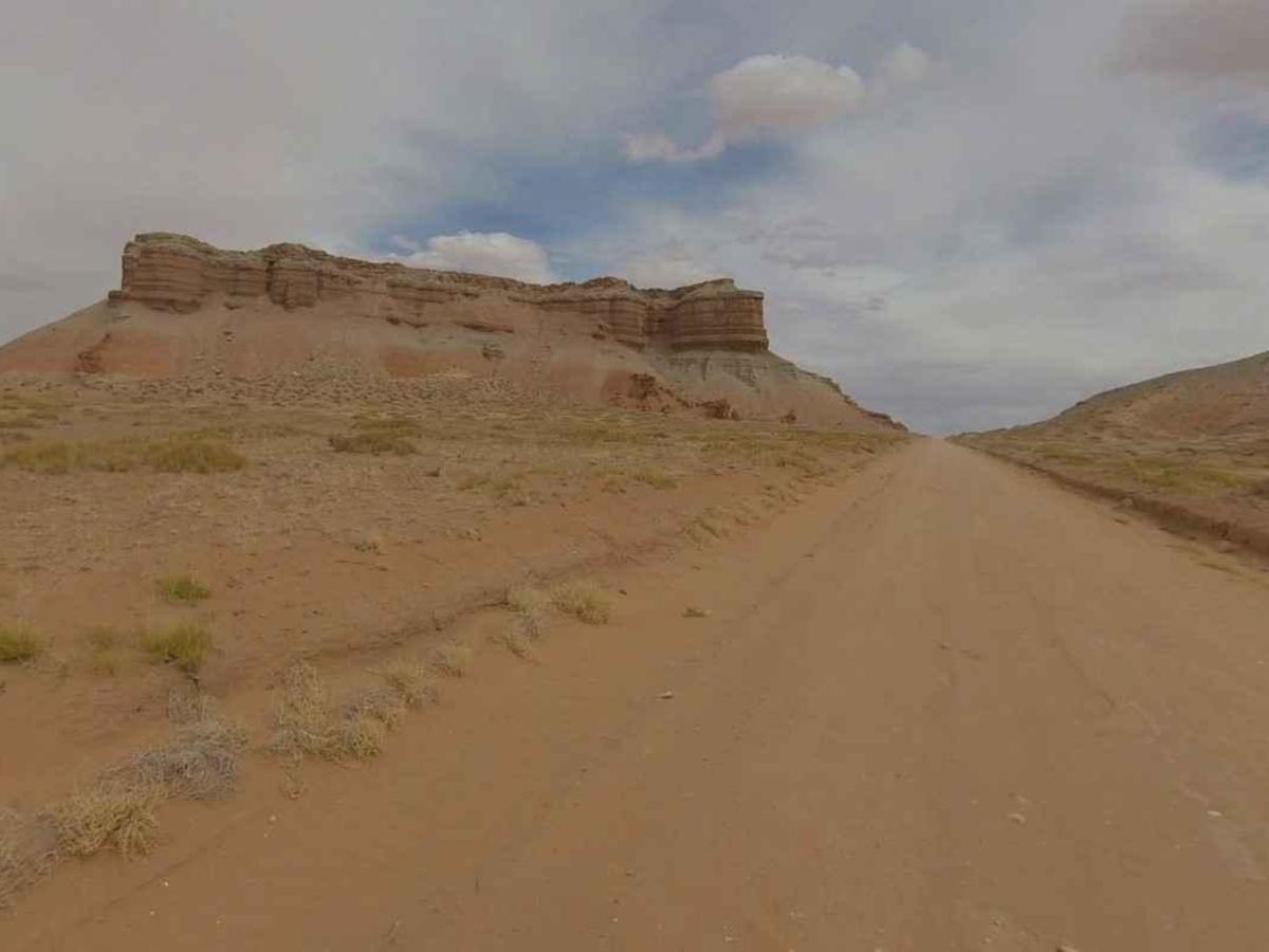
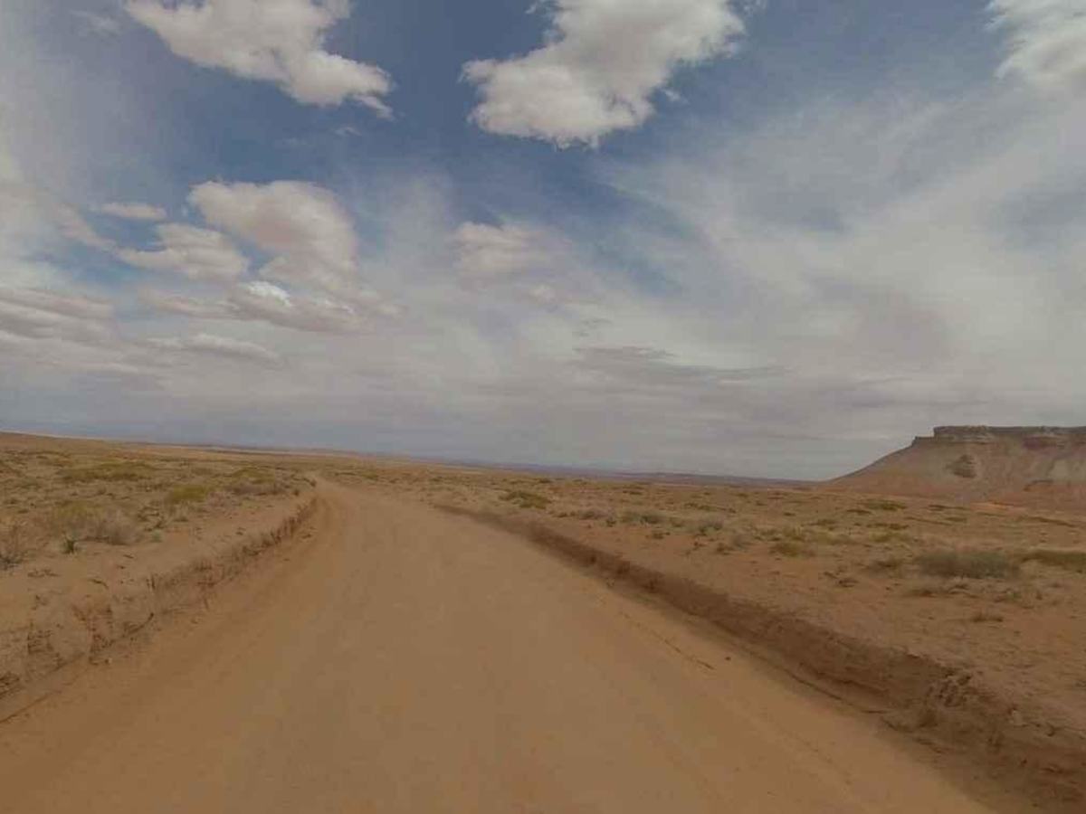
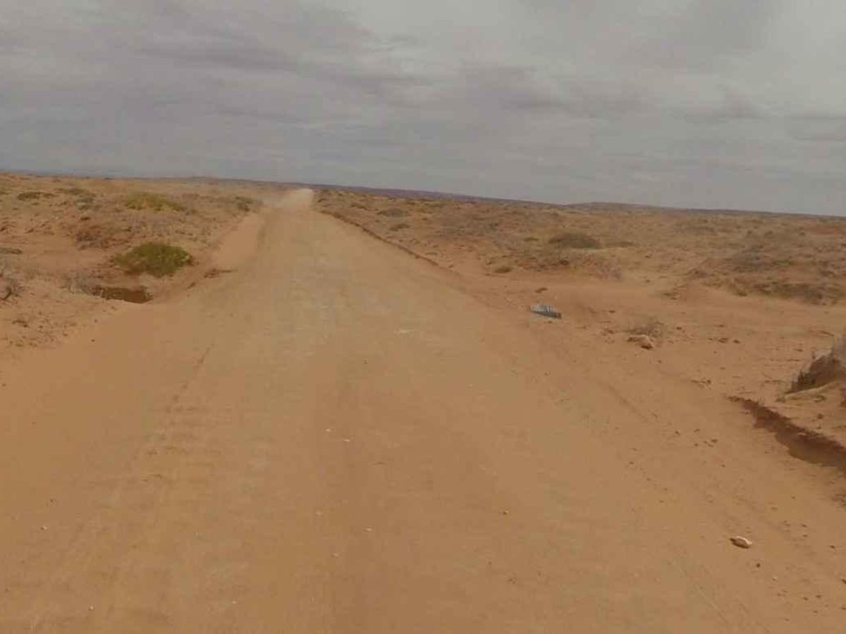
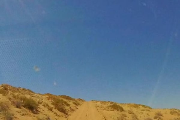
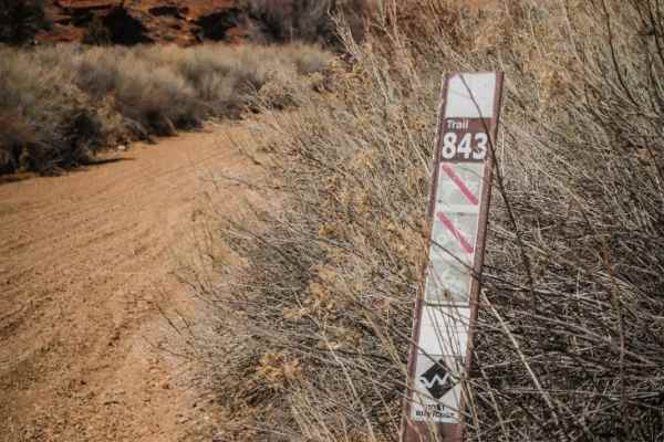
Emery County Road 1010 is a 24-mile point-to-point trail rated 2 of 10 located in Emery and Wayne Counties. ECR1010 is also the western end of the 69-mile Lower San Rafael Road which ends at County Road 1007 just south of Green River, Utah, and within 5 miles of Interstate 70 access. It is also known as Hans Flat Road as it leads to the Maze District of the Glen Canyon National Recreational Area and the Canyonlands National Park. The trail is generally well maintained and can be driven by any 2 or 4WD that has a clearance of 5 inches or more. The trail is hard-packed dirt with gravel rock and some sandy areas which unless drifting is observed should be completely passable. Most washes along the road have culverts under the roadway preventing any serious erosion. Crossing the San Rafael Desert there are three major terrain features along the trail. Just to the north of the trail at about 9.5 miles is "Little Flat Top" a major upthrust. A little further down the road to the left are "The Flat Tops" and "The Big Flat Tops." The trail has a gentle increasing slope to about 14 miles where it will climb an additional 500 feet as it ascends Texas Hill. Unless the road is very wet and muddy there should not be any issues. At the top of Texas Hill an intersection to the south is Blackburn Wash Road which loops back to Highway 24. Slowly descending off of Texas Hill the trail ends at the intersection with Lower San Rafael Road (BLM114A) and Roost Road. Here you will find a road sign with distances to local areas as well as an information kiosk. This is a very remote place. The nearest services are 30-40 miles away in Hanksville (to the south) and Green River (to the north). There is no cell service in this area.