
Dirt Bike Trails
Near Greenleaf, Wisconsin
Explore All Dirt Bike Trails Near Greenleaf, Wisconsin
Dirt Bike Trails Near Greenleaf, Wisconsin
Discover the best dirt bike trails near you. Browse trail maps, check difficulty ratings, and find your next adventure — whether you're looking for a quick ride or an all-day expedition.

#409-425 Pipeline Road to HWY 64 East
This 31.3-mile point-to-point trail in Oconto County follows an old railroad grade from the Lakewood area south toward Mountain and the Chute Pond recreation area. Designed for ATVs and side-by-sides, the route features fast, flowy, and winding dirt trails with large banked corners winding through s...
Learn more about #409-425 Pipeline Road to HWY 64 East
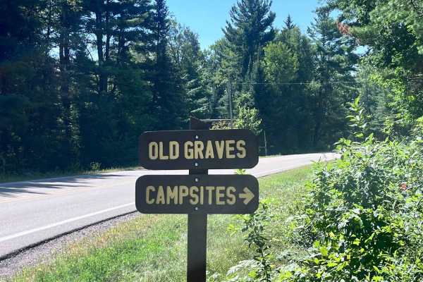
Old Grave Road
Old Grave Road - FS 2317 begins at the west intersection of County Road T, just south of the bridge over the Oconto River near the Barrier Free dispersed campsites. The road begins as a smooth gravel surface capable of accommodating most vehicles and trailers. After the first mile, the route narrows...
Learn more about Old Grave Road
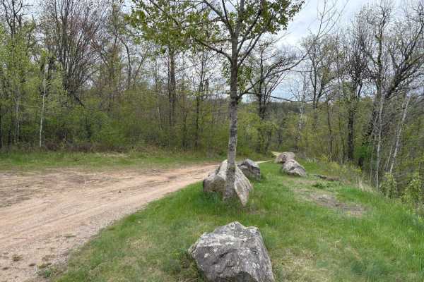
Dam Dead End
This easily flowing trail runs along the Peshtigo River, which flows down from the Johnson Fall Hydroelectric Dam. The trail features a mix of sandy whoops, hills, and scenic lookouts over the river. It eventually reaches a three-way dead end with gates at each split. A nice camping spot in one of t...
Learn more about Dam Dead End
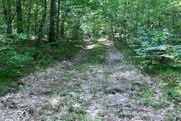
Forest Road 2330B
Forest Road 2330B begins at the intersection of Sullivan Springs Road - FS 2330 and extends west .8 miles, ending at the eastern banks of the North Branch of the Oconto River across from Snow Falls State Natural Area. The terrain of the trail starts out with multiple ruts and small exposed rocks, th...
Learn more about Forest Road 2330B
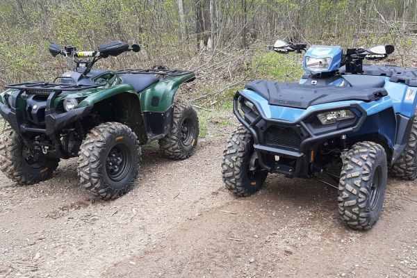
Great Bear Trail
There are a variety of dirt, sand, and gravel routes through forest roads that span from this route. It winds along a few small lakes through Oconto County. The trail runs from Lakewood south through the mountain area and wraps up close to Boulder Lake with a few route alternatives if you want to ex...
Learn more about Great Bear Trail
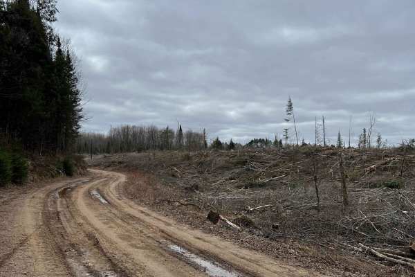
Wolf River to Junction 22A
This is a well-maintained trail courtesy of Polar Blazers. Primarily open dirt roads, this trail goes through active logging operations. The logging company graciously continues to allow access to this trail. Please stay on the trail. Maintain safe speeds especially when crossing through logging are...
Learn more about Wolf River to Junction 22A
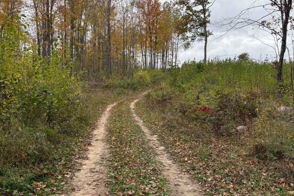
Hemlock North/South
Part of the Langlade OHMV trail system, this permit-only trail is an easy loop that leads to Hemlock Ridge. Hard park dirt and gravel with minimal trail features. It is divided up into North Hemlock and South Hemlock, but they tie together at the trail head of Hemlock Ridge, and both lead to the acc...
Learn more about Hemlock North/South
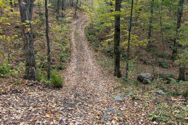
Porkey Lake Loop
The Porkey Lake Loop is part of the Langlade OHMV trail system and is rated as an "Access Trail". It is a mellow, easy trail that brings you to the trail head for "No-Eye-Deer (Rock Crawl)" and "John's Rock Crawl". It features small hills, few rocks, and a few horseback trails.
Learn more about Porkey Lake Loop
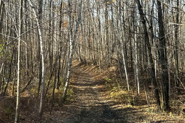
Norway Lake Loop
The Norway Lake Loop is a point-to-point trail that picks up on the eastern end from Porkey Lake Loop. It is primarily a dirt two-track with several sections of rocks and mud sections to cross. Expect a few mud holes, loose rock, and a few moderately steep sections.
Learn more about Norway Lake Loop
ATV trails near Greenleaf, Wisconsin
Explore ATV-friendly trails near you. These trails are accessible for vehicles up to 50 inches wide, perfect for ATVs and smaller off-road machines.
#409-425 Pipeline Road to HWY 64 East
This 31.3-mile point-to-point trail in Oconto County follows an old railroad grade from the Lakewood area south toward Mountain and the Chute Pond recreation area. Designed for ATVs and side-by-sides, the route features fast, flowy, and winding dirt trails with large banked corners winding through s...
Learn more about #409-425 Pipeline Road to HWY 64 East
Old Grave Road
Old Grave Road - FS 2317 begins at the west intersection of County Road T, just south of the bridge over the Oconto River near the Barrier Free dispersed campsites. The road begins as a smooth gravel surface capable of accommodating most vehicles and trailers. After the first mile, the route narrows...
Learn more about Old Grave Road
Dam Dead End
This easily flowing trail runs along the Peshtigo River, which flows down from the Johnson Fall Hydroelectric Dam. The trail features a mix of sandy whoops, hills, and scenic lookouts over the river. It eventually reaches a three-way dead end with gates at each split. A nice camping spot in one of t...
Learn more about Dam Dead End
Forest Road 2330B
Forest Road 2330B begins at the intersection of Sullivan Springs Road - FS 2330 and extends west .8 miles, ending at the eastern banks of the North Branch of the Oconto River across from Snow Falls State Natural Area. The terrain of the trail starts out with multiple ruts and small exposed rocks, th...
Learn more about Forest Road 2330B
UTV/side-by-side trails near Greenleaf, Wisconsin
Find UTV and side-by-side trails near you. These trails accommodate vehicles up to 60 inches wide, ideal for UTVs, side-by-sides, and wider off-road rigs.
#409-425 Pipeline Road to HWY 64 East
This 31.3-mile point-to-point trail in Oconto County follows an old railroad grade from the Lakewood area south toward Mountain and the Chute Pond recreation area. Designed for ATVs and side-by-sides, the route features fast, flowy, and winding dirt trails with large banked corners winding through s...
Learn more about #409-425 Pipeline Road to HWY 64 East
Old Grave Road
Old Grave Road - FS 2317 begins at the west intersection of County Road T, just south of the bridge over the Oconto River near the Barrier Free dispersed campsites. The road begins as a smooth gravel surface capable of accommodating most vehicles and trailers. After the first mile, the route narrows...
Learn more about Old Grave Road
Dam Dead End
This easily flowing trail runs along the Peshtigo River, which flows down from the Johnson Fall Hydroelectric Dam. The trail features a mix of sandy whoops, hills, and scenic lookouts over the river. It eventually reaches a three-way dead end with gates at each split. A nice camping spot in one of t...
Learn more about Dam Dead End
Forest Road 2330B
Forest Road 2330B begins at the intersection of Sullivan Springs Road - FS 2330 and extends west .8 miles, ending at the eastern banks of the North Branch of the Oconto River across from Snow Falls State Natural Area. The terrain of the trail starts out with multiple ruts and small exposed rocks, th...
Learn more about Forest Road 2330B
The onX Offroad Difference
onX Offroad combines trail photos, descriptions, difficulty ratings, width restrictions, seasonality, and more in a user-friendly interface. Available on all devices, with offline access and full compatibility with CarPlay and Android Auto. Discover what you're missing today!
Open Trail Map