Trail Overview
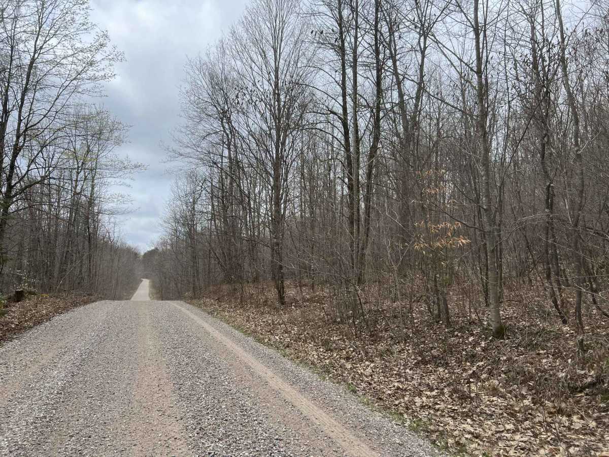
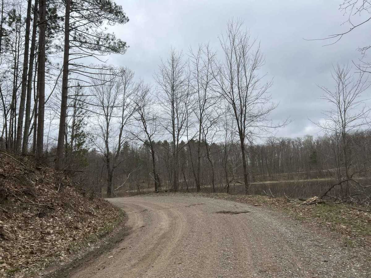
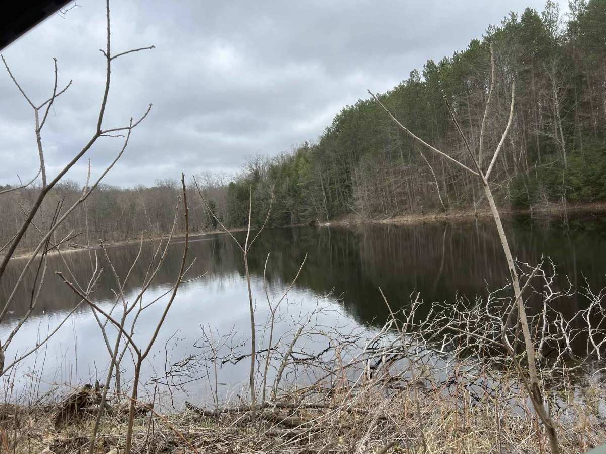
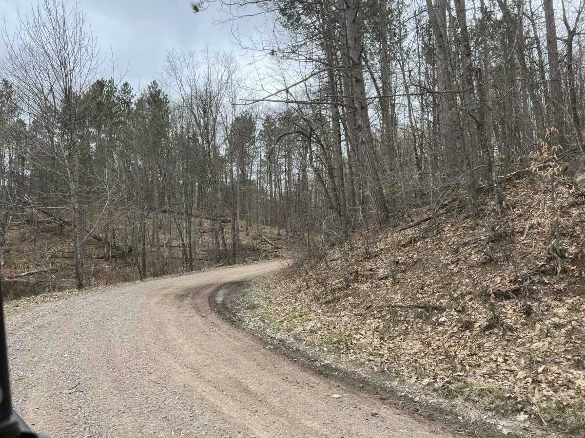
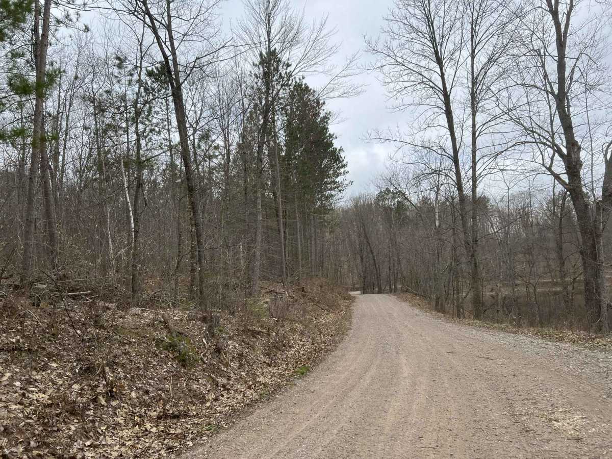
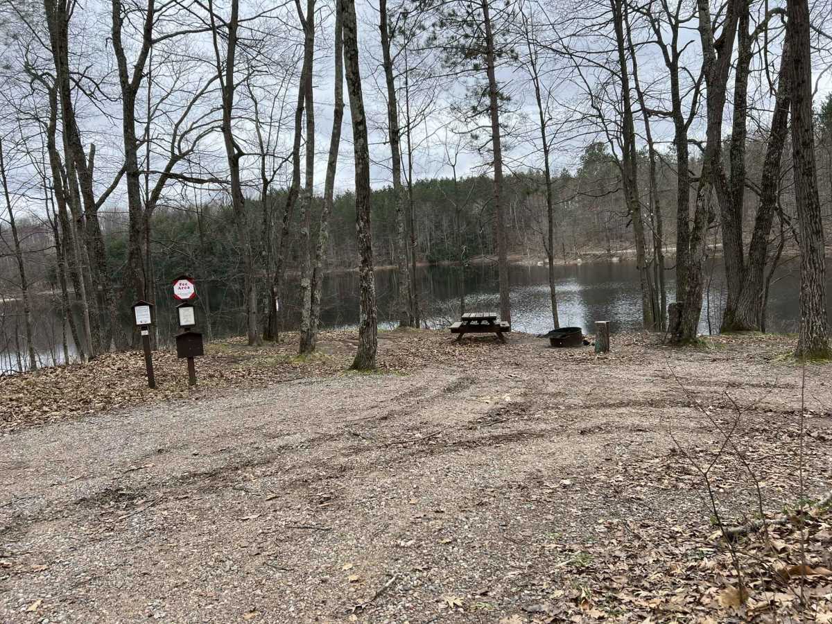
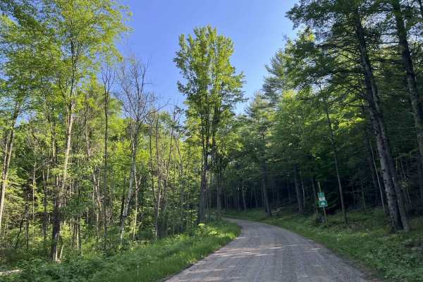
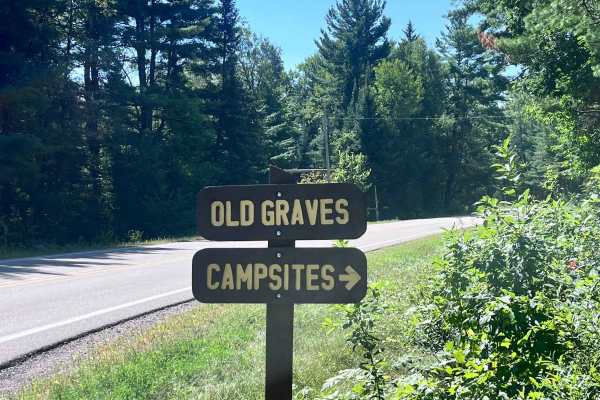
Mountain Lakes Road navigates from its intersection with FS 2316 to its intersection with County Road T. The gravel trail runs through the scenic Mountain Lakes region. If traveled north to south, the trail begins in forests dominated by young hardwoods. The trail is just under two vehicles wide, and the ditch lines are full of debris from the surrounding trees. This section of the trail is relatively flat with very few corners. As the trail begins to navigate further north, it enters the Mountain Lakes region. At this point, the trail begins to navigate across a moderately rolling landscape, remaining the same width as it was prior. After a short period of time, a sharp corner in the trail will expose Mountain Lake. The area around this lake is very hilly and makes for some excellent views all year. There are a small number of campsites situated along the lakeshore that can be reserved. Cell service in this area is very spotty and does not work for some carriers. It is best to always travel with downloaded maps. This area has a large snowmobile trail presence in the winter months. While there are some roads within the forest that do not have sled traffic, it is best to avoid them in the winter months, as navigation can be challenging.
Difficulty
This trail can be completed by riders of all experience levels. The trail is well-maintained by the local towns; the gravel base on this trail can create a considerable amount of dust when dry. The trail has great visibility throughout. However, the edge of the trail offers little in the way of space for vehicles to pull off. The trail allows access to both on-road vehicles and OHVs; be sure to be aware of your surroundings and watch for all vehicle types.