
Dirt Bike Trails
Near Gold Beach, Oregon
Explore All Dirt Bike Trails Near Gold Beach, Oregon
Dirt Bike Trails Near Gold Beach, Oregon
Discover the best dirt bike trails near you. Browse trail maps, check difficulty ratings, and find your next adventure — whether you're looking for a quick ride or an all-day expedition.
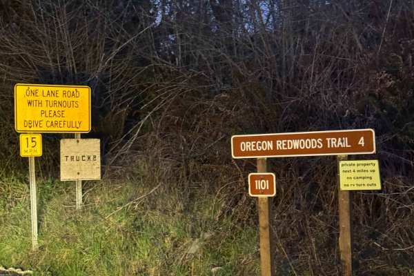
Oregon Redwoods Trail
When you turn onto Peavine Ridge, this is the start of the trail. You cross the bridge over the creek, and the road turns to dirt and gravel. The trail climbs at a steady grade with Private Property on both sides of the road until you cross into the Siskiyou National Forest. Once you enter the Natio...
Learn more about Oregon Redwoods Trail
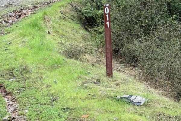
Taylor Ridge Road
This trail is best ridden during the summer. It's a great road even in the rain. Lots of trees are down on the road, depending on the time of year, as you will see in the pictures. This road is about 2 miles up Taylor Creek Road. There are a couple of good overnight camping spots on this road, as we...
Learn more about Taylor Ridge Road
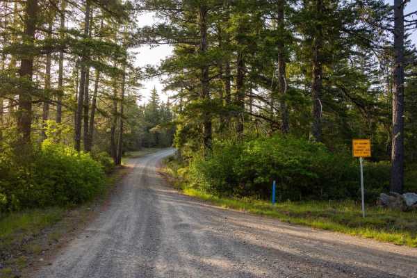
Low Divide-West - FS 305
Low Divide-West - FS 305 is a publicly accessible, hard-packed gravel service road that intersects several private properties before leading you through a long, picturesque northern section of the Six Rivers National Park, bringing you close to the California-Oregon Border. The staging area at the S...
Learn more about Low Divide-West - FS 305
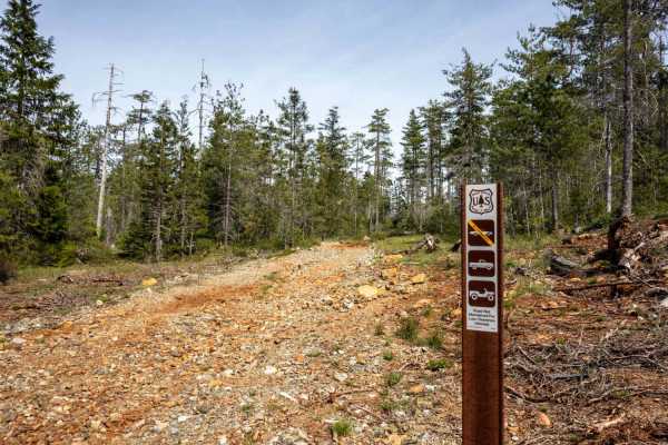
Angela Mine
Angela Mine is an intermediate trail originating off Gasquet Mountain Road - FS 17N49 that starts relatively easy, but features a lot of rocks, exposed roots, ruts, some steep climbs and descents, and a very tight, overgrown turnaround at the end of the trail near where the trail’s namesake mine onc...
Learn more about Angela Mine
Red Rock Grade
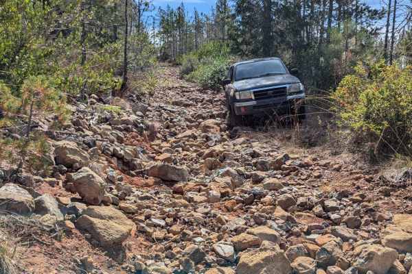
This is a fun and moderately challenging spur trail off of Gasquet Mountain Road, beginning near a good campsite. Starting from the south, the road climbs up a series of rocky switchbacks and crosses a couple of washes. The trail has become overgrown and is quite narrow, particularly in the southern...
Learn more about Red Rock Grade
Black Jack Mine
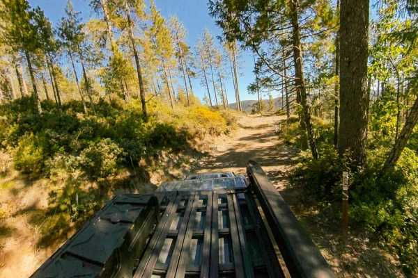
Black Jack Mine is a narrow spur trail originating off Gasquet Mountain Road [FSR 17N49] that starts relatively easy, but features a lot of rocks, plenty of ruts, some steep climbs and descents, and a tight, technical turnaround at the end of the trail that will have you off camber near a steep drop...
Learn more about Black Jack Mine

Gasquet Mountain Road - FSR 17N49
Gasquet Mountain Road (GMR) is just one of many routes available to access the beautiful Six Rivers National Forest. GMR is a single-lane gravel road that will reveal stunning views of the surrounding mountains. The road surface will change periodically from packed small gravel to loose softball siz...
Learn more about Gasquet Mountain Road - FSR 17N49
Pappas Flat
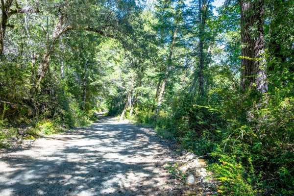
Pappas Flat is a very easy, mostly gravel service road traversable by any vehicle with a moderate amount of ground clearance that can manage small ruts and a roughly 10-degree slope at around the mid-point of the road. Although it is a very short, publicly accessible trail, this service road provide...
Learn more about Pappas Flat
Hellgate Recreation Site
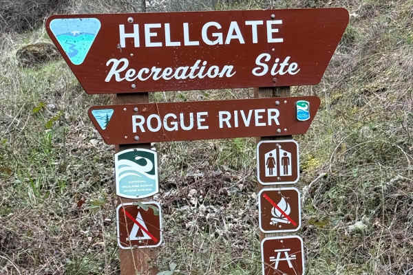
This is a nice trail that is definitely easier during the summer. The technical rating ranges from between a 1 to 3 in difficulty. There are some mud slides, but they are easy enough to get through, and the road ended at a good-sized washout. This trail goes through some beautiful country. The trail...
Learn more about Hellgate Recreation Site

Right Fork Hellgate Recreation Site
This is a gravel road with some middle-of-the-road washouts that you will have to straddle with your vehicle. Great overlook of the valley below and the Rogue River about halfway up. The trail is a bit overgrown from the winter. So if you're concerned about scratches may want to pick a different pat...
Learn more about Right Fork Hellgate Recreation Site
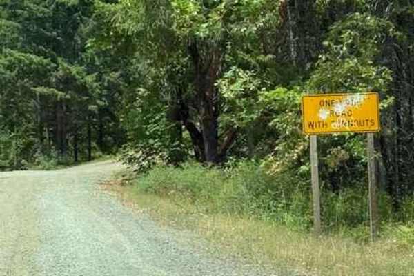
Onion Mountain, Shan Creek
Onion Mountain is a great place to break away from the crowds in town and take in some beautiful scenery. If you're lucky, you might even see a bear or two. Most of the trails are open year-round; however, heavy snow can be expected in the winter, and there are spots where you can get cell phone rec...
Learn more about Onion Mountain, Shan Creek
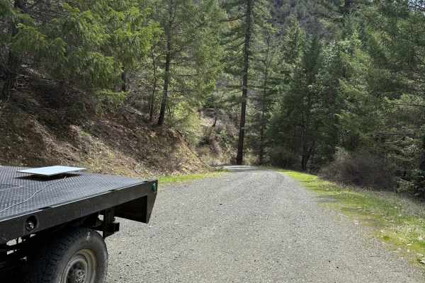
Lower Stratton Creek Road
This is a nice and easy drive. It is a gravel road with some low branches, but most full-size trucks will fit under them. There are no real washouts on this section, even with all the rain. The trail is pretty easy to drive most times of the year. The trail has a nice turnaround at the end.
Learn more about Lower Stratton Creek Road
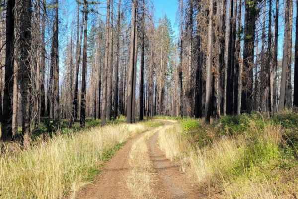
Page Mountain
Page Mountain is an easy, scenic 2.1-mile trail in the Rogue River-Siskiyou National Forest of southwest Oregon, perfect for beginners, stock four-wheel-drive vehicles, and high-clearance SUVs seeking a quick mountain escape. Winding through dense forest near the California border, this route climbs...
Learn more about Page Mountain
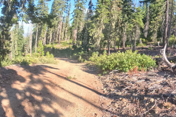
Poker - FS 18N56
FS 18N56, known locally as Poker, is a scenic, out-and-back hillside spur plunging into the Klamath National Forest. The route begins under a thick, shaded canopy of mature pines before traversing an exposed ridgeline severely impacted by recent wildfires, offering expansive, unobstructed views of t...
Learn more about Poker - FS 18N56
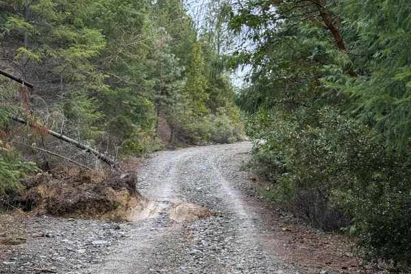
Walker Mountain Road
This trail follows a decent road that is somewhat rocky but not overly difficult. Located a short drive from Grants Pass, it offers great scenery and several pull-offs suitable for stopping to enjoy lunch and take in impressive mountain views. It remains passable in light rain and is well worth the ...
Learn more about Walker Mountain Road
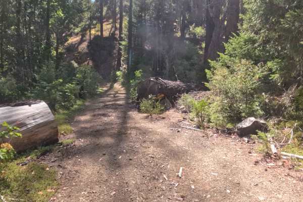
Sutcliffe - FS 18N30G
FS 18N30G, locally known as Sutcliffe, operates as a short, out-and-back woodland spur providing a heavily shaded detour off the main logging routes. Immersed deep within the Klamath National Forest, the corridor cuts a relatively flat path through a thriving, densely packed evergreen environment. T...
Learn more about Sutcliffe - FS 18N30G
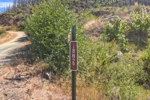
Tom Gray - FS 18N27
FS 18N27, also known locally as Tom Gray, operates as a wide, well-maintained gravel connector road climbing steadily into the Klamath National Forest. Peeling off from Highway 48, the route ascends through a heavily affected landscape recovering from the 2020 Slater Fire, where thick patches of gre...
Learn more about Tom Gray - FS 18N27
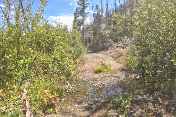
West Branch - FS 18N31D
Branching off the main forest artery, FS 18N31D—known locally as West Branch—functions as a rugged out-and-back access spur leading directly into West Branch Campground. The route winds through the steep terrain of the Klamath National Forest, an environment deeply scarred and actively recovering fr...
Learn more about West Branch - FS 18N31D
Cola - FS 17N46
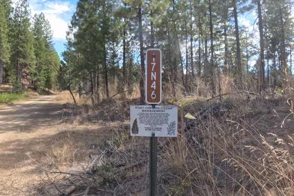
Branching off the primary forestry network, Forest Service Road 17N46—also known as Cola—functions as a quiet, out-and-back woodland spur descending into the Klamath National Forest. This route immerses visitors in a dense, mature environment of towering pines and protected Port-Orford-cedars, where...
Learn more about Cola - FS 17N46
Dead Horse Revenge
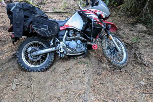
This trail is a fun out-and-back route that offers great views and some fun terrain. Originally the trail connects back to Coos Bay Wagon road, however, aside from the trail becoming very difficult at the end of this route, it appears that RFP posted signs closing the trail to motor vehicles. Althou...
Learn more about Dead Horse Revenge
ATV trails near Gold Beach, Oregon
Explore ATV-friendly trails near you. These trails are accessible for vehicles up to 50 inches wide, perfect for ATVs and smaller off-road machines.
Oregon Redwoods Trail
When you turn onto Peavine Ridge, this is the start of the trail. You cross the bridge over the creek, and the road turns to dirt and gravel. The trail climbs at a steady grade with Private Property on both sides of the road until you cross into the Siskiyou National Forest. Once you enter the Natio...
Learn more about Oregon Redwoods Trail
Taylor Ridge Road
This trail is best ridden during the summer. It's a great road even in the rain. Lots of trees are down on the road, depending on the time of year, as you will see in the pictures. This road is about 2 miles up Taylor Creek Road. There are a couple of good overnight camping spots on this road, as we...
Learn more about Taylor Ridge Road
Low Divide-West - FS 305
Low Divide-West - FS 305 is a publicly accessible, hard-packed gravel service road that intersects several private properties before leading you through a long, picturesque northern section of the Six Rivers National Park, bringing you close to the California-Oregon Border. The staging area at the S...
Learn more about Low Divide-West - FS 305
Angela Mine
Angela Mine is an intermediate trail originating off Gasquet Mountain Road - FS 17N49 that starts relatively easy, but features a lot of rocks, exposed roots, ruts, some steep climbs and descents, and a very tight, overgrown turnaround at the end of the trail near where the trail’s namesake mine onc...
Learn more about Angela Mine
UTV/side-by-side trails near Gold Beach, Oregon
Find UTV and side-by-side trails near you. These trails accommodate vehicles up to 60 inches wide, ideal for UTVs, side-by-sides, and wider off-road rigs.
Oregon Redwoods Trail
When you turn onto Peavine Ridge, this is the start of the trail. You cross the bridge over the creek, and the road turns to dirt and gravel. The trail climbs at a steady grade with Private Property on both sides of the road until you cross into the Siskiyou National Forest. Once you enter the Natio...
Learn more about Oregon Redwoods Trail
Taylor Ridge Road
This trail is best ridden during the summer. It's a great road even in the rain. Lots of trees are down on the road, depending on the time of year, as you will see in the pictures. This road is about 2 miles up Taylor Creek Road. There are a couple of good overnight camping spots on this road, as we...
Learn more about Taylor Ridge Road
Low Divide-West - FS 305
Low Divide-West - FS 305 is a publicly accessible, hard-packed gravel service road that intersects several private properties before leading you through a long, picturesque northern section of the Six Rivers National Park, bringing you close to the California-Oregon Border. The staging area at the S...
Learn more about Low Divide-West - FS 305
Angela Mine
Angela Mine is an intermediate trail originating off Gasquet Mountain Road - FS 17N49 that starts relatively easy, but features a lot of rocks, exposed roots, ruts, some steep climbs and descents, and a very tight, overgrown turnaround at the end of the trail near where the trail’s namesake mine onc...
Learn more about Angela Mine
The onX Offroad Difference
onX Offroad combines trail photos, descriptions, difficulty ratings, width restrictions, seasonality, and more in a user-friendly interface. Available on all devices, with offline access and full compatibility with CarPlay and Android Auto. Discover what you're missing today!
Open Trail Map