
Dirt Bike Trails
Near Gillette, Wyoming
Explore All Dirt Bike Trails Near Gillette, Wyoming
Dirt Bike Trails Near Gillette, Wyoming
Discover the best dirt bike trails near you. Browse trail maps, check difficulty ratings, and find your next adventure — whether you're looking for a quick ride or an all-day expedition.
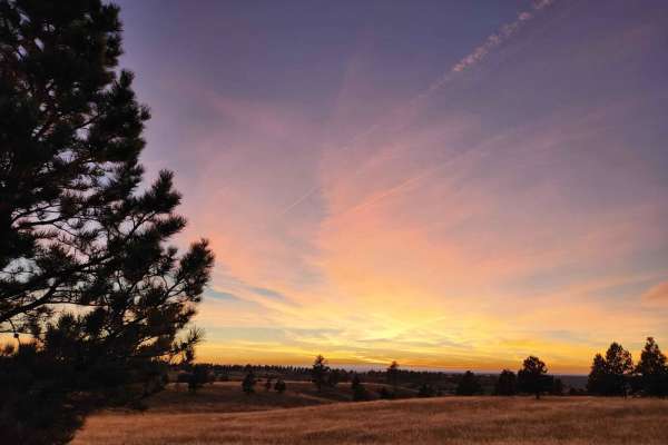
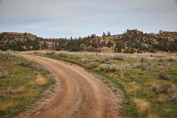
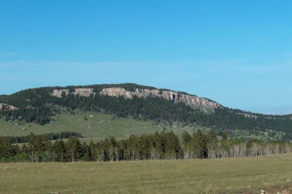
Weston Hills
This trail has exceptionally beautiful scenery and rock formations with abundant wildlife to spot along the way. Some areas can be challenging if there are oncoming vehicles, due to blind transitions on the steep grades. There are additional spur trails that are beyond this route and are only access...
Learn more about Weston Hills
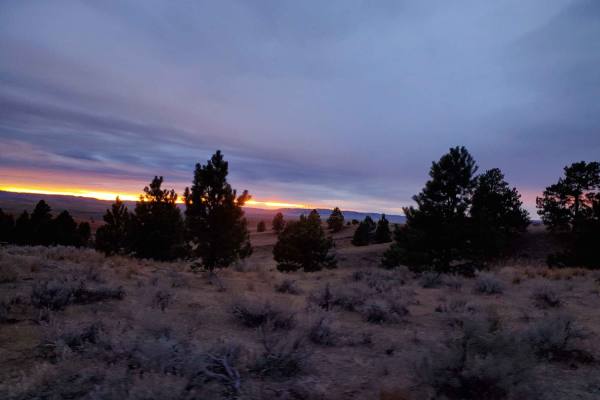
DJ 220
This is an easy and slow drive with a few hills to climb along the way. Most of the hills could get very difficult if there is any measurable amount of rain. Towards the end there are several areas where you have to open and close several fences. There are lots of opportunities to see mule deer, coy...
Learn more about DJ 220
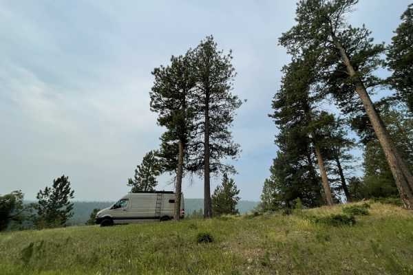
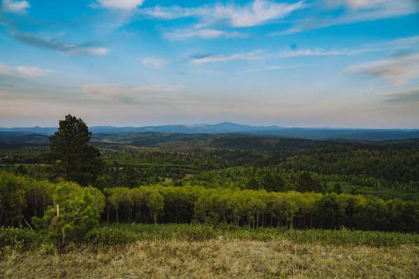
Bear Lodge
Bear Lodge is an easy well maintained road for Jeeps, SUVs, Overlanders and horse trailers. 4x4 might be needed in the spring, as there might still be snow and mud. Any vehicle, without four-wheel-drive, may enjoy this road during the dry season. This road has many access points for mountain biking,...
Learn more about Bear Lodge
Kingsbury/Todd Cabin to Hazelton Road
This trail goes through beautiful Bighorn Mountain meadows. There are numerous camping sites...just park your camper anywhere and stay for 2 weeks for free. You won't see neighbors anywhere close, and you're very likely to have moose and elk wander by your campsite. The historical cabin is restored...
Learn more about Kingsbury/Todd Cabin to Hazelton Road

Reanus Cone Trail Part 2
Reanus Cone Road is a single-lane wide dirt track that leads up and over the Reanus Cone, a geological feature in Powder River County, Montana. This road weaves upward through beautiful pines and grassland to travel large meadows and grassland at its summit. Primitive camping is available, especiall...
Learn more about Reanus Cone Trail Part 2
Reanus Cone Trail Part 1
The Reanus Cone Trails are winding single tracks that lead through the mixed pine of the Custer National Forest to a couple of immense meadows. In these high meadows, you might see wild turkeys, a prairie dog or two, and mule deer along your way. This relaxing drive has a few mud holes, but no obsta...
Learn more about Reanus Cone Trail Part 1
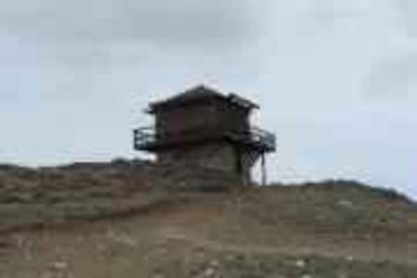
Sheep Mountain Fire Lookout Tower
From Highway 16, west of Buffalo, you take the Sheep Mountain Road to the lookout. It's an easy ride with spectacular views at the top. The fire lookout facility sits at 9600 feet in the beautiful Bighorn Mountains. You can stay overnight at the facility (rented by the Forest Service) or you can ...
Learn more about Sheep Mountain Fire Lookout Tower
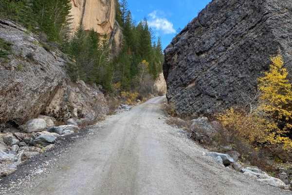
Crazy Woman Canyon Road
The canyon is a spectacular sight, and one of the best nature attractions in Northeast Wyoming. The road that winds through the canyon is lined with steep cliffs on both sides and immense boulders. Crazy Woman Canyon Road is approximately 13 miles long and follows Crazy Woman Creek through the canyo...
Learn more about Crazy Woman Canyon Road
Hole In the Wall Overlook
This 40-mile trail starts in Kaycee, Wyoming, right off of I-25, and takes you to the canyon rim overlooking the Hole in the Wall Valley and Hole in the Wall Pass. You can stage in Kaycee and take Old Highway 87 south on the pavement to the underpass, which goes under I-25. From there, this track st...
Learn more about Hole In the Wall Overlook
Slip Road
This beautiful drive connects the southern Bighorn National Forest to the small community of Mayoworth. The road's steep grades are almost as impressive as the scenery. Up high, you'll pass patchy forests, broad meadows, and rock outrcrops. The lower road is guarded by dramatic red bluffs. With broa...
Learn more about Slip Road
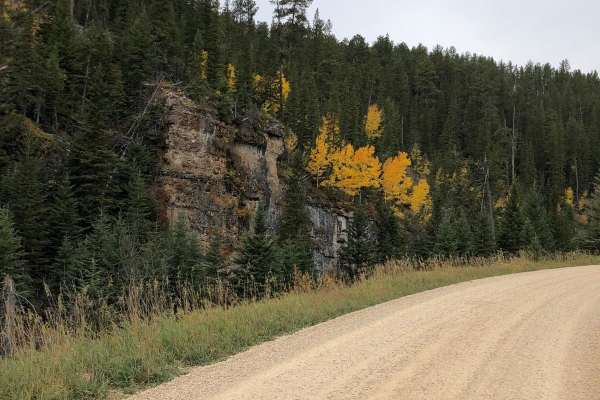
Boundary Gulch
Boundary Gulch trail is a Black Hills favorite for off-road enthusiasts of all kinds. The trail leads you to the Cement Ridge Fire lookout. Along the way, you will find ponds, scenic outlooks and the remnants of Tinton Town, an old mining town that turned into a sawmill for the area. There is privat...
Learn more about Boundary Gulch
Beaver Creek Road (FS 111)
Beaver Creek Road (FS 111) is an easy, scenic gravel route through the Black Hills National Forest, making it an excellent option for scenic drivers, campers, and overlanders seeking a peaceful mountain escape. Spanning approximately 5.6 miles across the Wyoming and South Dakota border, this well-ma...
Learn more about Beaver Creek Road (FS 111)
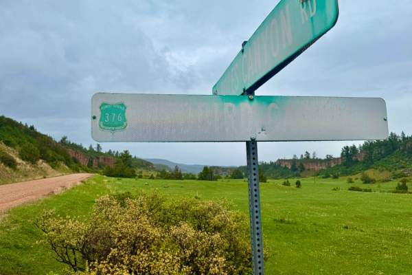
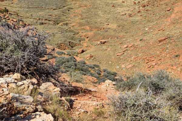
Redbird Canyon Road
Redbird Canyon Road (FS 376) is a scenic gravel route nestled within the Black Hills National Forest, offering a tranquil drive through dense pine forests and striking red rock outcrops. The road meanders through a series of homesteads before the canyon narrows, revealing a diverse mix of pine and d...
Learn more about Redbird Canyon Road
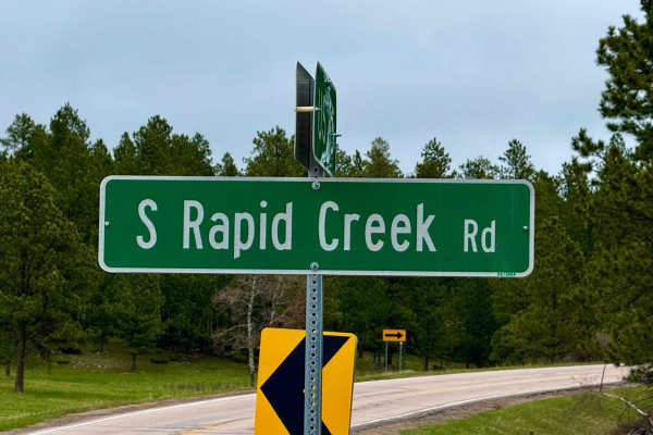
South Rapid 231.5
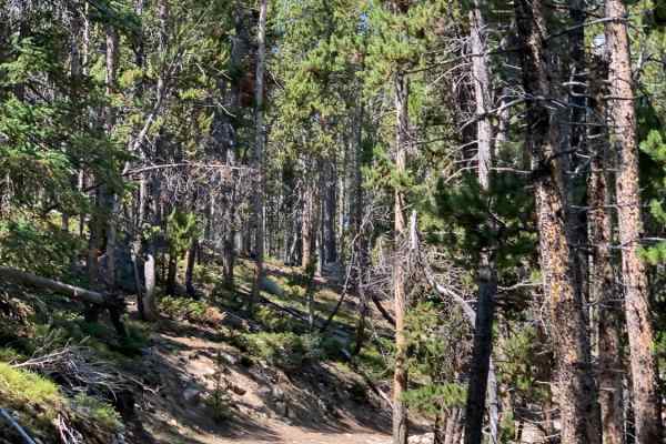
Don't sleep on 231.5 -- this is a full-on 12-mile run through classic northern Black Hills country, starting muddy and tight in subalpine fir and opening up as it drops toward Black Fox Campground. It runs parallel to the creek in spots, winding through some steep cuts and shaded drainages where you...
Learn more about South Rapid 231.5
FR 365
This short out and back spur of FR 394 travels through dense forest to the open meadow of Triangle Park where there is a foot trailhead. The road is mostly dirt with scattered rocks and becomes narrower as it progresses. The descent into Triangle Park is moderately steep with loose rocks. This spur ...
Learn more about FR 365
ATV trails near Gillette, Wyoming
Explore ATV-friendly trails near you. These trails are accessible for vehicles up to 50 inches wide, perfect for ATVs and smaller off-road machines.
Weston Hills
This trail has exceptionally beautiful scenery and rock formations with abundant wildlife to spot along the way. Some areas can be challenging if there are oncoming vehicles, due to blind transitions on the steep grades. There are additional spur trails that are beyond this route and are only access...
Learn more about Weston Hills
DJ 220
This is an easy and slow drive with a few hills to climb along the way. Most of the hills could get very difficult if there is any measurable amount of rain. Towards the end there are several areas where you have to open and close several fences. There are lots of opportunities to see mule deer, coy...
Learn more about DJ 220
Bear Lodge
Bear Lodge is an easy well maintained road for Jeeps, SUVs, Overlanders and horse trailers. 4x4 might be needed in the spring, as there might still be snow and mud. Any vehicle, without four-wheel-drive, may enjoy this road during the dry season. This road has many access points for mountain biking,...
Learn more about Bear Lodge
Kingsbury/Todd Cabin to Hazelton Road
This trail goes through beautiful Bighorn Mountain meadows. There are numerous camping sites...just park your camper anywhere and stay for 2 weeks for free. You won't see neighbors anywhere close, and you're very likely to have moose and elk wander by your campsite. The historical cabin is restored...
Learn more about Kingsbury/Todd Cabin to Hazelton Road
UTV/side-by-side trails near Gillette, Wyoming
Find UTV and side-by-side trails near you. These trails accommodate vehicles up to 60 inches wide, ideal for UTVs, side-by-sides, and wider off-road rigs.
Weston Hills
This trail has exceptionally beautiful scenery and rock formations with abundant wildlife to spot along the way. Some areas can be challenging if there are oncoming vehicles, due to blind transitions on the steep grades. There are additional spur trails that are beyond this route and are only access...
Learn more about Weston Hills
DJ 220
This is an easy and slow drive with a few hills to climb along the way. Most of the hills could get very difficult if there is any measurable amount of rain. Towards the end there are several areas where you have to open and close several fences. There are lots of opportunities to see mule deer, coy...
Learn more about DJ 220
Bear Lodge
Bear Lodge is an easy well maintained road for Jeeps, SUVs, Overlanders and horse trailers. 4x4 might be needed in the spring, as there might still be snow and mud. Any vehicle, without four-wheel-drive, may enjoy this road during the dry season. This road has many access points for mountain biking,...
Learn more about Bear Lodge
Kingsbury/Todd Cabin to Hazelton Road
This trail goes through beautiful Bighorn Mountain meadows. There are numerous camping sites...just park your camper anywhere and stay for 2 weeks for free. You won't see neighbors anywhere close, and you're very likely to have moose and elk wander by your campsite. The historical cabin is restored...
Learn more about Kingsbury/Todd Cabin to Hazelton Road
The onX Offroad Difference
onX Offroad combines trail photos, descriptions, difficulty ratings, width restrictions, seasonality, and more in a user-friendly interface. Available on all devices, with offline access and full compatibility with CarPlay and Android Auto. Discover what you're missing today!
Open Trail Map