Weston Hills

Total Miles12.1
Technical Rating
3Easy
Best TimeSpring, Summer, Fall
Trail TypeFull-Width Road
Accessible By
Open Trail Map

Trail Overview

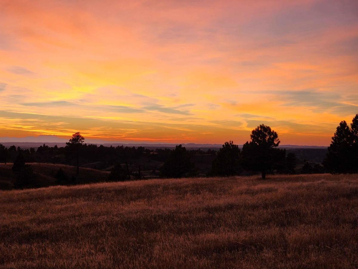
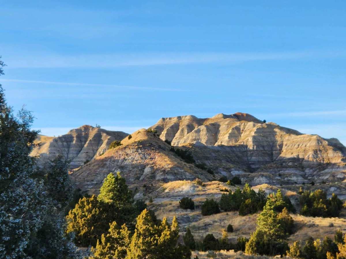
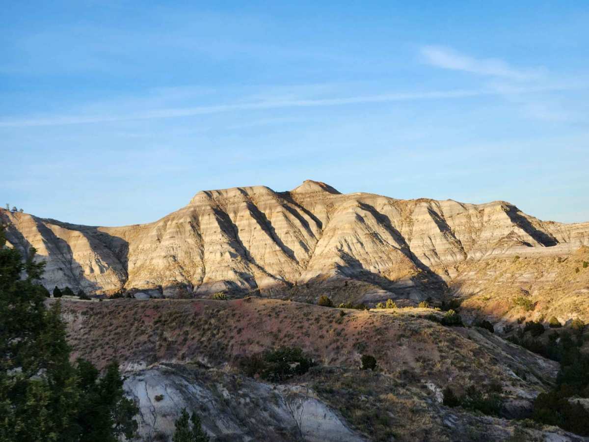
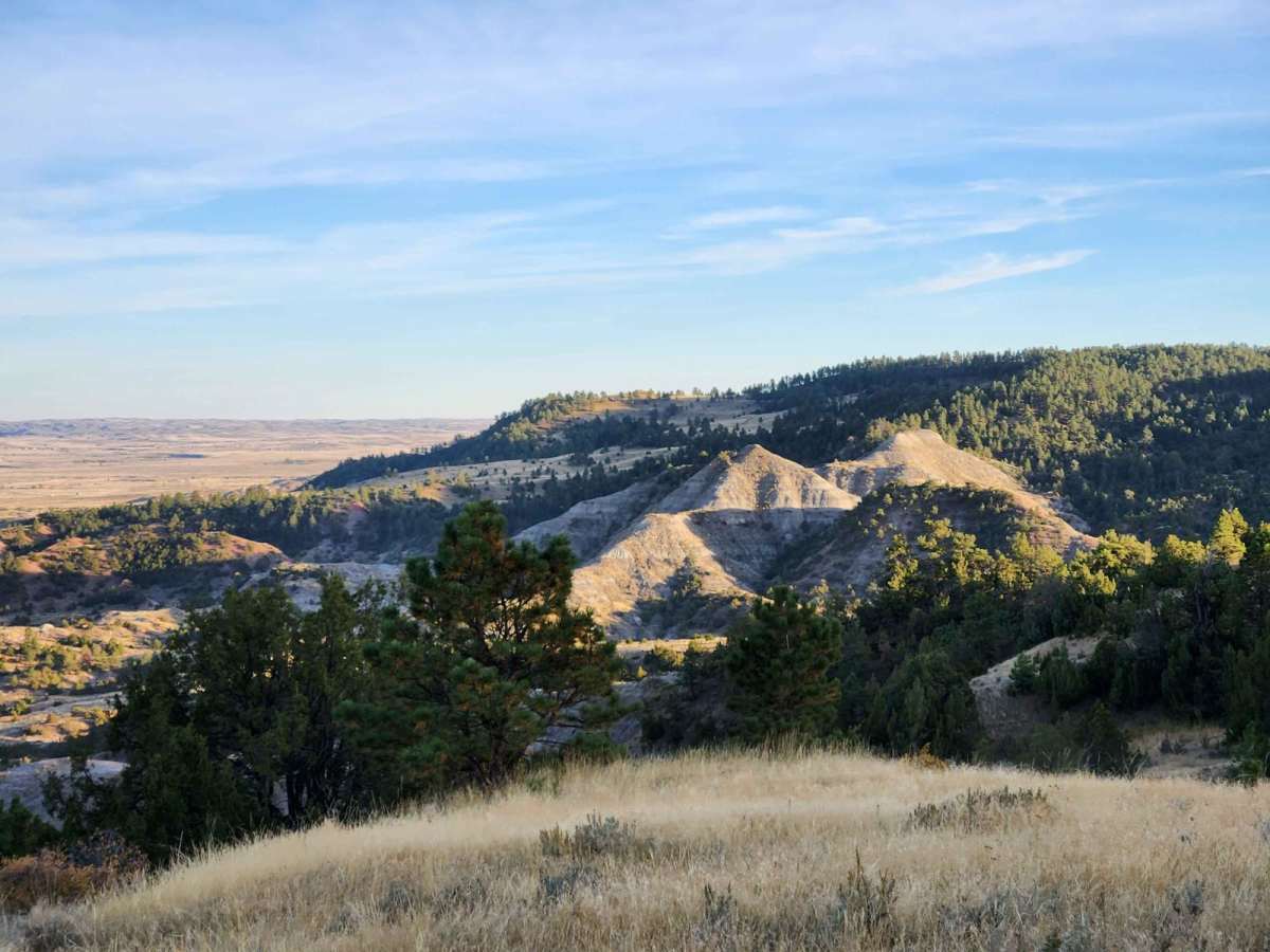
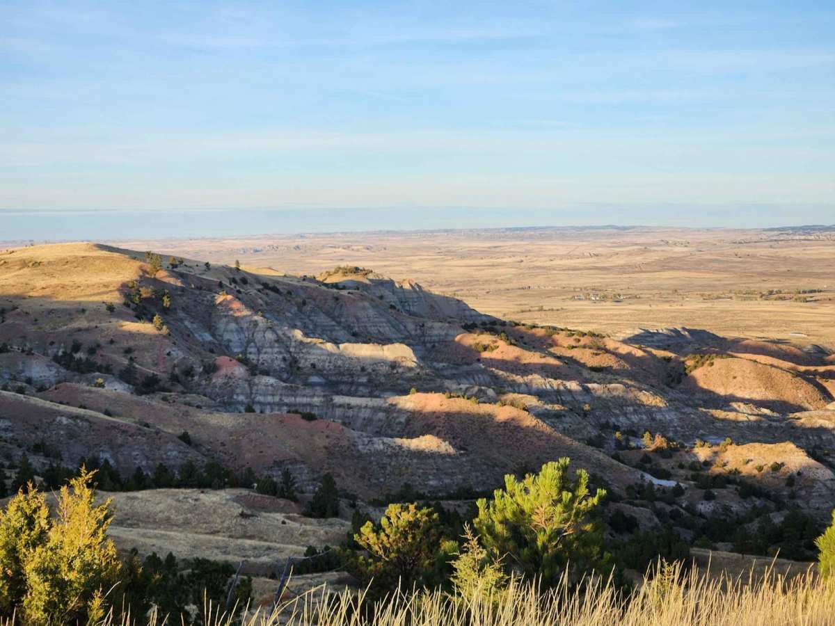
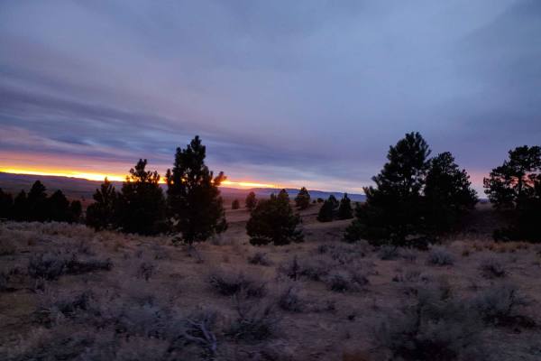
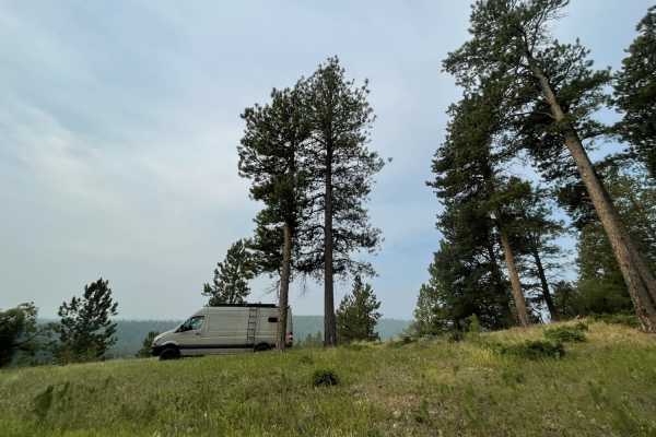
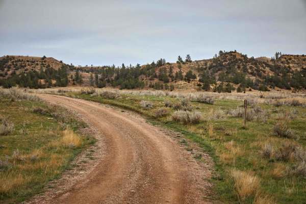
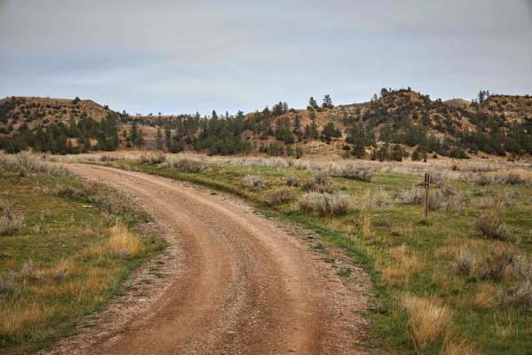
Weston Hills is an excellent riding area for off-roaders of all skill levels, showcasing rugged clay hills, scenic rock formations, and stands of ponderosa pines. Spanning approximately 12.1 miles, the route climbs from an elevation of 3,805 feet to a peak of 4,519 feet, offering four-wheel-drive vehicles, SxSs, and dirt bikes an engaging trek through public lands. The trail features a series of well-maintained unpaved roads and dirt paths that wind through rolling terrain, where drivers will encounter steep grades that can become slick and challenging when wet. Blind hill crests and narrow transitions require caution, especially when scanning for oncoming traffic or local wildlife like mule deer and antelope along the path. Standard high-clearance four-wheel-drive vehicles can easily navigate the main loop under dry conditions, though wet weather turns the bentonite clay into sticky mud that can render the route impassable. Several first-come, first-served primitive campsites are scattered along the trail, providing quiet spots to camp under the Wyoming sky. A staging area at the entrance near North Highway 59 and Heald Road features a spacious dirt parking lot and vault toilets, making it the perfect spot to unload SxSs, ATVs, or motorcycles before heading deep into the recreation area. From the main track, narrow, single-track spur trails branch off into the rugged hills, offering advanced riding opportunities exclusively for motorcycles and smaller off-highway vehicles.

Photos of Weston Hills

Difficulty

These are very well-maintained trails with some steep grades that may be challenging or even impassable if the trail is muddy. Most areas are accessible with a standard vehicle, but high clearance is a necessity to access some of the remote areas.

Technical Rating

3

Status Reports

Add Status Report
juan r
Jun 30, 2026
2024 Toyota RAV4
Open
NormalDusty
It was a fun short ride. I went up the main road then went south. I attempted going north but it was pretty steep for me. I was able to get up but decided to return since I went solo.
Reese Hendrickson
Jun 04, 2024
Open
NormalDustyWashboard
Erek Lewallen
May 19, 2024
2019 Jeep Cherokee
Open
Muddy/WetRough/Deteriorated
Nice little drive where I typically take mine and my friends new 4x4 vehicles to see what they can do stock. There’s some offshoots on the trail that are good places to push a vehicle a little bit. There’s couple of mud holes with bypasses at every obstacle. As you get deeper in it gets to be a little more tricky with a couple of sharp cutbacks and steep descents but all in all a nice easy afternoon 4x4 drive that becomes a quite a bit more difficult in the rain and snow. Don’t take a low clearance vehicle too far in as the ruts can get pretty deep especially after rain and snow.
Josh Berry
Nov 25, 2023
Open
Dusty
Chase Floodman
Sep 01, 2023
Open
Normal
Jared Golinvaux
May 06, 2023
1998 Ford Ranger
Open
NormalDusty

Weston Hills Trail can be accessed by the following ride types:

  • Single Track
  • 50 Inch
  • 60 Inch
  • High Clearance
  • Full Width

Access Description

The trail is located within the Weston Hills Recreation Area, managed by the Bureau of Land Management (BLM). There are no fees or permits required to access the area. The route is open year-round, but severe winter weather or heavy rains can make the bentonite clay roads slick, muddy, and impassable.

Weston Hills Map

The onX Offroad Difference

onX Offroad combines trail photos, descriptions, difficulty ratings, width restrictions, seasonality, and more in a user-friendly interface. Available on all devices, with offline access and full compatibility with CarPlay and Android Auto. Discover what you're missing today!

Open Trail Map