
Dirt Bike Trails
Near Fountain Hills, Arizona
Explore All Dirt Bike Trails Near Fountain Hills, Arizona
Dirt Bike Trails Near Fountain Hills, Arizona
Discover the best dirt bike trails near you. Browse trail maps, check difficulty ratings, and find your next adventure — whether you're looking for a quick ride or an all-day expedition.
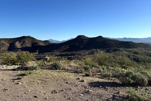
LU-MI Trail
Lowrange Uphill Mountainous Incline – This trail is short but leads to a great lookout point. Expect sharp turns and steep grades; 4LO is required on the uphill. Depending on your line choice, some rigs may need to lock a differential. A spotter would be very helpful on the final portion of this tra...
Learn more about LU-MI Trail
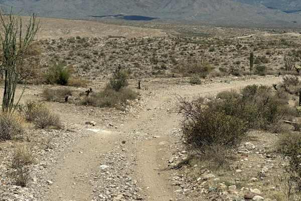
AR-LO Trail
AR-LO - "Advance Route - Low Obstacle". This route through the bulk of it would be widely considered a 3, but one obstacle puts this at a 4. Many ruts, dips, and bumps reach about 12 inches in height at the max. On this trail, at the 2-mile mark, there is a fun obstacle with a steep decline. With co...
Learn more about AR-LO Trail
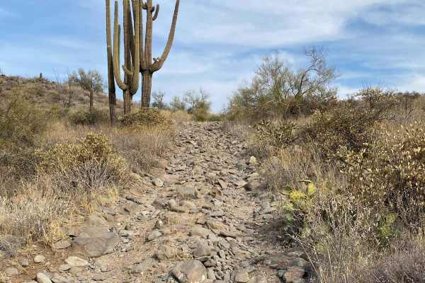
160C - Eagle Viewpoint
Trail 160C is an out and back trail that heads due West from the intersection of 160B and 1089. This trail dead ends at a locked gate that is the habitat for Desert Nesting Bald Eagles and does not connect to the Verde River. This trail is mostly through an open desert setting with many loose baseba...
Learn more about 160C - Eagle Viewpoint
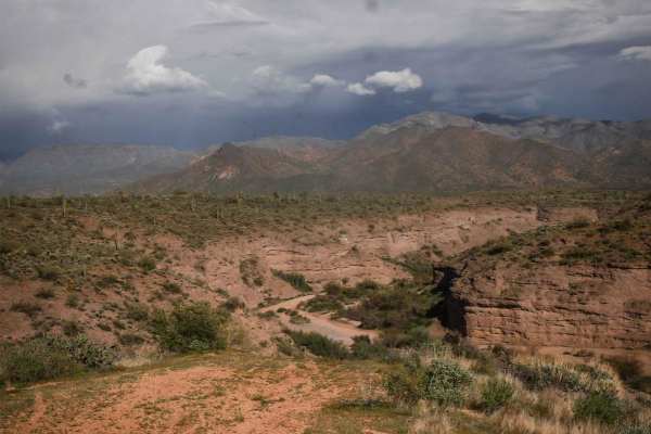
398 Powerline
398 is a longer powerline trail in the Tonto National Forest near Camp Creek, Arizona. It's a main route from the west entrance to this OHV area off of North 14th Street and runs east, accessing tons of 4x4 trails before ending at an overlook of the canyon that is Camp Creek. A lot of it is a wide a...
Learn more about 398 Powerline
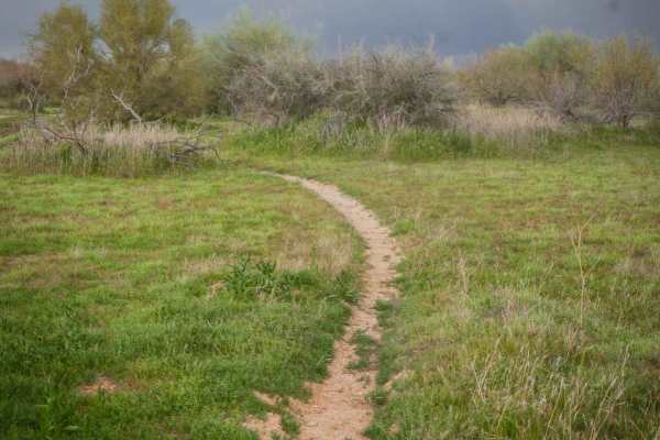
Camp Creek Access Single Track
You can take this short single track from the staging area off of North 14th Street to access the Powerline Trail, which will take you to the many other off-roading trails in this zone of the Tonto National Forest. The trail is a mile-long meander through the green desert landscape full of saguaros ...
Learn more about Camp Creek Access Single Track
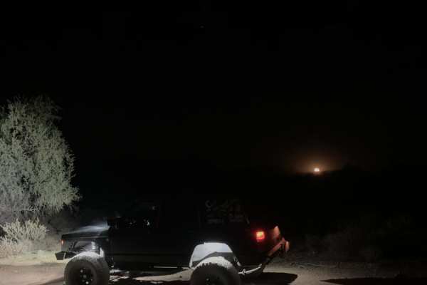
Bulldog Wash
This trail is just off Ellsworth Road and takes you right to Bulldog Canyon trail. Most of it is a sandy wash that weaves around the Arizona desert. Expect some canyon walls, with one rocky section and a dirt and rock hill halfway through the trail. You will need a code to access this trail. The cod...
Learn more about Bulldog Wash
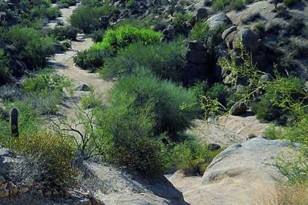
Sycamore Creek
The OHV trails here are extensive. You could spend days exploring this area. If you want a fun, challenging obstacle, try the canyon east of Squeeze Rock. ATVS, UTVs and dirt bikes will especially like this network of trails.
Learn more about Sycamore Creek
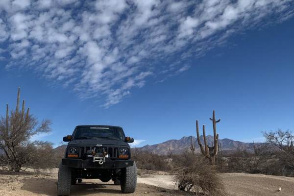
Rolls Road
Rolls Road is an easy 7.1-mile point-to-point trail within the Tonto National Forest, perfect for beginner offroaders, side-by-sides, and high-clearance four-wheel-drive vehicles seeking a fun desert escape. Beginning from the staging area off Four Peaks Road (Forest Road 143), the trail heads south...
Learn more about Rolls Road
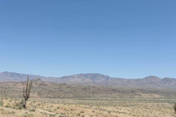
Beeline Bypass
Contains soft sand in the first half of the trail. Around the 1/3 point, the trail will get narrow. Larger vehicles will get pinstripes. The last 2/3s of the trail are narrow berms with scattered off-camber hills. The views are amazing. This area is recovering from wildfires, so the scenery is a mix...
Learn more about Beeline Bypass
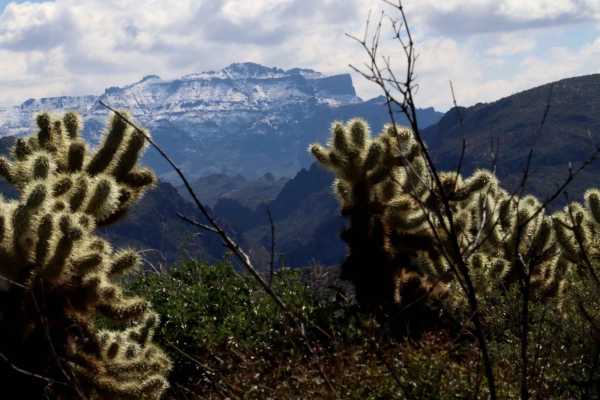
FDR 1804/1805
This is an alternative direct route from Rolls OHV parking area into the Rolls OHV area. Both 1804 and 1805 are two parts of the same track, which deadends into FDR 1863. This intersection is characterized by a fairly steep, loose, and off-camber ascent/descent. From the trailhead, users can expect ...
Learn more about FDR 1804/1805
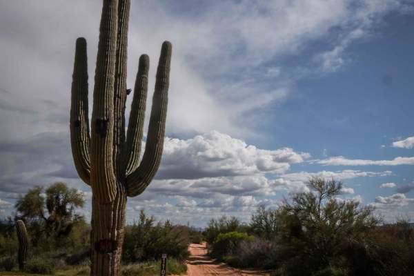
1109
1109 is a short and wide dirt Jeep road in a wide-open desert full of massive saguaro cacti. It has uneven ground, ruts, bumps, and rutted corners;it crosses sandy washes and goes past a massive saguaro with a trail sign next to it. It's very easy, with only a couple of spots with slight uphills. Th...
Learn more about 1109
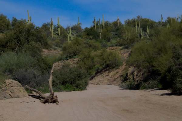
FDR 1863 South Loop
This route begins and ends off of FDR 13 looping South through a large chunk of the Rolls OHV area accommodating access to several other trails. Use this as a connector, or enjoy it as a stand-alone. It is primarily a sand-bottomed wash. Monitoring weather before arrival is recommended, as flash flo...
Learn more about FDR 1863 South Loop
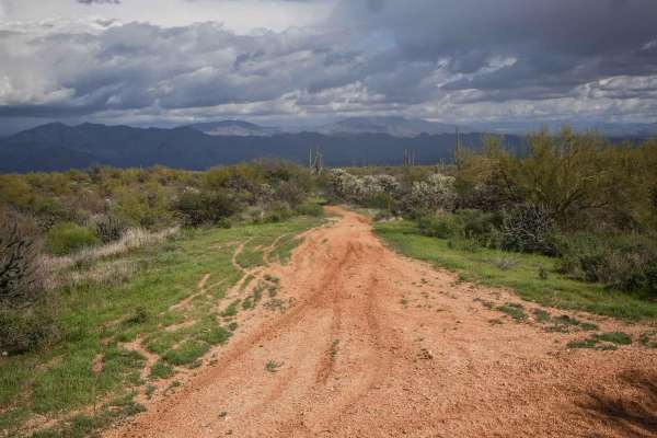
Camp Creek Access ATV Trail
This is a short ATV trail in the Tonto National Forest that accesses hundreds of miles of trails near Camp Creek, Arizona. Although accessible by ATV, it's more like a single track and is mostly ridden by dirt bikes because it's pretty narrow. It goes flat and straight through green desert terrain w...
Learn more about Camp Creek Access ATV Trail
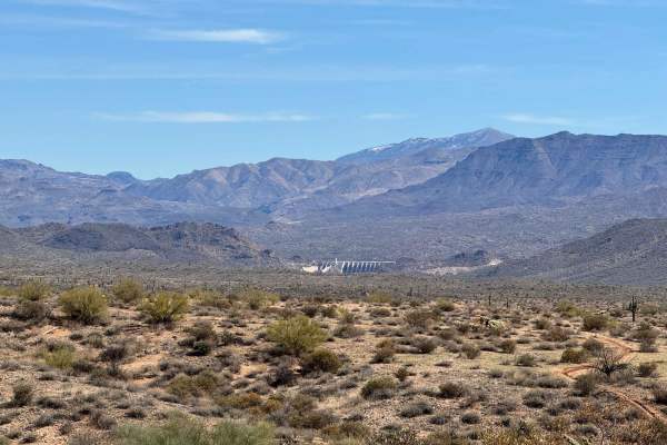
Trail 2117 - Tonto National Forest - Desert Vista OHV Area
This is a trail that takes you from the Needle Rock recreation area up along a beautiful ridge into the heart of the Desert Vista OHV area. This section is between Forest Road on the east, and Trail 2123 on the west. This is a trail that is used by the local Jeep Tour company to demonstrate the beau...
Learn more about Trail 2117 - Tonto National Forest - Desert Vista OHV Area
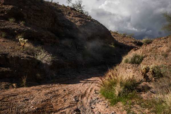
ATV Narrows
The Narrows is a short ATV trail through the Tonto National Forest near Camp Creek that is a unique little oasis in the desert. It goes through a canyon with tall dirt walls and embedded rock at the bottom of the canyon. It goes through some tight bushes and under a big palm tree that is really uniq...
Learn more about ATV Narrows
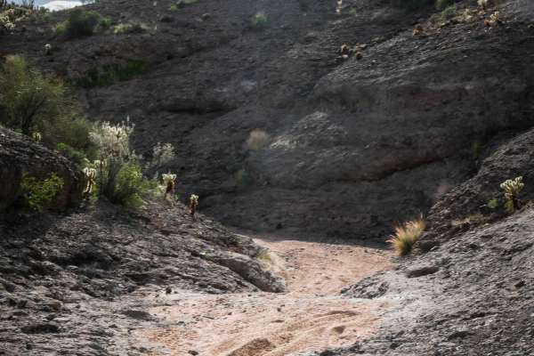
U2216
This is a 3.4-mile-long loop off of the powerline trail in the Tonto National Forest that is a mix of washes and fast dirt trail through the desert. It is mostly pretty easy except for one slightly harder climb out of the wash at the southern apex of the loop. You'll go up this climb if going clockw...
Learn more about U2216
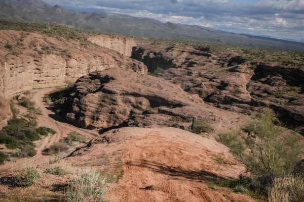
2123
2123 is a fun and scenic trail in the Tonto National Forest near Camp Creek, Arizona. It's a wide rim trail that runs east to west above a little canyon. This area is pretty popular for UTVs and dirt bikes. The trail is generally pretty easy and straight. It has lots of whoops, ruts, uneven ground, ...
Learn more about 2123
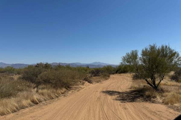
Entrance Trail to the Tonto National Forest Desert Vista OHV
This is the new entrance trail to the Tonto National Forest Desert Vista OHV Area as of October 2024. The entrance used to be farther north, but after the closure due to fires, the USFS built a new entrance trail to the system. This trail is difficult to find from the trail system, so look for the S...
Learn more about Entrance Trail to the Tonto National Forest Desert Vista OHV
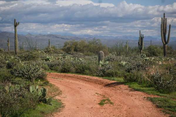
028
This is a short and easy Jeep trail in the Tonto National Forest near Camp Creek, Arizona. It's wide, hardpack dirt for most of it, with ruts running straight through the trail, and is mostly straight with some easy corners. The wide-open views here are pretty epic, with huge saguaros and mountains ...
Learn more about 028
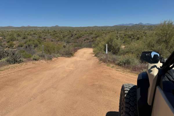
Tonto Trail 2123/2124 to Camp Creek Wash 413
This trail is the most direct way to get down to the Camp Creek Wash (Trail 413) from the 144th Street entrance to the Tonto National Forest trails system. This trail is a mixture of hard-pack dirt, deep sand, rocks, and a mixture of all the above. It is a narrow trail used by SxSs, but Jeeps could ...
Learn more about Tonto Trail 2123/2124 to Camp Creek Wash 413
ATV trails near Fountain Hills, Arizona
Explore ATV-friendly trails near you. These trails are accessible for vehicles up to 50 inches wide, perfect for ATVs and smaller off-road machines.
LU-MI Trail
Lowrange Uphill Mountainous Incline – This trail is short but leads to a great lookout point. Expect sharp turns and steep grades; 4LO is required on the uphill. Depending on your line choice, some rigs may need to lock a differential. A spotter would be very helpful on the final portion of this tra...
Learn more about LU-MI Trail
AR-LO Trail
AR-LO - "Advance Route - Low Obstacle". This route through the bulk of it would be widely considered a 3, but one obstacle puts this at a 4. Many ruts, dips, and bumps reach about 12 inches in height at the max. On this trail, at the 2-mile mark, there is a fun obstacle with a steep decline. With co...
Learn more about AR-LO Trail
160C - Eagle Viewpoint
Trail 160C is an out and back trail that heads due West from the intersection of 160B and 1089. This trail dead ends at a locked gate that is the habitat for Desert Nesting Bald Eagles and does not connect to the Verde River. This trail is mostly through an open desert setting with many loose baseba...
Learn more about 160C - Eagle Viewpoint
398 Powerline
398 is a longer powerline trail in the Tonto National Forest near Camp Creek, Arizona. It's a main route from the west entrance to this OHV area off of North 14th Street and runs east, accessing tons of 4x4 trails before ending at an overlook of the canyon that is Camp Creek. A lot of it is a wide a...
Learn more about 398 Powerline
UTV/side-by-side trails near Fountain Hills, Arizona
Find UTV and side-by-side trails near you. These trails accommodate vehicles up to 60 inches wide, ideal for UTVs, side-by-sides, and wider off-road rigs.
LU-MI Trail
Lowrange Uphill Mountainous Incline – This trail is short but leads to a great lookout point. Expect sharp turns and steep grades; 4LO is required on the uphill. Depending on your line choice, some rigs may need to lock a differential. A spotter would be very helpful on the final portion of this tra...
Learn more about LU-MI Trail
AR-LO Trail
AR-LO - "Advance Route - Low Obstacle". This route through the bulk of it would be widely considered a 3, but one obstacle puts this at a 4. Many ruts, dips, and bumps reach about 12 inches in height at the max. On this trail, at the 2-mile mark, there is a fun obstacle with a steep decline. With co...
Learn more about AR-LO Trail
160C - Eagle Viewpoint
Trail 160C is an out and back trail that heads due West from the intersection of 160B and 1089. This trail dead ends at a locked gate that is the habitat for Desert Nesting Bald Eagles and does not connect to the Verde River. This trail is mostly through an open desert setting with many loose baseba...
Learn more about 160C - Eagle Viewpoint
398 Powerline
398 is a longer powerline trail in the Tonto National Forest near Camp Creek, Arizona. It's a main route from the west entrance to this OHV area off of North 14th Street and runs east, accessing tons of 4x4 trails before ending at an overlook of the canyon that is Camp Creek. A lot of it is a wide a...
Learn more about 398 Powerline
The onX Offroad Difference
onX Offroad combines trail photos, descriptions, difficulty ratings, width restrictions, seasonality, and more in a user-friendly interface. Available on all devices, with offline access and full compatibility with CarPlay and Android Auto. Discover what you're missing today!
Open Trail Map