
Dirt Bike Trails
Near Evergreen, Montana
Explore All Dirt Bike Trails Near Evergreen, Montana
Dirt Bike Trails Near Evergreen, Montana
Discover the best dirt bike trails near you. Browse trail maps, check difficulty ratings, and find your next adventure — whether you're looking for a quick ride or an all-day expedition.
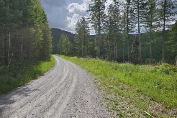
Patrick Creek to Emmons Creek
Easy, maintained scenic drive. The first few miles from Foys Canyon Road are residential. There are plenty of scenic pull-offs to enjoy, and the road provides access to the Foys-to-Blacktail hiking/biking trail. Emmons Creek intersects Truman Creek, minutes away from the Wild Bill OHV Trailhead. No ...
Learn more about Patrick Creek to Emmons Creek
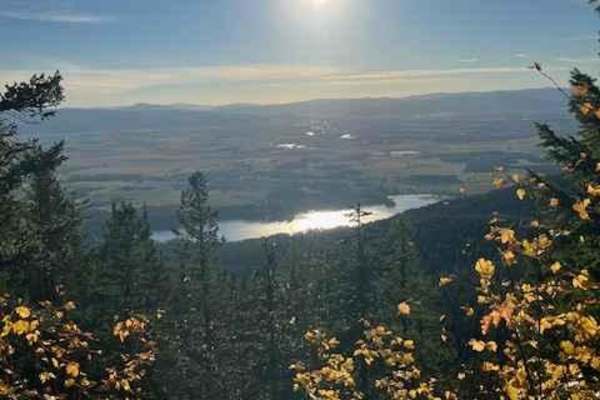
South Fork Hemler Creek
This trail is one of many access trails to Alpine #7. It starts off on an old road and is single-track all the way. When you get close to the top, you will ride in some rocky trail sections. You will enjoy views of the many lakes in the Flathead Valley area.
Learn more about South Fork Hemler Creek
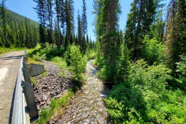
Red Meadow Creek
This is an amazing trail that begins at the north end of Whitefish Lake and meanders through Stillwater State Forest, Flathead National Forest, past Upper Whitefish Lake and up to Red Meadow Lake. The trail is very well maintained, and does have some steep and rocky sections, but overall, is easily ...
Learn more about Red Meadow Creek
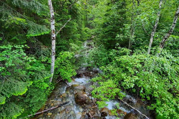
Trail Creek
This is fun, easy trail with great views of the Flathead Valley. The road is maintained and accessible during late spring, summer and fall. There are several trailheads for hiking, horseback riding, mountain biking and dirt bikes.
Learn more about Trail Creek
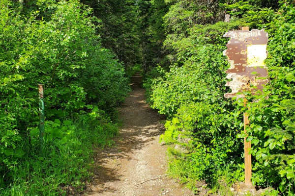
Peter's Ridge Road
This is a quick, scenic drive with several trailheads for hiking, horseback riding, mountain biking and dirt bikes. The road is well maintained with no real obstacles except potholes and shallow ruts. You'll find several primitive camping areas along the way, as well as a couple creek crossings via ...
Learn more about Peter's Ridge Road
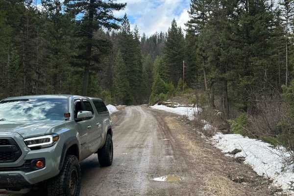
Starlite
This is a well-maintained dirt road. This trail starts out in a residential area and ends in the woods. It is a seasonal trail as there is a gate 3/4 of the way up the trail. The gate is closed during the winter. The trail is mostly flat with no obstacles. This trail is the main entrance into Lost T...
Learn more about Starlite
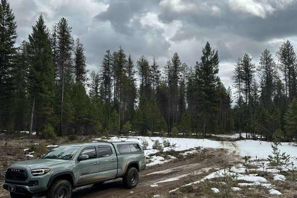
Lost Thin
This off-road trail is typically one lane in most spots. It is an easy trail with curves and small hills. There are a few dispersed campsites in the area. This trail is Open year-round. You can make a complete loop by going through Lost Thin B Trail. Large Rock Cliffs border the area. The trail is m...
Learn more about Lost Thin
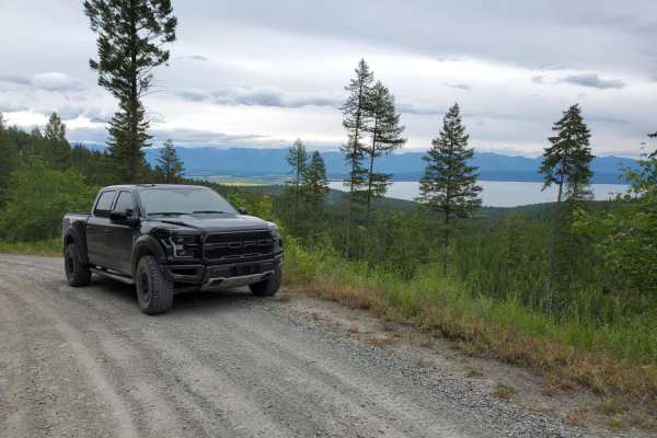
Cramer Creek to Patrick Creek
Cramer Creek to Patrick Creek is a scenic, beginner-friendly point-to-point route near Kalispell, Montana, perfect for any four-wheel-drive vehicle, SxS, or standard SUV looking for spectacular views of Flathead Lake and the valley. Spanning approximately 10 miles, this well-maintained unpaved road ...
Learn more about Cramer Creek to Patrick Creek
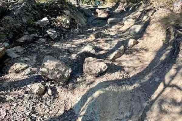
Columbia Mountain Loop
This trail is steep! The trail is rocky on one side of the mountain and a dirt single track on the other side of the mountain. It is also one of the trails used to access the Alpine #7 trail. On the west side of the mountain, the trail is wide and rocky with some larger root step-ups and lots of swi...
Learn more about Columbia Mountain Loop
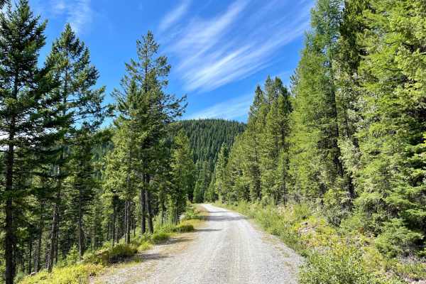
Truman Creek Road
This well-graded access route heads up into the hills and begins in the residential land below. The route is wide and bumpy, with washboard and loose gravel sections. The posted speed is 20 while in the residential area to decrease dust in the dry months. Please be respectful of the residents, to he...
Learn more about Truman Creek Road
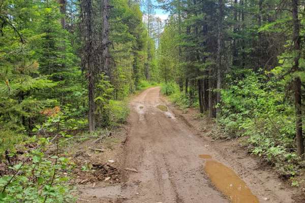
Wild Bill Creek/Firewood Trail to Truman Creek
This is a really fun loop with several access points to the Wild Bill OHV Recreation Trail. The main trailhead has a bathroom and a large parking area for trailers. Access to Mudhole Junction, Packrat Junction, Eagle Junction, Upper Dayton Creek and Truman Saddle are easily accessible with most 4WD ...
Learn more about Wild Bill Creek/Firewood Trail to Truman Creek
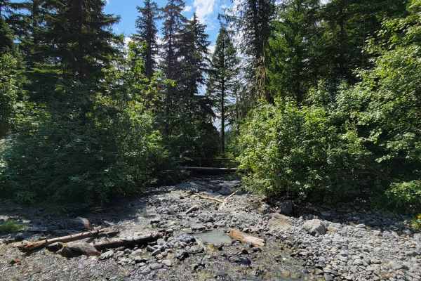
Strawberry Lake Trail
Strawberry Lake Trail is a scenic, moderately challenging climb in the Flathead National Forest that serves as the gateway for hikers and offroaders looking to access the Jewel Basin area. This 3.2-mile route winds up the mountain slopes, climbing approximately 800 feet from Foothill Road to the hik...
Learn more about Strawberry Lake Trail
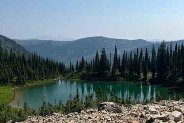
Alpine #7
This trail is packed full of views of alpine ridge tops and mountain peaks. You can make some really fun loops out of some of the access trails and the Alpine trail. The Alpine trail is not a difficult trail. There are a couple of spots that will challenge the novice rider. This trail has several ne...
Learn more about Alpine #7
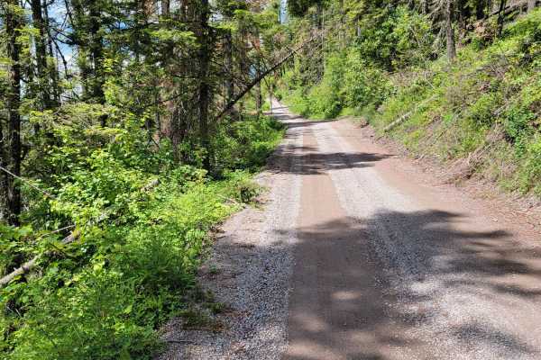
Jewel Basin Road
Fun, scenic trail that leads to epic hiking. Road is rough and narrow, but still passable with most 2wd cars. Expect potholes, washboard, and steep sections. You'll arrive at the Camp Misery trailhead about 30 mins after you start. There's a parking lot that's usually full, with a vault toilet and r...
Learn more about Jewel Basin Road
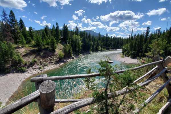
Hungry Horse Reservoir - West
This is a scenic drive down the west side of Hungry Horse Reservoir. There are plenty of developed and primitive camping spots, and lake access points everywhere. The road is maintained, and paved for the first 12 miles, but potholes are still abundant. Drive the distance, and you'll end up in Spott...
Learn more about Hungry Horse Reservoir - West
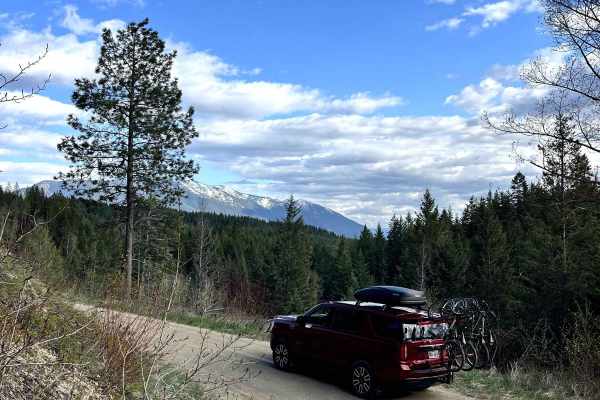
Cedar Ridge NF-1690
Cedar Ridge NF-1690 is an easy 4x4 trail located north of Columbia Falls, Montana, and is accessed directly from N Fork Road. The gravel surface is generally smooth, with a few potholes and occasional standing water. The route winds through forested terrain alongside a small creek and includes sever...
Learn more about Cedar Ridge NF-1690
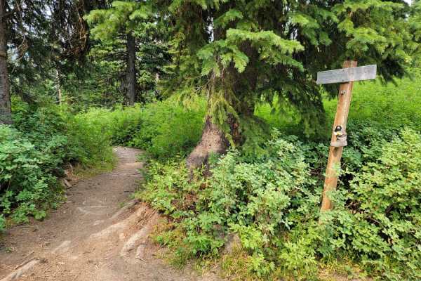
Aurora Basin Road
Fun trail with a great hike at the end to Doris Mountain. The trail is narrow, rocky, and slow going in some parts. 4x4 isn't necessary, but good tires are. Parking at the trailhead is limited, but there's a small meadow at the base of the trailhead with plenty of area to park.
Learn more about Aurora Basin Road
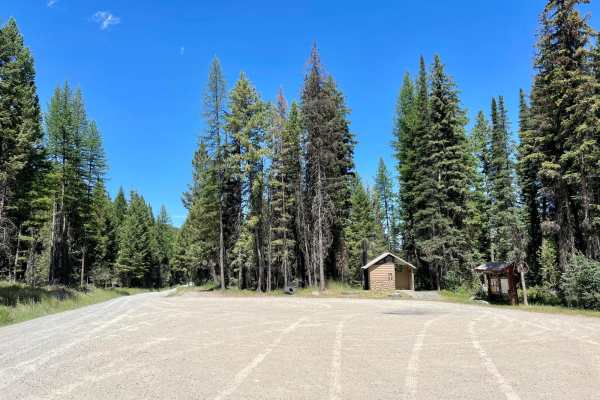
Wild Bill OHV Trailhead
This well-maintained wide route is a great access road to get to the main staging area for the Wild Bill OHV Trail network. The trail is decently graded, with only a few minor potholes and plenty of room to pass oncoming vehicles. The posted speed is 20 mph as it passes through residential land the ...
Learn more about Wild Bill OHV Trailhead
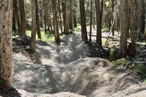
Wild Bill The Coffin and the Playground
This is the most popular section of the Wild Bill OHV trail network, with some of the most famous crawls of the state. The easternmost challenge heading out from the playground is "Rock Obstacle. It's labeled on the map at 4 feet but has less challenging severity to either side. There's an easy bypa...
Learn more about Wild Bill The Coffin and the Playground
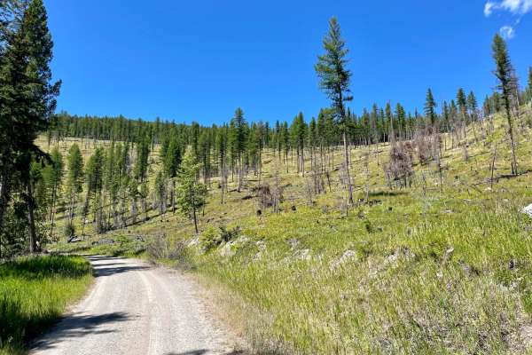
Wild Bill Saddle
This nice out-and-back trail heads from the main Wild Bill OHV staging area and pit toilets up the hill to the Wild Bill Saddle. Sections of the forest through here are dense, while others are partially cleared. The cleared areas make for really nice expansive views as you climb to the saddle. The t...
Learn more about Wild Bill Saddle
ATV trails near Evergreen, Montana
Explore ATV-friendly trails near you. These trails are accessible for vehicles up to 50 inches wide, perfect for ATVs and smaller off-road machines.
Patrick Creek to Emmons Creek
Easy, maintained scenic drive. The first few miles from Foys Canyon Road are residential. There are plenty of scenic pull-offs to enjoy, and the road provides access to the Foys-to-Blacktail hiking/biking trail. Emmons Creek intersects Truman Creek, minutes away from the Wild Bill OHV Trailhead. No ...
Learn more about Patrick Creek to Emmons Creek
Red Meadow Creek
This is an amazing trail that begins at the north end of Whitefish Lake and meanders through Stillwater State Forest, Flathead National Forest, past Upper Whitefish Lake and up to Red Meadow Lake. The trail is very well maintained, and does have some steep and rocky sections, but overall, is easily ...
Learn more about Red Meadow Creek
Trail Creek
This is fun, easy trail with great views of the Flathead Valley. The road is maintained and accessible during late spring, summer and fall. There are several trailheads for hiking, horseback riding, mountain biking and dirt bikes.
Learn more about Trail Creek
Peter's Ridge Road
This is a quick, scenic drive with several trailheads for hiking, horseback riding, mountain biking and dirt bikes. The road is well maintained with no real obstacles except potholes and shallow ruts. You'll find several primitive camping areas along the way, as well as a couple creek crossings via ...
Learn more about Peter's Ridge Road
UTV/side-by-side trails near Evergreen, Montana
Find UTV and side-by-side trails near you. These trails accommodate vehicles up to 60 inches wide, ideal for UTVs, side-by-sides, and wider off-road rigs.
Patrick Creek to Emmons Creek
Easy, maintained scenic drive. The first few miles from Foys Canyon Road are residential. There are plenty of scenic pull-offs to enjoy, and the road provides access to the Foys-to-Blacktail hiking/biking trail. Emmons Creek intersects Truman Creek, minutes away from the Wild Bill OHV Trailhead. No ...
Learn more about Patrick Creek to Emmons Creek
Red Meadow Creek
This is an amazing trail that begins at the north end of Whitefish Lake and meanders through Stillwater State Forest, Flathead National Forest, past Upper Whitefish Lake and up to Red Meadow Lake. The trail is very well maintained, and does have some steep and rocky sections, but overall, is easily ...
Learn more about Red Meadow Creek
Trail Creek
This is fun, easy trail with great views of the Flathead Valley. The road is maintained and accessible during late spring, summer and fall. There are several trailheads for hiking, horseback riding, mountain biking and dirt bikes.
Learn more about Trail Creek
Peter's Ridge Road
This is a quick, scenic drive with several trailheads for hiking, horseback riding, mountain biking and dirt bikes. The road is well maintained with no real obstacles except potholes and shallow ruts. You'll find several primitive camping areas along the way, as well as a couple creek crossings via ...
Learn more about Peter's Ridge Road
The onX Offroad Difference
onX Offroad combines trail photos, descriptions, difficulty ratings, width restrictions, seasonality, and more in a user-friendly interface. Available on all devices, with offline access and full compatibility with CarPlay and Android Auto. Discover what you're missing today!
Open Trail Map