Cramer Creek to Patrick Creek

Total Miles9.9
Technical Rating
1Easy
Best TimeSpring, Summer, Fall
Trail TypeFull-Width Road
Accessible By
Open Trail Map

Trail Overview

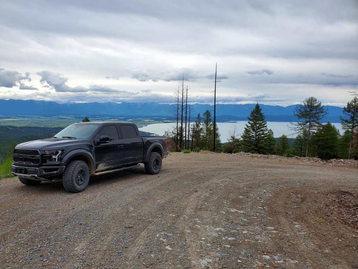
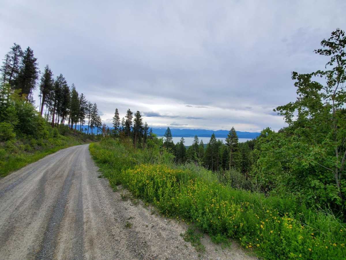
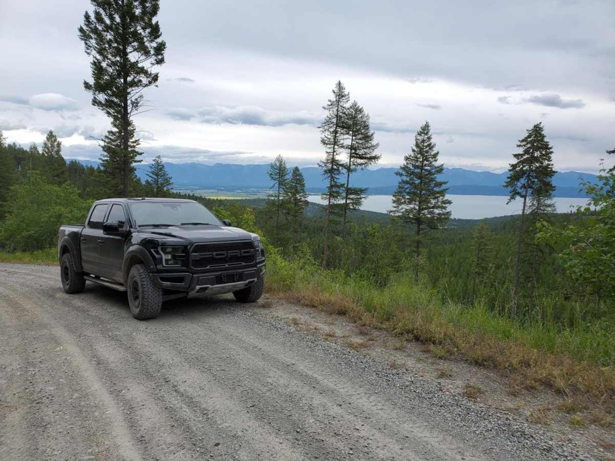
Cramer Creek to Patrick Creek is a scenic, beginner-friendly point-to-point route near Kalispell, Montana, perfect for any four-wheel-drive vehicle, SxS, or standard SUV looking for spectacular views of Flathead Lake and the valley. Spanning approximately 10 miles, this well-maintained unpaved road climbs through dense forests to a peak elevation of 5,342 feet, providing panoramic lookouts without requiring technical driving skills. The trail begins with a two-mile section winding through a residential area before transitioning into active timber lands where logging operations may be encountered depending on the time of day. With a technical rating of 1, the route features a smooth dirt and gravel surface free of obstacles, making it accessible to drivers of all experience levels. Along the drive, travelers experience an elevation range from 3,234 feet to 5,342 feet, with a gentle gradient and a steady descent toward Patrick Creek. At the end of the route, turning right leads back to Kalispell, while a left turn guides travelers toward Kila via Emmons Creek. Cell service is spotty throughout this corridor, and winter conditions can limit travel, making late spring through fall the best time to visit.

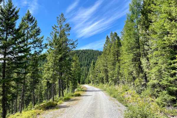
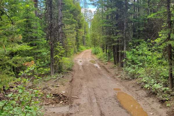
Photos of Cramer Creek to Patrick Creek

Difficulty

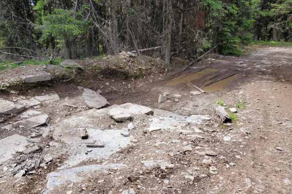
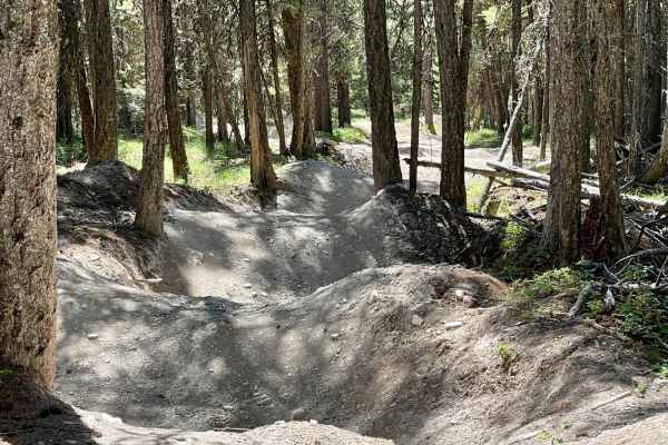
No obstacles and well-maintained road.

Technical Rating

1

Status Reports

Add Status Report
Sean
Dec 22, 2025
Open
Washboard
Very easy. Pretty washboard at the beginning of the trail. Definitely some ice underneath the half inch of snow. Several trees down across the road that have been cleared enough room to get a full size 4x4 through. It's pretty much just a dirt road up the mountain. We started at Patrick Creek road.

Cramer Creek to Patrick Creek Trail can be accessed by the following ride types:

  • Single Track
  • 50 Inch
  • 60 Inch
  • High Clearance
  • Full Width

Access Description

The first two miles of the trail pass through a residential zone where drivers should use caution. Logging operations may be active in the area depending on the time of day. Cell coverage is spotty, and winter weather can limit road access.

Cramer Creek to Patrick Creek Map

The onX Offroad Difference

onX Offroad combines trail photos, descriptions, difficulty ratings, width restrictions, seasonality, and more in a user-friendly interface. Available on all devices, with offline access and full compatibility with CarPlay and Android Auto. Discover what you're missing today!

Open Trail Map