Trail Overview
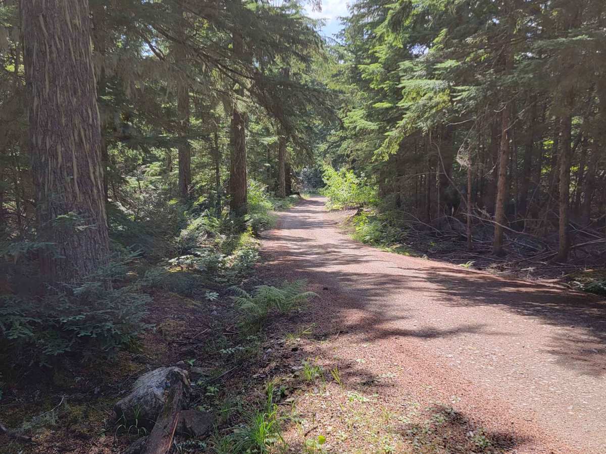
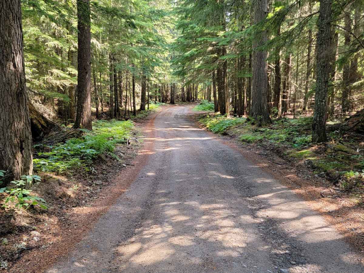
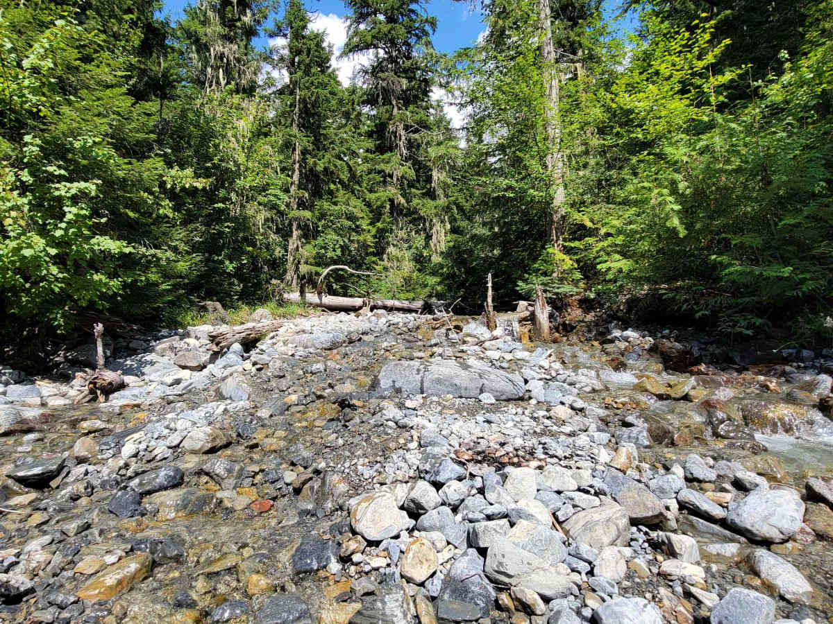
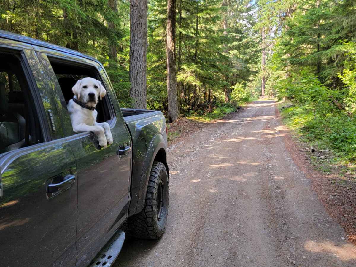
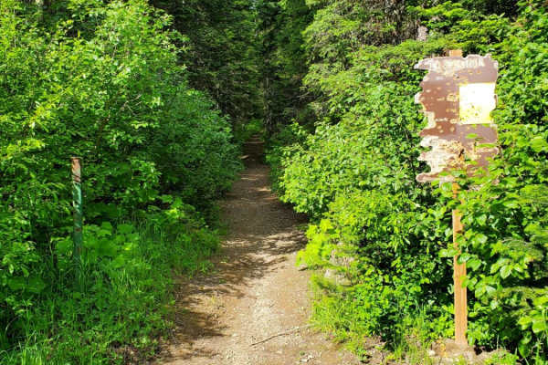
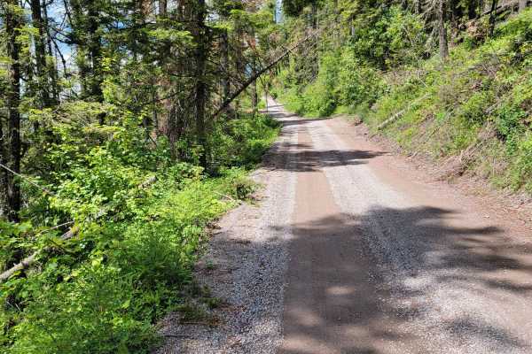
Strawberry Lake Trail is a scenic, moderately challenging climb in the Flathead National Forest that serves as the gateway for hikers and offroaders looking to access the Jewel Basin area. This 3.2-mile route winds up the mountain slopes, climbing approximately 800 feet from Foothill Road to the hiking trailhead. The trail features a narrow, unpaved surface with sections that are rocky, steep, and prone to large water puddles. While it is accessible to a variety of high-clearance four-wheel-drive vehicles, SUVs, and SxSs, drivers should expect a bumpy ride with some tight spots.
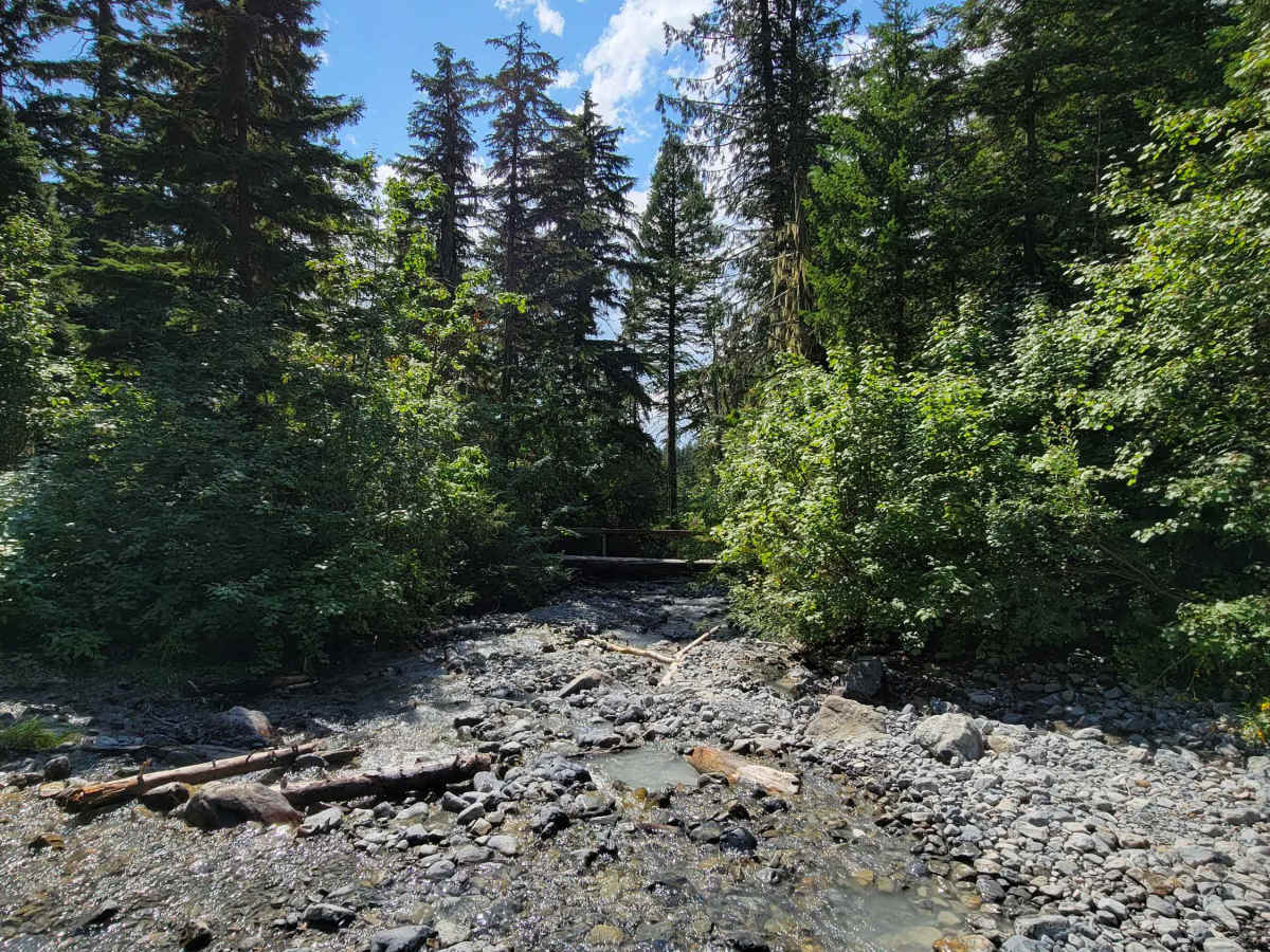
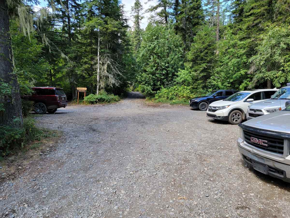
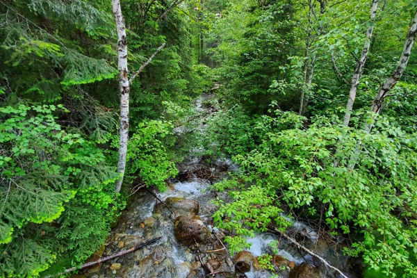
As the route ascends from about 3,250 feet to over 4,050 feet, it offers sweeping views of the Flathead Valley through the pine trees. Upon reaching the end of the motorized trail, visitors will find a parking area next to Noisy Creek, where the non-motorized hiking trail begins its climb to Strawberry Lake. This route is typically best visited from late spring through fall, as heavy snow can block the upper sections well into the summer months. Parking at the trailhead can become crowded during peak hiking season, especially on weekends.
Access Description
No fees or permits are required to drive Forest Service Road 5390 or park at the Strawberry Lake trailhead. The road is managed by the U.S. Forest Service and is subject to seasonal winter closures due to snow, typically clearing by late spring or early summer.

 Offroad