
Dirt Bike Trails
Near Ensenada, New Mexico
Explore All Dirt Bike Trails Near Ensenada, New Mexico
Dirt Bike Trails Near Ensenada, New Mexico
Discover the best dirt bike trails near you. Browse trail maps, check difficulty ratings, and find your next adventure — whether you're looking for a quick ride or an all-day expedition.
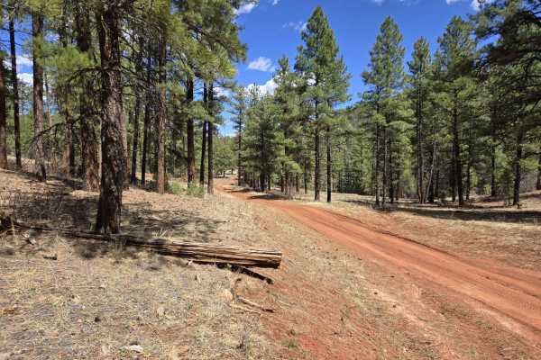
Hogback Trail
Awesome trail that can be run in either direction, with plenty of beautiful views. The trail features numerous washes, medium-sized rocks, a 3-foot ledge, and lots of opportunities to flex out your suspension. It may be impassable in wet conditions due to wash crossings. The trail can also become of...
Learn more about Hogback Trail

Navajo Peak Road - FS 731
Typical forest road for this area. Nice, easy gravel road that travels up through oak, pine, and aspen forest. Nice views of Navajo Peak and the surrounding area throughout the drive, with a lot of dispersed camping along the way. At the end of the road is the trailhead for Navajo Peak. Seasonal clo...
Learn more about Navajo Peak Road - FS 731
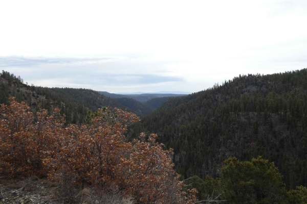
Vallecitos Pass
Vallecitos Pass is a dispersed camper's dream, even if you only have a high clearance 2WD. This easy-to-traverse trail has no major obstacles, only showing signs of minor ruts and small grades with loose rocks. Dispersed camping is permitted from .02 miles from the south entrance coming off of CR-44...
Learn more about Vallecitos Pass
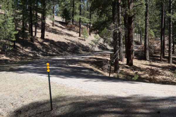
Jacques Canyon FSR-719
Jacques Canyon is an exceptionally well-maintained and easily passable trail for most vehicles, including some high-clearance passenger cars. While dispersed camping is not permitted along this particular trail, the thick trees that line the route make it a nice day trip with multiple other trails t...
Learn more about Jacques Canyon FSR-719

Brazos Ridge HP
The Brazos Ridge HP skirts the southern half of the 19,000-acre Cruces Basin Wilderness in northern New Mexico. The elevation averages 10,000 feet, with a low point of 8,250 feet and peaking at 10,947 feet. Aspen and juniper chase each other through the altitude changes. Large ponderosa pines and bi...
Learn more about Brazos Ridge HP
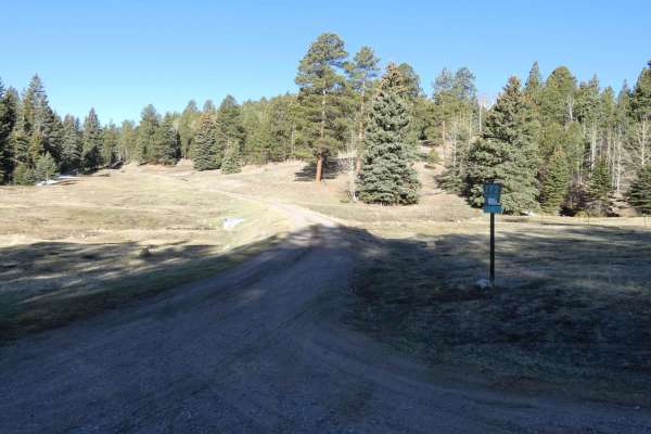
Canada del Potrero
Canada del Potrero is an out-and-back trail that is well-maintained overall and suitable for most vehicles. Dispersed camping is permitted along the entire length of the trail and offers several locations with diverse settings and views. While the trail is maintained well, downed trees are significa...
Learn more about Canada del Potrero
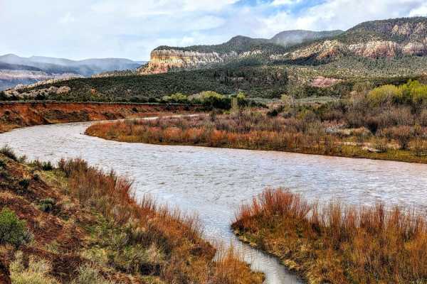
Chama Canyon
Chama Canyon is an incredibly scenic trail that skirts the Chama River while being nestled amongst colorful cliffs. The entire area has several points of interest, including Abiquiu Reservoir, Ghost Ranch, and Echo Amphitheater, to name a few. Echo Amphitheater is right near the trailhead and is alw...
Learn more about Chama Canyon
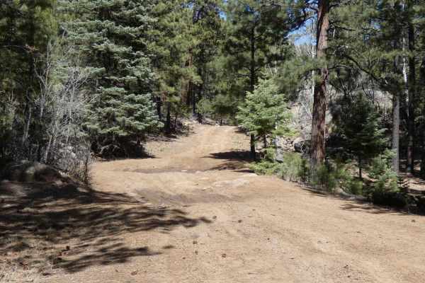
Big Rock
Lined with thick trees and large rock formations within the tree lines, the Big Rock trail loops the mountain's base with a good diversity of terrain. The trail is primarily dirt that can be extremely muddy after rain or snow melt and can have areas of standing water and mud holes. Scattered through...
Learn more about Big Rock
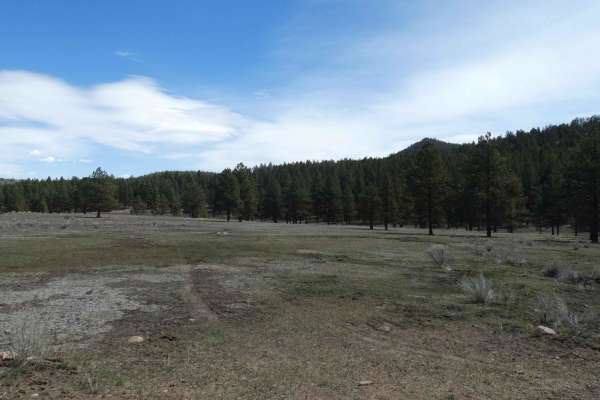
Kiowa Mountain
The Kiowa Mountain trail does a partial loop around the base of Kiowa Mountain, providing a hiking opportunity to make it to the Kiowa Lookout at the summit. The terrain worsens from the trail entrance approximately 3.5 miles off of FSR-45. The trail begins on a decently maintained dirt and gravel s...
Learn more about Kiowa Mountain
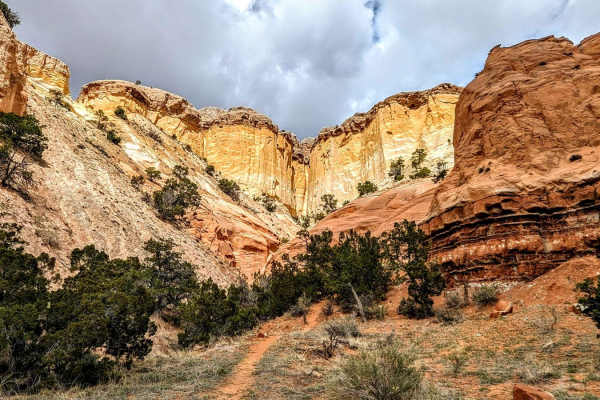
Chama Canyon Cliffside Loop
The Chama Canyon Cliffside Loop is an optional scenic trail that diverges from Chama Canyon and follows the base of colorfully layered cliffs. Though short in length, the trail offers some amazing views. This trail offers a handful of interesting dispersed camping sites along with areas to explore b...
Learn more about Chama Canyon Cliffside Loop
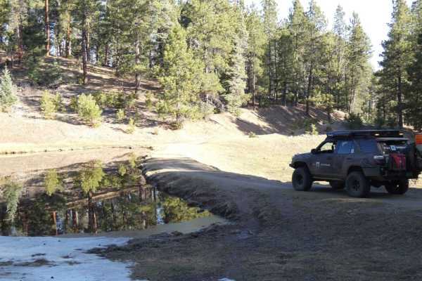
Truck Trl FSR-123
Truck Trl FSR-123 is a point-to-point trail connecting from the south at FSR-44 to the north at FSR-106 and is primarily softer dirt prone to rutting and mud after rain or snow melt. Rutting averages around 12 inches in depth, with the occasional loose rocks up to 10 inches in size. The trail will b...
Learn more about Truck Trl FSR-123
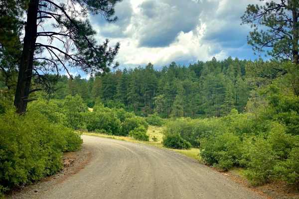
Buckles Lake Road - FS 663
Well-maintained gravel forest road that travels up through Oak, Pine, and Aspen areas, with lots of scenic views of the surrounding area and lots of dispersed camping spots. At the end of the road is a parking area for the trailheads for the Navajo and Buckles Lake trails, along with a restroom.
Learn more about Buckles Lake Road - FS 663
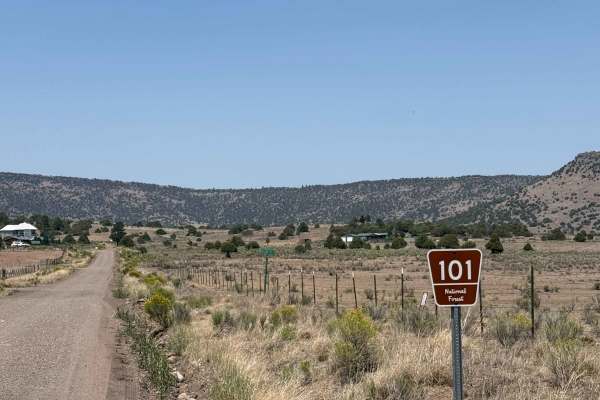
FS 101
FR 101 is approximately 17 miles long from its start at the intersection of SH 17 to where it dead-ends at the border between the La Jara State Trust Land and the Rio Grande National Forest. It begins as a well-maintained two-lane dirt road with some washboarding. At approximately 9.3 miles in, the ...
Learn more about FS 101
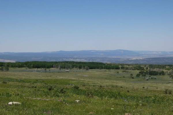
Green Camp Canyon
Green Camp Canyon is an overlander and camper's paradise. The well-maintained service trail is surrounded by thick trees and lush green foliage, with no obstacles over 10 inches in size that are only found at the north end of the trail at a small rocky section. Several spots on both sides of the tra...
Learn more about Green Camp Canyon
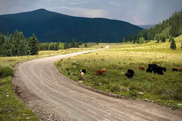
Alamosa Conjeos-Fr Rd 250
This section of Alamosa Conjeos road goes to Platoro, Colorado along the Conjeos River and to the Platoro Reservoir. It starts 28 miles north of Chama and 22 miles south of Alamosa off of Hwy 17. Turning off the road there is a large enough area to air down if inclined due to roughness from the gra...
Learn more about Alamosa Conjeos-Fr Rd 250
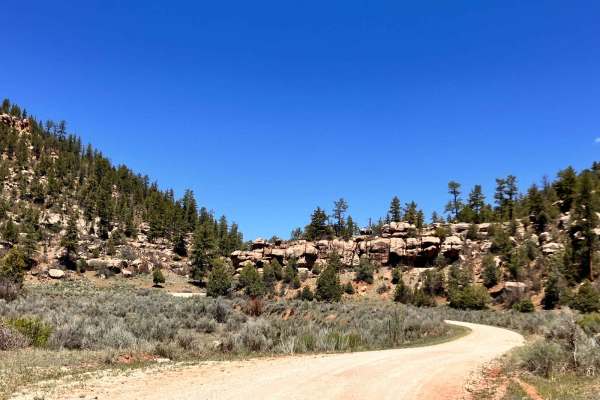
Wolf Draw Trail
This trail offers a straightforward out-and-back journey through a stunning canyon, tracing Forest Road 313 for about a quarter of its length. As you embark on the trail, you'll encounter a picturesque water hole (one of many) nestled in the landscape before the path winds into the depths of the can...
Learn more about Wolf Draw Trail
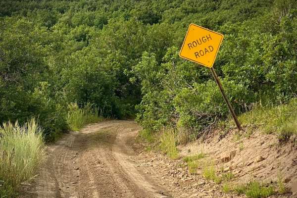
Fr Road 664
Big Branch road runs from Buckles Lake road (#663) to the Blue Creek road (#612). Right as you start the trail it warns of a rough road, following are several spots with large dips from the beginning, after that it becomes rut roads with a few rocks and possible mud holes. The trail crosses several ...
Learn more about Fr Road 664
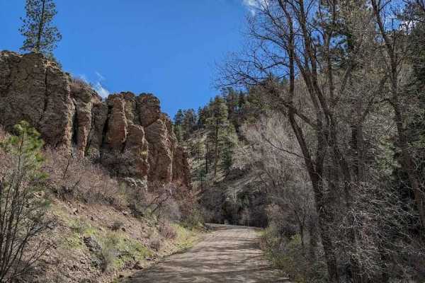
FS 222 Las Tablas to Tres Piedras
This is a short, straightforward trail in Carson National Forest that is well maintained, allowing any stock SUV to get from beginning to end with little stress. There are beautiful views, stands of cottonwoods amongst the pines, and unique rock formations along FS 222. Enjoy lunch by a pond in the ...
Learn more about FS 222 Las Tablas to Tres Piedras
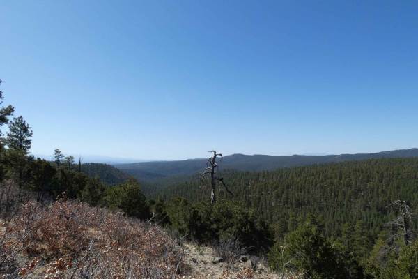
Tusas Ridge
Tusas Ridge runs north from FSR-222 and dead-ends shy 10 miles to the west after a few substantial elevation changes. The primarily dirt two-track trail can be extremely muddy after wet weather, with smaller loose rocks up to 10 inches in size being the only other obstacle. Some minor rutting and mi...
Learn more about Tusas Ridge
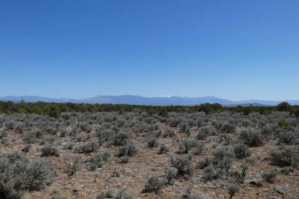
Red Mesa FSR-578
Red Mesa FSR-578 is a point-to-point trail that connects from FS-222/CR-263 at its north entrance and leads back to SH-285 at its south entrance. This trail can be traversed from either end and is suitable for most high-clearance 2WD vehicles during dry weather. The surface is a decently balanced co...
Learn more about Red Mesa FSR-578
ATV trails near Ensenada, New Mexico
Explore ATV-friendly trails near you. These trails are accessible for vehicles up to 50 inches wide, perfect for ATVs and smaller off-road machines.
Hogback Trail
Awesome trail that can be run in either direction, with plenty of beautiful views. The trail features numerous washes, medium-sized rocks, a 3-foot ledge, and lots of opportunities to flex out your suspension. It may be impassable in wet conditions due to wash crossings. The trail can also become of...
Learn more about Hogback Trail
Navajo Peak Road - FS 731
Typical forest road for this area. Nice, easy gravel road that travels up through oak, pine, and aspen forest. Nice views of Navajo Peak and the surrounding area throughout the drive, with a lot of dispersed camping along the way. At the end of the road is the trailhead for Navajo Peak. Seasonal clo...
Learn more about Navajo Peak Road - FS 731
Vallecitos Pass
Vallecitos Pass is a dispersed camper's dream, even if you only have a high clearance 2WD. This easy-to-traverse trail has no major obstacles, only showing signs of minor ruts and small grades with loose rocks. Dispersed camping is permitted from .02 miles from the south entrance coming off of CR-44...
Learn more about Vallecitos Pass
Jacques Canyon FSR-719
Jacques Canyon is an exceptionally well-maintained and easily passable trail for most vehicles, including some high-clearance passenger cars. While dispersed camping is not permitted along this particular trail, the thick trees that line the route make it a nice day trip with multiple other trails t...
Learn more about Jacques Canyon FSR-719
UTV/side-by-side trails near Ensenada, New Mexico
Find UTV and side-by-side trails near you. These trails accommodate vehicles up to 60 inches wide, ideal for UTVs, side-by-sides, and wider off-road rigs.
Hogback Trail
Awesome trail that can be run in either direction, with plenty of beautiful views. The trail features numerous washes, medium-sized rocks, a 3-foot ledge, and lots of opportunities to flex out your suspension. It may be impassable in wet conditions due to wash crossings. The trail can also become of...
Learn more about Hogback Trail
Navajo Peak Road - FS 731
Typical forest road for this area. Nice, easy gravel road that travels up through oak, pine, and aspen forest. Nice views of Navajo Peak and the surrounding area throughout the drive, with a lot of dispersed camping along the way. At the end of the road is the trailhead for Navajo Peak. Seasonal clo...
Learn more about Navajo Peak Road - FS 731
Vallecitos Pass
Vallecitos Pass is a dispersed camper's dream, even if you only have a high clearance 2WD. This easy-to-traverse trail has no major obstacles, only showing signs of minor ruts and small grades with loose rocks. Dispersed camping is permitted from .02 miles from the south entrance coming off of CR-44...
Learn more about Vallecitos Pass
Jacques Canyon FSR-719
Jacques Canyon is an exceptionally well-maintained and easily passable trail for most vehicles, including some high-clearance passenger cars. While dispersed camping is not permitted along this particular trail, the thick trees that line the route make it a nice day trip with multiple other trails t...
Learn more about Jacques Canyon FSR-719
The onX Offroad Difference
onX Offroad combines trail photos, descriptions, difficulty ratings, width restrictions, seasonality, and more in a user-friendly interface. Available on all devices, with offline access and full compatibility with CarPlay and Android Auto. Discover what you're missing today!
Open Trail Map