Alamosa Conjeos-Fr Rd 250

Total Miles28.8
Technical Rating
2Easy
Best TimeSpring, Summer, Fall, Winter
Trail TypeFull-Width Road
Accessible By
Open Trail Map

Trail Overview

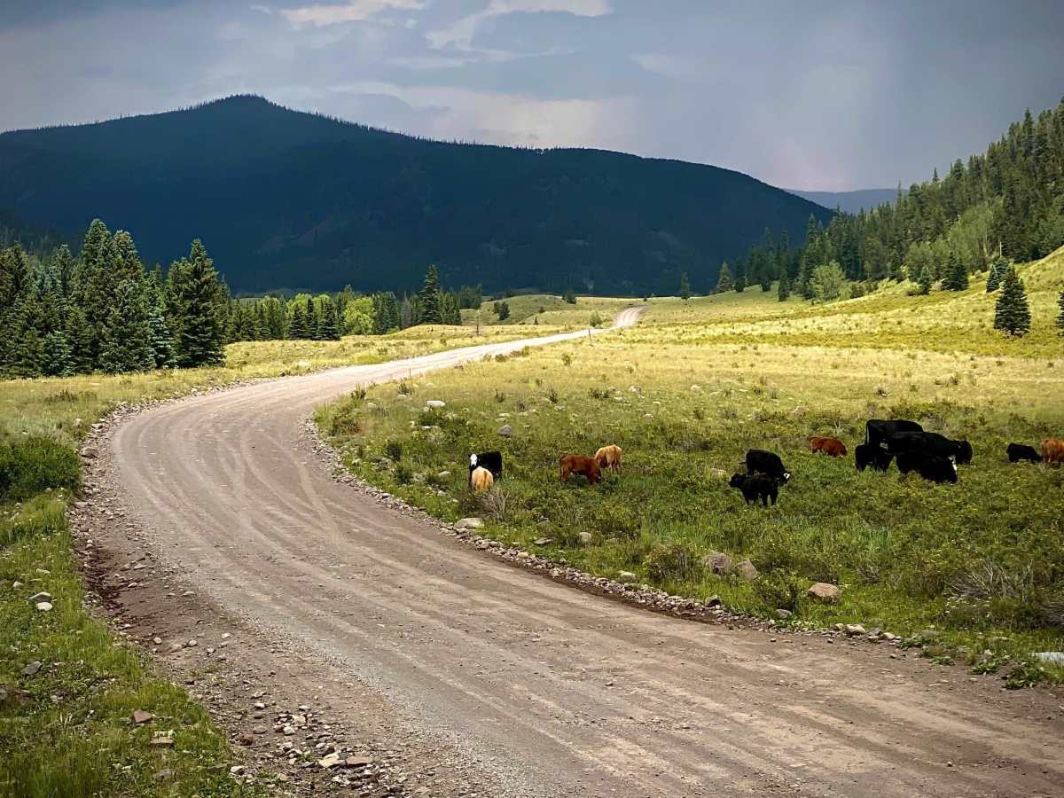
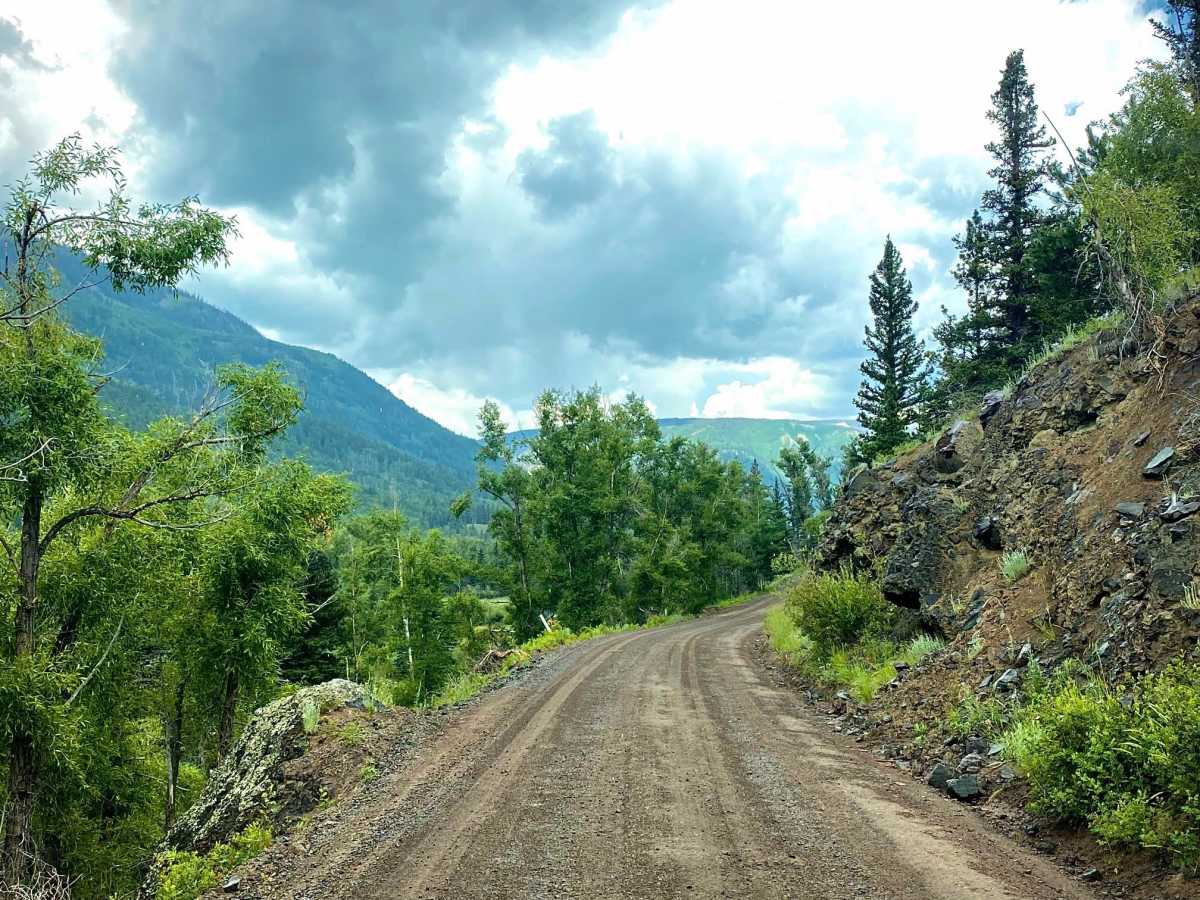
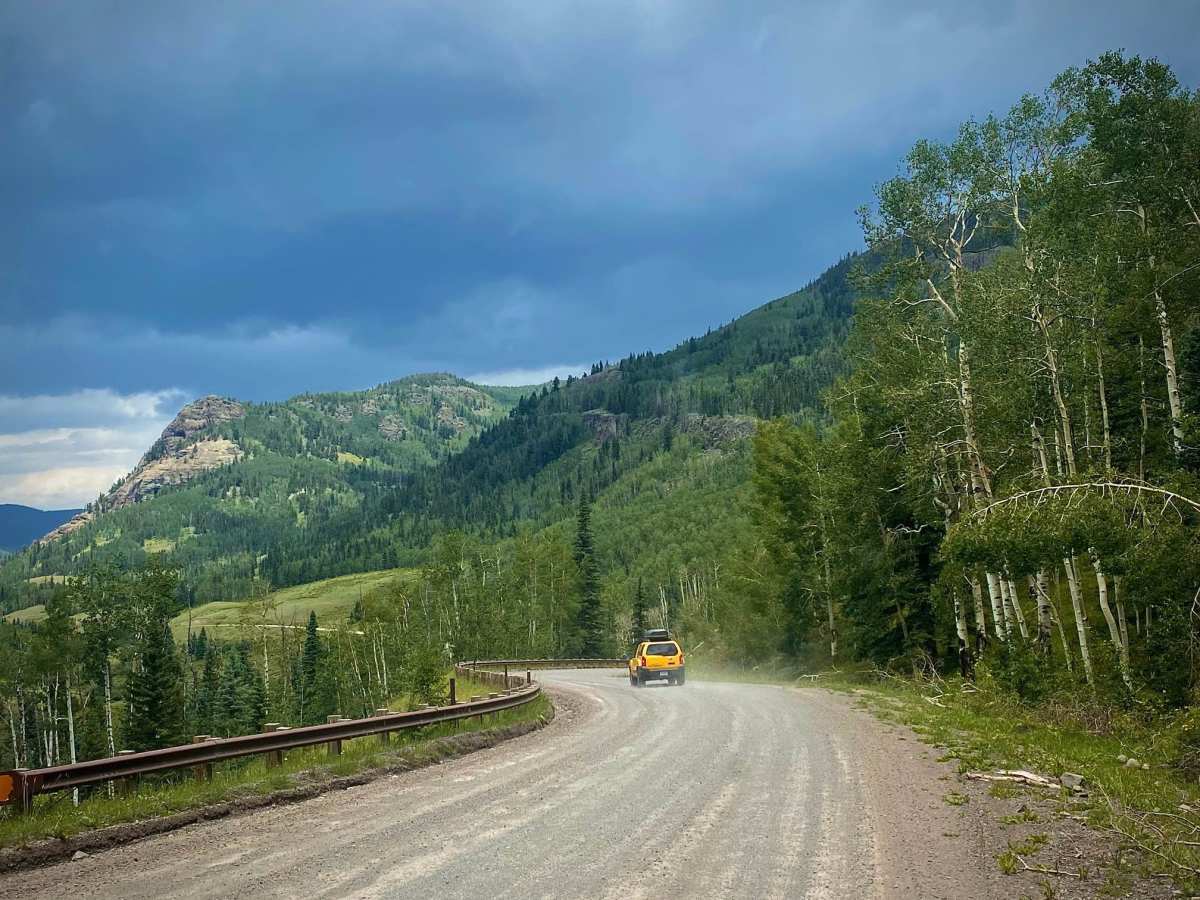
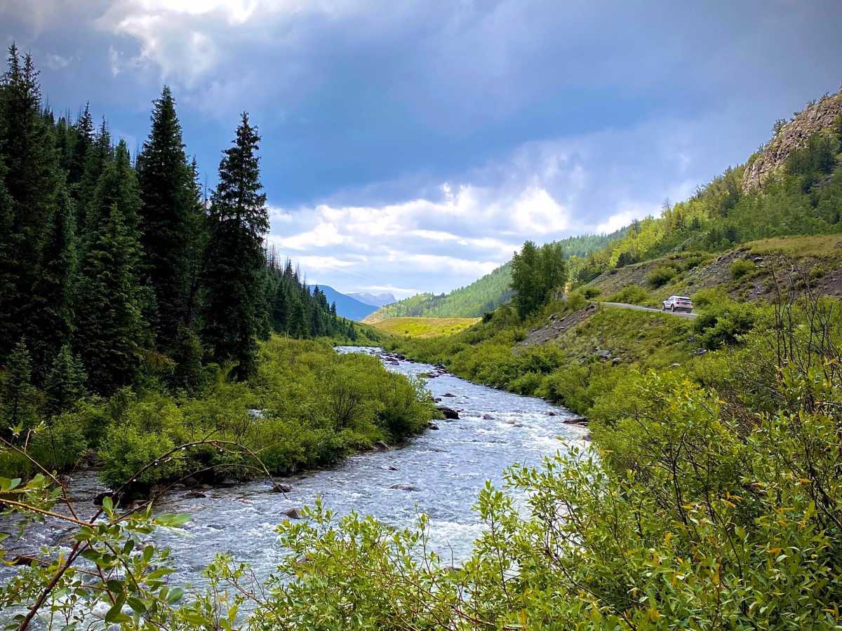
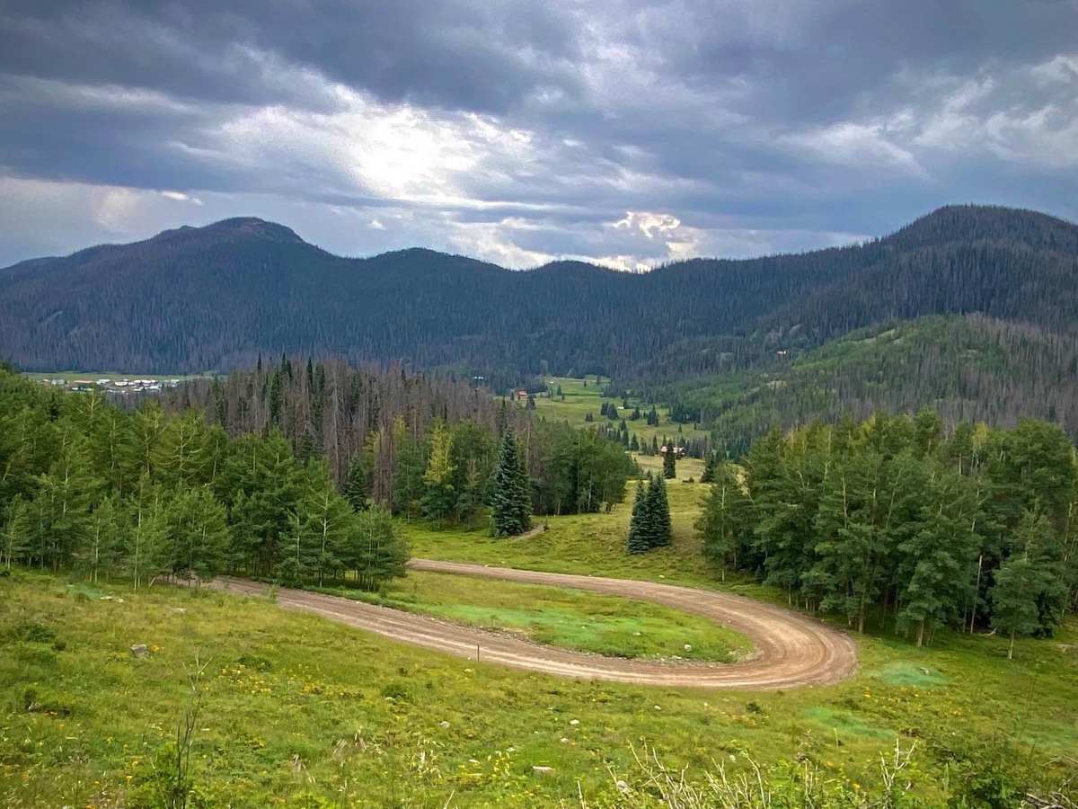
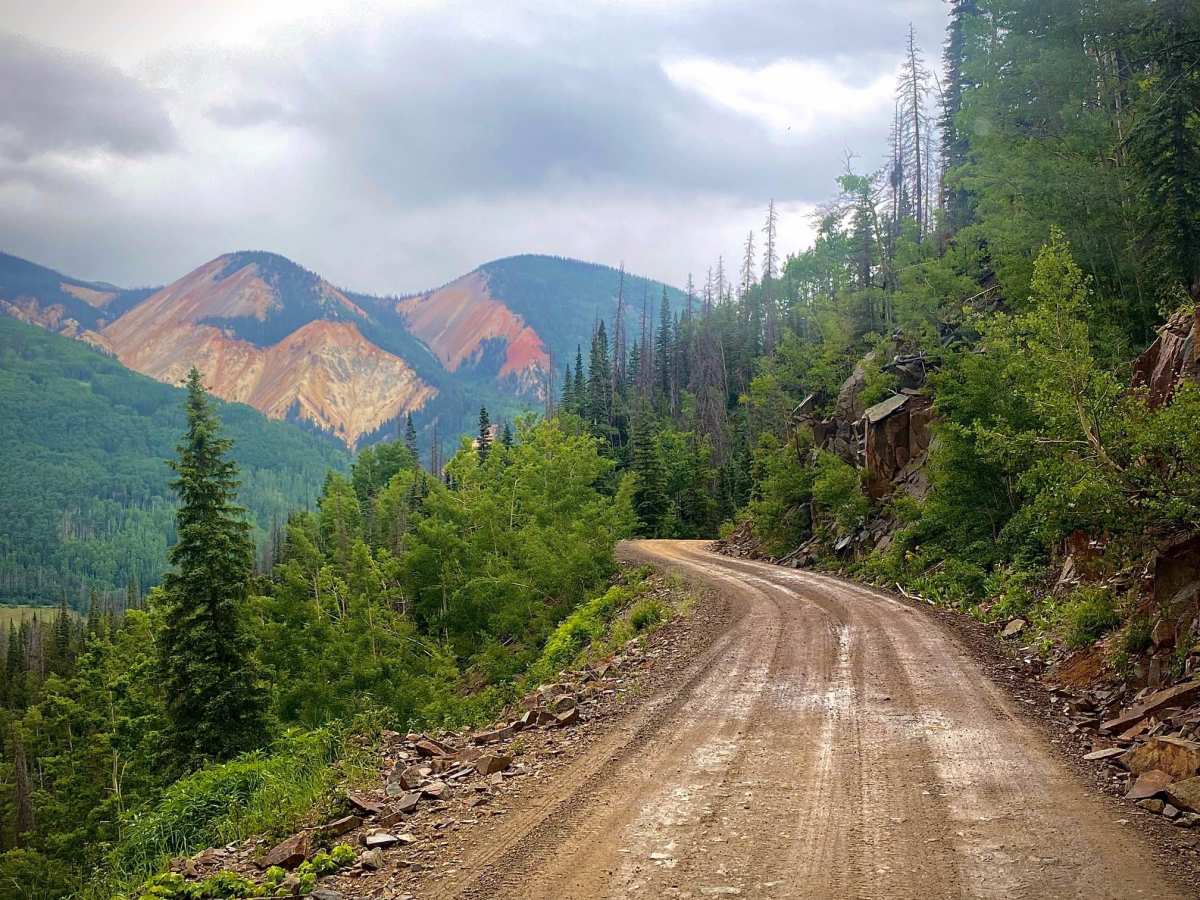
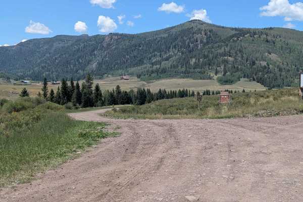
Alamosa Conejos Forest Road 250 is a scenic 29-mile overland route following the Conejos River in the Rio Grande National Forest. Beginning off Highway 17, the road heads north along the river, providing access to developed campgrounds and popular trout fishing spots. The first section to the historic mountain community of Platoro is a well-maintained gravel road suitable for most high-clearance vehicles. Beyond Platoro, the road narrows and climbs steeply to 10,542 feet near Platoro Reservoir, featuring tight switchbacks and sharp drop-offs. This upper segment can become very slick when wet and is impassable during winter due to heavy snow.

Photos of Alamosa Conjeos-Fr Rd 250

Difficulty

Alamosa Conejos road is an easy maintained gravel road all the way to Platoro and the reservoir, after that is becomes more narrow with steeper climbs and some switchbacks with guard rails protecting you from the drop below. When rainy this section in particular can become slippery and dangerous if driving too fast. Winter snows will also make the road more difficult.

History

Platoro derived its name from the Spanish words for silver (*plata*) and gold (*oro*). Established during the mining boom of the late 1800s and early 1900s, the settlement quickly dwindled into a ghost town once the ore was depleted. Today, it operates as a remote, high-altitude resort community serving outdoor recreationists.

Technical Rating

2

Status Reports

Add Status Report
Randy S
Jun 04, 2026
2016 BMW 1200 GS
Open
NormalWashboard
A bit washboard but all and all in good shape. Any vehicle could make it through to Platoro from the south side.
Hunter Dillender
Oct 14, 2025
Open
NormalDustyWashboard
Amazing views.
Trent Tankersley
Jul 28, 2025
2016 Ford F-Series Super Duty
Open
DustyRough/DeterioratedWashboard
The road hasn’t seen much maintenance in a while, I don’t think. I did see the equipment moving around Platoro, but they hadn’t done anything with the road. It’s a rough drive the first 5-6 miles from the Highway heading into Platoro. Washboarded and huge potholes made pulling my SxS trailer tough. We took a ride on the SxS and not bad at all. The last 16-17 miles get better, but there are still areas of pretty rough surface. Just make sure everything in your trailer is secured and take it easy, you’ll do fine.
Bill Craig
Aug 05, 2024
2014 Jeep Wrangler
Open
NormalDustyWashboard
The section from CO17 to Platoro was wide and well maintained with some washboarding and few potholes. Limited traffic. Dry. The section from Platoro north to Stunner was more narrow, rougher, and steeper but easy 2WD. We turned around at Stunner. The entire drive was dry and dusty.

Alamosa Conjeos-Fr Rd 250 Trail can be accessed by the following ride types:

  • Single Track
  • 50 Inch
  • 60 Inch
  • High Clearance
  • Full Width

Access Description

Parts of the route pass through private property; travelers must respect all clearly marked no-trespassing signs. Fishing along the Conejos River is subject to Colorado state regulations, requiring a valid license and adhering to a strict two-fish bag limit.

Alamosa Conjeos-Fr Rd 250 Map

The onX Offroad Difference

onX Offroad combines trail photos, descriptions, difficulty ratings, width restrictions, seasonality, and more in a user-friendly interface. Available on all devices, with offline access and full compatibility with CarPlay and Android Auto. Discover what you're missing today!

Open Trail Map