Trail Overview
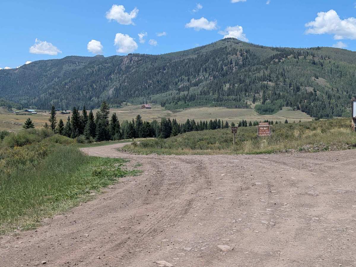
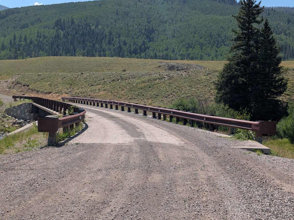
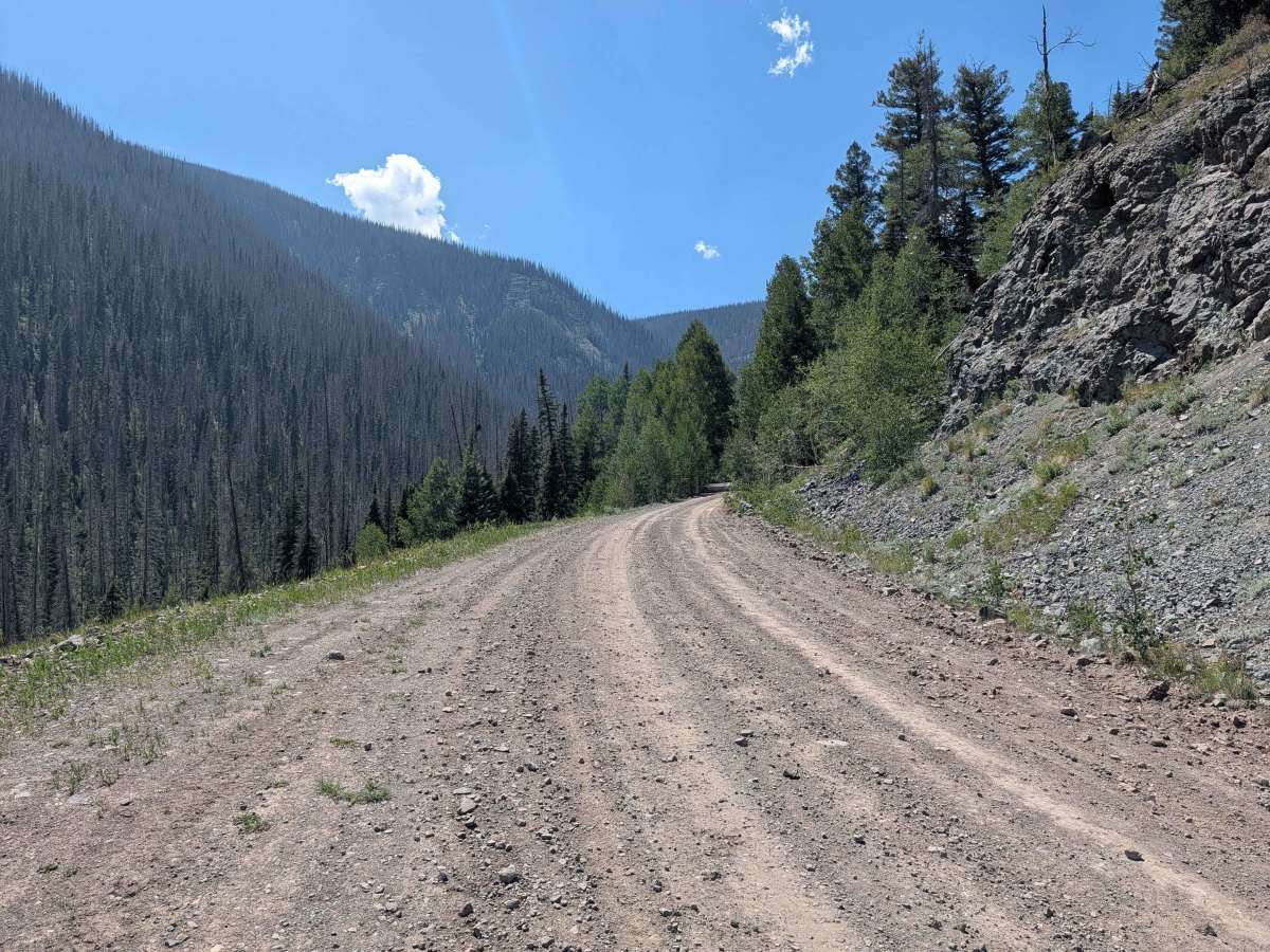
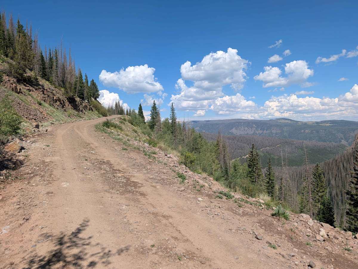
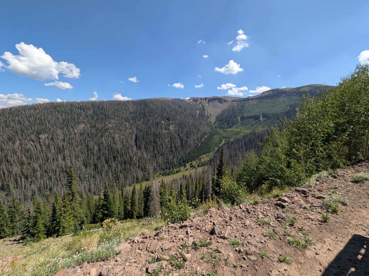
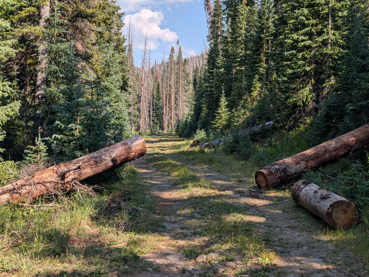
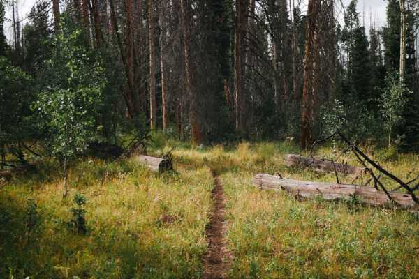
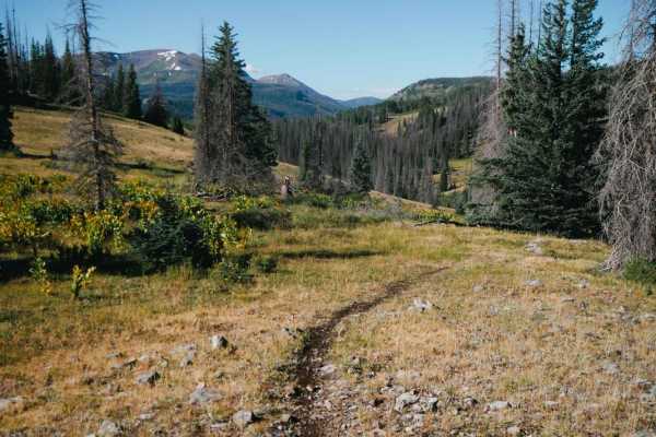
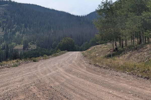
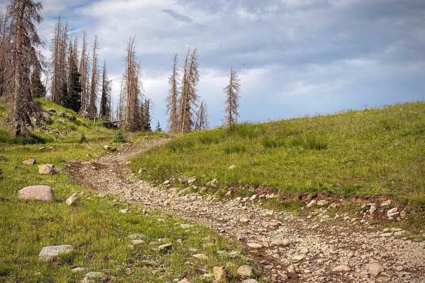
FS 105 is approximately 10 miles long from its start at the intersection of FS 250 to where it dead ends. It begins as a well-graded two-lane dirt road with some washboarding, exposed rocks embedded in the road, and shelf sections. The further you travel up the road (past the intersection with FS 100), it becomes less maintained and it has narrow sections (the narrowest was approximately7 feet), rutted areas, loose rocks, and some mud holes. In previous years, this trail has been blocked due to rockslides and/or fallen trees. Once you reach the end of the road, there is a short hiking path (not well maintained) that will take you to an overlook of the Platoro Reservoir.
Difficulty
The Conejos Peak Ranger District National Forest Map denotes most of this road as suitable for passenger cars, but the higher elevation section is not maintained for passenger cars. The higher elevation section has narrow portions (the narrowest was approximately 7 feet), rutted areas, loose rocks, and some mud holes. In previous years, this trail has been blocked due to rockslides and/or fallen trees.