
Dirt Bike Trails
Near Enoch, Utah
Explore All Dirt Bike Trails Near Enoch, Utah
Dirt Bike Trails Near Enoch, Utah
Discover the best dirt bike trails near you. Browse trail maps, check difficulty ratings, and find your next adventure — whether you're looking for a quick ride or an all-day expedition.
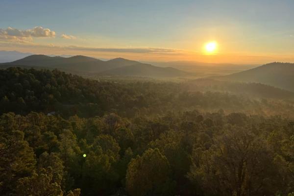
Arrowhead Trail
This trail starts in the flat lands with beautiful desert scenery for miles around, with a two-lane maintained road but sand can be washed out by floods so always keep in mind weather conditions. The further you travel the more mountainous the terrain becomes, the last mile turns to a single-lane un...
Learn more about Arrowhead Trail
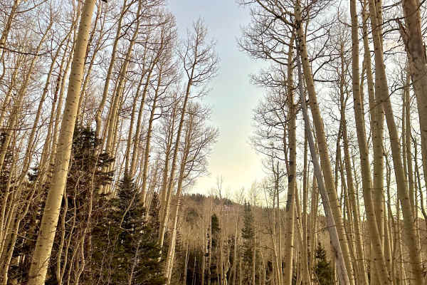
Sugar Loaf Mountain
This trail features a beautiful forest pass with a wide road, offering several camping spots along the way. As you navigate, you'll encounter small creeks and experience some steep inclines, particularly on the northwest section with about a 12 percent grade, while enjoying stunning views of Cedar B...
Learn more about Sugar Loaf Mountain

Navajo Point
This trail begins with a smooth path that meanders through a beautiful forest, offering plenty of pull-off spots for camping along the way. While there are sections with a steep incline, the trail also features flat areas and is wide enough to accommodate two vehicles, though it is closed seasonally...
Learn more about Navajo Point
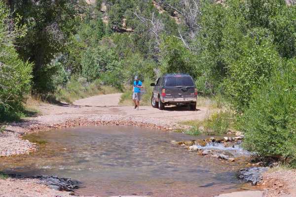
Second Left Hand
This trail starts off with an immediate water crossing. It's wide but no more than a foot deep. The trail then takes you up the canyon as a wide dirt road. This quickly changes into a narrow switchback trail that takes you up the plateau. As you go through the switchbacks you will cross by many beau...
Learn more about Second Left Hand

Mild West
This is a scenic drive up and/or down a huge mountain plateau. The trail is easy to follow and mostly on rock with small, loose rocks in between. The view from the top is amazing! This is also the exit route for the "Wild West" trail. Campsites are at the bottom of the hill and you'll drive right pa...
Learn more about Mild West
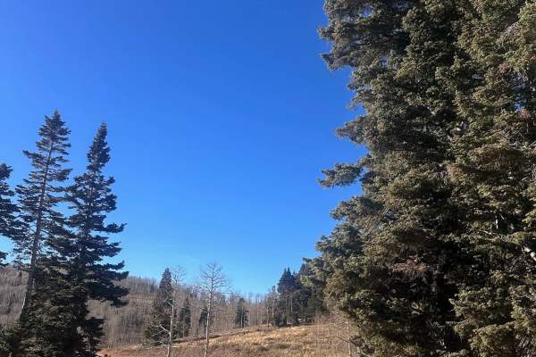
Webster Flat
This trail features a smooth, easy dirt road accessible off Highway 14, marked by a sign directing you to Webster Flat. Enjoy a scenic drive surrounded by stunning Aspens, with a wide enough path for two vehicles and cattle crossings, making it a highly recommended route in early fall for breathtaki...
Learn more about Webster Flat

Upper Basin Road
The Upper Basin Road is an improved dirt road that is rated 2 out of 10 that crosses a section of the Kolob Terrace. The southern end of the road starts at the north end of the Kolob Reservoir at the Kolob Road. The road progresses west around the lake and north across Bean Hill and Lee Point. Durin...
Learn more about Upper Basin Road

Kanarra Mountain Road
Kanarra Mountain is a 10.8-mile point-to-point improved dirt road rated 2 of 10 that crosses a section of the Kolob Terrace. Kanarra Mountain Road will be closed during winter months and open in late spring after the snow melts and the road has been assessed by the County Transportation officials. T...
Learn more about Kanarra Mountain Road
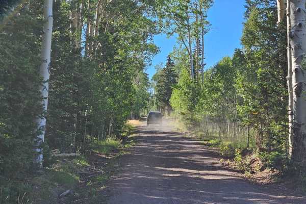
Markagunt Plateau
Starting from Highway 143, the trail starts out as a nice forest service dirt road. Roughly 4 miles in it turns into a single-lane dirt track as it descends the plateau. The trail becomes very rocky as you descend down the switchbacks and stays fairly rocky for the rest of the drive. Some parts are ...
Learn more about Markagunt Plateau
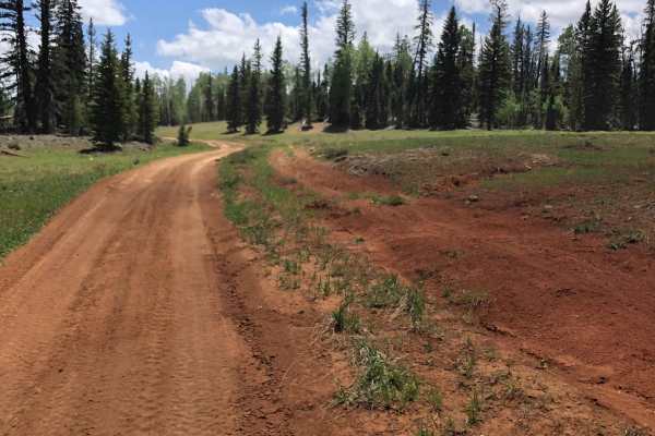
Red Desert Road
Red Desert Road (FR 32000.8.81) is a moderate forest road best suited for high-clearance vehicles and riders looking to access the broader Markagunt OHV network near Brian Head. It’s primarily a connector route, but its changing surface and elevation make it more than just a casual drive.
The road ...
Learn more about Red Desert Road

Gooseberry Point
An easy trail through the trees to a nice viewpoint in the Cedar mountains. The trail is a two track winding through the Pinon and Juniper trees. At the time of mapping, there was a large herd of sheep in the area, which we slowly passed through. There are no major obstacles to the trail.
Learn more about Gooseberry Point
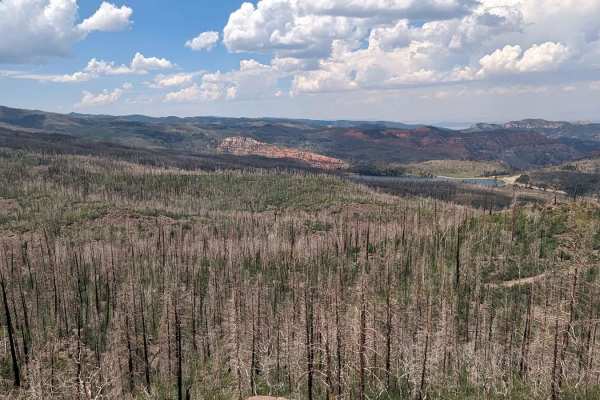
Markagunt Plateau-Clear Creek FS 30050
Markagunt Plateau-Clear Creek FS 30050 is a 4-mile point-to-point or out-and-back (depending upon vehicle size) trail located in Iron County, Utah, within the Cedar City Ranger District of the Dixie National Forest. The trailhead starts at the Clear Creek ATV parking area and travels west to the Cle...
Learn more about Markagunt Plateau-Clear Creek FS 30050
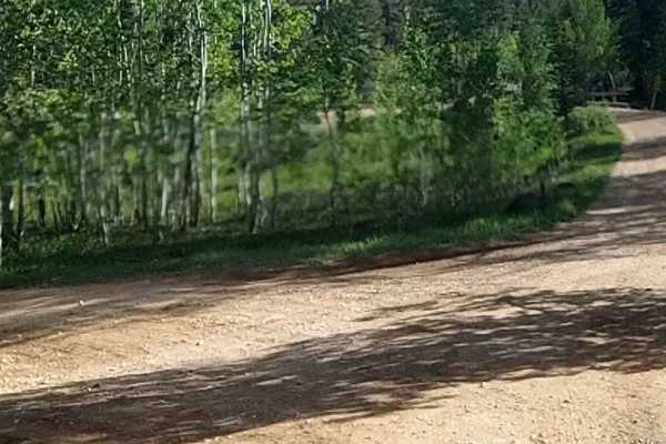
Sage Valley Road
Sage Valley Road (FR 32000.8.80) is a scenic forest road best suited for drivers looking for an easygoing backcountry connection rather than a technical challenge, with broad views and quiet travel through the Dixie National Forest. It’s a solid option for stock 4x4s and high-clearance vehicles want...
Learn more about Sage Valley Road
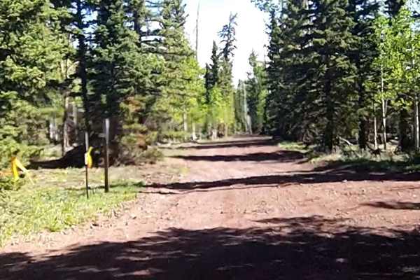
Tommy Creek Loop
This section of the Tommy Creek Loop goes across the Garfield County and Iron County lines. This is a dirt trail and is used in the Forest Service Trail System to access the Duck Creek Area trails. From this trail, the other sections loop using the Markagunt Plateau, Red Desert, and Sage Valley to e...
Learn more about Tommy Creek Loop
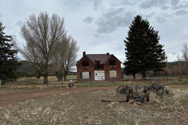
Meadow Valley
This trail is two lanes wide most of the way. A few small hills, but it is mostly flat lands. There is sagebrush on the east side, and the west side has a lot more trees, grass, and valleys. This road is fairly well maintained. The worst you can expect is a little bit of mud.
Learn more about Meadow Valley

Caddy Creek/Little Valley
While Climbing Horse Valley/Markagunt Plateau Caddy Creek will turn to the left. This will be a class 2 road providing beautiful scenery and amazing views. This is mainly gravel with some creek crossings. Check weather conditions route may turn muddy and slippery, while dry creek beds may start to f...
Learn more about Caddy Creek/Little Valley

Lake View Loop
This trail is an offshoot of Deer Valley Road just off Highway 14. It climbs to a high point where you can view Navajo Lake through the birch and pine trees. In summer, the trail is mild, loose gravel, with some minor washouts from snow melt and rain.
Learn more about Lake View Loop
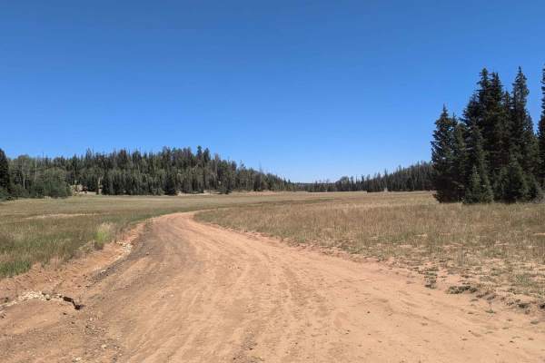
Deer Valley Loop
This trail is loose gravel, winding through towering pines and rolling meadows. It connects to Highway 14 at both ends of the trail and is an excellent area for camping at either end. Beware of a sheep herd in the area; it is posted all pets need to be leashed.
Learn more about Deer Valley Loop
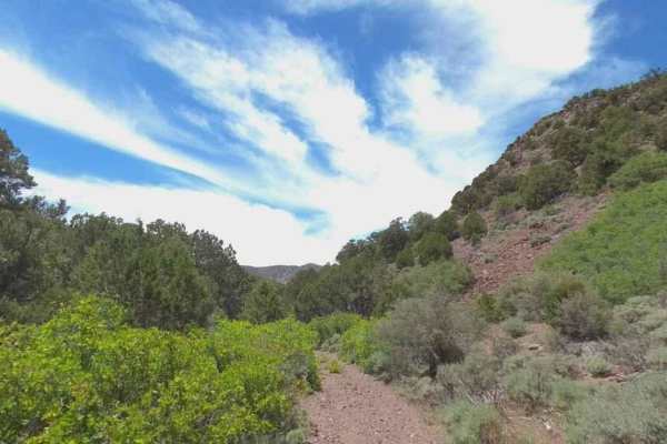
Chloride Canyon
Chloride Canyon is a 6.5-mile point-to-point trail located in Iron County, Utah. The trail is one of several that create the Antelope Range Loop and includes a section of the Old Spanish Trail. Chloride Canyon is a compacted dirt single-track trail that crosses through the middle of the Antelope Ran...
Learn more about Chloride Canyon
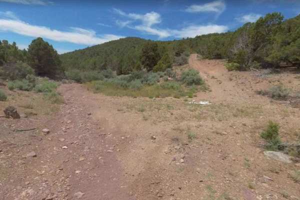
Burn Road
Burn Road is a 3-mile point-to-point trail located in Iron County, Utah. The trail is one of several that create the Antelope Range Loop and includes a section of the Old Spanish Trail. Burn Road is a compacted dirt single-track trail that crosses the eastern side of the Antelope Range. The trail ha...
Learn more about Burn Road
ATV trails near Enoch, Utah
Explore ATV-friendly trails near you. These trails are accessible for vehicles up to 50 inches wide, perfect for ATVs and smaller off-road machines.
Arrowhead Trail
This trail starts in the flat lands with beautiful desert scenery for miles around, with a two-lane maintained road but sand can be washed out by floods so always keep in mind weather conditions. The further you travel the more mountainous the terrain becomes, the last mile turns to a single-lane un...
Learn more about Arrowhead Trail
Sugar Loaf Mountain
This trail features a beautiful forest pass with a wide road, offering several camping spots along the way. As you navigate, you'll encounter small creeks and experience some steep inclines, particularly on the northwest section with about a 12 percent grade, while enjoying stunning views of Cedar B...
Learn more about Sugar Loaf Mountain
Navajo Point
This trail begins with a smooth path that meanders through a beautiful forest, offering plenty of pull-off spots for camping along the way. While there are sections with a steep incline, the trail also features flat areas and is wide enough to accommodate two vehicles, though it is closed seasonally...
Learn more about Navajo Point
Second Left Hand
This trail starts off with an immediate water crossing. It's wide but no more than a foot deep. The trail then takes you up the canyon as a wide dirt road. This quickly changes into a narrow switchback trail that takes you up the plateau. As you go through the switchbacks you will cross by many beau...
Learn more about Second Left Hand
UTV/side-by-side trails near Enoch, Utah
Find UTV and side-by-side trails near you. These trails accommodate vehicles up to 60 inches wide, ideal for UTVs, side-by-sides, and wider off-road rigs.
Arrowhead Trail
This trail starts in the flat lands with beautiful desert scenery for miles around, with a two-lane maintained road but sand can be washed out by floods so always keep in mind weather conditions. The further you travel the more mountainous the terrain becomes, the last mile turns to a single-lane un...
Learn more about Arrowhead Trail
Sugar Loaf Mountain
This trail features a beautiful forest pass with a wide road, offering several camping spots along the way. As you navigate, you'll encounter small creeks and experience some steep inclines, particularly on the northwest section with about a 12 percent grade, while enjoying stunning views of Cedar B...
Learn more about Sugar Loaf Mountain
Navajo Point
This trail begins with a smooth path that meanders through a beautiful forest, offering plenty of pull-off spots for camping along the way. While there are sections with a steep incline, the trail also features flat areas and is wide enough to accommodate two vehicles, though it is closed seasonally...
Learn more about Navajo Point
Second Left Hand
This trail starts off with an immediate water crossing. It's wide but no more than a foot deep. The trail then takes you up the canyon as a wide dirt road. This quickly changes into a narrow switchback trail that takes you up the plateau. As you go through the switchbacks you will cross by many beau...
Learn more about Second Left Hand
The onX Offroad Difference
onX Offroad combines trail photos, descriptions, difficulty ratings, width restrictions, seasonality, and more in a user-friendly interface. Available on all devices, with offline access and full compatibility with CarPlay and Android Auto. Discover what you're missing today!
Open Trail Map