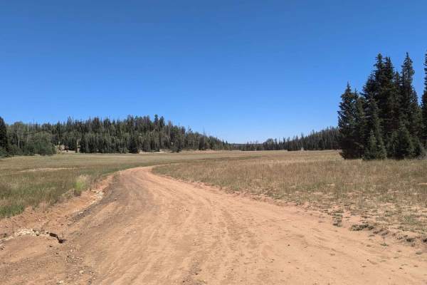
Trail Overview
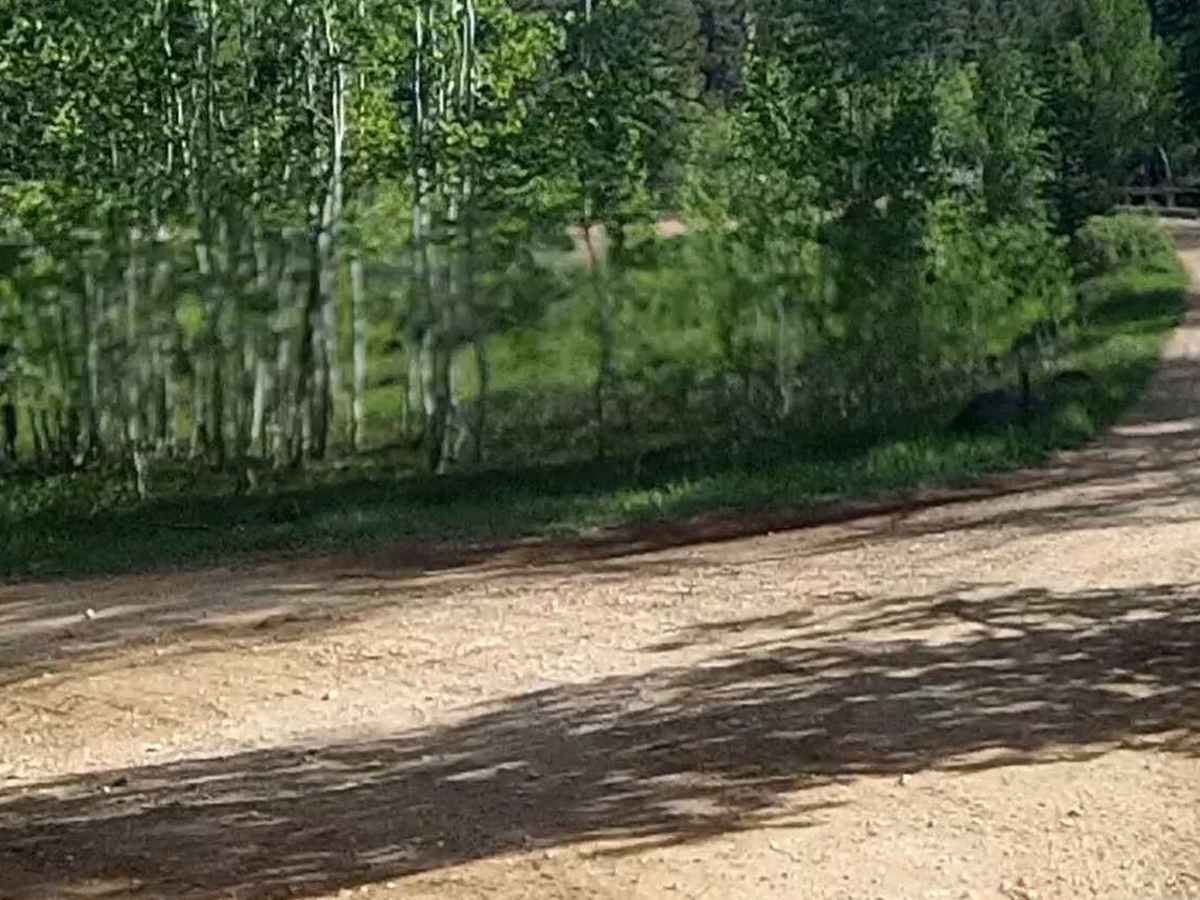
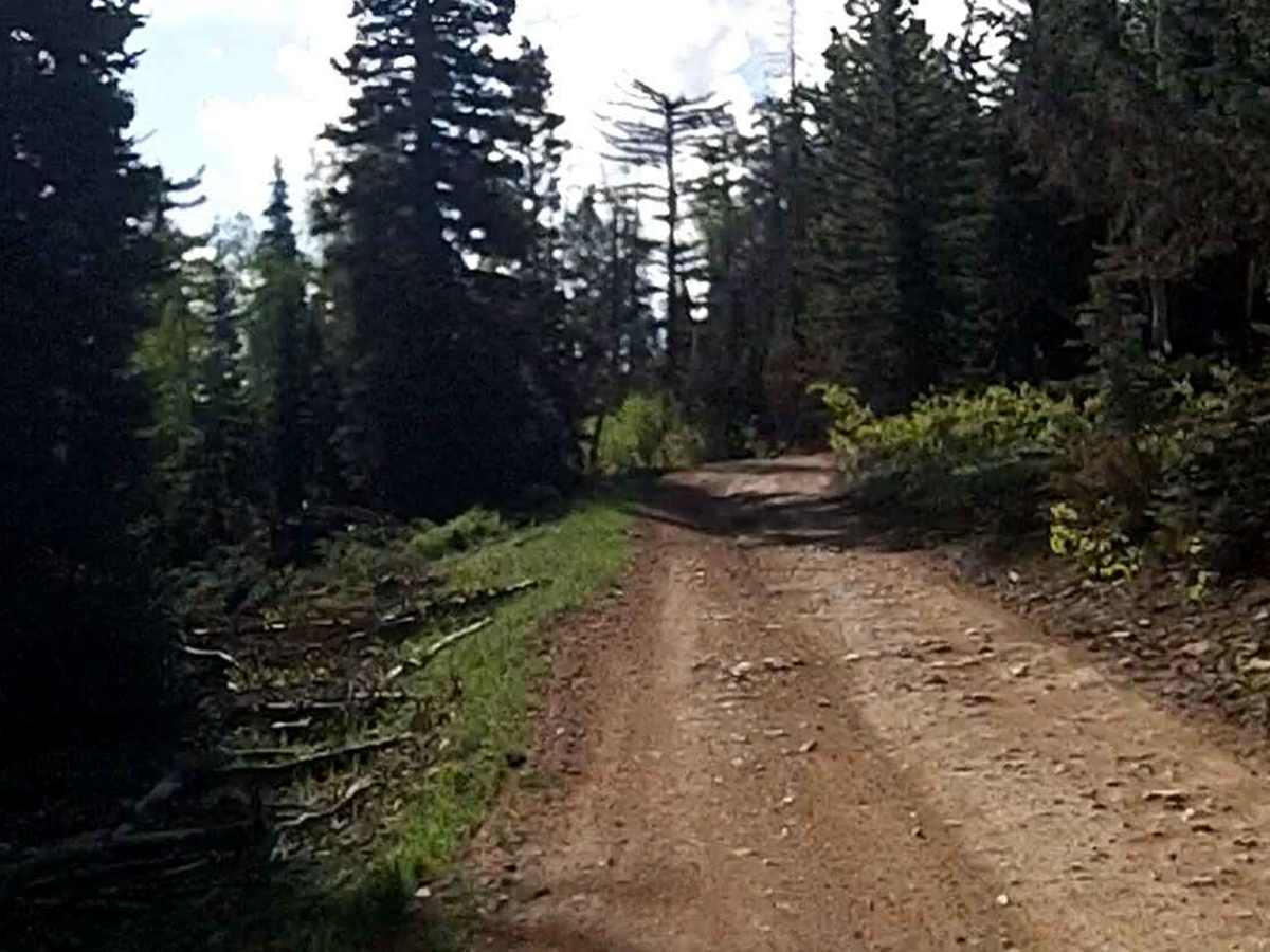
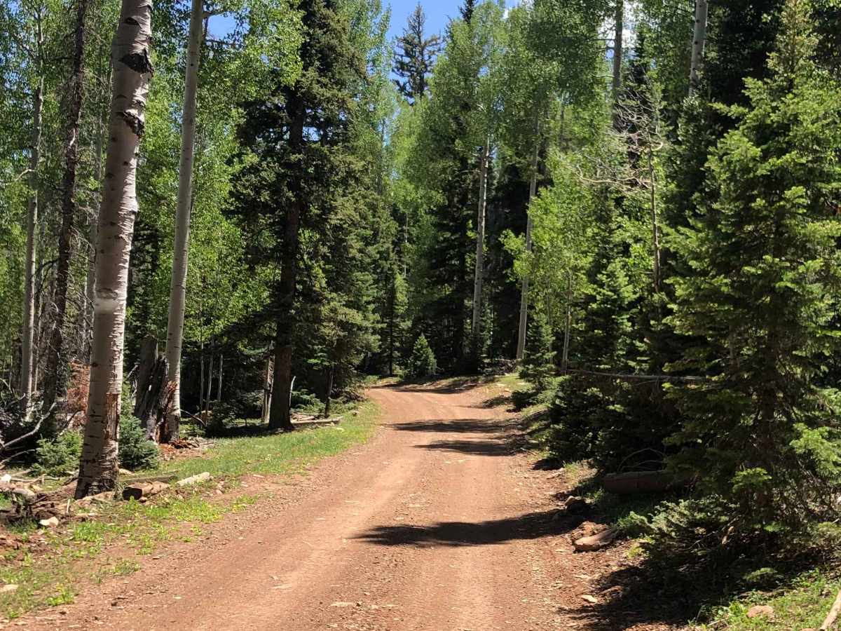
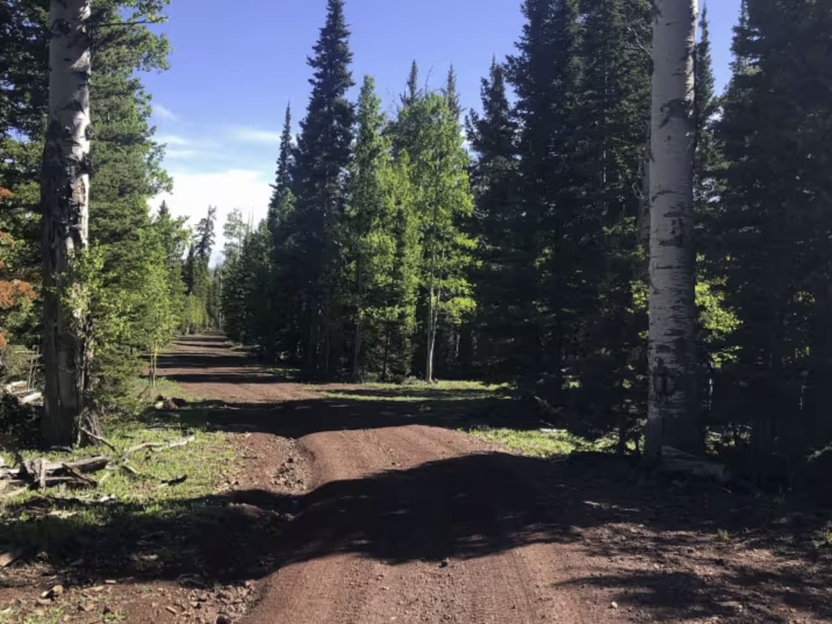
Sage Valley Road (FR 32000.8.80) is a scenic forest road best suited for drivers looking for an easygoing backcountry connection rather than a technical challenge, with broad views and quiet travel through the Dixie National Forest. It’s a solid option for stock 4x4s and high-clearance vehicles wanting to explore the Cedar City Ranger District and access the Markagunt Plateau without encountering to difficult terrain.
Running between State Route 14 near Midway Valley and interior plateau routes, this National Forest System Road is primarily native dirt and gravel, with stretches of washboard and occasional ruts depending on maintenance and recent weather. Difficulty is generally easy to moderate, but conditions can change quickly—rain or snowmelt often turns sections muddy and slick, and freeze–thaw cycles can deepen ruts in spring. While many drivers navigate it in dry conditions with street-legal vehicles, a high-clearance or 4x4 setup is strongly recommended when storms have passed through or if you’re traveling farther from SR-14. Seasonal access is a key consideration, as snowdrifts and soft roads commonly limit travel from late fall through spring at higher elevations on the Markagunt Plateau. Expect limited cell service, active grazing operations, and wildlife on or near the road, especially during early morning and evening travel.