Red Desert Road

Total Miles7.2
Technical Rating
1Easy
Best TimeSpring, Summer, Fall
Trail TypeHigh-Clearance 4x4 Trail
Accessible By
Open Trail Map

Trail Overview

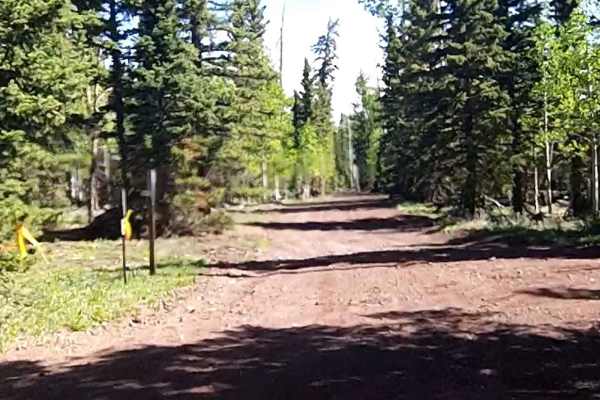
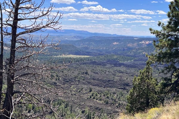
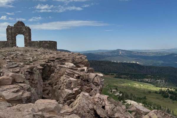
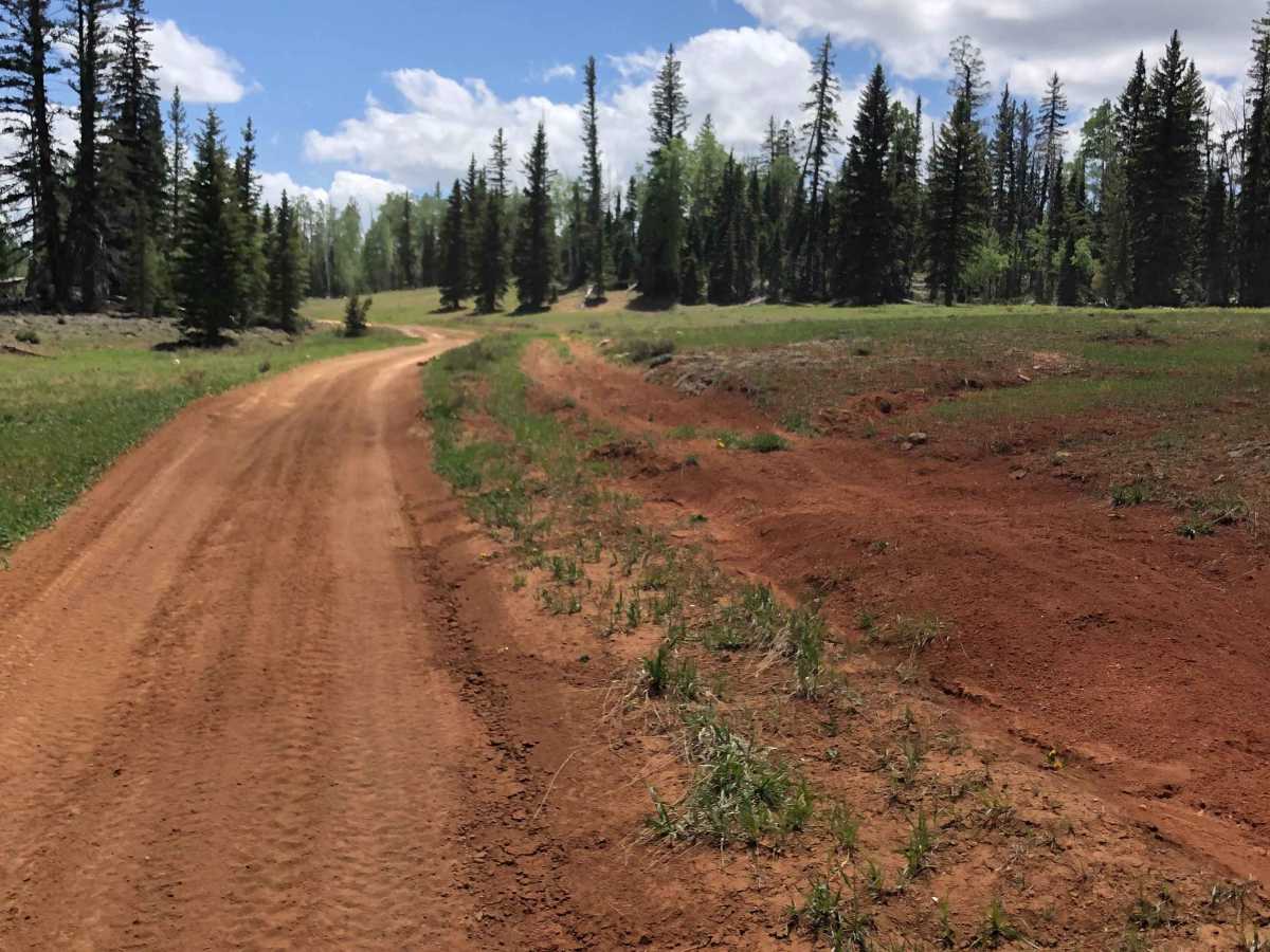
Red Desert Road (FR 32000.8.81) is a moderate forest road best suited for high-clearance vehicles and riders looking to access the broader Markagunt OHV network near Brian Head. It’s primarily a connector route, but its changing surface and elevation make it more than just a casual drive. The road links SR 143 with Sage Valley Road, cutting through high-elevation Dixie National Forest terrain characterized by native dirt, sand, and embedded rock. Washboard sections, shallow erosion, and sandy stretches are common, with ruts and rough patches becoming more pronounced after storms or during spring snowmelt. While most of the route is manageable for stock 4x4s in dry conditions, clearance and traction matter when the road is wet or degraded. ATVs, SxS/UTVs, and dirt bikes are permitted and frequently encountered, especially near intersections with designated OHV routes, so expect mixed traffic and reduced visibility from dust during dry summer months. Access is typically seasonal due to snow at higher elevations, with late fall through spring closures or impassable conditions common depending on snowfall. Summer monsoon storms can quickly turn the surface muddy and may cause localized washouts, making weather awareness important before committing to the route. As a designated Forest Road managed by the Cedar City Ranger District, Red Desert Road serves as a key access corridor for exploring this part of Iron County while offering a true high-country forest road experience rather than a maintained highway-style drive.

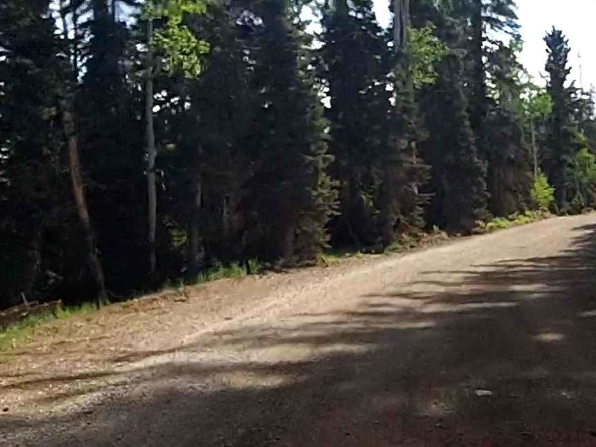
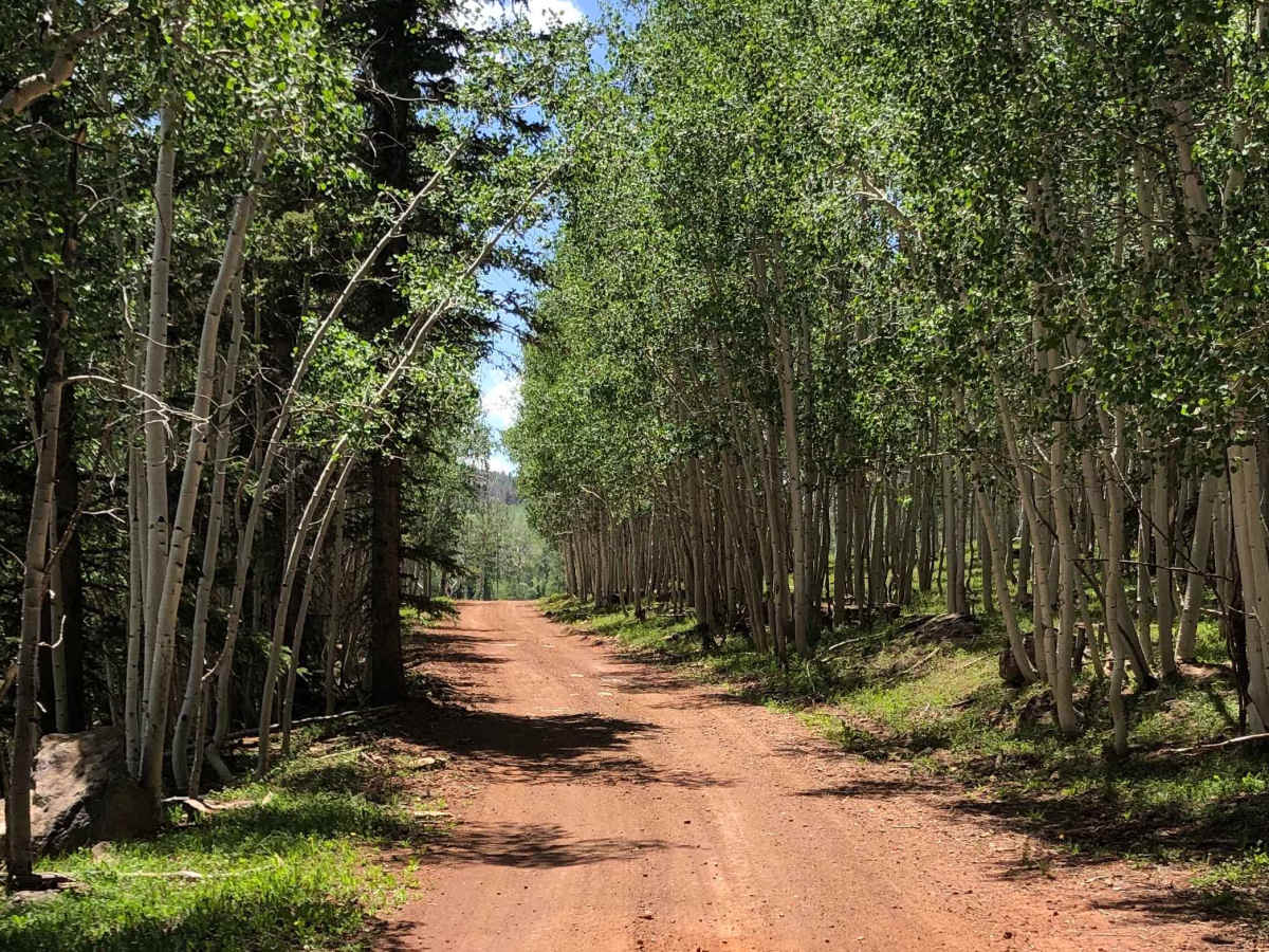
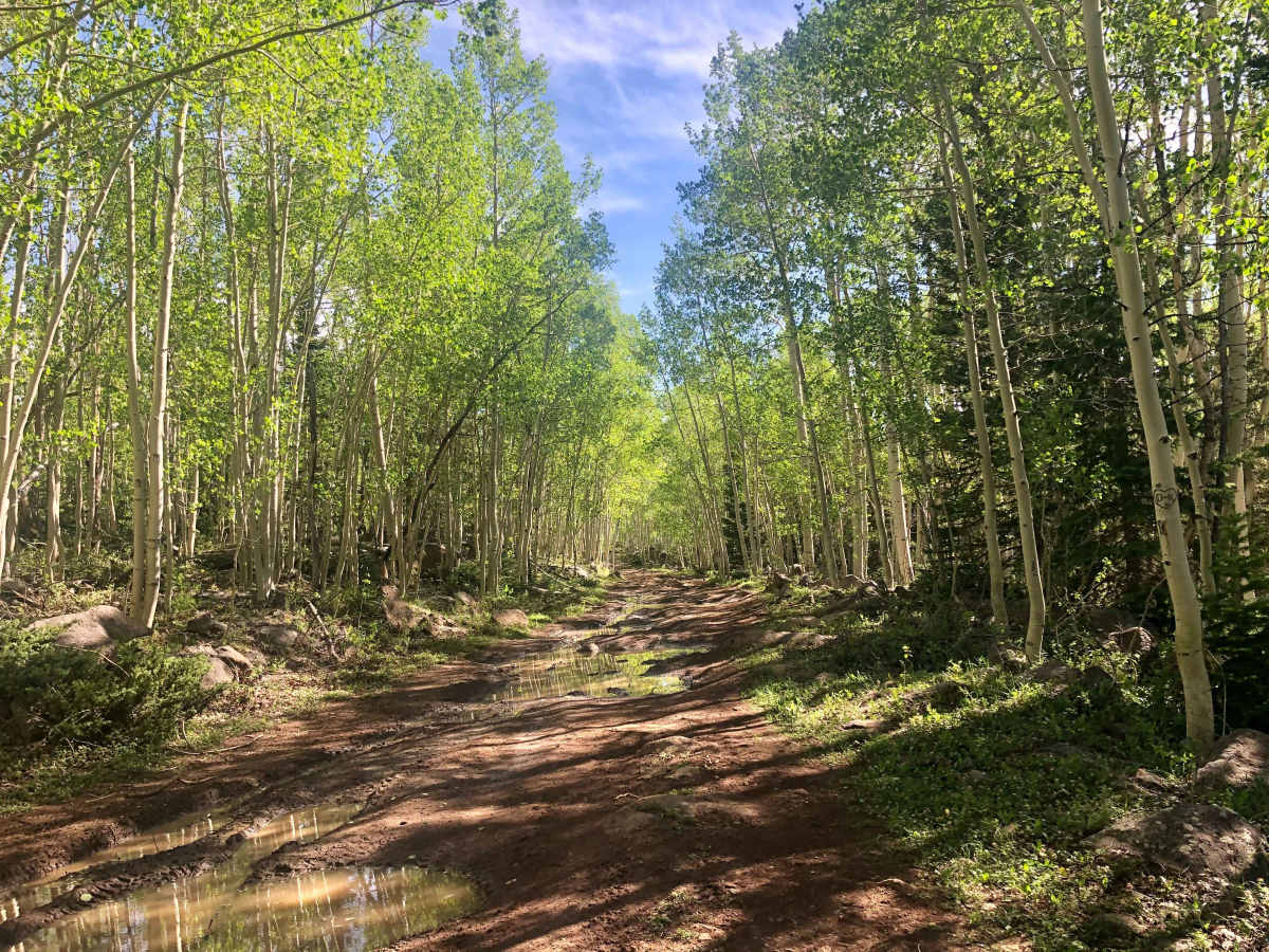
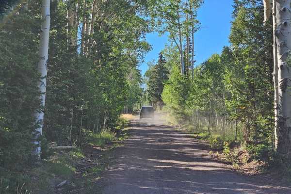
Photos of Red Desert Road

Difficulty

Smooth and wide except for a short section of bumpy, small rocks.

Technical Rating

1

Status Reports

Add Status Report
zach W
Jul 13, 2026
2007 Land Rover LR3
Open
Rough/Deteriorated
I definitely wouldn’t categorize this as a level 1. In my LR3 with a 2” lift and 33” tires, I was bottoming out on the very rocky surface that is there once you get in a bit from the turnoff of Sage Valley rd (maybe .2-.3 miles in) if I had to rate this using the 1-10 rating system I would call it a 4-5 with mandatory high clearance, low range, 4wheel drive and some tires that can take a beating from some rocks. At least for traditional vehicles.
Kevin Mitchell
Jul 04, 2026
2026 Canam Defender HD11
Open
Rough/DeterioratedWashboard
Trail was rough along the way. Lots of washouts. The closer you get to sage valley road the road is washed out and all large rocks. Crawled up the hill in 4x4 low with both axles locked. If you’re not confident or have a capable machine it’s best to turn around.

Red Desert Road Trail can be accessed by the following ride types:

  • Single Track
  • 50 Inch
  • 60 Inch
  • High Clearance

Red Desert Road Map

The onX Offroad Difference

onX Offroad combines trail photos, descriptions, difficulty ratings, width restrictions, seasonality, and more in a user-friendly interface. Available on all devices, with offline access and full compatibility with CarPlay and Android Auto. Discover what you're missing today!

Open Trail Map