
Dirt Bike Trails
Near Dulce, New Mexico
Explore All Dirt Bike Trails Near Dulce, New Mexico
Dirt Bike Trails Near Dulce, New Mexico
Discover the best dirt bike trails near you. Browse trail maps, check difficulty ratings, and find your next adventure — whether you're looking for a quick ride or an all-day expedition.
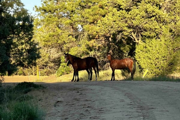
Carracas Mesa/ NFS 218
This trail isn't technically challenging and is well-maintained--if the drive up American Canyon was completed, there wouldn't be any problems driving Carracas mesa. The road is generally just wide enough for two vehicles but is graded regularly. A gravel road bed has been added in most places to k...
Learn more about Carracas Mesa/ NFS 218
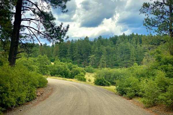
Buckles Lake Road - FS 663
Well-maintained gravel forest road that travels up through Oak, Pine, and Aspen areas, with lots of scenic views of the surrounding area and lots of dispersed camping spots. At the end of the road is a parking area for the trailheads for the Navajo and Buckles Lake trails, along with a restroom.
Learn more about Buckles Lake Road - FS 663
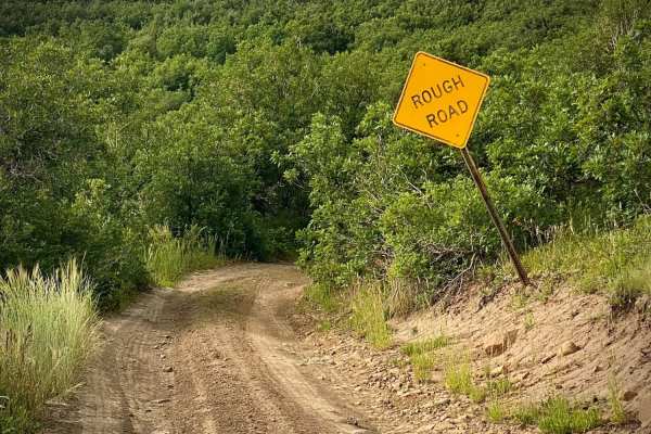
Fr Road 664
Big Branch road runs from Buckles Lake road (#663) to the Blue Creek road (#612). Right as you start the trail it warns of a rough road, following are several spots with large dips from the beginning, after that it becomes rut roads with a few rocks and possible mud holes. The trail crosses several ...
Learn more about Fr Road 664
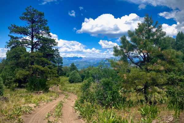
Eight Mile Mesa B-USFS Rd #651B
Eight Mile Mesa B (#651B) forks to the left off of the main road about half a mile from the first fork to the right for Eight Mile Mesa A. It's just under a mile long and an easy rut road with a few rocks and some dips through pine trees and meadows of wildflowers in the late spring and early summer...
Learn more about Eight Mile Mesa B-USFS Rd #651B
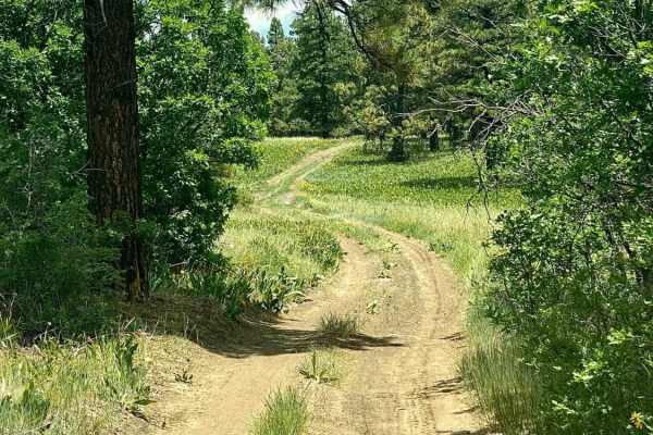
Eight Mile Mesa E-USFS Rd #651E
Eight Mile Mesa E (#651E) forks right with Eight Mile Mesa D (#651D) forking to the left at the end of the main Eight Mile Mesa Road, approximately 6.5 miles from the highway turnoff. This road goes through some large open meadows, which can be spectacular with wildflowers in season. At the very end...
Learn more about Eight Mile Mesa E-USFS Rd #651E
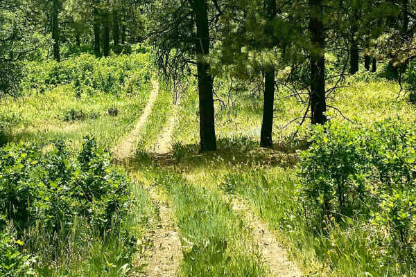
Eight Mile Mesa D-USFS Rd #651D
Eight Mile Mesa D (#651D) forks left with Eight Mile Mesa E (#651E) forking to the right at the end of the main Eight Mile Mesa road, approximately 6.5 miles from the highway turnoff. This road is a delightful drive through fields of flowers and trees to the end where you might be able to camp, but ...
Learn more about Eight Mile Mesa D-USFS Rd #651D
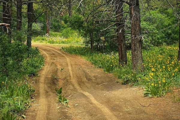
Lookout Tower & Views-USFS Rd #651A
The Fork for Eight Mile Mesa A (#651A) is a short road to the right off of the main Eight Mile Mesa Road (#651). It leads you to the historic fire lookout tower site with views to the North towards Pagosa Springs and the San Juan mountains. The fire lookout tower is closed to the public, but the swe...
Learn more about Lookout Tower & Views-USFS Rd #651A
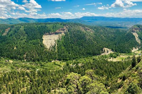
Eight Mile Mesa C-USFS Rd #651C
Eight Mile Mesa C (#651C) forks left off the main road about 5 miles from the beginning of the USFS road. It's about 4.5 miles to the end where there were a few disturbed primitive campsites, as well as a few sites along the way. In late spring/early summer there are often plentiful wildflowers. The...
Learn more about Eight Mile Mesa C-USFS Rd #651C

Navajo Peak Road - FS 731
Typical forest road for this area. Nice, easy gravel road that travels up through oak, pine, and aspen forest. Nice views of Navajo Peak and the surrounding area throughout the drive, with a lot of dispersed camping along the way. At the end of the road is the trailhead for Navajo Peak. Seasonal clo...
Learn more about Navajo Peak Road - FS 731
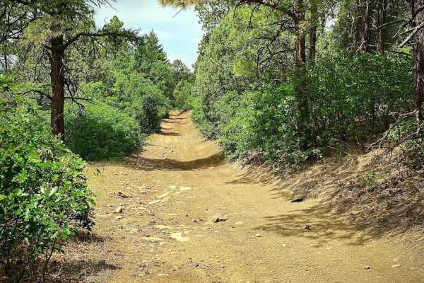
Eight Mile Mesa Rd-USFS Rd #651
Eight Mile Mesa Road (#651) will take you to the top of Eight Mile Mesa South of Pagosa Springs, Colorado with a network of trails leading to different points of the mesa. After turning off of Hwy 84, the road goes about a mile through a housing area with the USFS road starting at the Forest Service...
Learn more about Eight Mile Mesa Rd-USFS Rd #651
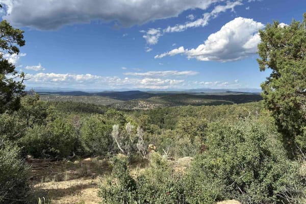
American Canyon - FSR 310
This trail isn't technically challenging, though mud, weather, and the isolated nature of most of the terrain should all be serious considerations, as there is little-to-no cell service along most of the trail. The trail starts off of the north side of Route 64 in Carson National Forest close to the...
Learn more about American Canyon - FSR 310
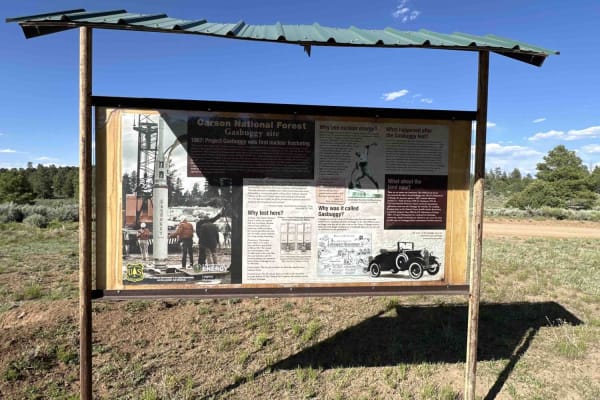
Gas Buggy Spur
This is a quick spur that takes you from the Cedar Springs Loop to the Gas Buggy Interpretive Site. Not quite wide enough for two cars in many places, it still is suitable for most vehicles, though some side road opportunities require a high-clearance vehicle with 4WD, and there are corrals for trai...
Learn more about Gas Buggy Spur
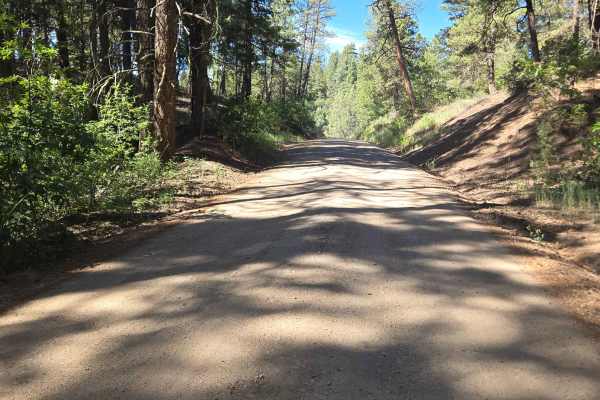
Snow Ranch Road
Snow Ranch Road - FS 628 is a dirt road that begins near the National Forest entrance from Turkey Springs Road. The beginning of this dirt road is very well-maintained, but as you progress further, it becomes rocky and uneven in some areas. There is also a low-water concrete crossing near the end o...
Learn more about Snow Ranch Road
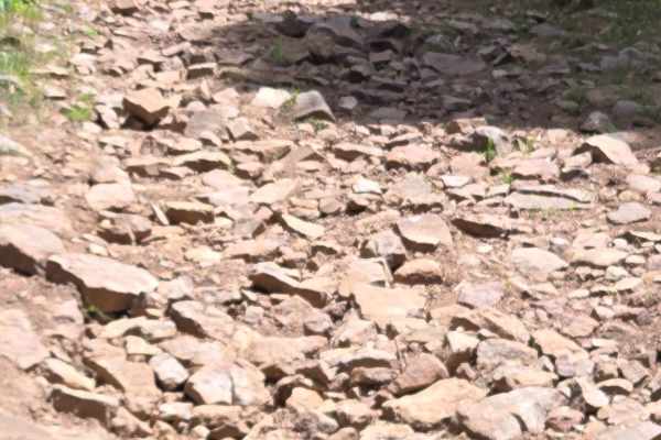
Chris Mountain Road - FS 681
Chris Mountain Road is a moderately challenging, fun trail that starts from the south end of the trail at Snow Ranch Road (FR628). The trail has multiple areas of rocky terrain that can be challenging for a beginning rider on an ATV or motorcycle, as it can really bounce you around. The beginning of...
Learn more about Chris Mountain Road - FS 681
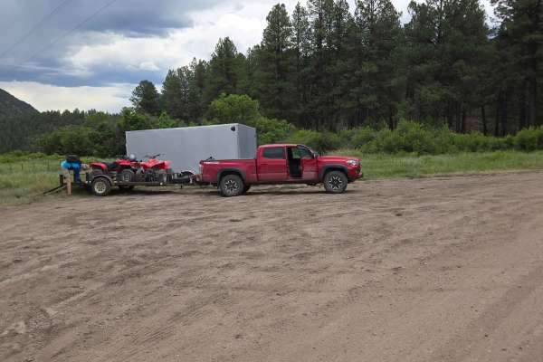
FS 613
Fossett Gulch Road - FS 613 is a forest service dirt road that begins right off of Highway 160. It is approximately 26 miles west on Highway 160 from downtown Pagosa Springs. There is an area right at the beginning of the road for parking and unloading. The road is very well maintained. There are c...
Learn more about FS 613
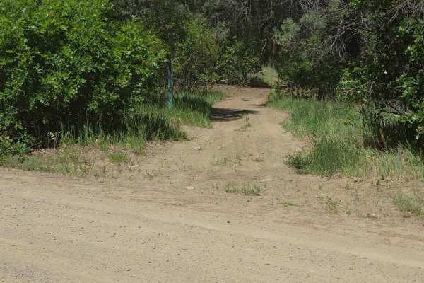
Little Bull Creek Trail - FS 683
Little Bull Creek Trail is a fun ATV/Dirt Bike Trail. The trail starts at the end of Fossett Gulch Road. The trail is located on the right of the road. Do not travel past the trail entrance, as this is Southern Ute land and there is no public access. There are several flat smooth areas where you can...
Learn more about Little Bull Creek Trail - FS 683
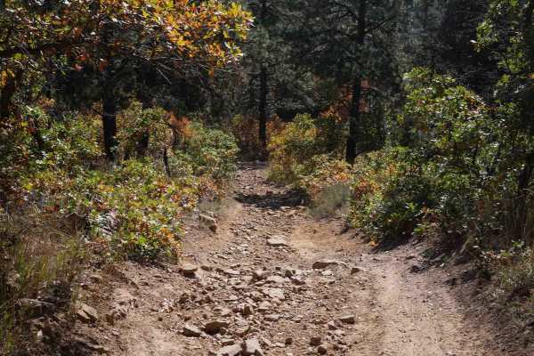
South Brockover
The west end of South Brockover starts on Turkey Springs Road. It goes along the rim of a mesa, overlooking the mountains, intersects with Circle T, and continues east on an easy two-track. The majority of this trail is pretty easy. It has intermittent sections of loose rock and chunky embedded laye...
Learn more about South Brockover
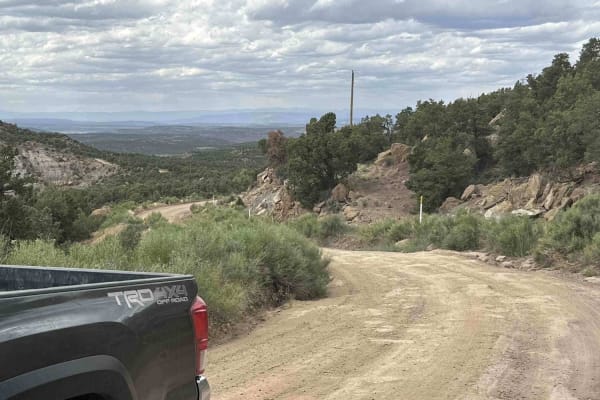
Laguna Seca Mesa
This route starts at US Route 64. Initially following oil roads on BLM land, it climbs a little over 700 feet through sagebrush, juniper and pinon pine to the top of Laguna Seca Mesa and Carson National Forest. There are a lot of stunning views and vistas on both sides of the trail, out to the S...
Learn more about Laguna Seca Mesa
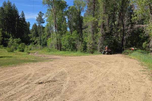
Snow Ranch ATV Trail 704
Snow Ranch ATV Trail is open to ATVs and motorcycles only. The trail is mostly rocks, with a few stretches of smooth, fast riding near the end of the trail. The rocky areas can be challenging for a beginning rider on an ATV or motorcycle, as they can really bounce you around. The trail winds through...
Learn more about Snow Ranch ATV Trail 704
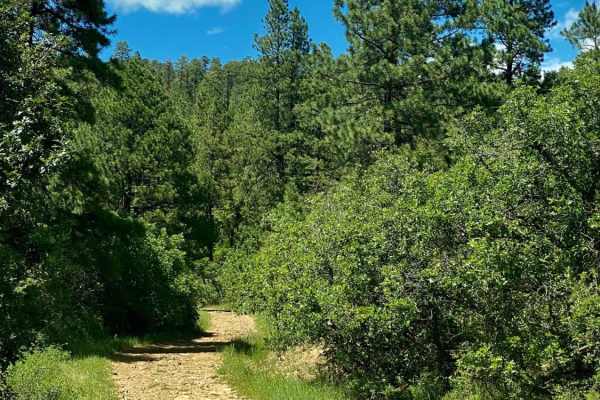
Devil Mountain-Fr Rd 626
Camping, Jeeping and Hunting on Devil Mountain-Fr Rd 626 There is some space when you first turn onto the trail from Hwy 160 to air up or down. After that area the Devil Mountain trail is pretty much uphill. The road is rocky so high clearance 4x4 vehicles are recommended as some of the climbs are s...
Learn more about Devil Mountain-Fr Rd 626
ATV trails near Dulce, New Mexico
Explore ATV-friendly trails near you. These trails are accessible for vehicles up to 50 inches wide, perfect for ATVs and smaller off-road machines.
Carracas Mesa/ NFS 218
This trail isn't technically challenging and is well-maintained--if the drive up American Canyon was completed, there wouldn't be any problems driving Carracas mesa. The road is generally just wide enough for two vehicles but is graded regularly. A gravel road bed has been added in most places to k...
Learn more about Carracas Mesa/ NFS 218
Buckles Lake Road - FS 663
Well-maintained gravel forest road that travels up through Oak, Pine, and Aspen areas, with lots of scenic views of the surrounding area and lots of dispersed camping spots. At the end of the road is a parking area for the trailheads for the Navajo and Buckles Lake trails, along with a restroom.
Learn more about Buckles Lake Road - FS 663
Fr Road 664
Big Branch road runs from Buckles Lake road (#663) to the Blue Creek road (#612). Right as you start the trail it warns of a rough road, following are several spots with large dips from the beginning, after that it becomes rut roads with a few rocks and possible mud holes. The trail crosses several ...
Learn more about Fr Road 664
Eight Mile Mesa E-USFS Rd #651E
Eight Mile Mesa E (#651E) forks right with Eight Mile Mesa D (#651D) forking to the left at the end of the main Eight Mile Mesa Road, approximately 6.5 miles from the highway turnoff. This road goes through some large open meadows, which can be spectacular with wildflowers in season. At the very end...
Learn more about Eight Mile Mesa E-USFS Rd #651E
UTV/side-by-side trails near Dulce, New Mexico
Find UTV and side-by-side trails near you. These trails accommodate vehicles up to 60 inches wide, ideal for UTVs, side-by-sides, and wider off-road rigs.
Carracas Mesa/ NFS 218
This trail isn't technically challenging and is well-maintained--if the drive up American Canyon was completed, there wouldn't be any problems driving Carracas mesa. The road is generally just wide enough for two vehicles but is graded regularly. A gravel road bed has been added in most places to k...
Learn more about Carracas Mesa/ NFS 218
Buckles Lake Road - FS 663
Well-maintained gravel forest road that travels up through Oak, Pine, and Aspen areas, with lots of scenic views of the surrounding area and lots of dispersed camping spots. At the end of the road is a parking area for the trailheads for the Navajo and Buckles Lake trails, along with a restroom.
Learn more about Buckles Lake Road - FS 663
Fr Road 664
Big Branch road runs from Buckles Lake road (#663) to the Blue Creek road (#612). Right as you start the trail it warns of a rough road, following are several spots with large dips from the beginning, after that it becomes rut roads with a few rocks and possible mud holes. The trail crosses several ...
Learn more about Fr Road 664
Eight Mile Mesa B-USFS Rd #651B
Eight Mile Mesa B (#651B) forks to the left off of the main road about half a mile from the first fork to the right for Eight Mile Mesa A. It's just under a mile long and an easy rut road with a few rocks and some dips through pine trees and meadows of wildflowers in the late spring and early summer...
Learn more about Eight Mile Mesa B-USFS Rd #651B
The onX Offroad Difference
onX Offroad combines trail photos, descriptions, difficulty ratings, width restrictions, seasonality, and more in a user-friendly interface. Available on all devices, with offline access and full compatibility with CarPlay and Android Auto. Discover what you're missing today!
Open Trail Map