Eight Mile Mesa E-USFS Rd #651E

Total Miles3.7
Technical Rating
2Easy
Best TimeSpring, Summer, Fall
Trail TypeFull-Width Road
Accessible By
Open Trail Map

Trail Overview

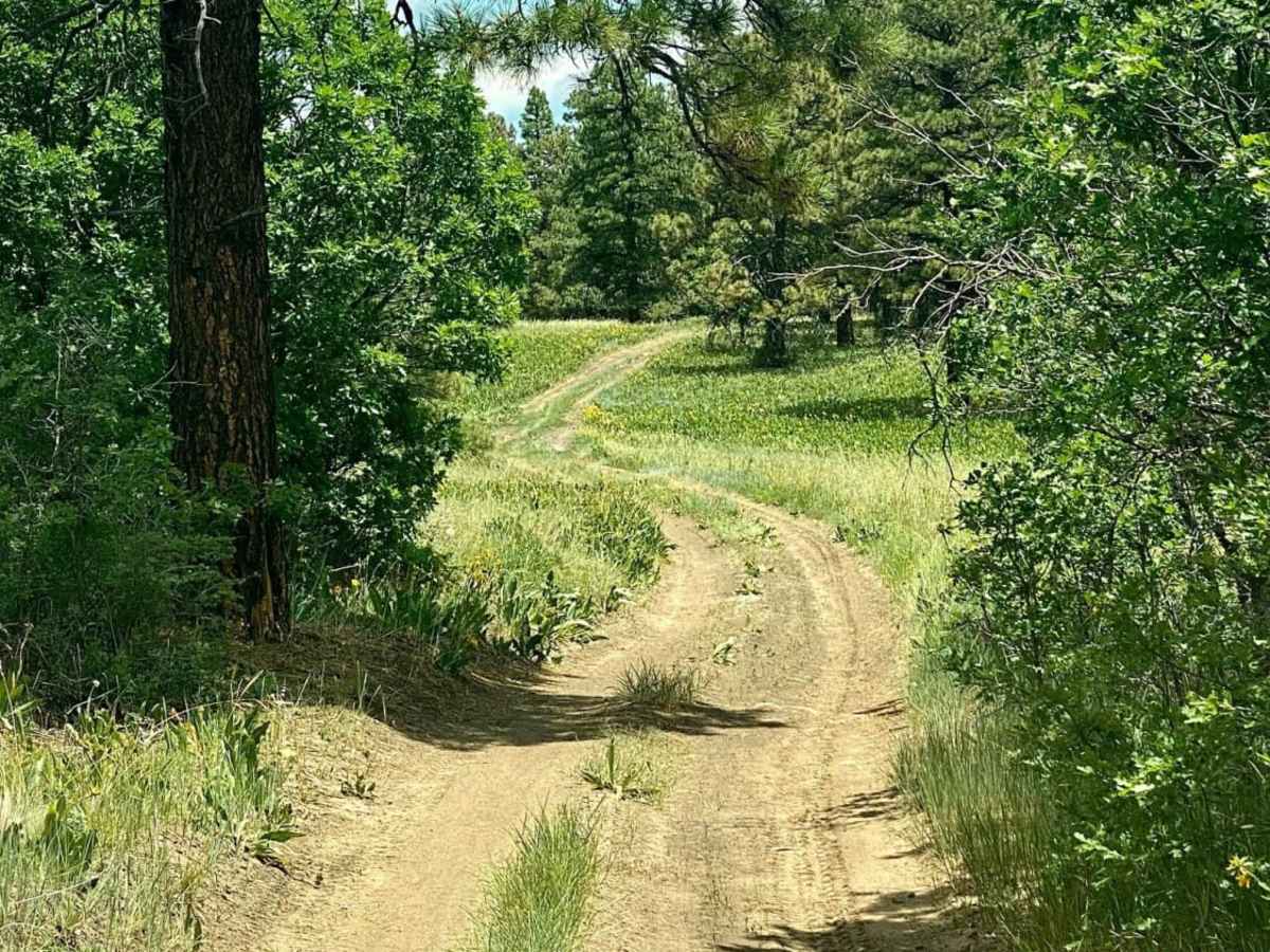
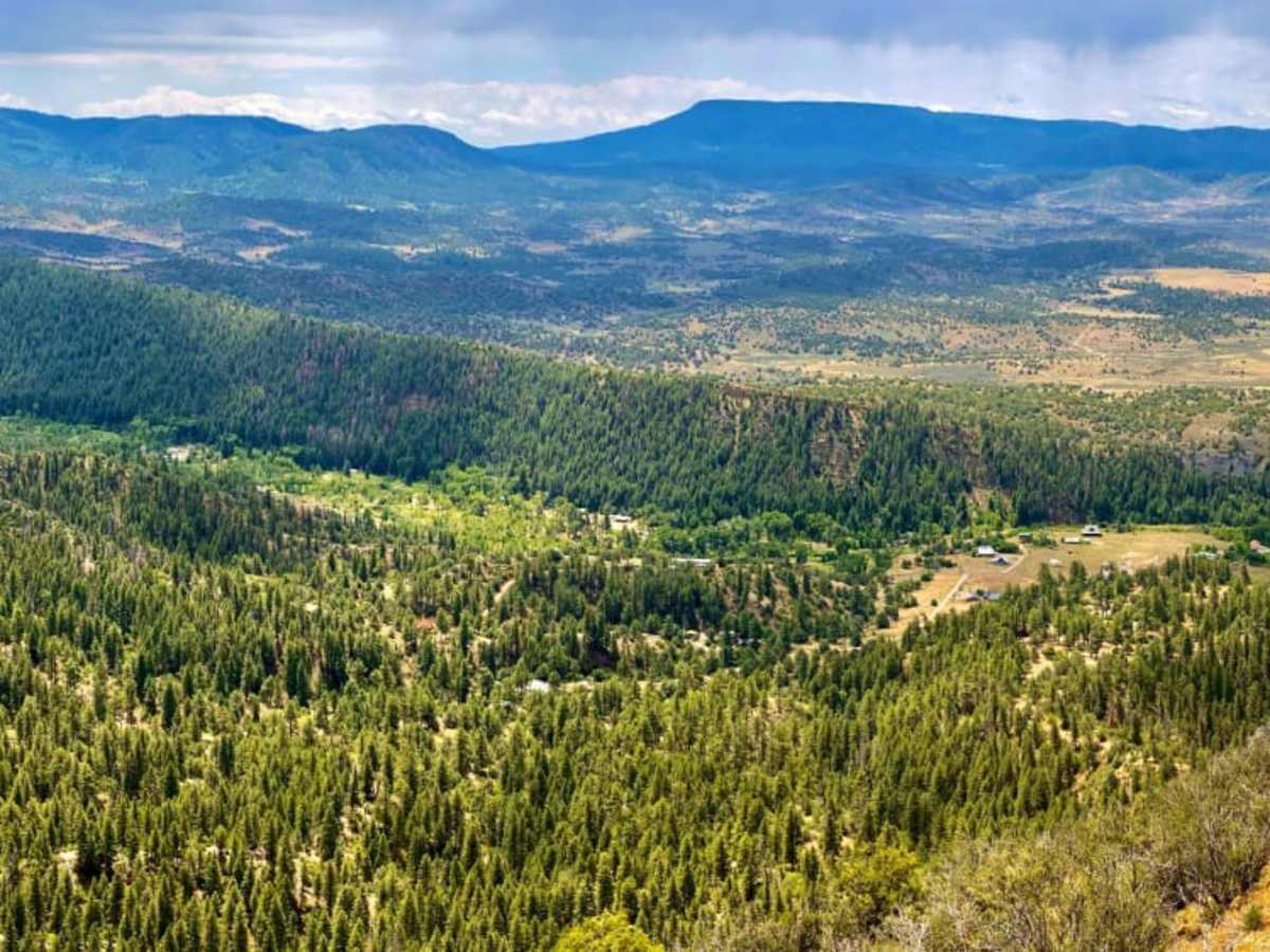
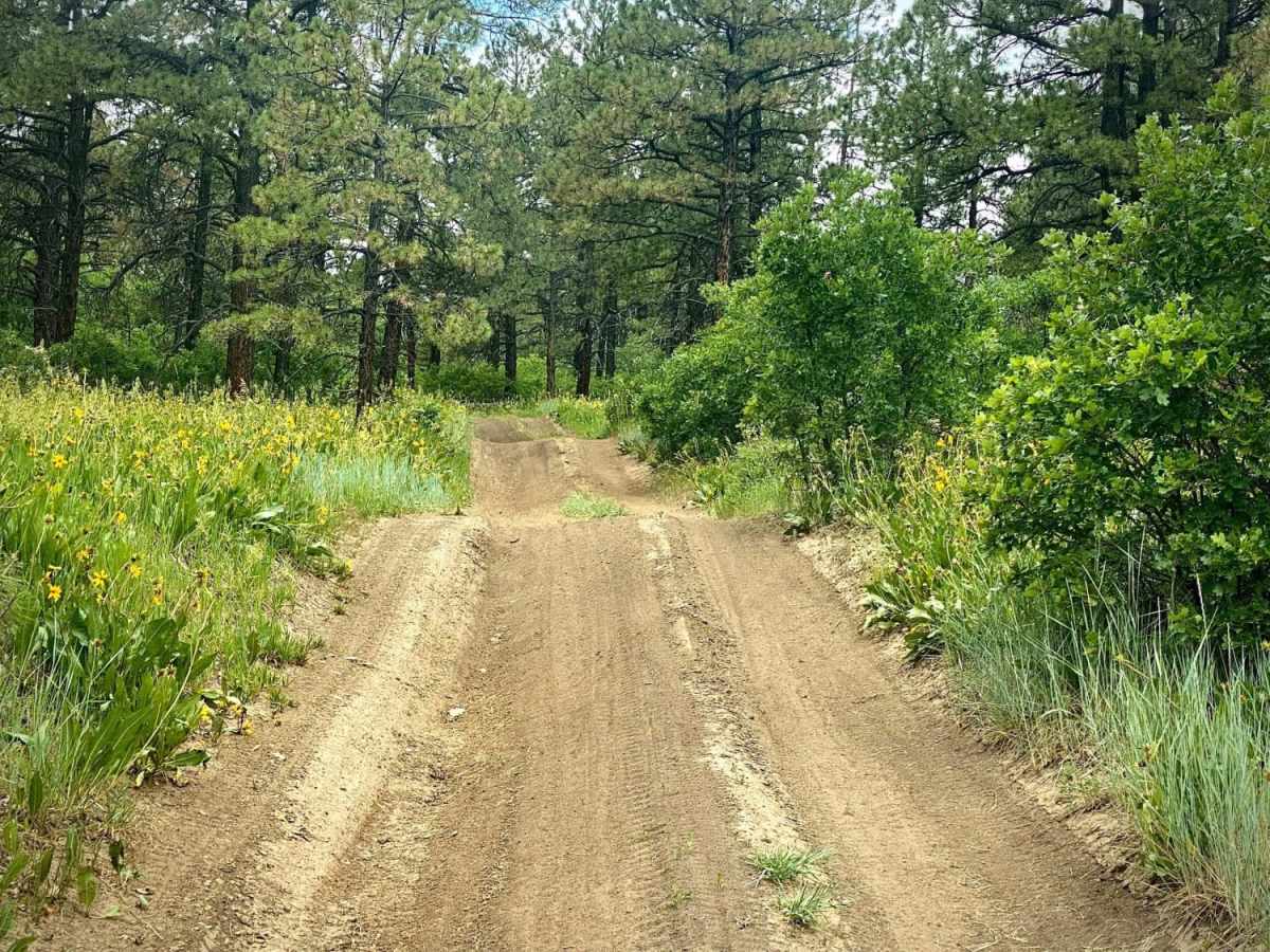
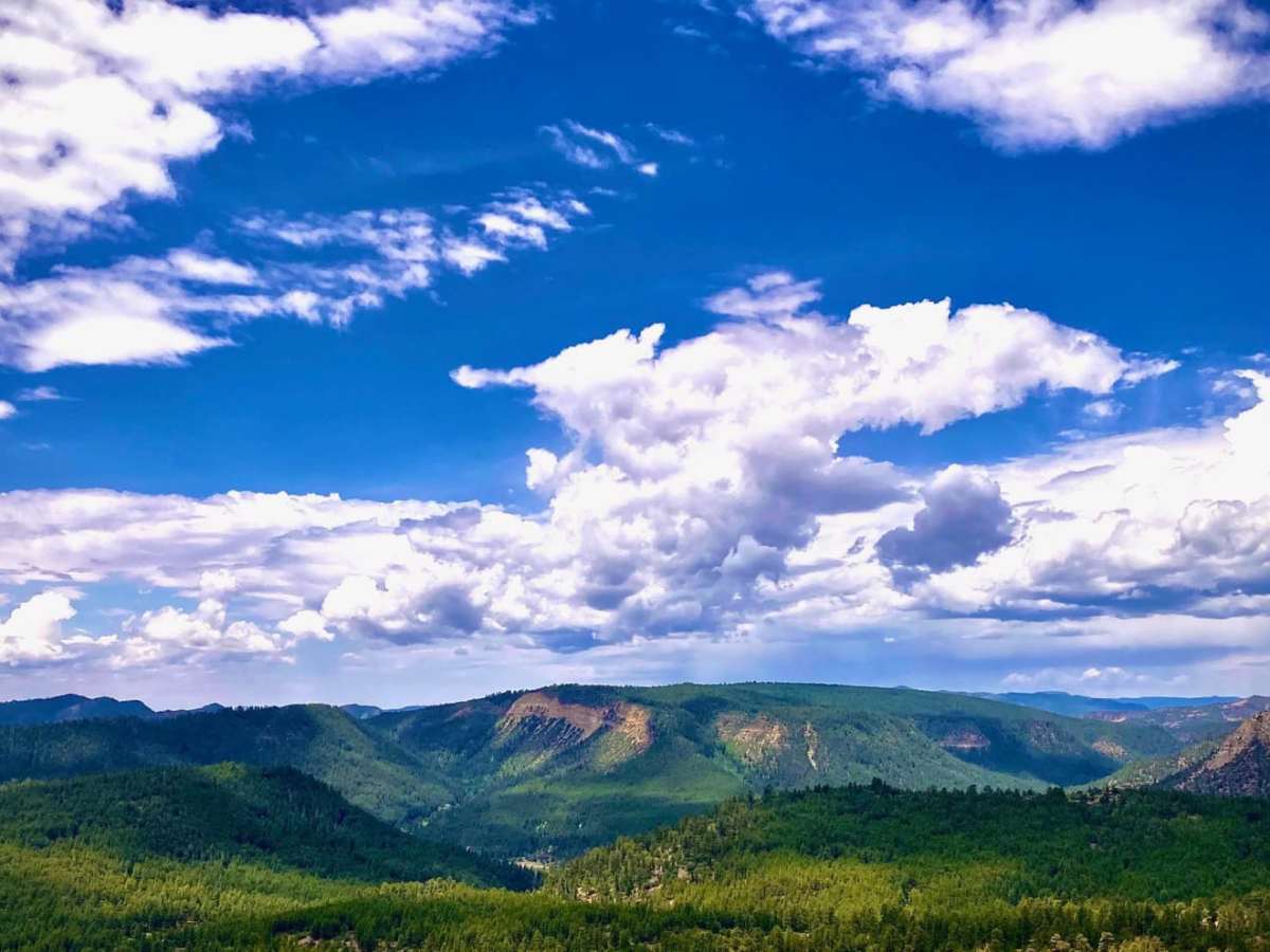
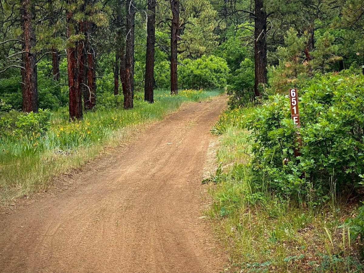
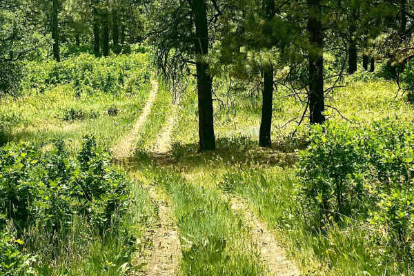
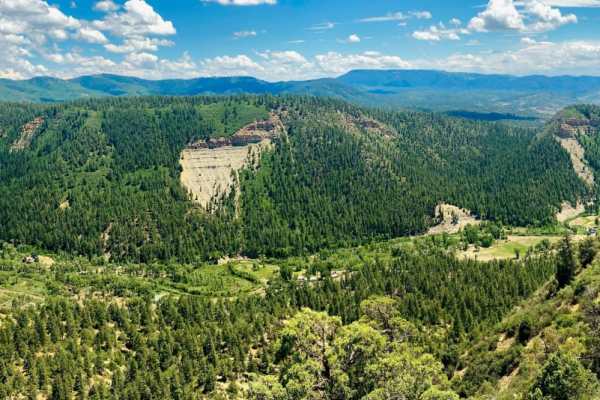
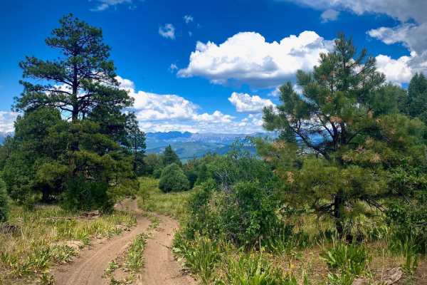
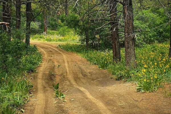
Eight Mile Mesa E (#651E) forks right with Eight Mile Mesa D (#651D) forking to the left at the end of the main Eight Mile Mesa Road, approximately 6.5 miles from the highway turnoff. This road goes through some large open meadows, which can be spectacular with wildflowers in season. At the very end of the road is a disturbed primitive campsite with views of both Blanco and San Juan River Basins and mountains in the background. There is weak cellular service depending upon trail location and provider here.

Photos of Eight Mile Mesa E-USFS Rd #651E

Difficulty

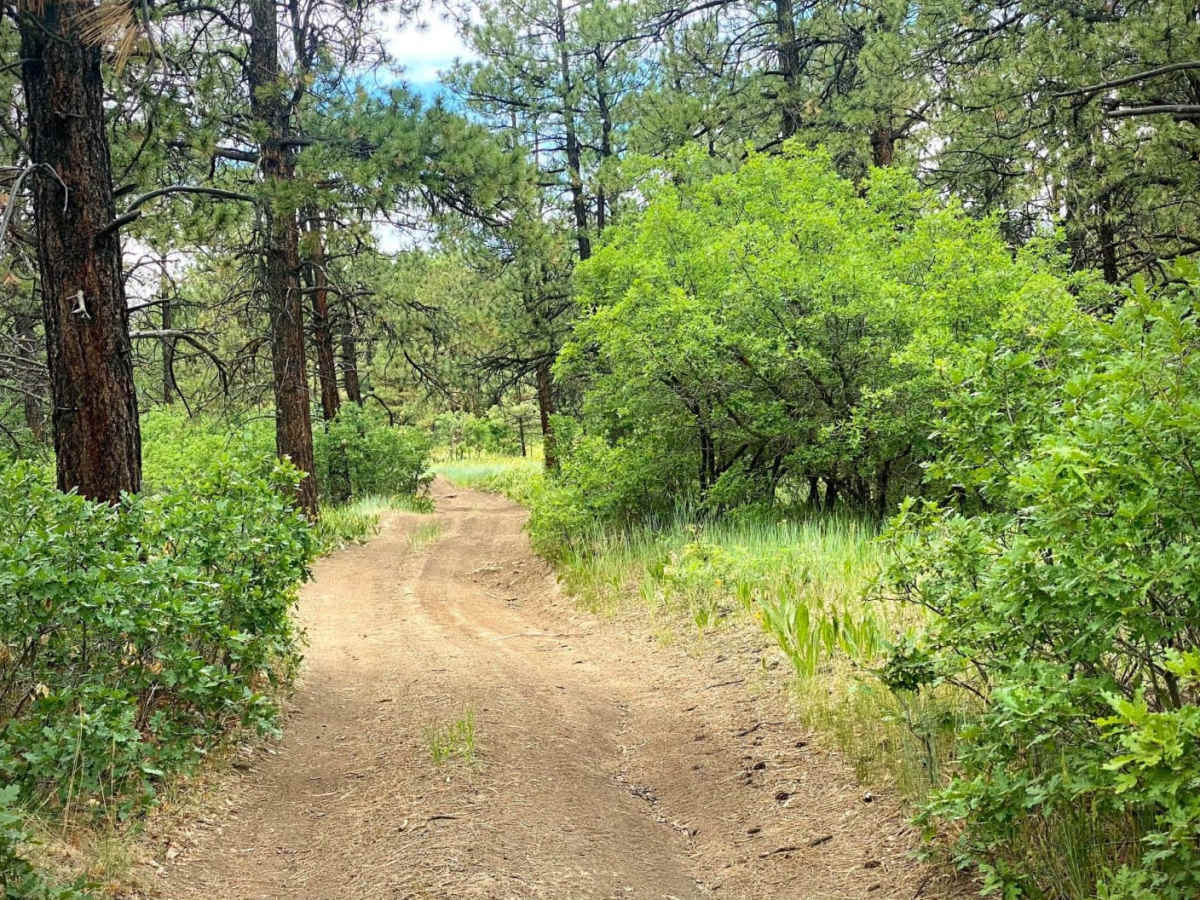
The road is a smooth dirt rutted road with no obstacles, one vehicle wide.

Technical Rating

2

Status Reports

Add Status Report
Elevation Nation
Jun 10, 2026
2022 Ford Bronco
Open
NormalDustyRough/Deteriorated
If you are not in high clearance 4x4 do not attempt the last section of this trail. Super rutted out and very tippy/angles and deeeep rut the very end . Would not suggest. But did in a bronco so can be done.

Eight Mile Mesa E-USFS Rd #651E Trail can be accessed by the following ride types:

  • Single Track
  • 50 Inch
  • 60 Inch
  • High Clearance
  • Full Width

Eight Mile Mesa E-USFS Rd #651E Map

The onX Offroad Difference

onX Offroad combines trail photos, descriptions, difficulty ratings, width restrictions, seasonality, and more in a user-friendly interface. Available on all devices, with offline access and full compatibility with CarPlay and Android Auto. Discover what you're missing today!

Open Trail Map