Eight Mile Mesa B-USFS Rd #651B

Total Miles0.9
Technical Rating
2Easy
Best TimeSpring, Summer, Fall
Trail TypeFull-Width Road
Accessible By
Open Trail Map

Trail Overview

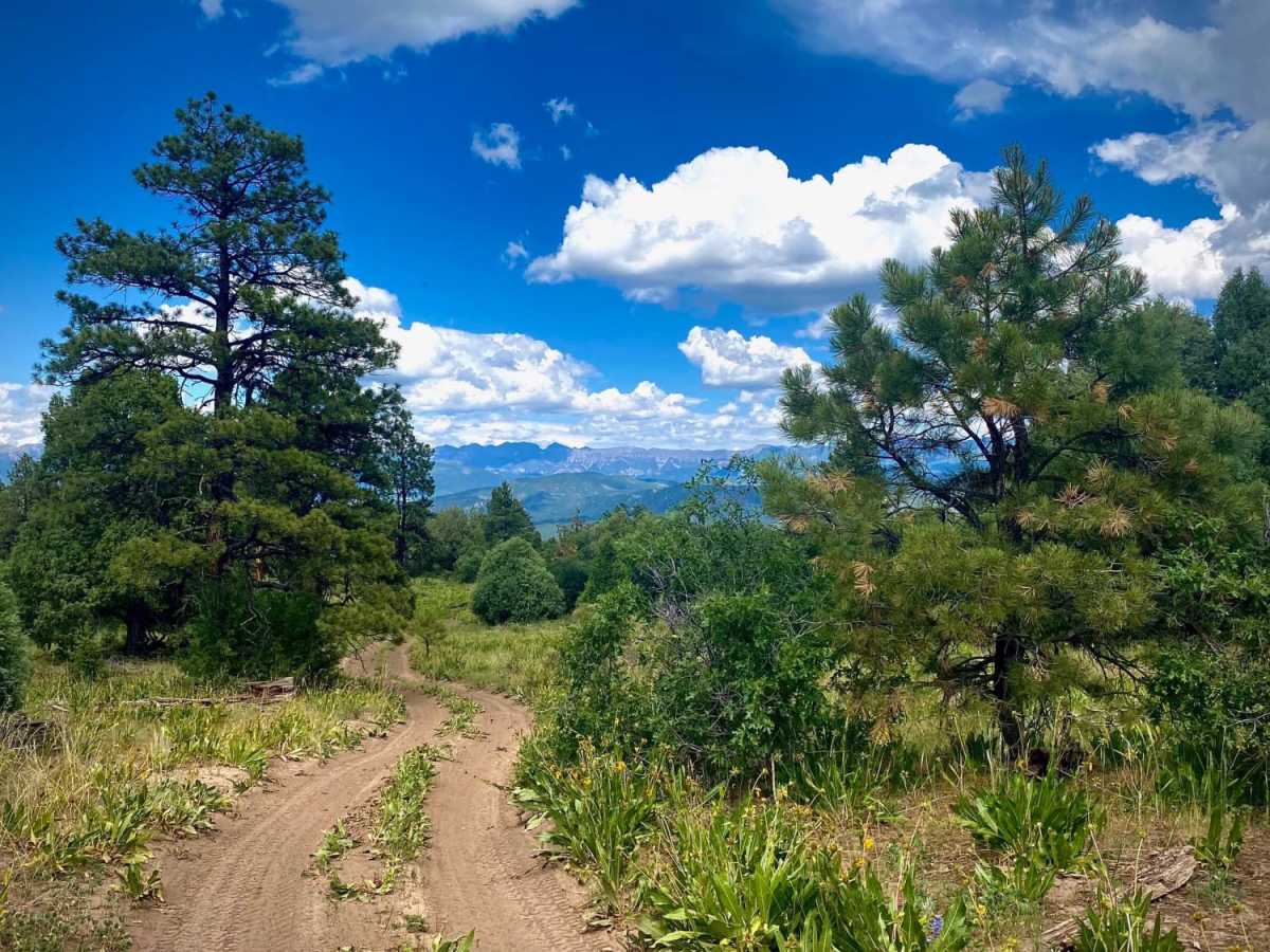
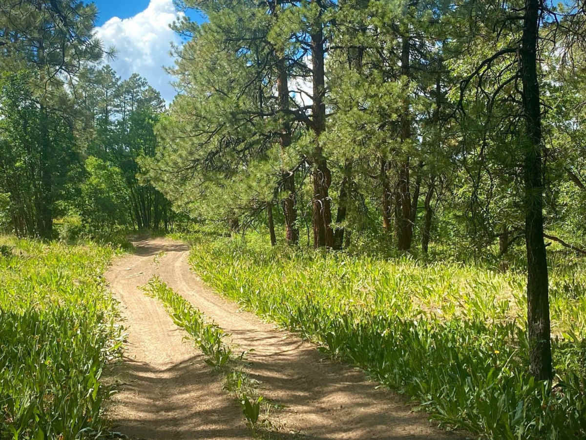
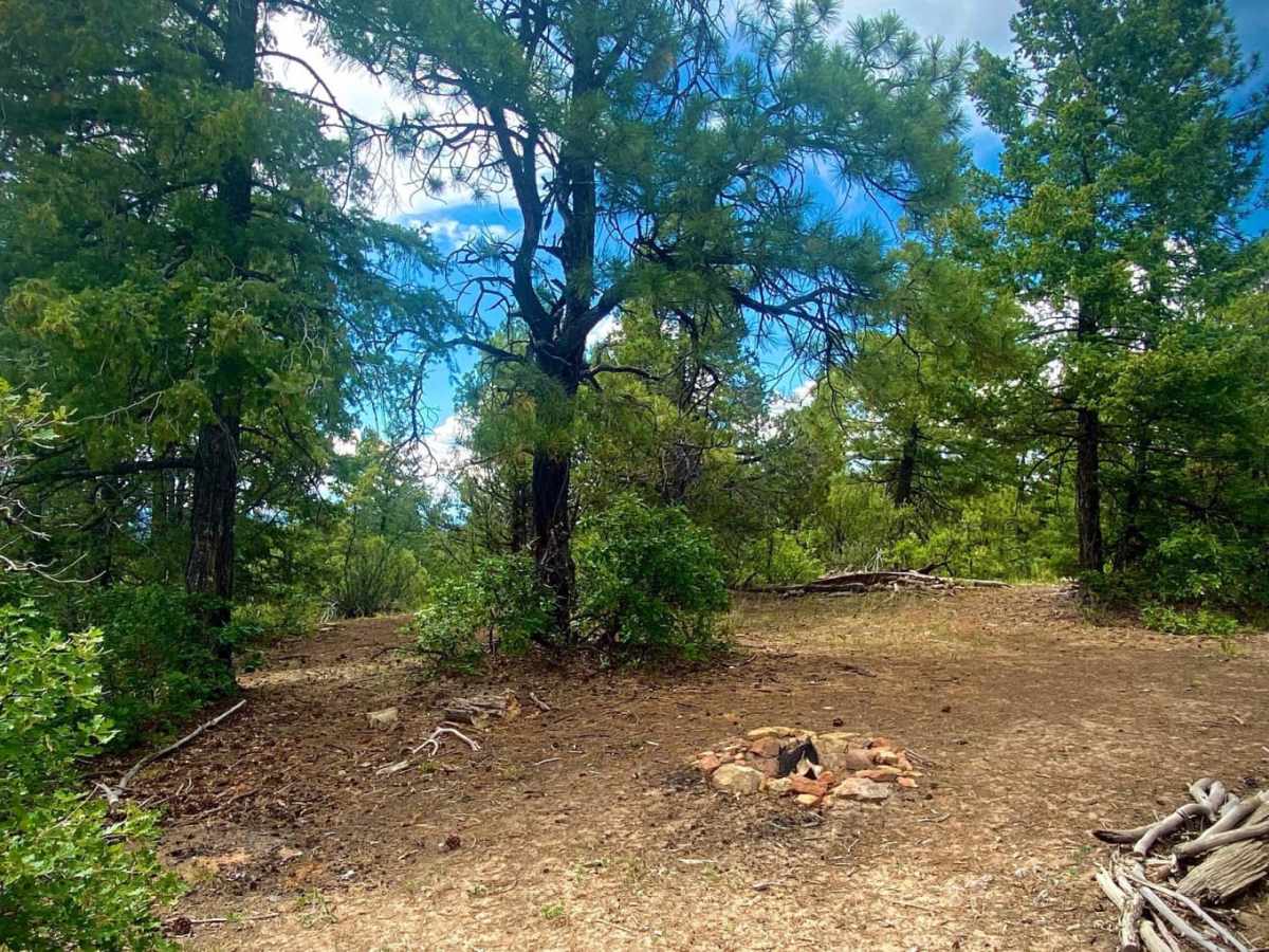
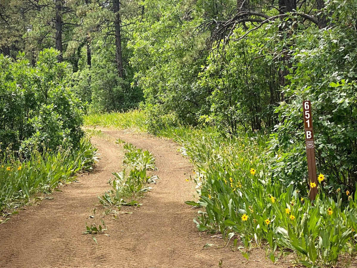
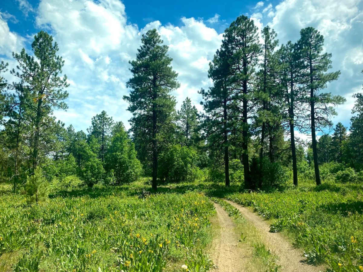
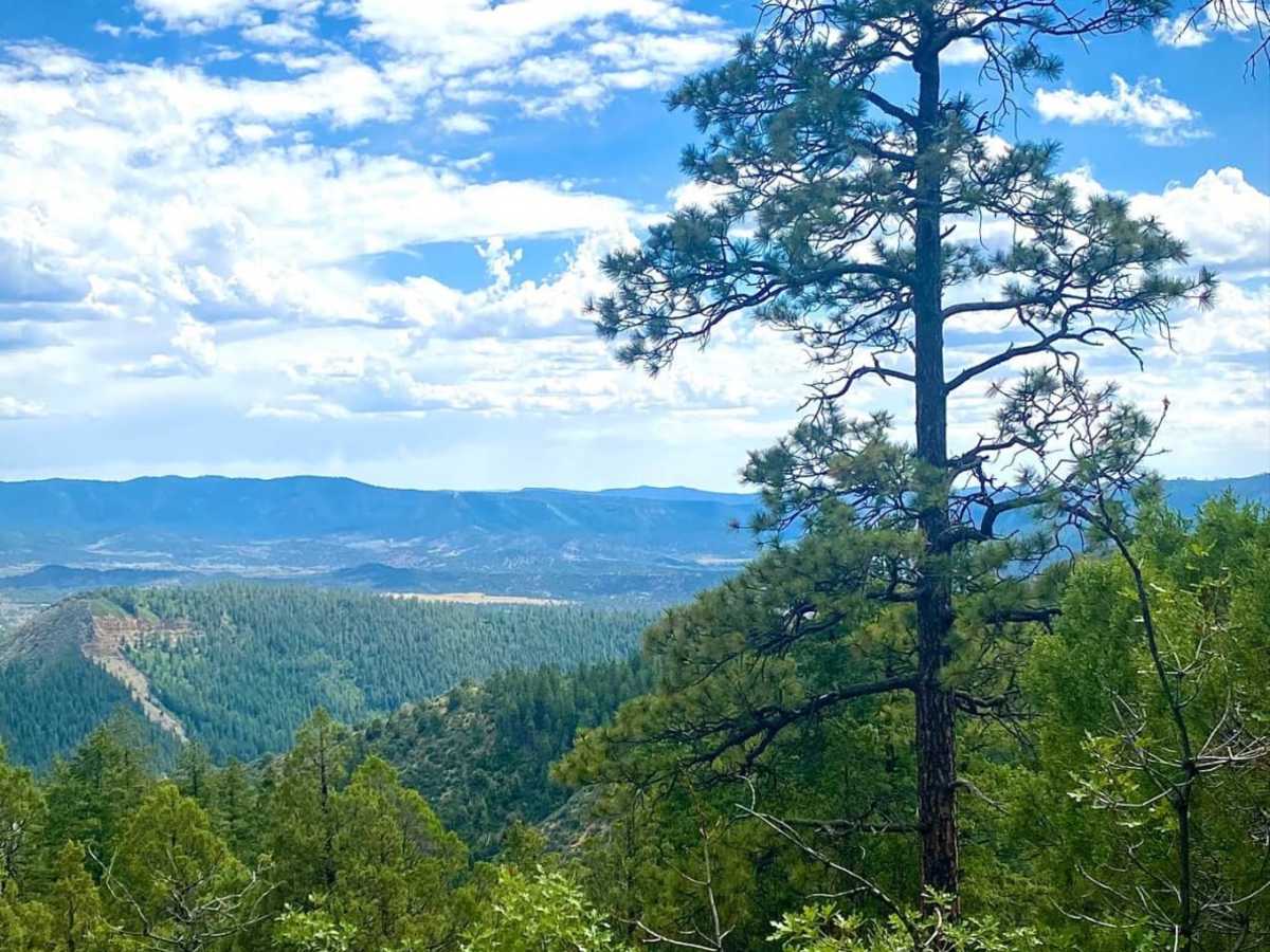
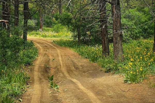
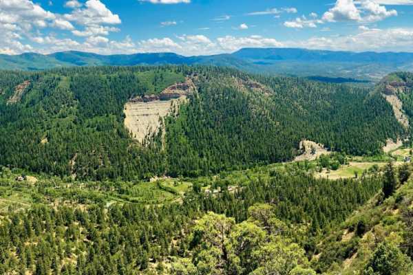
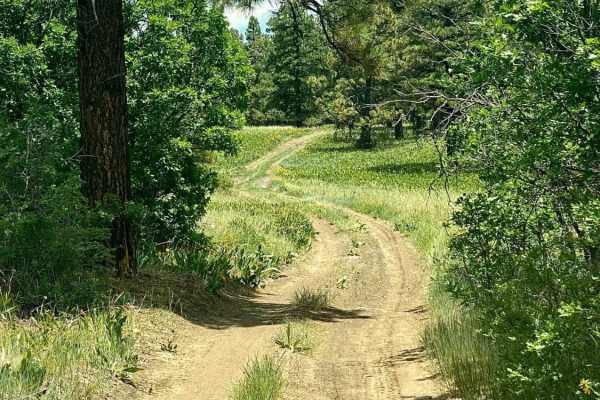
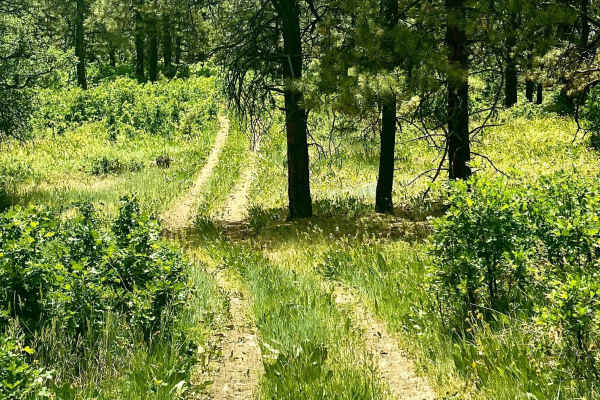
Eight Mile Mesa B (#651B) forks to the left off of the main road about half a mile from the first fork to the right for Eight Mile Mesa A. It's just under a mile long and an easy rut road with a few rocks and some dips through pine trees and meadows of wildflowers in the late spring and early summer. There are a couple disturbed primitive campsites along the road close to a gate, which should be left as found after passing. At the end of the road you will find a campsite with views of the Blanco River below and the San Juan Mountains to the East. In late spring/early summer, there are often plentiful wildflowers. There is weak cellular service depending upon trail location and provider here.

Photos of Eight Mile Mesa B-USFS Rd #651B

Difficulty

The road is a smooth dirt rutted road only one vehicle wide. Easy driving with no climbs.

Technical Rating

2

Eight Mile Mesa B-USFS Rd #651B Trail can be accessed by the following ride types:

  • Single Track
  • 60 Inch
  • High Clearance
  • Full Width

Eight Mile Mesa B-USFS Rd #651B Map

The onX Offroad Difference

onX Offroad combines trail photos, descriptions, difficulty ratings, width restrictions, seasonality, and more in a user-friendly interface. Available on all devices, with offline access and full compatibility with CarPlay and Android Auto. Discover what you're missing today!

Open Trail Map