
Dirt Bike Trails
Near Dufur, Oregon
Explore All Dirt Bike Trails Near Dufur, Oregon
Dirt Bike Trails Near Dufur, Oregon
Discover the best dirt bike trails near you. Browse trail maps, check difficulty ratings, and find your next adventure — whether you're looking for a quick ride or an all-day expedition.
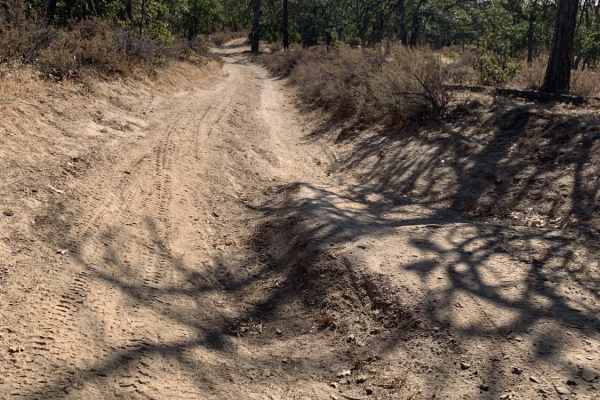
Little Badger Creek South Road
This is an adventurous dirt road that is not recommended for passenger cars. It would be fun for a Subaru or all-wheel drive vehicle with good tire placement. If conditions are wet, it would require true low-range four-wheel drive. There are several campsites off the main trail, Marywood Drive. The ...
Learn more about Little Badger Creek South Road
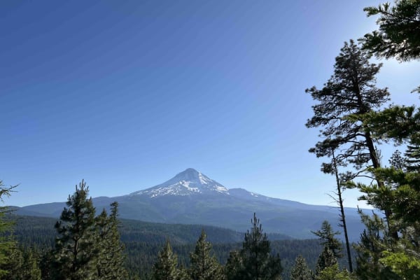
Long Prairie 17
Long Prairie 17 is a byway located in the 1.1-million-acre Mount Hood National Forest. Once you turn onto Long Prairie 17 it begins as pavement and then starts up the hill into gravel which is very bumpy with potholes. This route rides the ridge and parallels a popular hiking trail called Surveyors ...
Learn more about Long Prairie 17
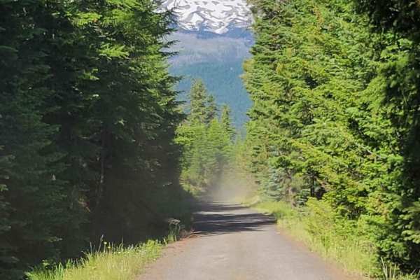
Lookout Mountain Road - FR 4410000
An easy dirt road that takes you through the Mt. Hood National Forest. It connects to several other trails in the area, and leads to a few trailheads for hiking and biking. The trail can get dusty behind other vehicles. Unmaintained in the winter months. Keep an eye open, and you'll catch glimpses o...
Learn more about Lookout Mountain Road - FR 4410000
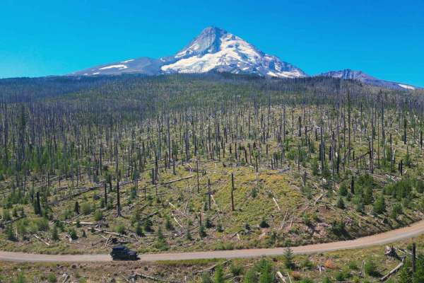
Cloud Cap Road
This trail is an irregular gravel road marked by large rocks, numerous potholes, and segments of profound dust which create the potential to get stuck. Its accessibility varies with the seasons and may be gated due to snowfall or fallen trees during winter. This route allows you to approach the Nort...
Learn more about Cloud Cap Road
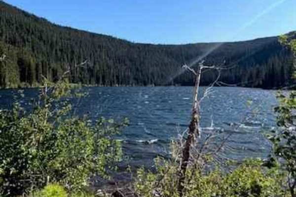
Badger Lake Via Bennett Pass
This route will lead you from Bennett Pass down into Badger Lake. After leaving Bennett Pass Road, you will be heading down a fairly steep grade on Forest Road 140. The road is a single track with some tight spaces that could pin stripe full-size rigs. Most high clearance vehicles will be able to ta...
Learn more about Badger Lake Via Bennett Pass
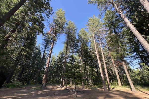
Rock Creek - 4811
Embark on this 15-mile journey through the eastern section of the 1.1-million-acre Mount Hood National Forest. You begin right off of Wamic Road which is paved. You start a steady climb up this washboard, pothole road where you will find beautiful scenic views of the Cascade Mountains and Tygh Valle...
Learn more about Rock Creek - 4811
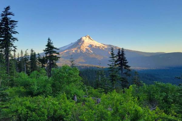
Bennett Pass 2
Bennett Pass is a popular seasonal Forest Service Road off Highway 35, along Mt. Hood's Eastern flank. It is open to vehicles from late spring (dependent on snowpack) to December 1st. When the trail was mapped in mid-July, there were still snow patches present in the shaded areas, in addition to mud...
Learn more about Bennett Pass 2
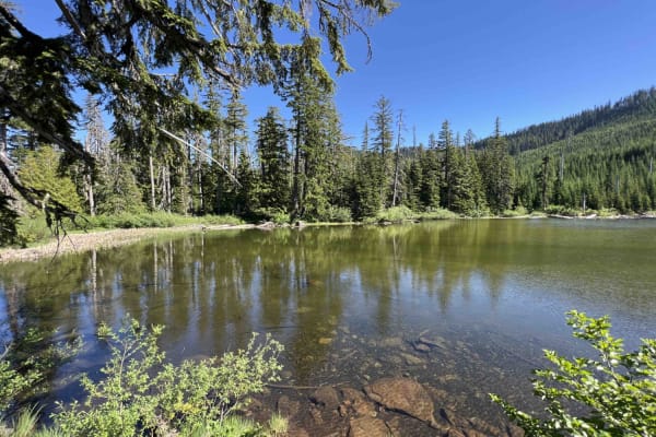
Green Point - 2810
Green Point - 2810 is a beautiful scenic drive through the Mount Hood National Forest in Northwest Oregon. This road is mainly gravel however there are areas where large boulders and rocks have come on the road and you have to swerve to avoid them as well as large trees lying over the road. Going up...
Learn more about Green Point - 2810
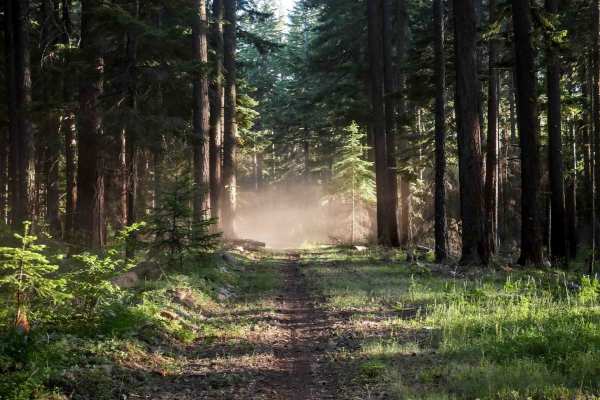
587
Trail 587 is a short trail under half a mile long that descends from 596, starting easy and widening through forested areas. The north end features downed logs near the entrance to a burn area, which could significantly increase the difficulty. The trail passes through scenic Douglas fir forests and...
Learn more about 587
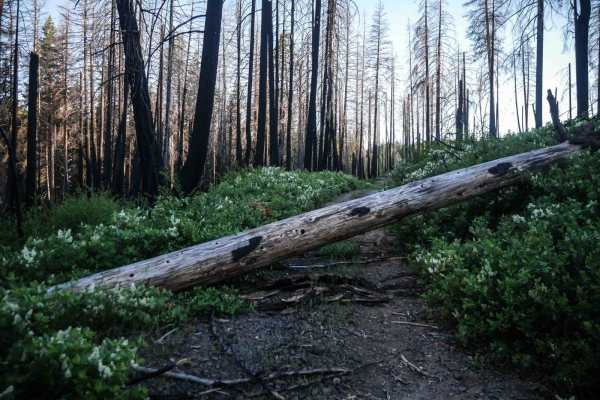
586
Trail 586 has narrow, primitive, and less-maintained sections of trail, and numerous downed logs, including some very large logs requiring reroutes or riding over. Portions range from narrow trail resembling more of a singletrack, with loose rocks and sharp curves, to wider gravel road segments. The...
Learn more about 586
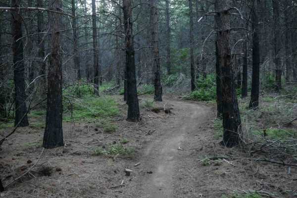
592
The east end of Trail 592 starts as a wide, gravelly road along the edge of a burn area, then narrows into a curvy two-track with small climbs on loose dirt and rocks. While some sections are narrow between the bushes with small embedded roots, the trail remains mostly smooth and easy. Several unmar...
Learn more about 592
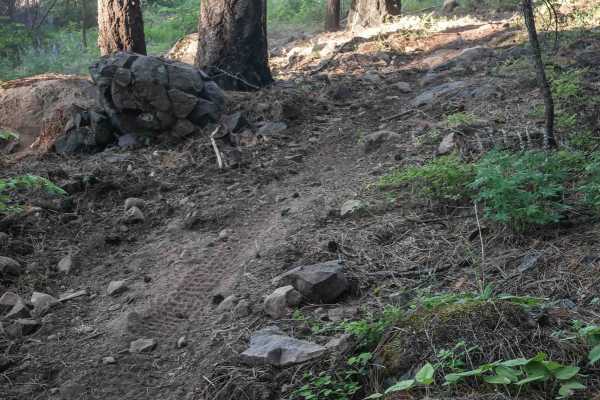
596
Trail 596 begins as a narrow descent from 586, more like a single-track, offering an easy, smooth forest trail with potential downed logs. After intersecting with 587, the trail heads west with several small climbs featuring loose and embedded rocks. At 0.7 miles long, it remains narrow and primitiv...
Learn more about 596
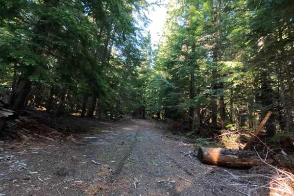
Klingers Camp Road - FS 3530240
Branching directly off the historic Barlow Trail, Klingers Camp Road - FS 3530240 is a very short, deeply immersive 0.5-mile backcountry excursion into the dense, vibrant woods. This highly secluded, single-lane dirt and gravel track acts essentially as a lush, living tree tunnel, enveloping vehicle...
Learn more about Klingers Camp Road - FS 3530240
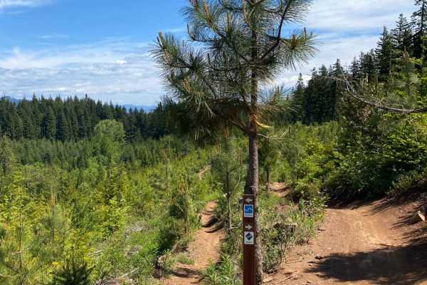
Hood River OHV 160 to 140 to 133
This is a loop of connecting trails in the Hood River OHV Park. There are lots more trails to come from this park. The system has some quad trails and a lot of single track. You will find a lot of Mountain bikers riding these trails as well. Some of the trails in the system are for non-motorized bik...
Learn more about Hood River OHV 160 to 140 to 133
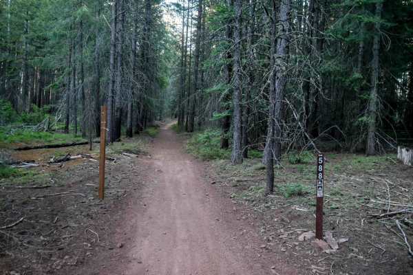
588
Trail 588 is a 0.6-mile trail starting as a wide two-track through woods with gentle curves and straight sections. Previously cut logs allow for easy passage, and the trail crosses 592. Beginning on 576E and ending on National Forest Road 26, it serves as a straightforward connector within the trail...
Learn more about 588
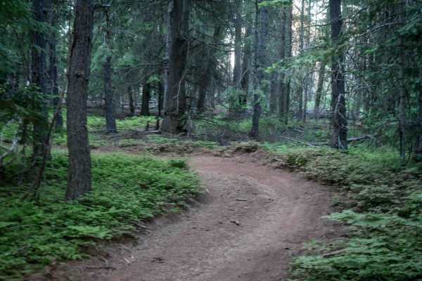
576E
Trail 576E is a short connector trail branching off from 592, beginning as a small wooded two-track segment before opening to a wide, smooth gravel road with no obstacles. It links the 576B loop to National Forest road 2110, starting the route back to the staging area and campground.
Learn more about 576E
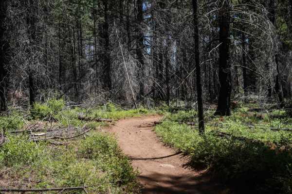
576A
Trail 576A is a 1.4-mile easy two-track winding through forested terrain with a mostly gradual profile and a few small hills. The surface is generally smooth with scattered loose rock, and the trail features tight, winding sections early on before straightening out near its intersection with Trail 5...
Learn more about 576A
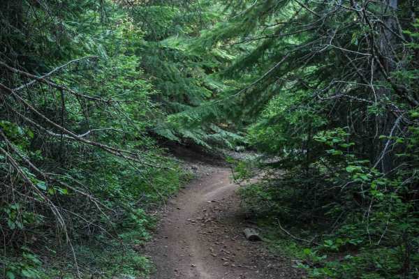
576D
Trail 576D is a short connector route, under half a mile long, linking trails 576A and 576. This narrow two-track trail runs through dense woods with numerous sharp curves and windy sections. The surface is mostly smooth dirt with no obstacles and only a few rocks, offering a very easy passage, alth...
Learn more about 576D
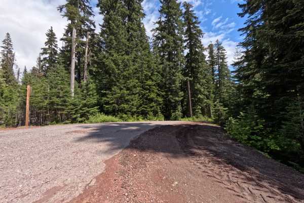
Barlow Butte Road - FS 3560
Turning off Highway 35, the unmarked entrance to Barlow Butte Road (FS 3560) drops you onto a smooth, single-lane gravel track through dense pine forest. Early on, you'll find some brush creeping into the driving corridor, but the road stays easy to follow. About halfway through the 3.5-mile run, yo...
Learn more about Barlow Butte Road - FS 3560
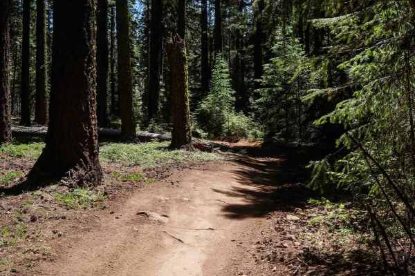
576C
Trail 576C is a continuation of the main two-track route from Trail 576, offering an overall easy ride through wooded terrain. It features smooth dirt sections with tight, winding curves, and occasional patches of loose and embedded rock. The trail maintains a gradual profile throughout and passes t...
Learn more about 576C
ATV trails near Dufur, Oregon
Explore ATV-friendly trails near you. These trails are accessible for vehicles up to 50 inches wide, perfect for ATVs and smaller off-road machines.
Little Badger Creek South Road
This is an adventurous dirt road that is not recommended for passenger cars. It would be fun for a Subaru or all-wheel drive vehicle with good tire placement. If conditions are wet, it would require true low-range four-wheel drive. There are several campsites off the main trail, Marywood Drive. The ...
Learn more about Little Badger Creek South Road
Long Prairie 17
Long Prairie 17 is a byway located in the 1.1-million-acre Mount Hood National Forest. Once you turn onto Long Prairie 17 it begins as pavement and then starts up the hill into gravel which is very bumpy with potholes. This route rides the ridge and parallels a popular hiking trail called Surveyors ...
Learn more about Long Prairie 17
Lookout Mountain Road - FR 4410000
An easy dirt road that takes you through the Mt. Hood National Forest. It connects to several other trails in the area, and leads to a few trailheads for hiking and biking. The trail can get dusty behind other vehicles. Unmaintained in the winter months. Keep an eye open, and you'll catch glimpses o...
Learn more about Lookout Mountain Road - FR 4410000
Cloud Cap Road
This trail is an irregular gravel road marked by large rocks, numerous potholes, and segments of profound dust which create the potential to get stuck. Its accessibility varies with the seasons and may be gated due to snowfall or fallen trees during winter. This route allows you to approach the Nort...
Learn more about Cloud Cap Road
UTV/side-by-side trails near Dufur, Oregon
Find UTV and side-by-side trails near you. These trails accommodate vehicles up to 60 inches wide, ideal for UTVs, side-by-sides, and wider off-road rigs.
Little Badger Creek South Road
This is an adventurous dirt road that is not recommended for passenger cars. It would be fun for a Subaru or all-wheel drive vehicle with good tire placement. If conditions are wet, it would require true low-range four-wheel drive. There are several campsites off the main trail, Marywood Drive. The ...
Learn more about Little Badger Creek South Road
Long Prairie 17
Long Prairie 17 is a byway located in the 1.1-million-acre Mount Hood National Forest. Once you turn onto Long Prairie 17 it begins as pavement and then starts up the hill into gravel which is very bumpy with potholes. This route rides the ridge and parallels a popular hiking trail called Surveyors ...
Learn more about Long Prairie 17
Lookout Mountain Road - FR 4410000
An easy dirt road that takes you through the Mt. Hood National Forest. It connects to several other trails in the area, and leads to a few trailheads for hiking and biking. The trail can get dusty behind other vehicles. Unmaintained in the winter months. Keep an eye open, and you'll catch glimpses o...
Learn more about Lookout Mountain Road - FR 4410000
Cloud Cap Road
This trail is an irregular gravel road marked by large rocks, numerous potholes, and segments of profound dust which create the potential to get stuck. Its accessibility varies with the seasons and may be gated due to snowfall or fallen trees during winter. This route allows you to approach the Nort...
Learn more about Cloud Cap Road
The onX Offroad Difference
onX Offroad combines trail photos, descriptions, difficulty ratings, width restrictions, seasonality, and more in a user-friendly interface. Available on all devices, with offline access and full compatibility with CarPlay and Android Auto. Discover what you're missing today!
Open Trail Map