Trail Overview
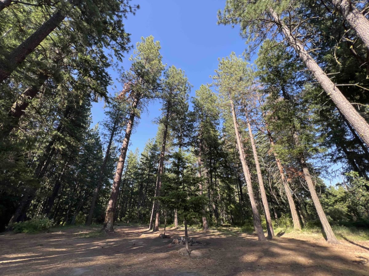
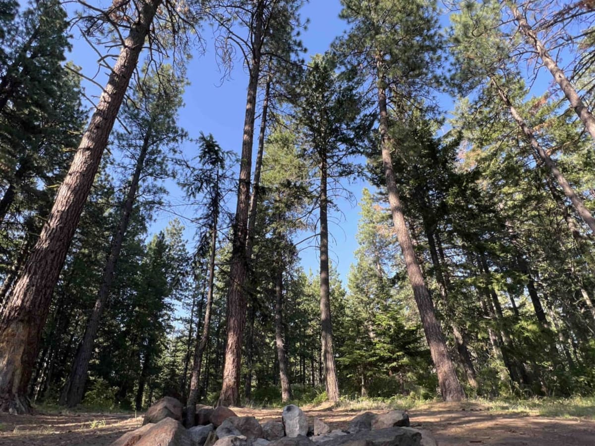
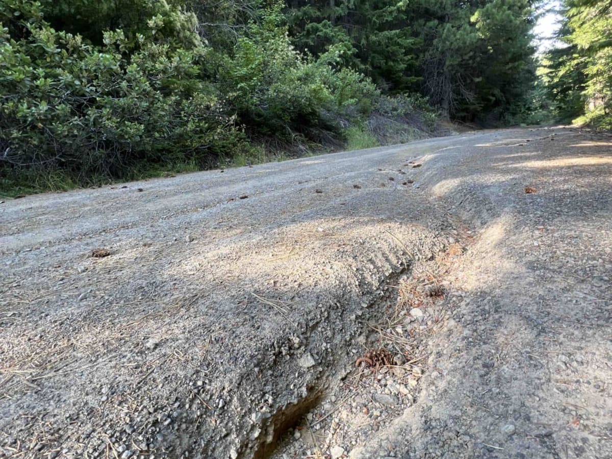
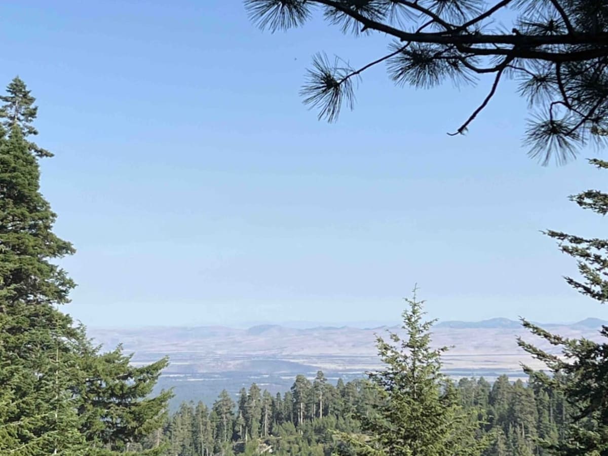
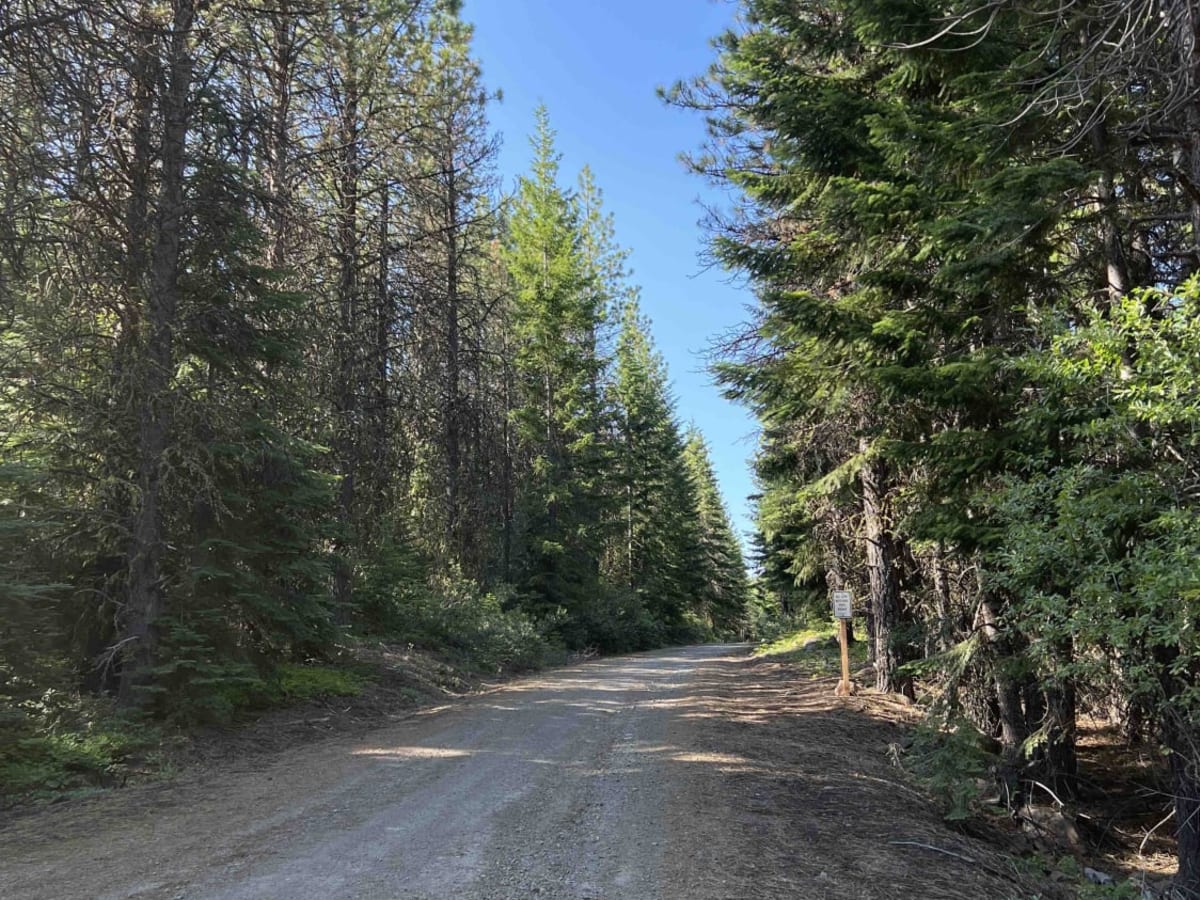
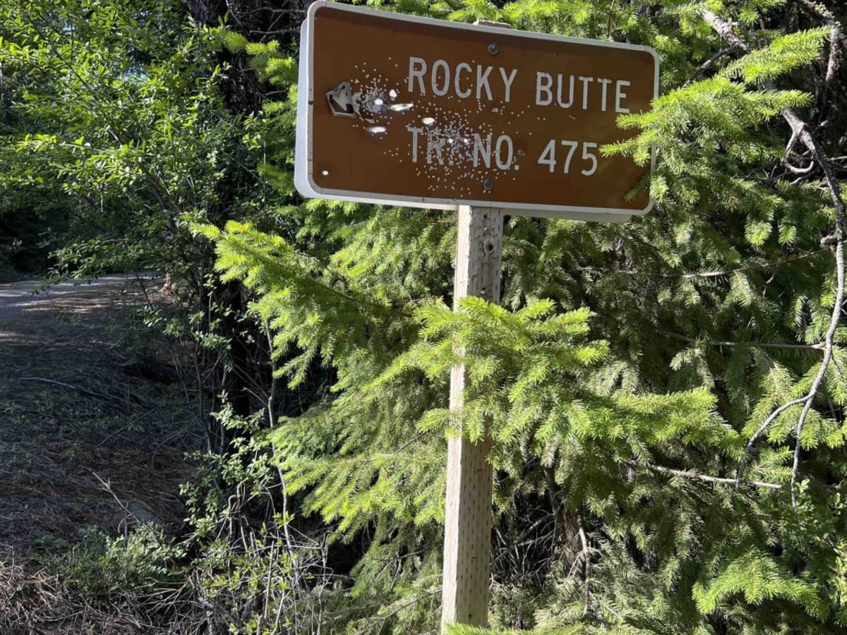
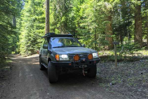
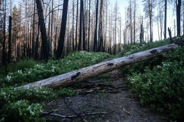
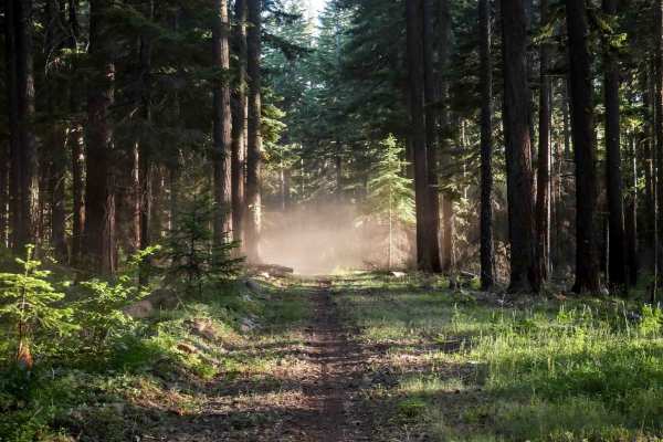
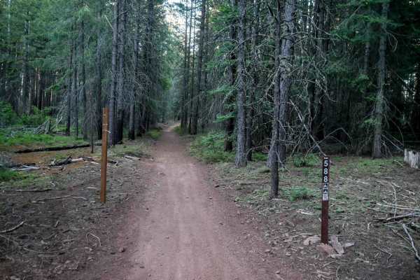
Embark on this 15-mile journey through the eastern section of the 1.1-million-acre Mount Hood National Forest. You begin right off of Wamic Road which is paved. You start a steady climb up this washboard, pothole road where you will find beautiful scenic views of the Cascade Mountains and Tygh Valley. This is an OHV area and the start of one of the trails is 3.5 miles up the road. Rock Creek 925 is an OHV/hiking trail. There are signs that denote that the area is for OHV and that there is no shooting allowed. Continuing down the road you come to the Rock Creek trail system which has several hiking trails however it does state that they are non-motorized. This road does have some washed-out sections which were caused by flash flooding. There is a nice big campsite with cell service right off the trail, however, they are primitive sites with no running water or restrooms. The eastern side of the MHNF is going to have more ponderosa pine, black cottonwood, and western red cedar. Wildflowers like Indian Paintbrush, lupine, and bear grasses line these roads and offer a vibrant changing color on the drive. Deer, elk, spotted owl, cougar, and bobcat are some of the wildlife that can be seen. This area is best if visited in late spring, summer, and early fall as the snow comes in late fall and makes this area inaccessible for wheeled vehicles.
Difficulty
Due to the washboard, washed-out sections, steep grades, and big potholes this road isn't recommended for any low clearance vehicle.