
Dirt Bike Trails
Near Dubois, Wyoming
Explore All Dirt Bike Trails Near Dubois, Wyoming
Dirt Bike Trails Near Dubois, Wyoming
Discover the best dirt bike trails near you. Browse trail maps, check difficulty ratings, and find your next adventure — whether you're looking for a quick ride or an all-day expedition.
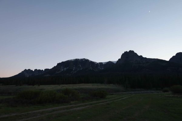
Wiggins Fork
When navigating this Forest Service road, you will find it mostly easy with views of rolling meadows to start. But the further you go, the terrain changes from a maintained dirt road to one that has small ruts, switchbacks, and rocks--nothing any 4WD or AWD vehicle can't get through. Along with the ...
Learn more about Wiggins Fork
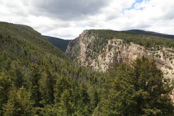
554 Wildcat and 528 Geyser Creek
Once you are on the 554 Trail you will need to go through a gate (just lock it when you go through). There are plenty of signs pointing you to the many trails so just keep an eye out at every junction point. 554 will go in a westerly direction until the junction point for 528. Follow 528 southerl...
Learn more about 554 Wildcat and 528 Geyser Creek
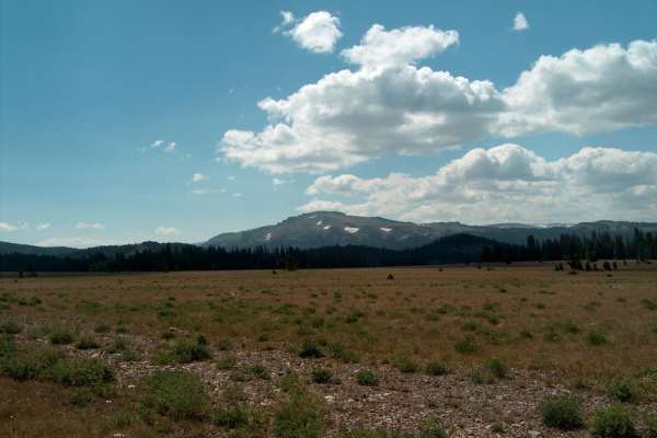
Moon Lake
This rough track leads to a remote lake on the northern side of the Wind River Range. The driving gets progressively more challenging the closer you get to the lake. The adventure begins by crossing the high meadows of the Continental Divide. Halfway in, Union Peak (11,491) and its small glaciers be...
Learn more about Moon Lake
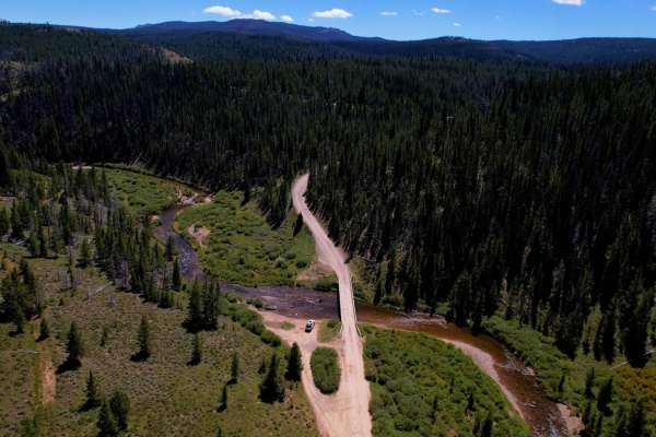
Union Pass
Union Pass is an easy, well-graded forest road that takes you from the pass all the way down to the Green River. At over 9,000 feet, you'll find yourself in a bowl surrounded by beautiful vistas, meadows, and lakes. The road is super easy and most vehicles can travel without issue. There are several...
Learn more about Union Pass
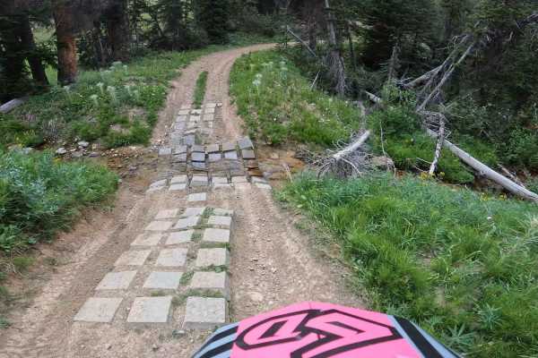
South Fork Ridge (MT13)
This is an easy-going ATV/dirt bike trail. There are a few water crossings, with man-made cinder blocks and potential large mudholes in spring. This trail has fun, small, little kickers and swooping turns, it almost feels like riding a mini dirt bike track. Small cc bikes and quad friendly. Since th...
Learn more about South Fork Ridge (MT13)
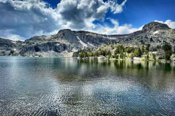
Granite Lake Trail
Granite Lake, In mid-summer, it's a very refreshing way to cool off. There is a hiking trail around the lake. If you plan to ride down the trail, tread lightly and leave no trace. This route is for 50 inches or less. Is fairly steep with loose sand, lots of roots, and rocks. Bring sunscreen, food, a...
Learn more about Granite Lake Trail
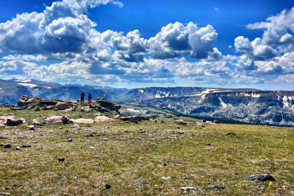
Seven Lakes Trails
This trail has the most amazing views of the Wind River Range. You will encounter a few water crossings, even in August. Be prepared to bring warmer gear, it becomes much colder and windier as you reach higher elevations, even in summer. Bring sunscreen, food, and extra H20, take your time, and enjo...
Learn more about Seven Lakes Trails
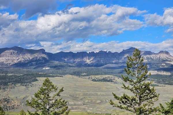
Long Creek Trail
Long Creek Trail is an often overlooked trail that gives you access to broad views of the Absaroka Mountain Range. This trail starts with a steep climb up the mountain right off the main highway. Eventually, it turns and reveals a beautiful valley and meadow. There are cute cabins dotting the valley...
Learn more about Long Creek Trail
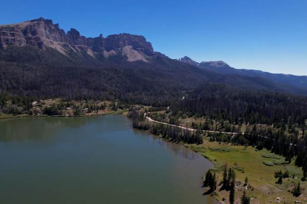
Brooks Lake
This trail toward Brooks Lake is a wide 2-lane graded road meant for all vehicles. Brooks Lake is an incredible alpine lake with world-class fishing, hiking, camping, and stunning views. Also, the historic Brooks Lake Lodge is a world-class lodge and spa. The Brooks Lake Lodge is open year-round. Th...
Learn more about Brooks Lake
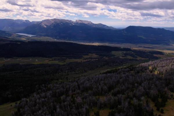
Grind up Pinon Pass
This is a fun, mid-level, technical trail that goes from the Green River all the way to the top of Gun Sight Pass, offering 360-degree views of the Wind River, Absarokas, and Grand Tetons Mountain ranges. Taking the trail from the Green River (south) you'll climb out of the river navigating deep mud...
Learn more about Grind up Pinon Pass
Two Ocean Basin Trail
Two Ocean Basin (FS Road 30010) is a solid choice for experienced drivers looking for a remote, moderate route through the Bridger-Teton backcountry, with a focus on navigation and changing surface conditions rather than technical rock work. Accessed from US-26 in the Blackrock Ranger District, this...
Learn more about Two Ocean Basin Trail
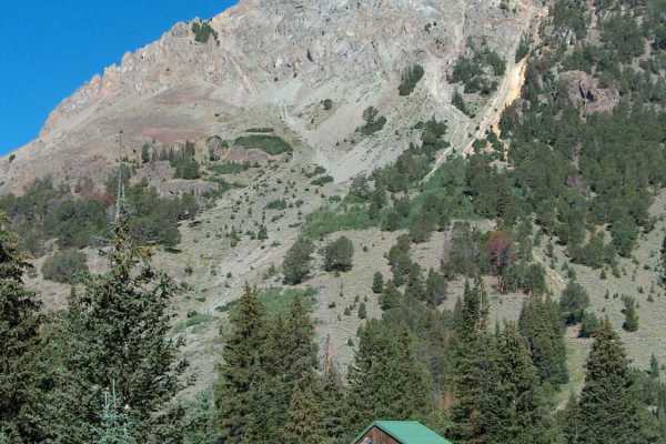
Kirwin
This exciting and beautiful route runs deep into the Absaroka Range to reach Kirwin, a deserted Wyoming ghost town. Before you get there, you'll pass Lower Sunshine Reservoir, verdant pastures, a Forest Service guard station, and a pair of public campgrounds. Within the Shoshone National Forest, the...
Learn more about Kirwin
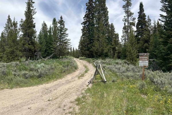
Baldy Mountain Lookout
Forestry Road 30051 is located just east of Grand Teton National Park. This is an easy out-and-back trail, mostly dirt with some gravel and occasional medium-sized boulders in the soil. The short trip takes you through beautiful tundra covered with Sage and flowers of every kind. Mule deer and other...
Learn more about Baldy Mountain Lookout
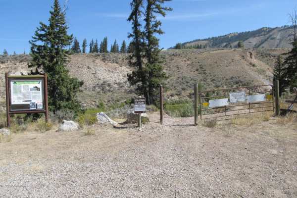
Slate Creek/Dry Dallas
The Slate Creek/Dry Dallas OHV Trail System is a premier loop for ATVs, SxSs, and dirt bikes seeking a scenic mountain escape east of Grand Teton National Park. This route winds through flourishing creek bottoms and climbs over high passes, offering riders an immersive experience in western Wyoming'...
Learn more about Slate Creek/Dry Dallas
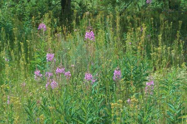
Flagstaff
This beautiful backcountry drive explores the mountains east of Grand Teton National Park that are known as the Mount Leidy Highlands. The main trunk road takes you uphill to an overlook of the Tetons, passes Lily Lake, and descends back toward HWY 26/287 where you'll find broad meadows filled with ...
Learn more about Flagstaff
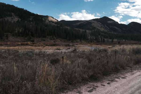
Cliff Creek - 30530
The trail has beautiful views and is an easy entrance to several hiking, mountain biking, and horse trails in the forest. The road is smooth dirt with mud possible during wet seasons. A few areas are steep or may have very minor water on the road after rain. The trail has a significant number of gre...
Learn more about Cliff Creek - 30530
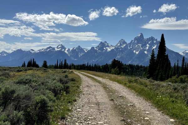
Lost Creek Ranch Road
Lost Creek Ranch Road connects Topping Lake Trail Loop and Shadow Mountain Trail in the beautiful Grand Teton NP. The majority of the road is sand, some areas are gravel, and some areas have up to 18" deep washouts. The trail runs parallel to Highway 26 and offers breathtaking views. Grand Teton Nat...
Learn more about Lost Creek Ranch Road
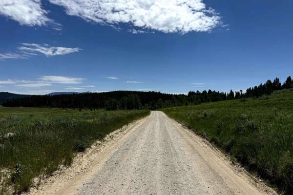
Two Ocean Lake Rd
Two Ocean Lake Rd takes you to the Two Ocean Lake Campground, the lake, the trailhead and a boat ramp in the beautiful Grand Teton NP. The majority of the road is gravel, easy to drive. The restroom at the end of the street is a compost toilet. There's no water.Grand Teton National Park is in the no...
Learn more about Two Ocean Lake Rd
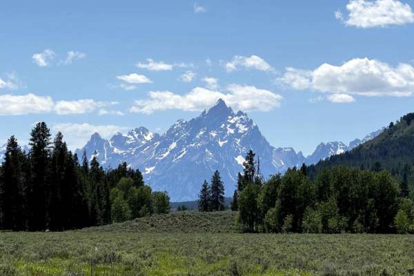
Pacific Creek Wilderness Road
Pacific Creek Wilderness Road takes you to the Pacific Creek Campground and the Pacific Creek Trailhead in the beautiful Grand Teton NP. The majority of the road is gravel and easy to drive. It goes along the Creek and offers breathtaking views. Grand Teton National Park is in the northwest of the U...
Learn more about Pacific Creek Wilderness Road
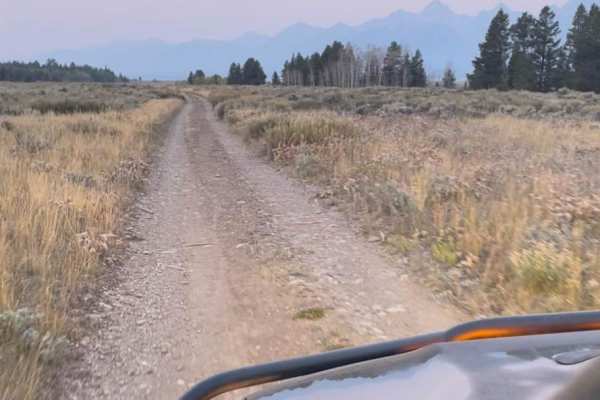
Shadow Mountain
This is one trail you don't want to miss. If you're in the area to find epic views of the Grand Tetons and free camp spots, then this trail is for you! The trail is not hard, you can do the whole thing in 2WD. Unless there are heavy rains, in which case you will need 4WD. It's a big climb up the mou...
Learn more about Shadow Mountain
ATV trails near Dubois, Wyoming
Explore ATV-friendly trails near you. These trails are accessible for vehicles up to 50 inches wide, perfect for ATVs and smaller off-road machines.
Wiggins Fork
When navigating this Forest Service road, you will find it mostly easy with views of rolling meadows to start. But the further you go, the terrain changes from a maintained dirt road to one that has small ruts, switchbacks, and rocks--nothing any 4WD or AWD vehicle can't get through. Along with the ...
Learn more about Wiggins Fork
554 Wildcat and 528 Geyser Creek
Once you are on the 554 Trail you will need to go through a gate (just lock it when you go through). There are plenty of signs pointing you to the many trails so just keep an eye out at every junction point. 554 will go in a westerly direction until the junction point for 528. Follow 528 southerl...
Learn more about 554 Wildcat and 528 Geyser Creek
Moon Lake
This rough track leads to a remote lake on the northern side of the Wind River Range. The driving gets progressively more challenging the closer you get to the lake. The adventure begins by crossing the high meadows of the Continental Divide. Halfway in, Union Peak (11,491) and its small glaciers be...
Learn more about Moon Lake
Union Pass
Union Pass is an easy, well-graded forest road that takes you from the pass all the way down to the Green River. At over 9,000 feet, you'll find yourself in a bowl surrounded by beautiful vistas, meadows, and lakes. The road is super easy and most vehicles can travel without issue. There are several...
Learn more about Union Pass
UTV/side-by-side trails near Dubois, Wyoming
Find UTV and side-by-side trails near you. These trails accommodate vehicles up to 60 inches wide, ideal for UTVs, side-by-sides, and wider off-road rigs.
Wiggins Fork
When navigating this Forest Service road, you will find it mostly easy with views of rolling meadows to start. But the further you go, the terrain changes from a maintained dirt road to one that has small ruts, switchbacks, and rocks--nothing any 4WD or AWD vehicle can't get through. Along with the ...
Learn more about Wiggins Fork
554 Wildcat and 528 Geyser Creek
Once you are on the 554 Trail you will need to go through a gate (just lock it when you go through). There are plenty of signs pointing you to the many trails so just keep an eye out at every junction point. 554 will go in a westerly direction until the junction point for 528. Follow 528 southerl...
Learn more about 554 Wildcat and 528 Geyser Creek
Moon Lake
This rough track leads to a remote lake on the northern side of the Wind River Range. The driving gets progressively more challenging the closer you get to the lake. The adventure begins by crossing the high meadows of the Continental Divide. Halfway in, Union Peak (11,491) and its small glaciers be...
Learn more about Moon Lake
Union Pass
Union Pass is an easy, well-graded forest road that takes you from the pass all the way down to the Green River. At over 9,000 feet, you'll find yourself in a bowl surrounded by beautiful vistas, meadows, and lakes. The road is super easy and most vehicles can travel without issue. There are several...
Learn more about Union Pass
The onX Offroad Difference
onX Offroad combines trail photos, descriptions, difficulty ratings, width restrictions, seasonality, and more in a user-friendly interface. Available on all devices, with offline access and full compatibility with CarPlay and Android Auto. Discover what you're missing today!
Open Trail Map