Trail Overview
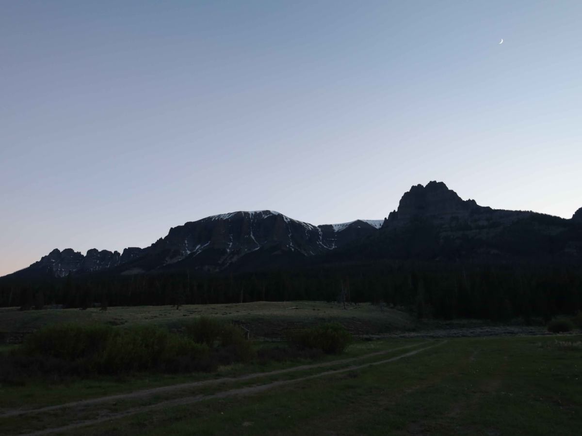
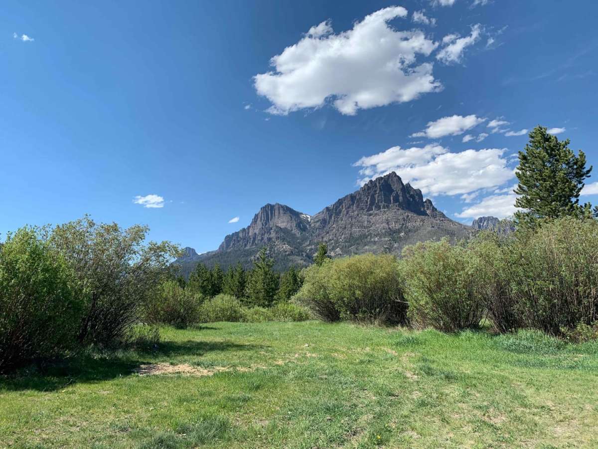
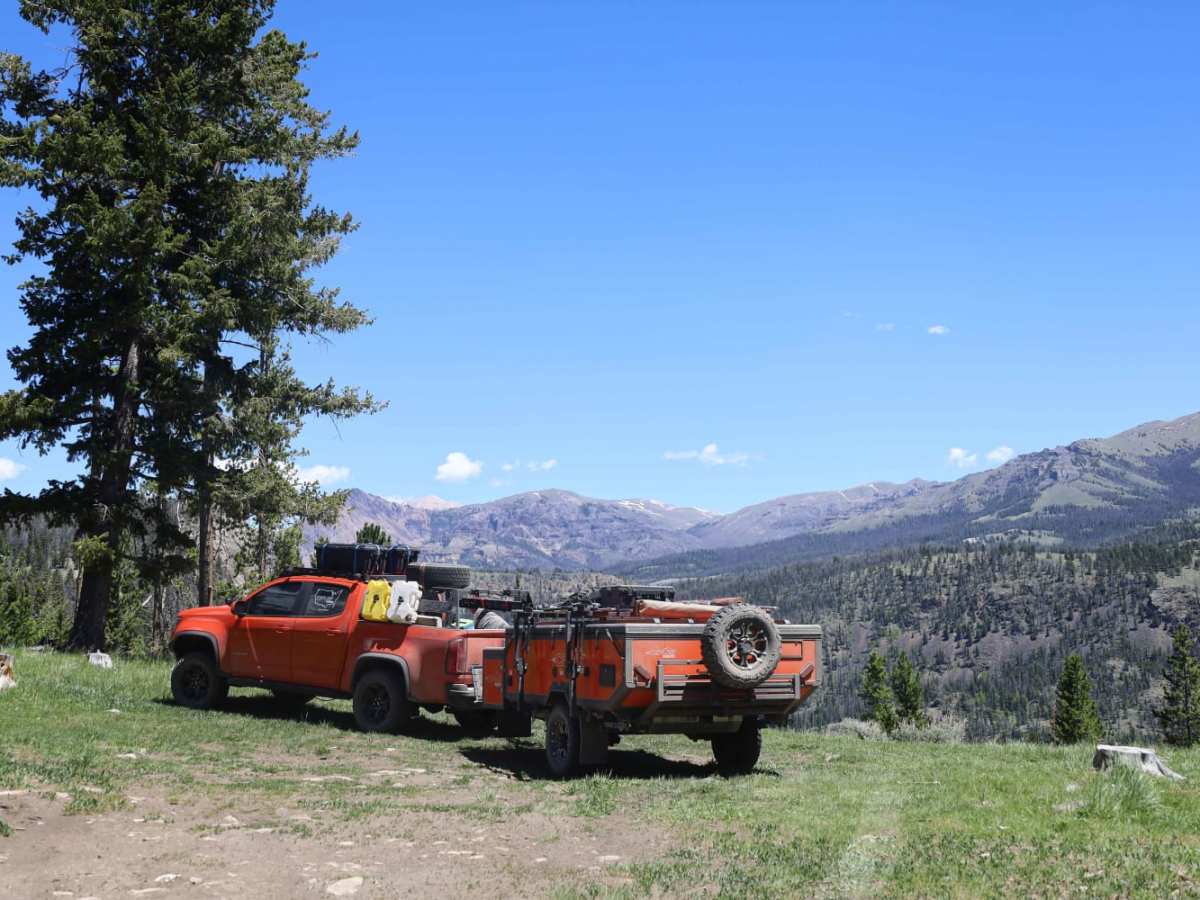
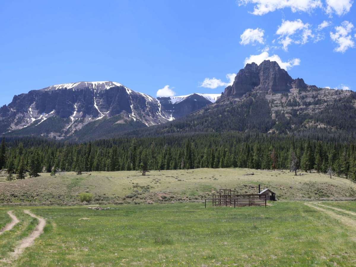
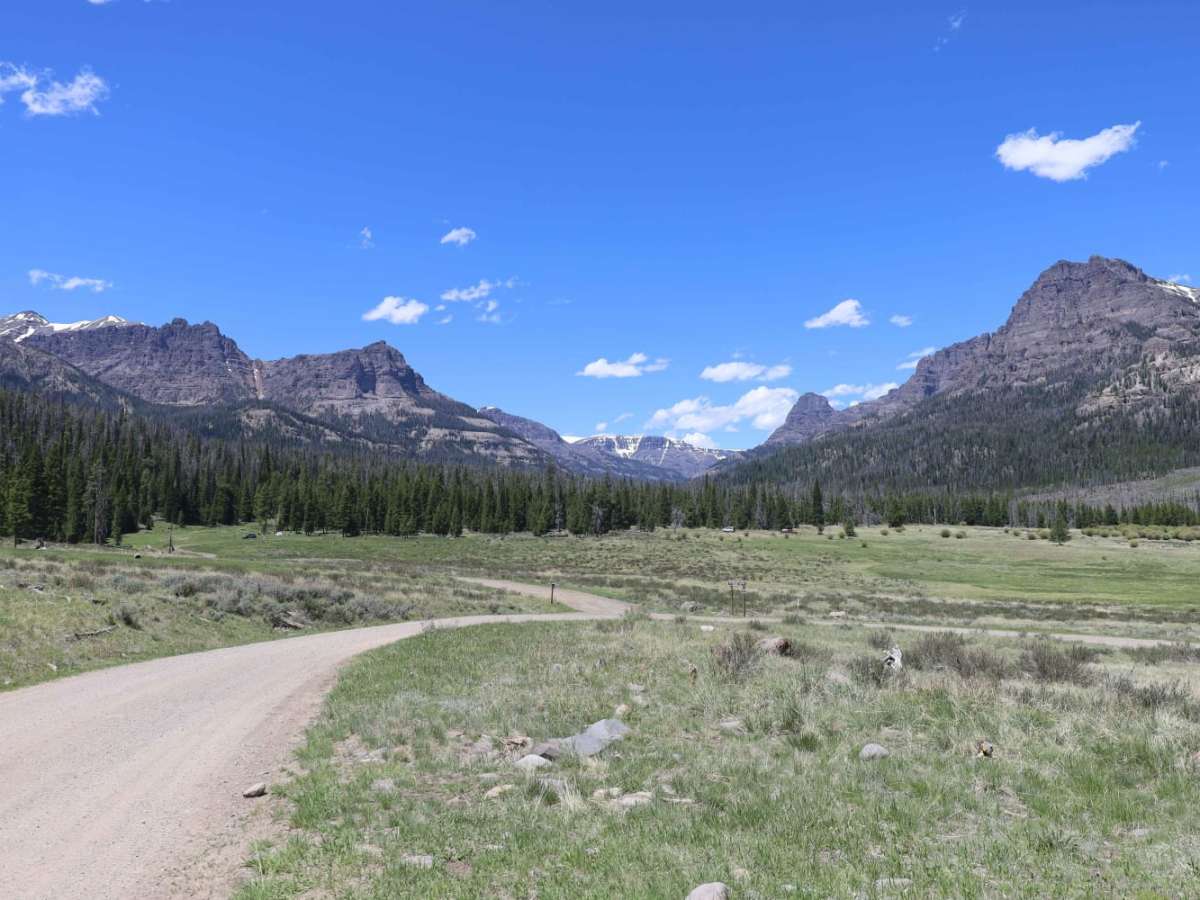
Wiggins Fork is an ideal route for scenic explorers and outdoor enthusiasts looking for an accessible, low-difficulty dirt road that showcases the dramatic transition from rolling high-desert meadows to rugged, snow-capped peaks. Starting right from the town of Dubois, Wyoming, this 18.2-mile trail gradually climbs from an elevation of 6,927 feet to a peak of 8,541 feet, offering over 1,900 feet of cumulative elevation gain. The journey begins along Horse Creek Road as a well-maintained dirt road, but as you travel deeper into the Shoshone National Forest, the track narrows and transitions into a slightly rougher surface marked by washboards, minor ruts, and occasional embedded rocks. While any standard four-wheel-drive or all-wheel-drive vehicle can comfortably navigate these mild obstacles under dry conditions, the route can quickly turn muddy and slick after heavy rains, requiring extra traction and caution.
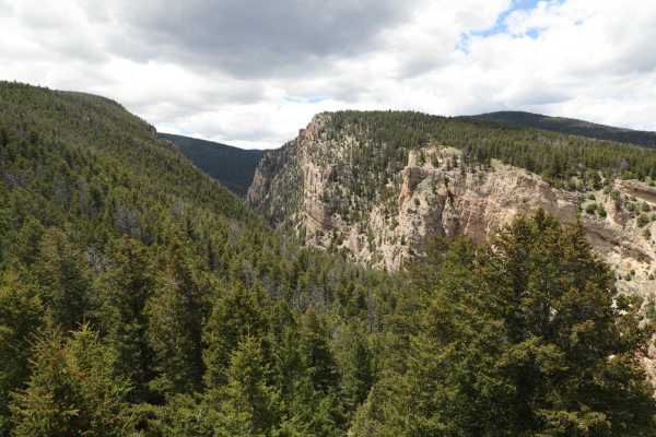
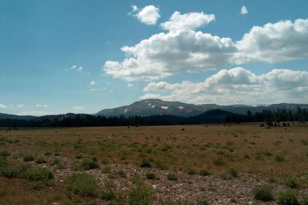
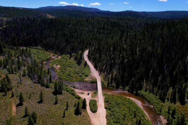
Along the route, travelers will cross scenic waterways via sturdy country bridges, meaning there is no need for deep water crossings, and pass picturesque rock formations reminiscent of the nearby Teton Range. The trail offers excellent access to outdoor recreation, including several campgrounds—one of which is hosted during the peak season—and ample opportunities for dispersed camping, hiking, and trout fishing. At the end of the approximately 45-minute drive, the canyon opens into expansive alpine meadows and creeks where visitors can beachcomb for petrified wood washed down from the mountains. Because cell service is highly spotty throughout the area, preparing with downloaded maps before departing Dubois is highly recommended, and stopping by local fly fishing shops in town is a great way to grab gear and local guide advice before heading out.