
Dirt Bike Trails
Near Dennard, Arkansas
Explore All Dirt Bike Trails Near Dennard, Arkansas
Dirt Bike Trails Near Dennard, Arkansas
Discover the best dirt bike trails near you. Browse trail maps, check difficulty ratings, and find your next adventure — whether you're looking for a quick ride or an all-day expedition.
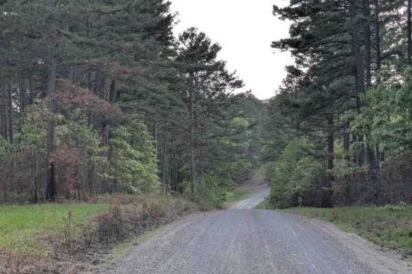
Scott Henderson Gulf Mountain WMA Access Road
The WMA Access Trail begins in the town of Scotland and leads into the Wildlife Management Area along a wide, winding gravel road that is maintained and relatively smooth. Several designated campsites can be found along the route, and an overnight stay at one revealed a peaceful atmosphere. However,...
Learn more about Scott Henderson Gulf Mountain WMA Access Road
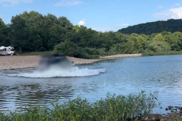
Flat Woolum
Starting off near Flat Arkansas, you make your way North towards Mt. Hersey and then follow the main gravel road down to Woolum. Please keep in mind of the water crossings and make sure to check water levels at all water crossings. Rain can change these crossings and water can be deep at certain tim...
Learn more about Flat Woolum
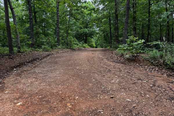
91057C
This county road provides an easy scenic drive through a heavily wooded section of the Ozarks. The route is gravel and generally well maintained, with wider sections near the entrance before gradually narrowing as it approaches the creek area. Tall hardwoods and thick vegetation line both sides of t...
Learn more about 91057C
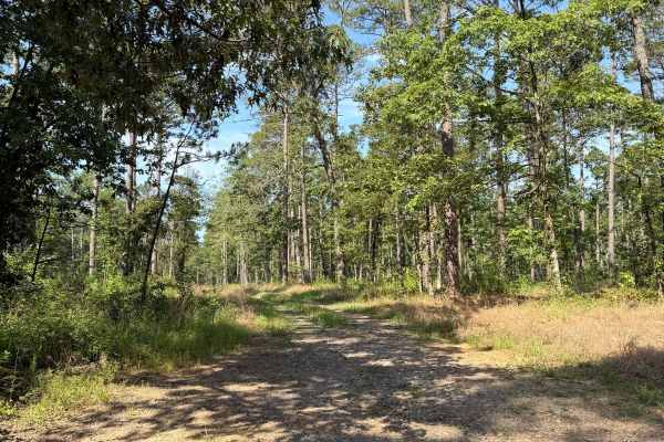
Squeeze
This trail starts fairly easy and is open wide, with a lot of open camping spots that could house several vehicles. The trail only gets more difficult after the last camping area on the driver's side, and you will see the trail become extremely narrow. So narrow that the name for this trail is very ...
Learn more about Squeeze
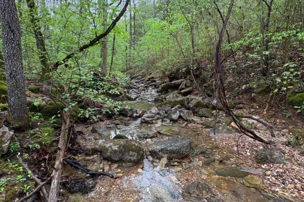
Spring Creek Falls
This trail is located on the eastern side of the Ozark National Forrest. This trail shares the side of the Ozark National Forrest and one side with the Leatherwood Wilderness Management area. Use caution, as well as always double-check MVUM to be sure you are on the correct trail, as Leatherwood Wil...
Learn more about Spring Creek Falls
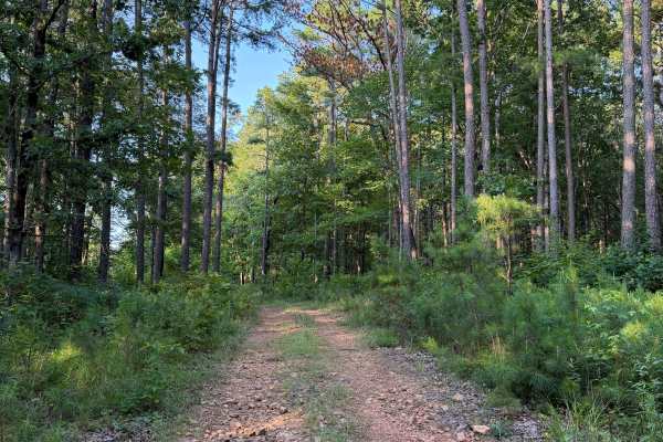
Rocky Branch
This trail has multiple obstacles that could be difficult for some 4x4 vehicles with lower clearance. This is a longer trail that can get worse over time and depending on recent and upcoming weather. This trail has obstacles ranging from creek crossings with large rocks to mud holes that range betwe...
Learn more about Rocky Branch
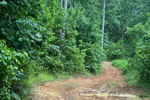
Kincannon Run - FS 1318
Kincannon Run connects Wilderness Mountain Road and Liberty Springs Road (FS 1334). Starting from the north and heading south, the trail begins as an easy drive before transitioning into sections with mud holes, many of which have bypasses, along with a series of whoops that can make for a fun ride....
Learn more about Kincannon Run - FS 1318
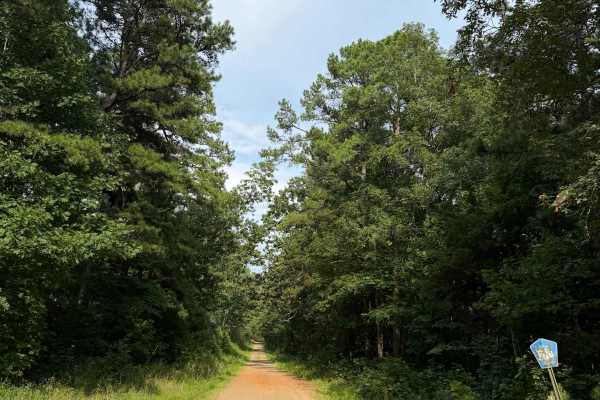
East Fork Bypass
This trail is a great connecting trail between the Wilderness Trail and Highway 27. You can also use this trail to fully connect you between Highway 27 and Highway 95 towards Scotland. This is a very easy scenic drive that has several trails branching off of it. Some sections are a bit rutted out at...
Learn more about East Fork Bypass
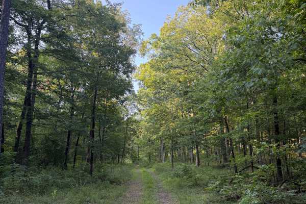
Stevens Steep
This trail starts off the Wilderness Trail and heads North towards Rocky Branch Trail. This trail starts with some off-camber sections that are becoming washed out and will only get worse over time. This trail also ends at a beautiful camping spot that can house several vehicles.
Learn more about Stevens Steep

Brock 42
This 3-mile ATV-access trail serves as a primary connector across the trail system, offering a practical access route from the northern Austin Trailhead down to Charleston Road, which takes you to the southern staging area. From the north end, the trail is mostly flat and smooth, varying from road w...
Learn more about Brock 42

Brock 28
This 1.3-mile-long singletrack offers a rugged and technical ride through a dense forest of red oaks and hickories. Although marked at both entrances and throughout the route with diamonds on the trees, the trail is somewhat faint and overgrown at times, making it harder to navigate. The narrow path...
Learn more about Brock 28
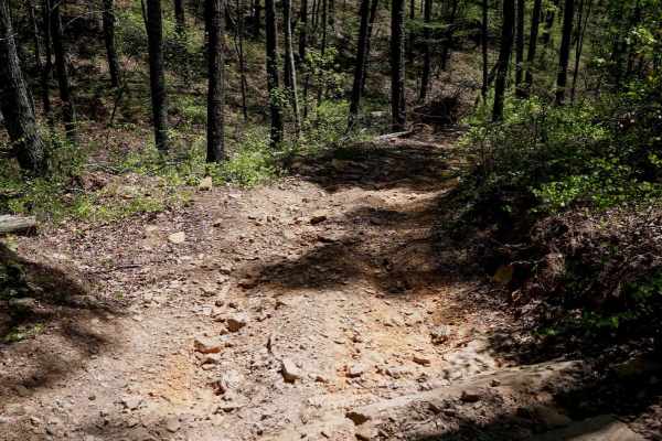
Brock 46
This is a fun 2.6-mile gradual descent from east to west. It's mostly a smooth, wide two-track route that's fast and flowy, weaving through tall pines and open glades. The surface features loose, flat cobbly rock with occasional small roots, mud puddles, and shallow ruts, especially in the steeper s...
Learn more about Brock 46
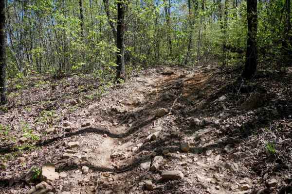
46 Connector
This short connector between Brock 46 and 43 offers an easy ride through a wide-open forest of oaks and pine trees, with plenty of sun exposure. The two-track path cuts across a hillside and features shallow ruts, loose rock, and a few short but steeper climbs that are rockier than the rest of the r...
Learn more about 46 Connector
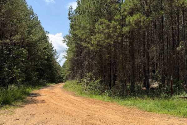
Flex City
This Trail is an in-and-out due to private property issues. This trail has a lot to offer, ranging from extremely off-camber sections that could put you in a bind to good sized mud-holes depending on recent rain. Running this trail from East to West, you will first do the off-camber section and then...
Learn more about Flex City
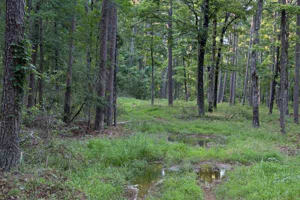
Mud Season
This Trail is can only be accessed from the Wilderness Trail. Heading North on this trail, you will be met with tight and overgrown vegetation that opens up a bit after the first tenth of a mile. Then you are met with multiple mud holes that range in depth. Some of these mud holes will swallow a 35"...
Learn more about Mud Season
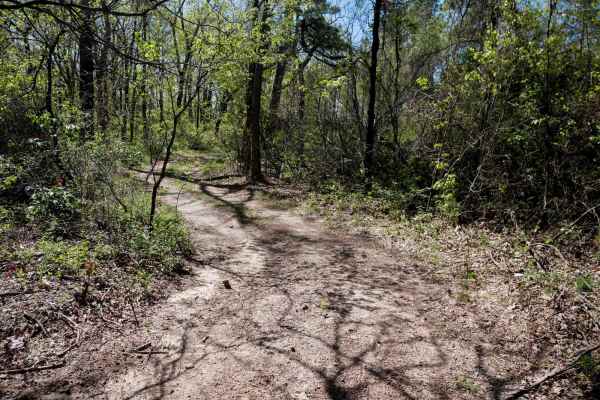
Brock 50
Spanning 1.7 miles through the Ozark National Forest, this wide dirt two-track offers a gradual climb with a few hundred feet of elevation gain. The route stretches from Road 1318 to ATV Trail 46 and features small hills up and down, a couple of steeper spots, and occasional downed branches. The pat...
Learn more about Brock 50

Brock 49
Brock 49 is a short trail, less than a mile in length, located in the Ozark National Forest and running parallel to Trail 50. Slightly more challenging than Trail 50, it features a steeper downhill section at the north end, covered in loose, flat rock that will require caution. The trail winds throu...
Learn more about Brock 49
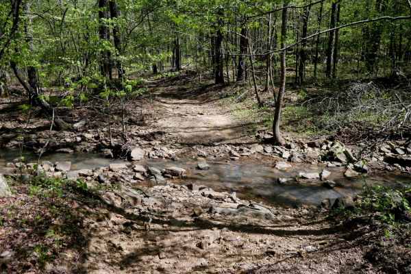
Brock 51
This wide two-track trail winds northeast through a scenic forest of dogwoods, offering a mix of dirt and loose rocky terrain. While generally accessible, riders should be aware that the southern entrance can flood after heavy rain, and some sections may be troughed out with mud puddles--though bypa...
Learn more about Brock 51

Brock 29
This singletrack serves as a useful shortcut between Brock 25 and 27, allowing riders to cut across the much longer Brock 23 loop. The narrow path winds through forested terrain, descending a couple of hundred feet from north to south with the steepest section near the bottom. Expect a mix of dirt, ...
Learn more about Brock 29

Driver Creek Dam/Cedar Mountain
Driver Creek Dam starts out as an easy gravel road that winds through the forest, with steep grades and large gravel. You start at Cedar Mountain where you will find some amazing views and a huge dispersed campsite with a fire ring. This would be a perfect spot for someone traveling out of town and...
Learn more about Driver Creek Dam/Cedar Mountain
ATV trails near Dennard, Arkansas
Explore ATV-friendly trails near you. These trails are accessible for vehicles up to 50 inches wide, perfect for ATVs and smaller off-road machines.
Scott Henderson Gulf Mountain WMA Access Road
The WMA Access Trail begins in the town of Scotland and leads into the Wildlife Management Area along a wide, winding gravel road that is maintained and relatively smooth. Several designated campsites can be found along the route, and an overnight stay at one revealed a peaceful atmosphere. However,...
Learn more about Scott Henderson Gulf Mountain WMA Access Road
Flat Woolum
Starting off near Flat Arkansas, you make your way North towards Mt. Hersey and then follow the main gravel road down to Woolum. Please keep in mind of the water crossings and make sure to check water levels at all water crossings. Rain can change these crossings and water can be deep at certain tim...
Learn more about Flat Woolum
91057C
This county road provides an easy scenic drive through a heavily wooded section of the Ozarks. The route is gravel and generally well maintained, with wider sections near the entrance before gradually narrowing as it approaches the creek area. Tall hardwoods and thick vegetation line both sides of t...
Learn more about 91057C
Squeeze
This trail starts fairly easy and is open wide, with a lot of open camping spots that could house several vehicles. The trail only gets more difficult after the last camping area on the driver's side, and you will see the trail become extremely narrow. So narrow that the name for this trail is very ...
Learn more about Squeeze
UTV/side-by-side trails near Dennard, Arkansas
Find UTV and side-by-side trails near you. These trails accommodate vehicles up to 60 inches wide, ideal for UTVs, side-by-sides, and wider off-road rigs.
Scott Henderson Gulf Mountain WMA Access Road
The WMA Access Trail begins in the town of Scotland and leads into the Wildlife Management Area along a wide, winding gravel road that is maintained and relatively smooth. Several designated campsites can be found along the route, and an overnight stay at one revealed a peaceful atmosphere. However,...
Learn more about Scott Henderson Gulf Mountain WMA Access Road
Flat Woolum
Starting off near Flat Arkansas, you make your way North towards Mt. Hersey and then follow the main gravel road down to Woolum. Please keep in mind of the water crossings and make sure to check water levels at all water crossings. Rain can change these crossings and water can be deep at certain tim...
Learn more about Flat Woolum
91057C
This county road provides an easy scenic drive through a heavily wooded section of the Ozarks. The route is gravel and generally well maintained, with wider sections near the entrance before gradually narrowing as it approaches the creek area. Tall hardwoods and thick vegetation line both sides of t...
Learn more about 91057C
Squeeze
This trail starts fairly easy and is open wide, with a lot of open camping spots that could house several vehicles. The trail only gets more difficult after the last camping area on the driver's side, and you will see the trail become extremely narrow. So narrow that the name for this trail is very ...
Learn more about Squeeze
The onX Offroad Difference
onX Offroad combines trail photos, descriptions, difficulty ratings, width restrictions, seasonality, and more in a user-friendly interface. Available on all devices, with offline access and full compatibility with CarPlay and Android Auto. Discover what you're missing today!
Open Trail Map